Turkey Bay Gate FSR 167
Total Miles
0.4
Technical Rating
Best Time
Spring, Summer, Fall, Winter
Trail Type
Full-Width Road
Accessible By
Trail Overview
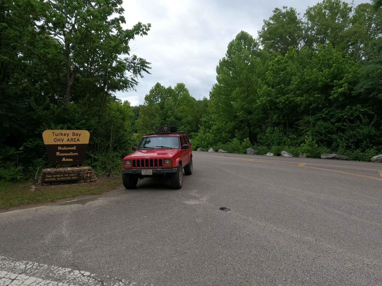
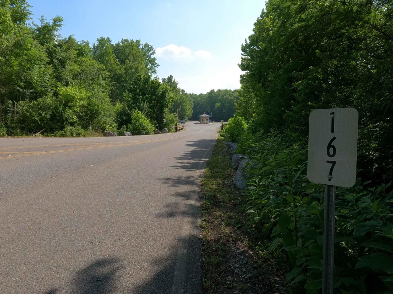
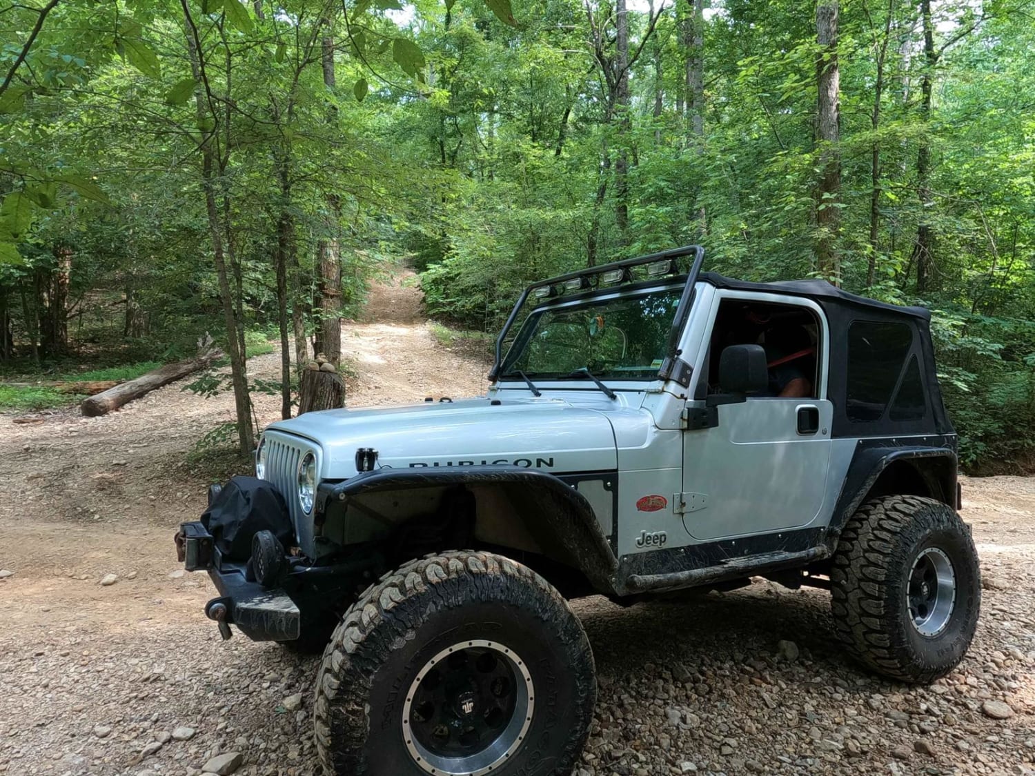
Turkey Bay Gate FSR 167 is the paved entry to gravel main hub and parking section of the Turkey Bay OHV Area, within the Land Between the Lakes National Recreation Area. At the entry you pass the picture worthy Turkey Bay OHV forestry sign, which shortly leads you to the sign in and fee gate house. Entry is $20 for a 1-3 day permit, or $100 for an annual permit (always expires at end of year on December 31st), each permit covers one said OHV vehicle and covers the passengers within. After the gate house the lot quickly turns into gravel, and features wide open area to park a trailer, or air down, there is also a picnic bench and 24 hour camping area, at 36.74997, -88.07197. There is also the well house (fresh water) on the far west side of this lot, at 36.74914, -88.07496. Straight from the lot you can pick up two primary routes to start exploring the park, the 9 to 8 Road which starts at 36.75099, -88.07203, and heads north up the far east side of the park, and the FSR 167 which starts at 36.74906, -88.07505 and travels west on the farthest south side of the park until it meets bay water and a 24 hour generator campsite area at 36.74444, -88.08911. This is a great foundational road to use to get around the park quickly. It is also a great road to aim for when using secondary routes as your end goal or starting point. To exit the park simply head east past the gate house.
Photos of Turkey Bay Gate FSR 167
Difficulty
The difficulty of the Turkey Bay Gate FSR 167 is minimal, though does feature course rock, some soft spots, some water collection spots, and soft soil when off the gravel, but if you use the road in the appropriate spots is no more than a 1/10, though may have a few spots featuring 2/10 level water and mud.
Status Reports
Turkey Bay Gate FSR 167 can be accessed by the following ride types:
- High-Clearance 4x4
- SUV
- SxS (60")
- ATV (50")
- Dirt Bike
Turkey Bay Gate FSR 167 Map
Popular Trails

Bogie Mill - Eddington
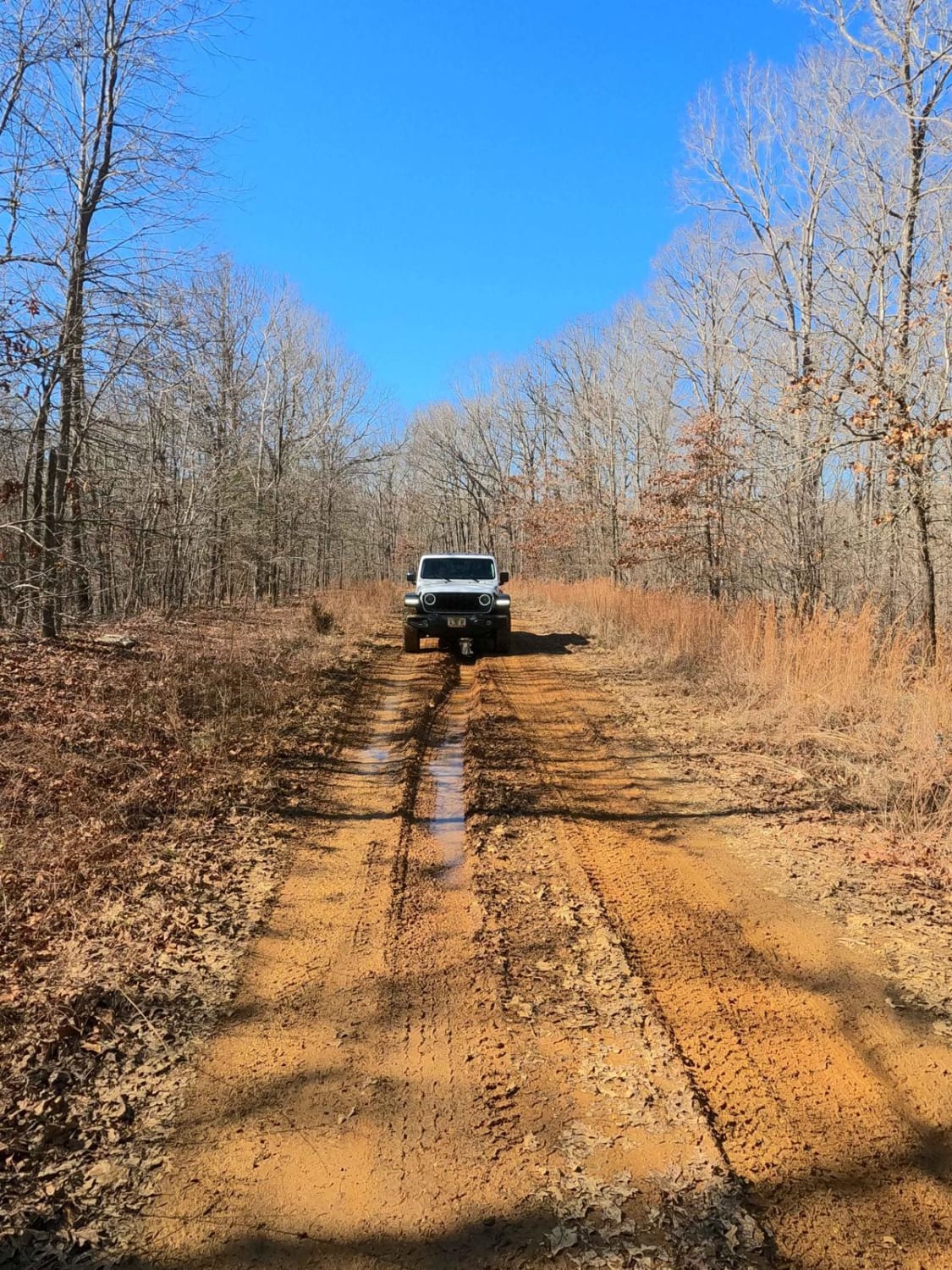
Racetrack Hollow Road - FS 131
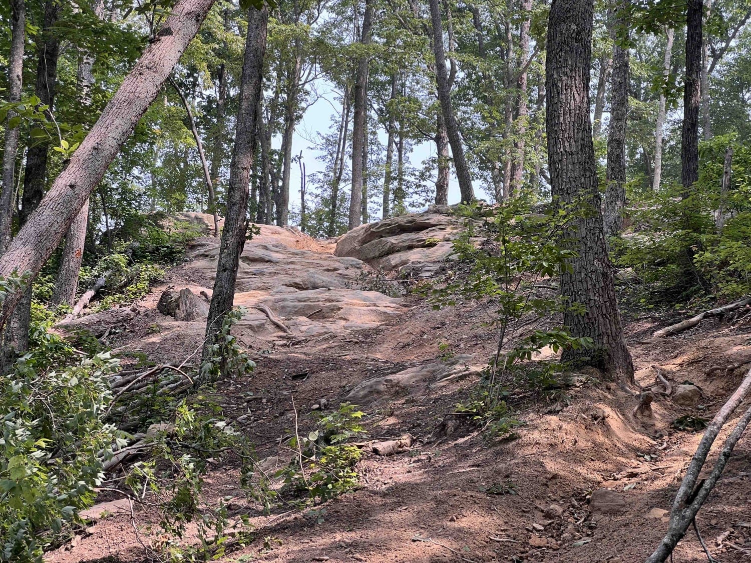
Trail 38 Hollerwood Tipsy Rock Overlook
Rock Garden - 6 to C Road
The onX Offroad Difference
onX Offroad combines trail photos, descriptions, difficulty ratings, width restrictions, seasonality, and more in a user-friendly interface. Available on all devices, with offline access and full compatibility with CarPlay and Android Auto. Discover what you’re missing today!
