Racetrack Hollow Road - FS 131
Total Miles
3.0
Elevation
177.93 ft
Duration
0.75 Hours
Technical Rating
Best Time
Spring, Summer, Fall, Winter
Trail Overview
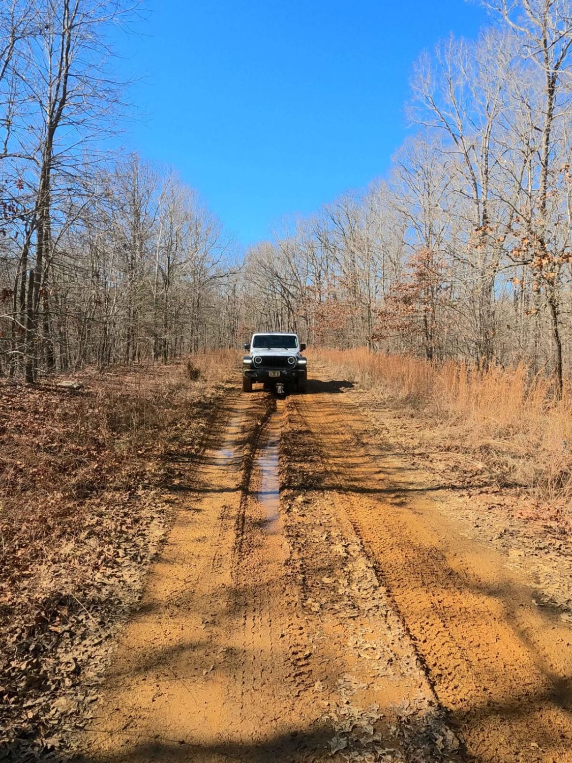
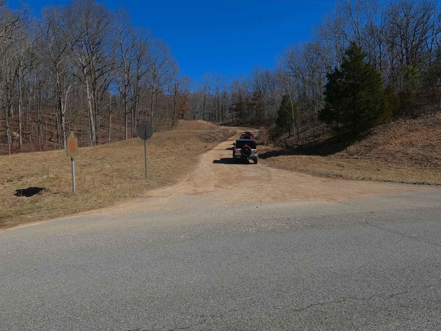
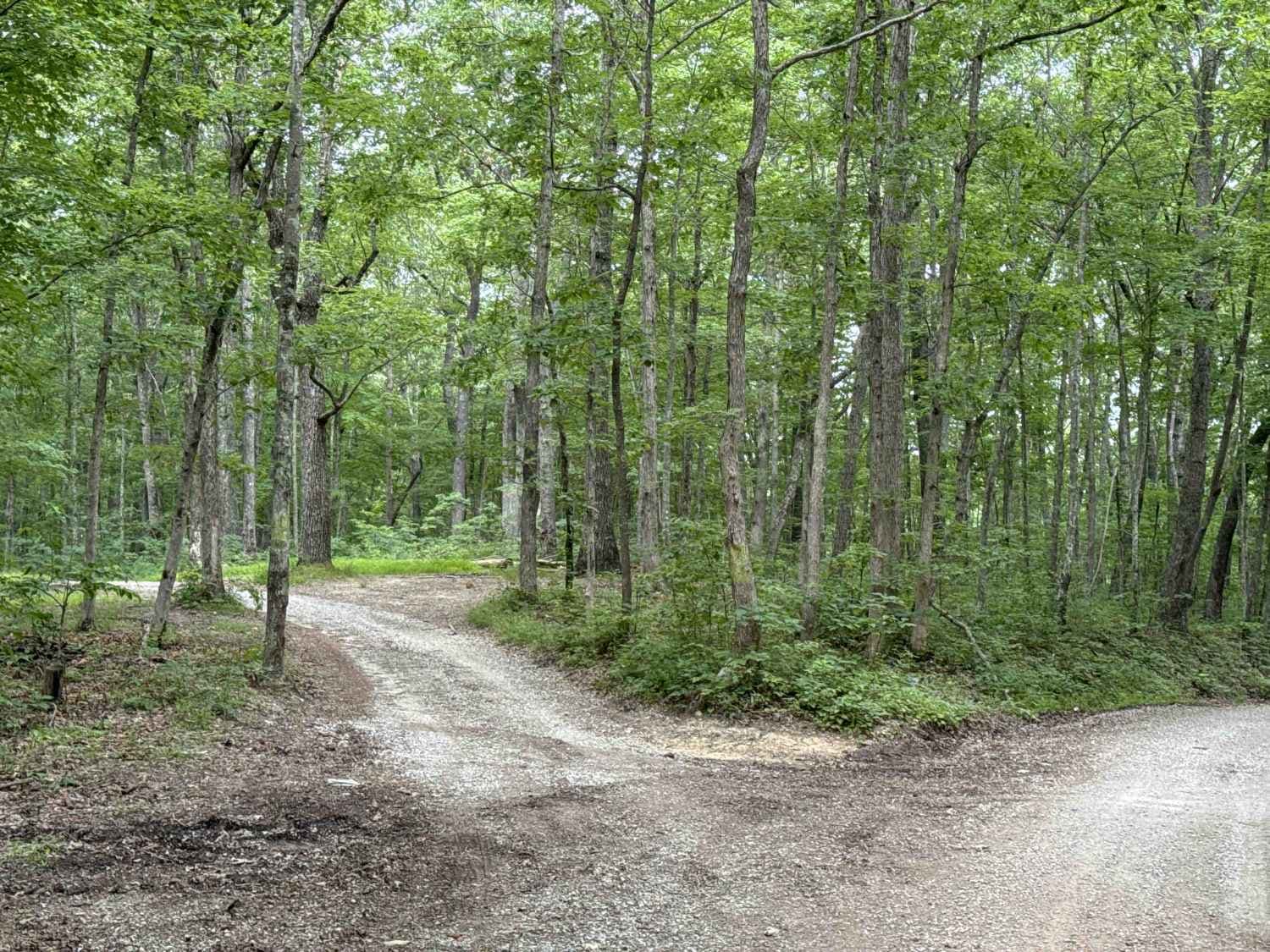
Racetrack Hollow Road FS 131 is a natural-improved forestry road through the inland center Kentucky section of the Land Between the Lakes National Recreation Area. The road features large sections of well-maintained gravel, with small obstacles scattered throughout--water collection spots, small depth mud holes, mild erosion on the mild grades, and rutted-out spots. The most notable spot is the "Pit Stop" at Fulton Creek; here, there is a mild creek crossing, with a large 2- to 3-foot muddy clay (close to verticle) berm to climb out of the muddy loose creek bank. The alternate routes here feature a more gracious angled climb but are taller, at 4 to 6 feet tall. There is also a 2- to 3-foot-deep mud hole after these alternate exits from the creek, and this is required to pass this area. "The Pit Stop" is found on the far east end of the track at 36.92190, -88.06653, near the intersection with FS 312. In purpose, the road is an east-to-west connector of the north-to-south routes of the Woodland Trace on the center-west side to the Back Mail Route Road FS 312 on the east of LBL. Another notable part of this trail is the far west section; it is shared with the Hematite Tower Road FS 310 for 0.55 miles, just south of the Hematite Fire Tower location. The FS 310 eventually diverts and goes southwest at 36.91320, -88.09647. It's a great trail to check out and experience, being one of the staple trails of the LBL binder.
Photos of Racetrack Hollow Road - FS 131
Difficulty
The Racetrack Hollow is a fun and easy trail that has large sections that ride like a 3/10 for the majority of the trail. It has small water collection holes, mild mud holes, and subtle erosion and ruts on the hills, all being 12 inches or less in depth. There is the "Pit Stop" at Fulton Creek--here, there is a mild creek crossing 6-12 inches in depth on an average day and a loose creek gravel bed. On the east side of the creek, there is a 2- to 3-foot muddy clay (close to verticle) berm to climb out of the muddy loose bank. The alternate routes here are more graciously angled but are taller, at 4-6 feet tall. There is also a 2- to 3-foot deep mud hole after these alternate exits from the creek; it is required to pass the area. These things said, it's given a base rating of low-demanding 5/10 for the depth of the mudhole and berm at the "Pit Stop." Outside this spot, the rest of the trail is a medium-demanding 3/10 throughout. Difficulty can increase in wet conditions, inclement weather, and heavy use. Creekside debris shows signs of water being at greater depths at Fulton Creek. If the road were to be mended, it would yield a lower rating.
Status Reports
Popular Trails
9 to 8 Road
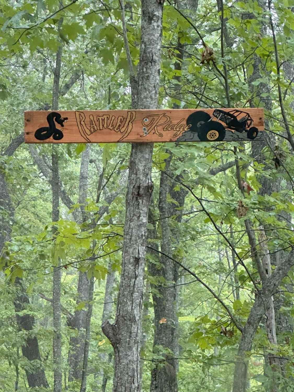
Rattler Ridge
Rockcastle Exploring River Bypass
The onX Offroad Difference
onX Offroad combines trail photos, descriptions, difficulty ratings, width restrictions, seasonality, and more in a user-friendly interface. Available on all devices, with offline access and full compatibility with CarPlay and Android Auto. Discover what you’re missing today!