Eagle Point - FS 168
Total Miles
1.7
Technical Rating
Best Time
Spring, Summer, Fall, Winter
Trail Type
Full-Width Road
Accessible By
Trail Overview
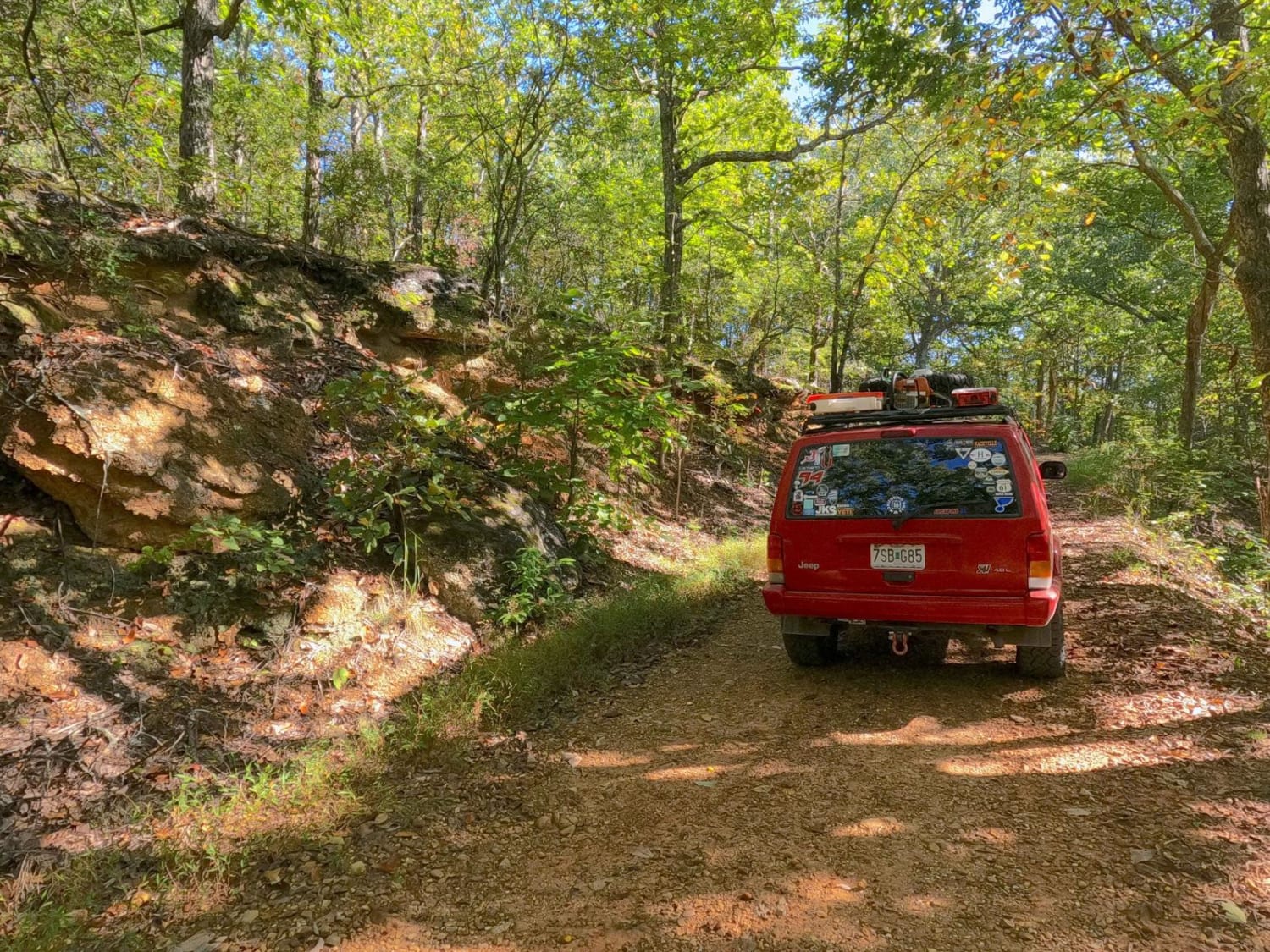
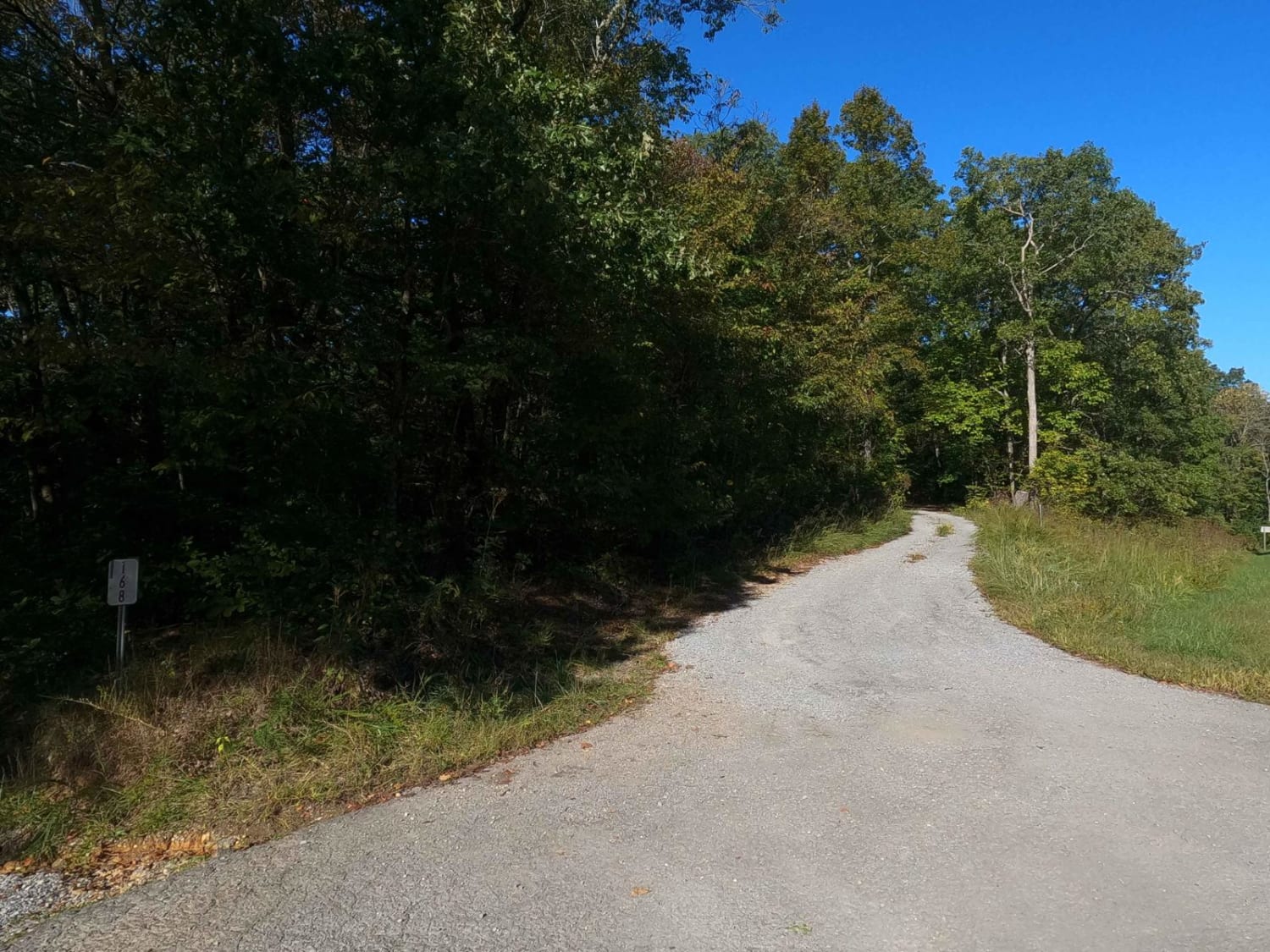
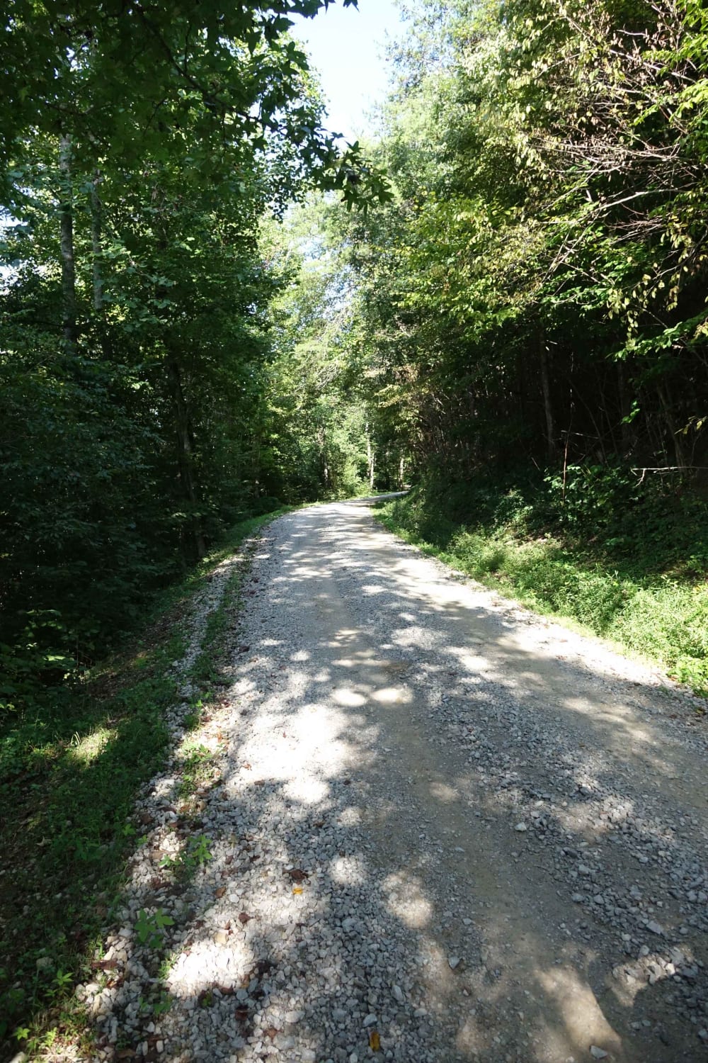
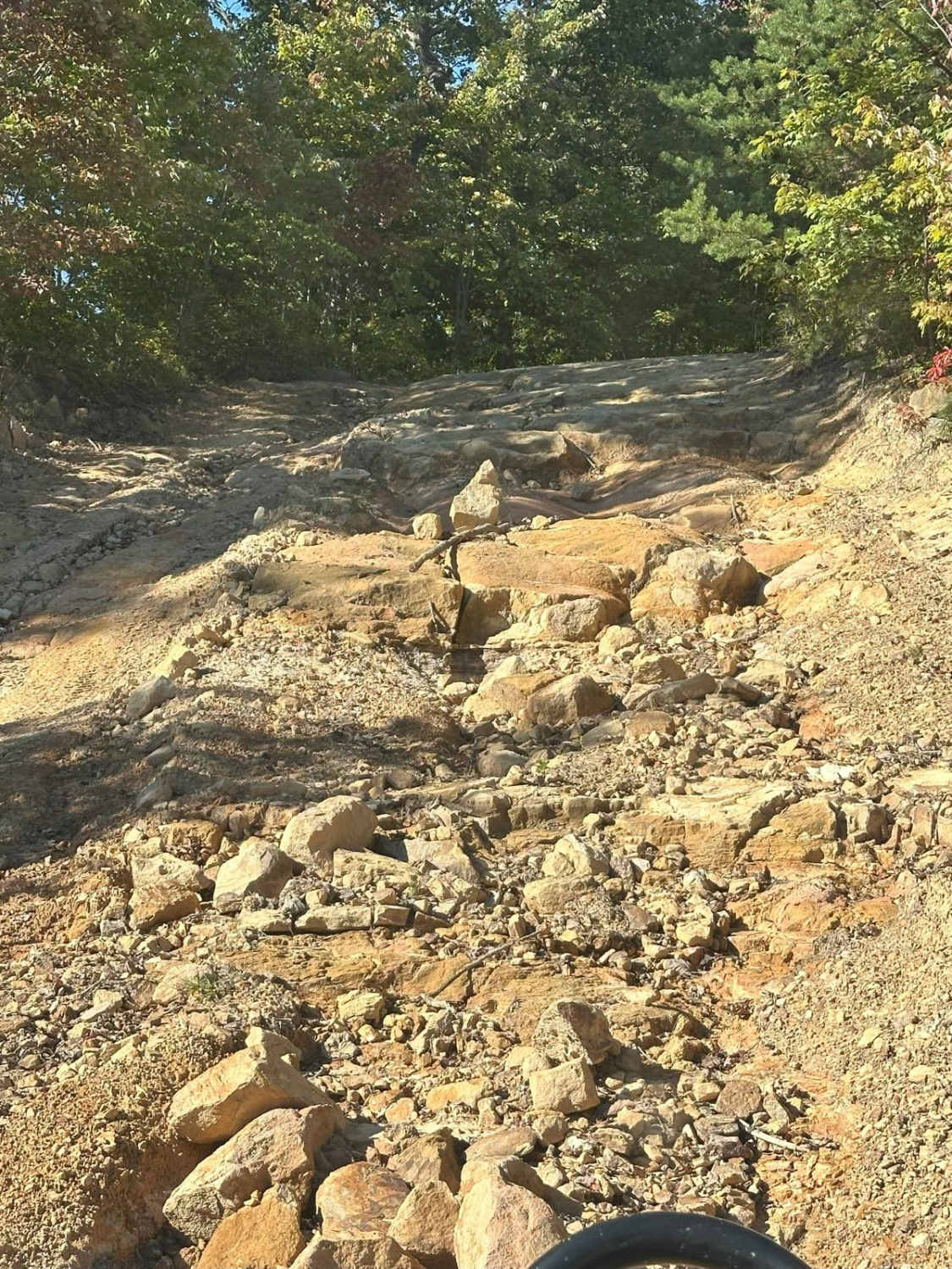
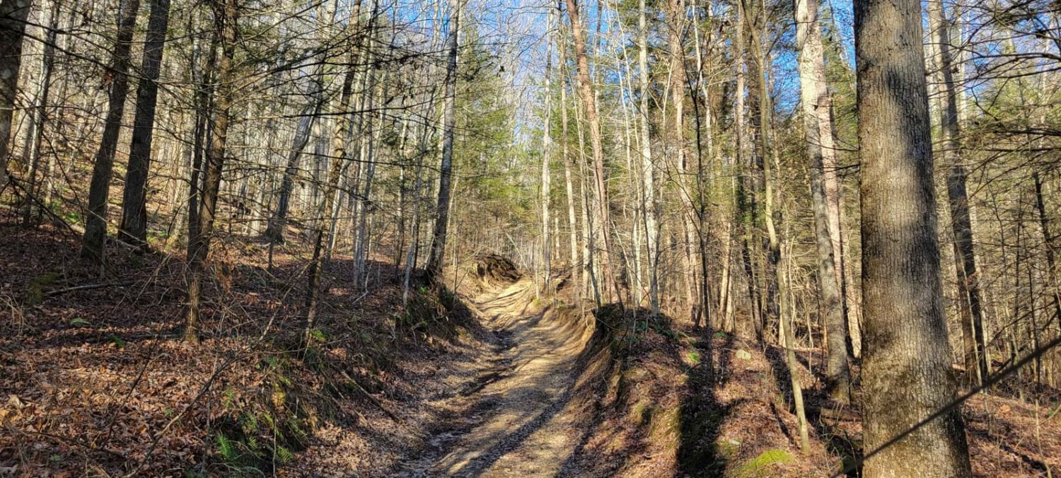
Eagle Point FS 168 is a gravel forestry road through the southwest corner of the Kentucky section, Kentucky Lake side, of the Land Between the Lakes National Recreation Area. This road features small rolling hills and beautiful tree lines, with rutted gravel sections, minimal water collection spots on the road surface, and occasional mild soft spots. The last quarter mile leading to the turnaround gravitates to a natural-improved state. The road is very scenic, at one spot featuring a small rock bluff at 36.73575, -88.06969 to the north of the trail. The trail also features decently sized dispersed camping cut-outs and a turnaround point at the end with a few stone fire rings to boast, a great spot to camp for both new overlanders and seasoned alike. The turnaround also features a short steep incline as an optional obstacle.
Photos of Eagle Point - FS 168
Difficulty
The difficulty of the Eagle Point FS 168 is minimal, featuring mild erosion ruts on the mild hills, soft gravel fading to dirt spots in the valleys, and towards the end the the road fades into more of a naturally improved state, featuring coarse natural gravel and small natural rock placed amongst the trail. It is given a 2/10 base rating for its simplicity, its mild challenges of ruts crossing the path, and the tight and steep dirt incline found at the turnaround point. It's a great beginner trail to get into the world of overlanding. The difficulty will increase in wet conditions and rainy seasons.
Status Reports
Eagle Point - FS 168 can be accessed by the following ride types:
- High-Clearance 4x4
- SUV
Eagle Point - FS 168 Map
Popular Trails
Daughtry to Sheltowee Trace
The onX Offroad Difference
onX Offroad combines trail photos, descriptions, difficulty ratings, width restrictions, seasonality, and more in a user-friendly interface. Available on all devices, with offline access and full compatibility with CarPlay and Android Auto. Discover what you’re missing today!
