Pine Flat - Laurel Fork Road
Total Miles
3.1
Technical Rating
Best Time
Spring, Summer, Fall, Winter
Trail Type
Full-Width Road
Accessible By
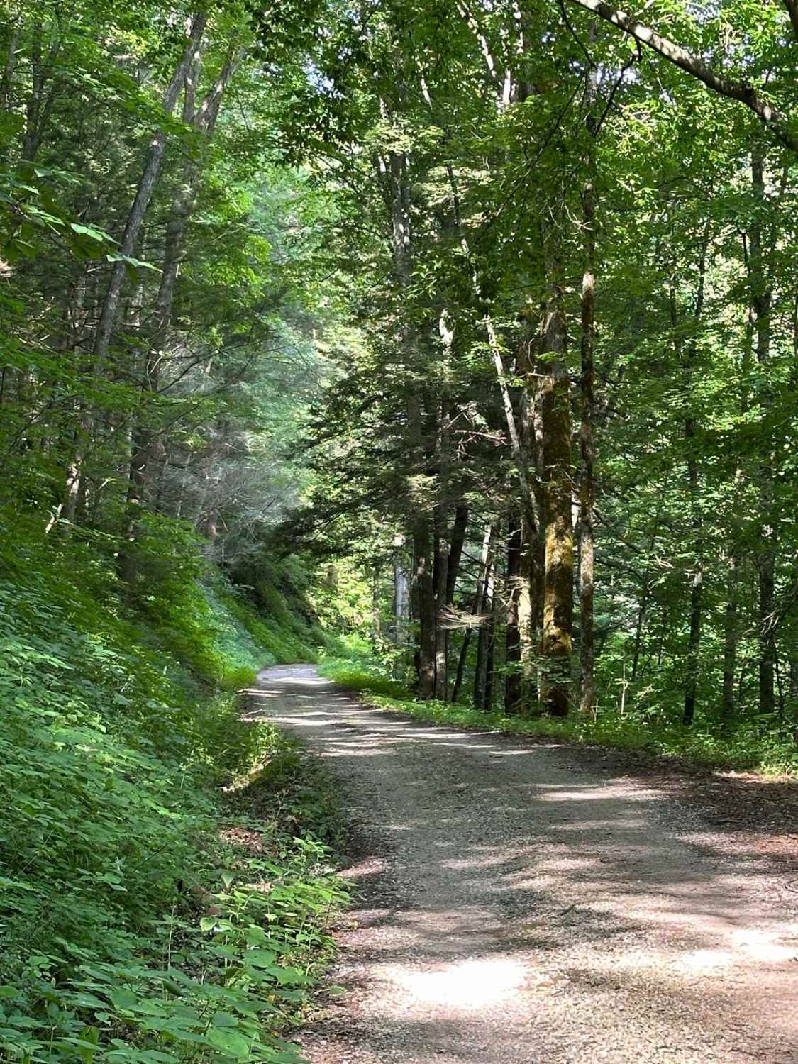
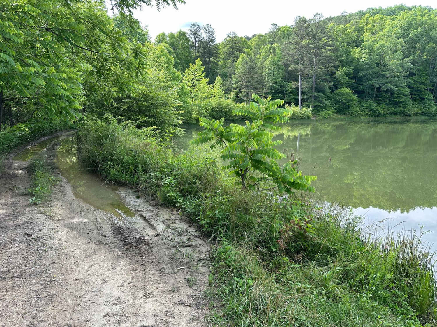
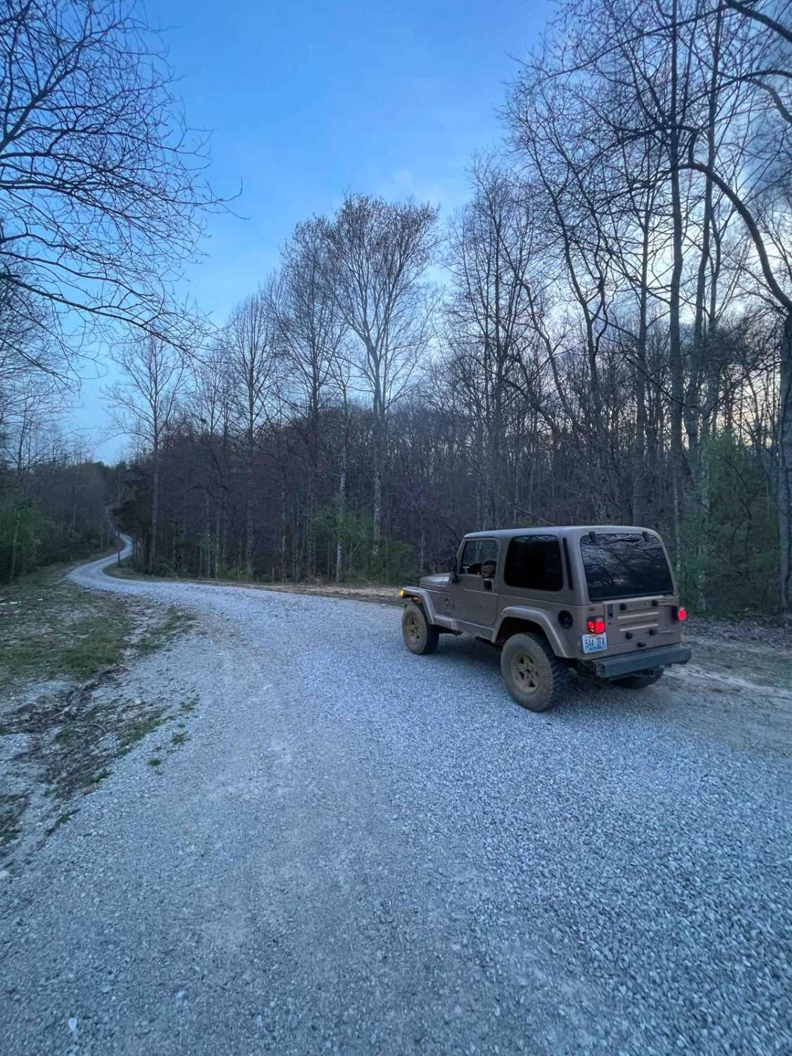
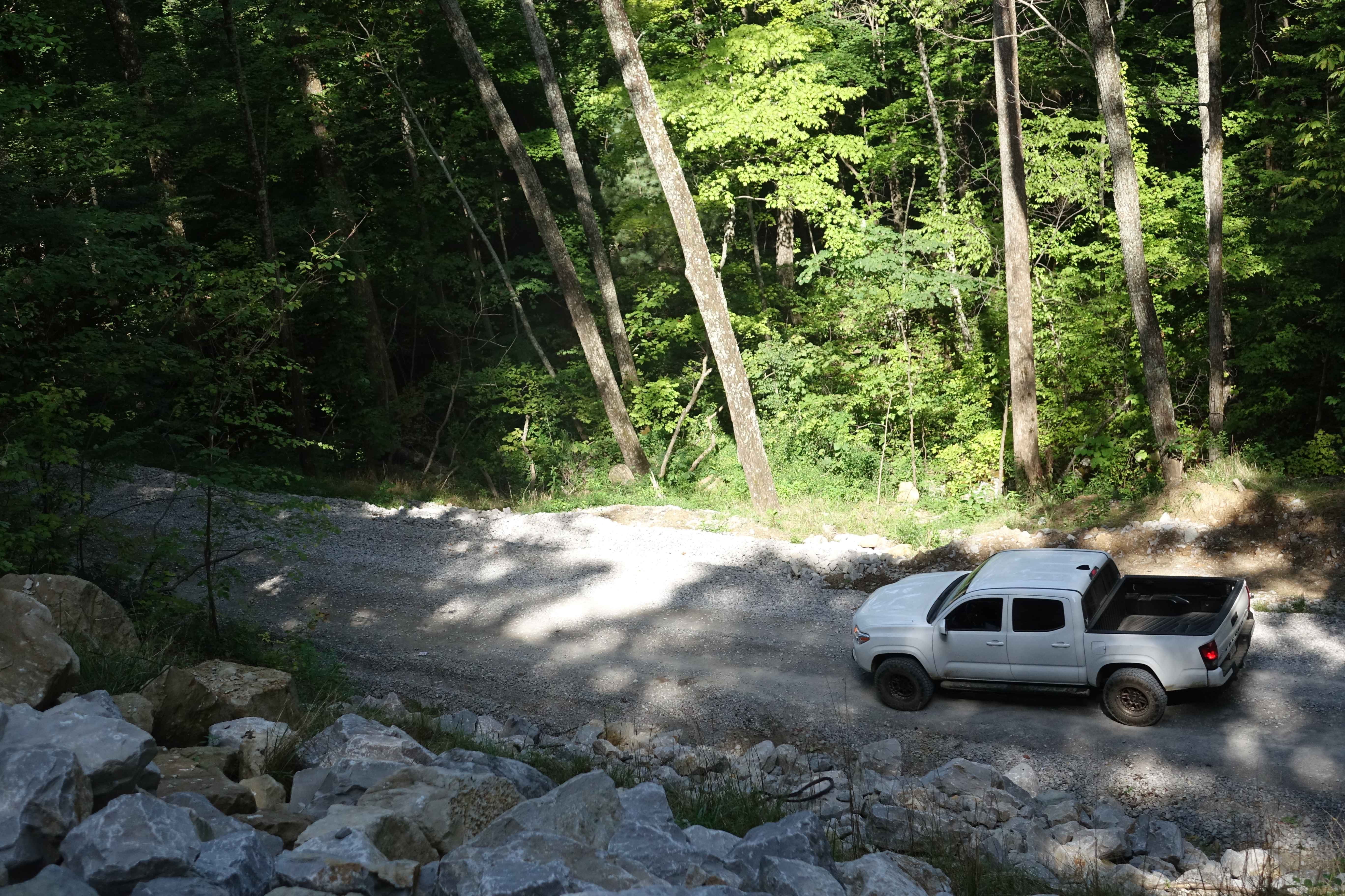
Trail Overview
This starts on either side as a gravel-maintained route and then transitions to a more rough and technical area, as parts of the route are unmaintained. Some spots become tight between small trees. There is a short hill climb or descent with small ruts. The route travels along the Laurel Fork Creek and past a reservoir, which is a great location for camping. A water crossing is on the route that is less than 12 inches deep. The majority of the route is through the Daniel Boone National Forest.
Photos of Pine Flat - Laurel Fork Road
Difficulty
The majority of the route is easy. However, there is a short area in the middle that has water crossings, ruts, and fairly steep climbs/descents, where four-wheel drive will be needed. Additionally, a short section may become tight between small trees.
History
This trail is a county-maintained and partially unmaintained road part of the Daniel Boone Backcountry Byway.
Status Reports
Pine Flat - Laurel Fork Road can be accessed by the following ride types:
- High-Clearance 4x4
- SUV
Pine Flat - Laurel Fork Road Map
Popular Trails

Mary's Wild Horse Trail
Ryans Mountain Road

The onX Offroad Difference
onX Offroad combines trail photos, descriptions, difficulty ratings, width restrictions, seasonality, and more in a user-friendly interface. Available on all devices, with offline access and full compatibility with CarPlay and Android Auto. Discover what you’re missing today!