Ugly Creek - Mammoth Cave NP
Total Miles
4.6
Technical Rating
Best Time
Spring, Summer, Fall, Winter
Trail Type
Full-Width Road
Accessible By
Trail Overview
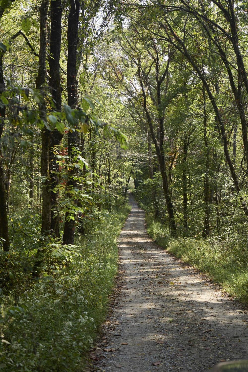
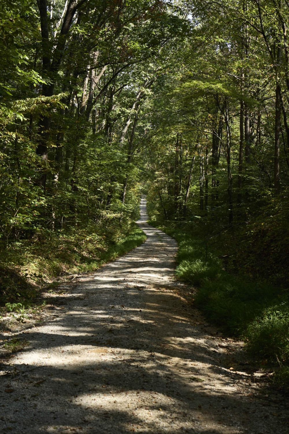
Ugly Creek Road is a 3.5-mile one-way trail that is located within Mammoth Cave National Park. The trail begins off Green River Ferry Road (1352) and ends on Dennison Ferry Road. The trail can be run in either direction; however, there is a possible impassable water crossing closer to the Green River Ferry Road side if the water is covering the road. After heavy storms there is a possible chance of water covering the road, the park service does not recommend crossing due to the swift possible currents and the slick concrete dam you will be driving across. Since this trail is entirely within the park boundary be sure to check nps.gov/maca before going for any closures or alerts.
Photos of Ugly Creek - Mammoth Cave NP
Difficulty
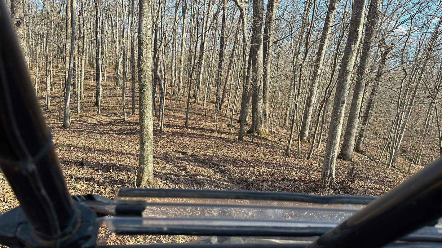
The trail is maintained by the park service; however, there are a few steep washed-out sections when winding down and out of Ugly Creek. It is not recommended to cross Ugly Creek if water is covering the concrete dam.
Status Reports
Ugly Creek - Mammoth Cave NP can be accessed by the following ride types:
- High-Clearance 4x4
- SUV
- SxS (60")
- ATV (50")
- Dirt Bike
Ugly Creek - Mammoth Cave NP Map
Popular Trails

Black Lick Rd - DBBB
The onX Offroad Difference
onX Offroad combines trail photos, descriptions, difficulty ratings, width restrictions, seasonality, and more in a user-friendly interface. Available on all devices, with offline access and full compatibility with CarPlay and Android Auto. Discover what you’re missing today!


