Vickers Ridge Road - FS 336
Total Miles
1.8
Technical Rating
Best Time
Spring, Summer, Fall, Winter
Trail Type
Full-Width Road
Accessible By
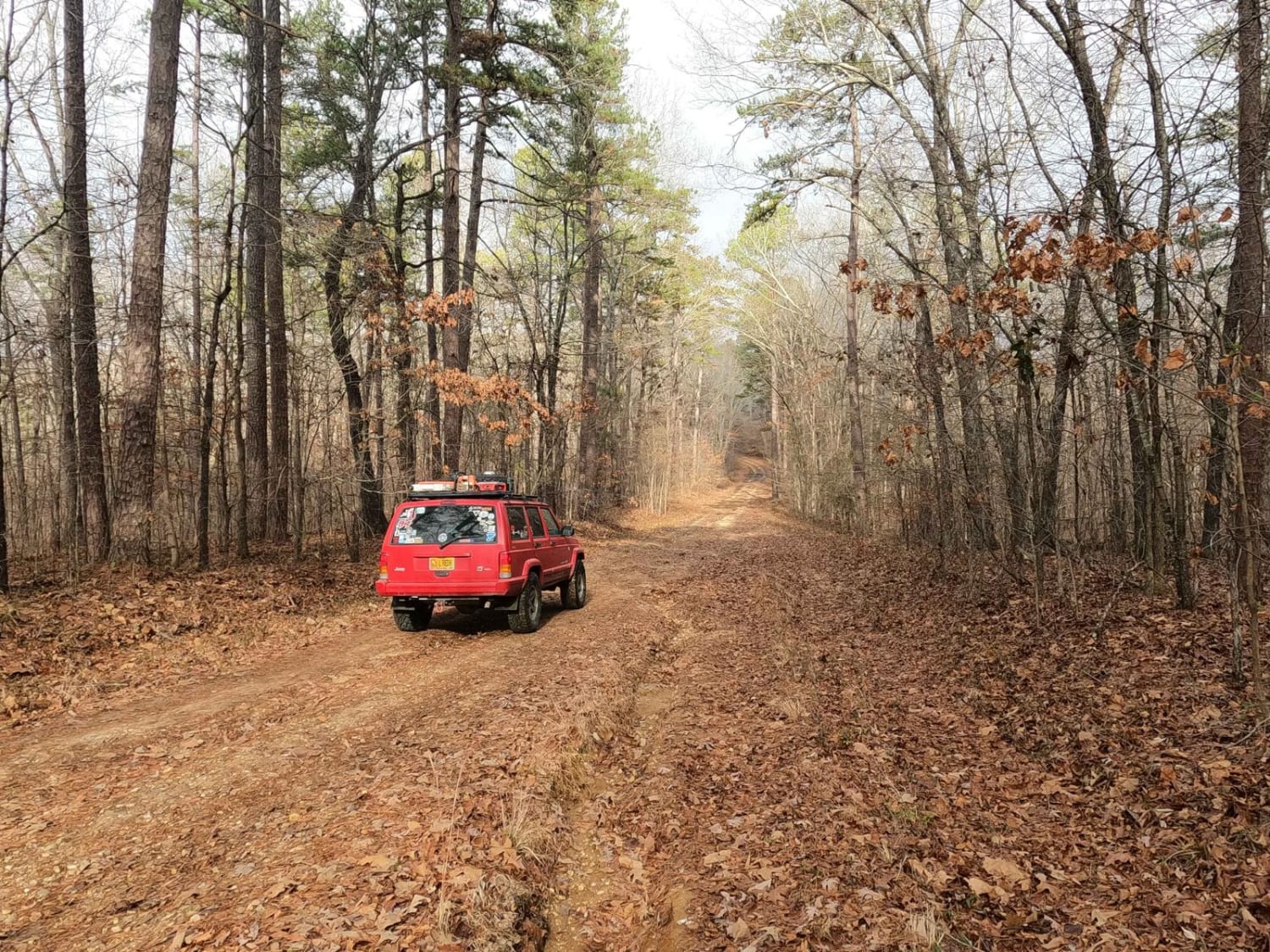
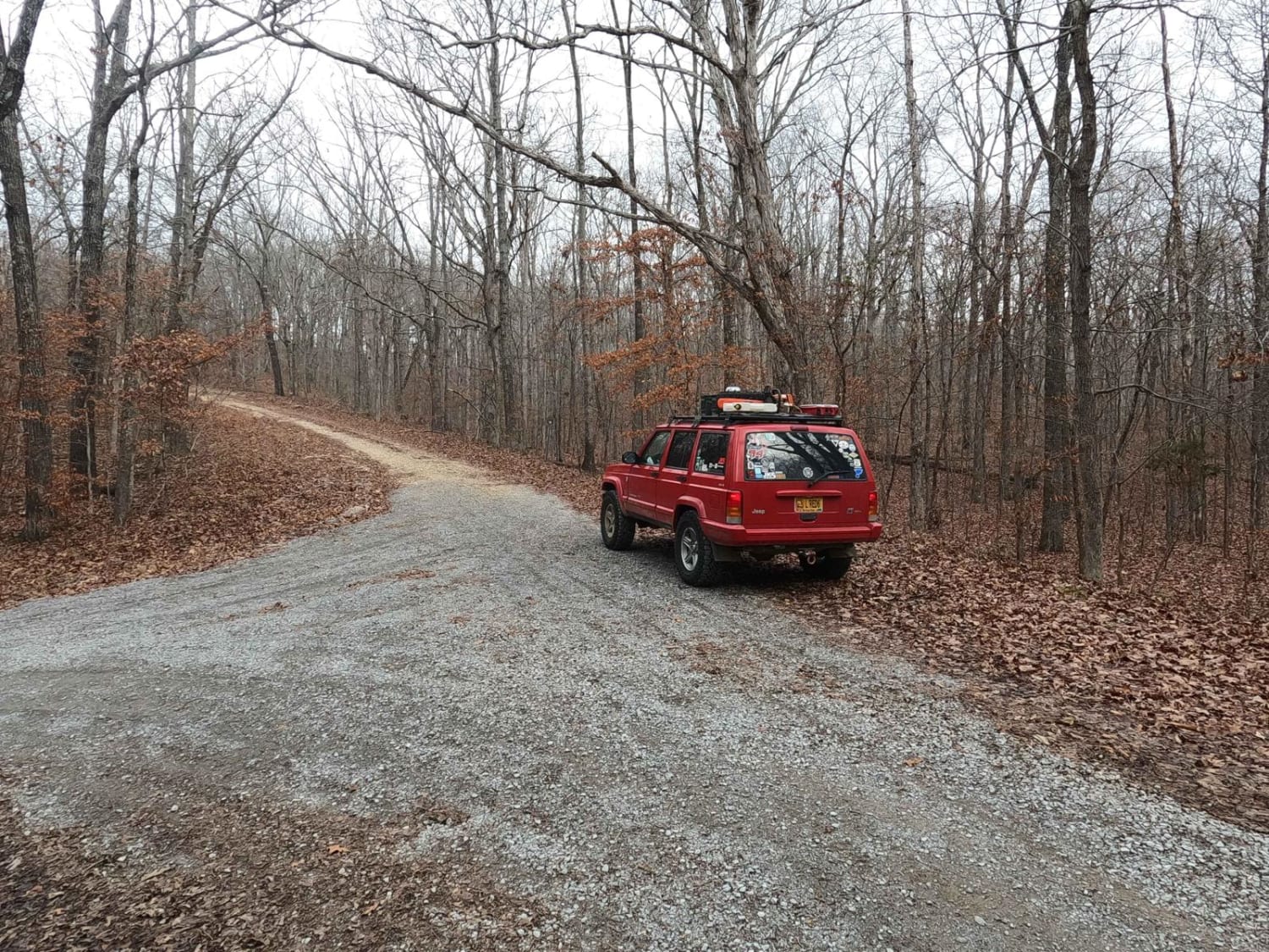
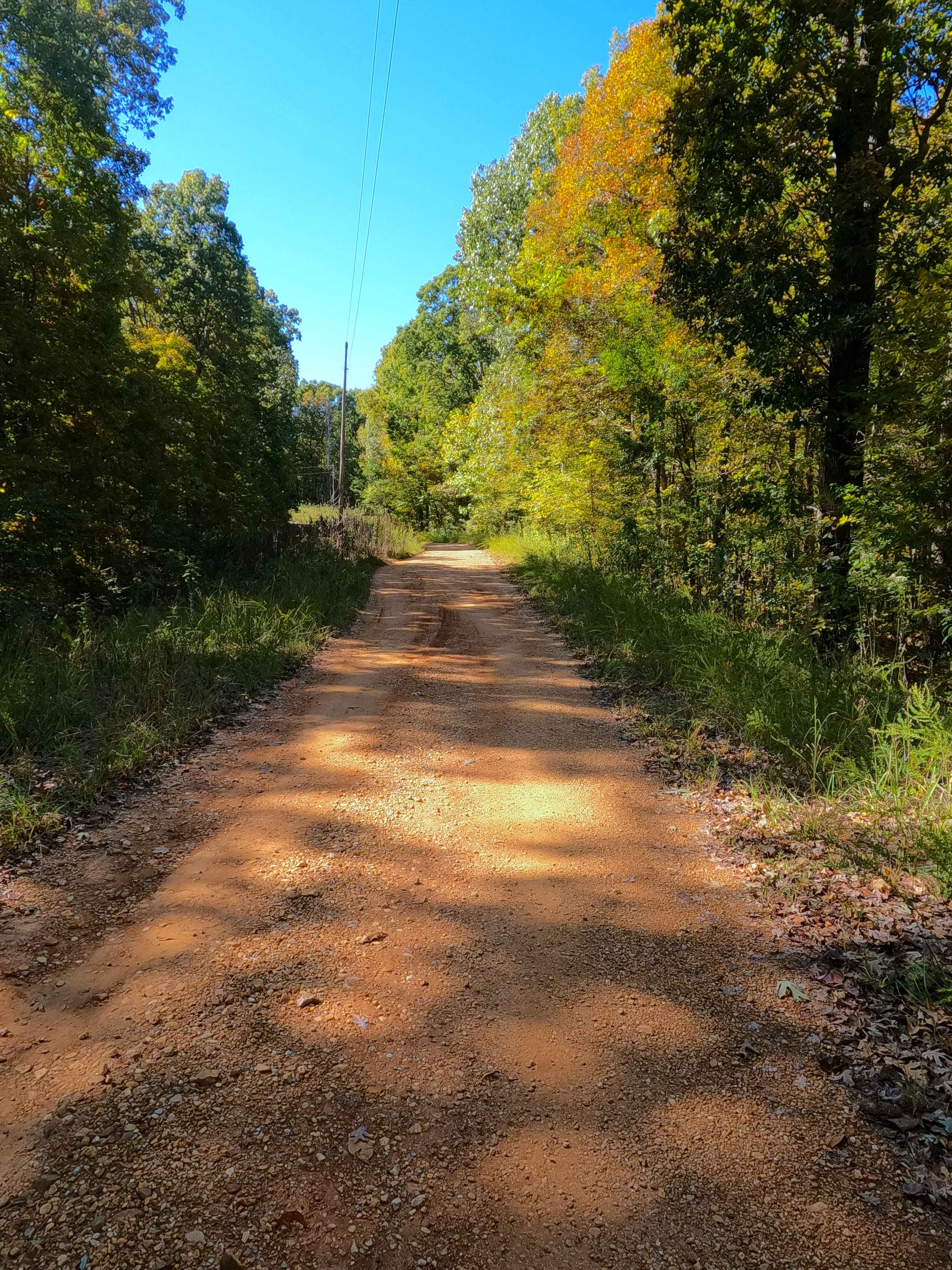
Trail Overview
Vickers Ridge Road FS 336 is a gravel forestry road through the center-west area of the Kentucky section, Kentucky Lake side, of the Land Between the Lakes National Recreation Area. Vickers Ridge is relatively short and mild. If looking for a quick warm-up trail to hit after crossing US-68 into the center LBL area, this is a great place to start, especially after or alongside a trip to the Bison Range. The road generally is an easy gravel road cutting through the ridge top treelines, except on the small mild hill climbs where the gravel transitions to coarse natural gravel and small cobbles interlaced with small erosion ruts. While in the valleys of the rolling hills, expect minimal hard-bottomed water collection spots and gravel fading to dirt soft spots formed on the road surface. Overall, it's a great intro trail for a day exploring at LBL.
Photos of Vickers Ridge Road - FS 336
Difficulty
Vickers Ridge is simple, just enough to get your rockers dirty and wet. For experienced drivers, you probably don't need 4WD with proper line choices, but if you like taking the fun lines, 4WD guarantees passage the first time. The road is given a low demanding 2/10 base rating for its 6- to 12-inch deep erosion ruts on the mild steep hills where loose coarse gravel and small 4- to 6-inch exposed cobble rocks are sparsely scattered. At the water collection spots, it is safe to expect less than 12-inch depth and hard bottoms, but if in doubt, walk and probe out the water spots. All this said difficulty can increase due to heavy use, inclement weather, and wet seasons. If the road was to be mended by being graded and resurfaced with fresh gravel, it would be back to a 1/10 standard.
Status Reports
Vickers Ridge Road - FS 336 can be accessed by the following ride types:
- High-Clearance 4x4
- SUV
Vickers Ridge Road - FS 336 Map
Popular Trails
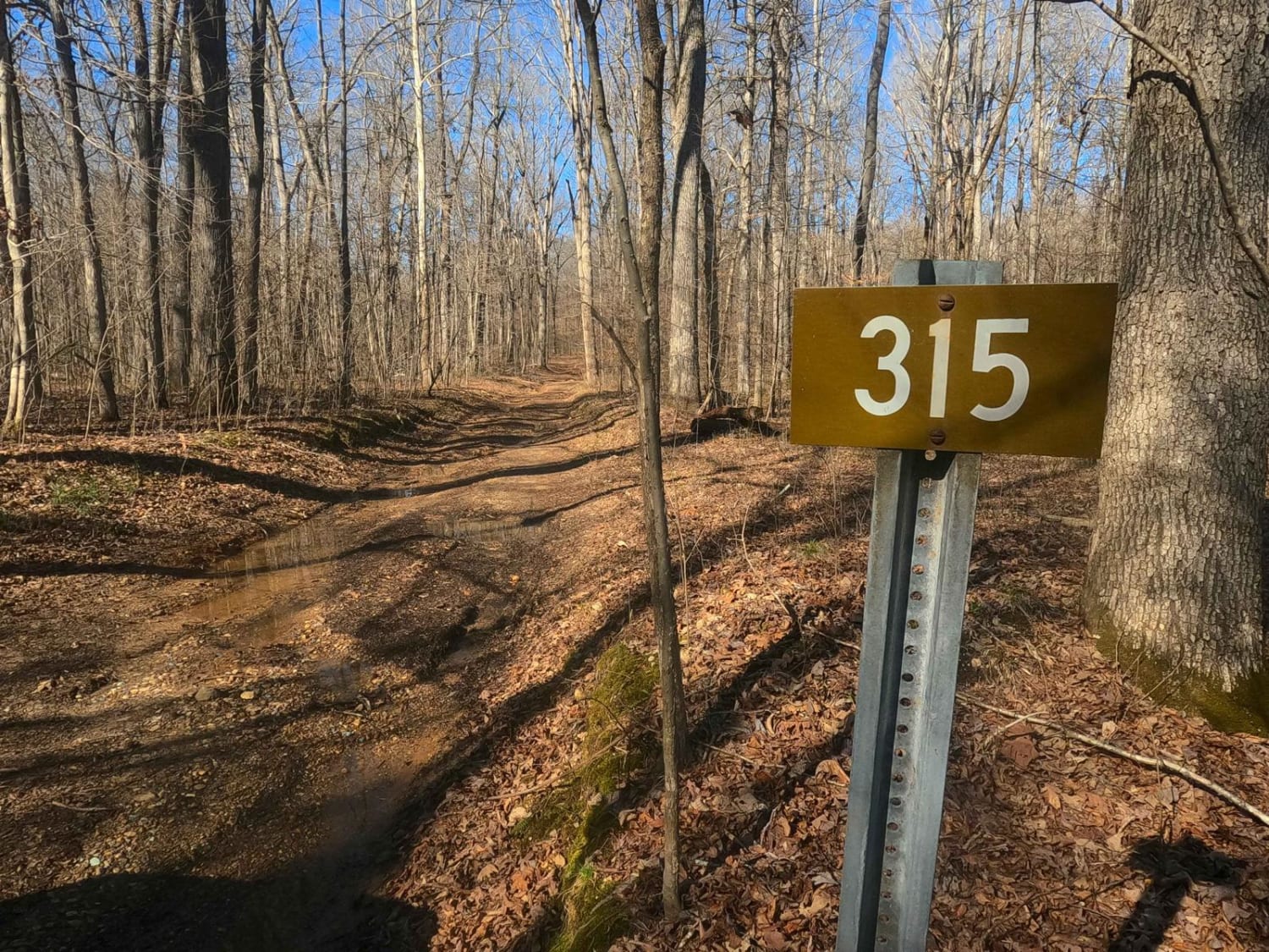
Fulton Furnace Road - FS 315
646A Straight Creek
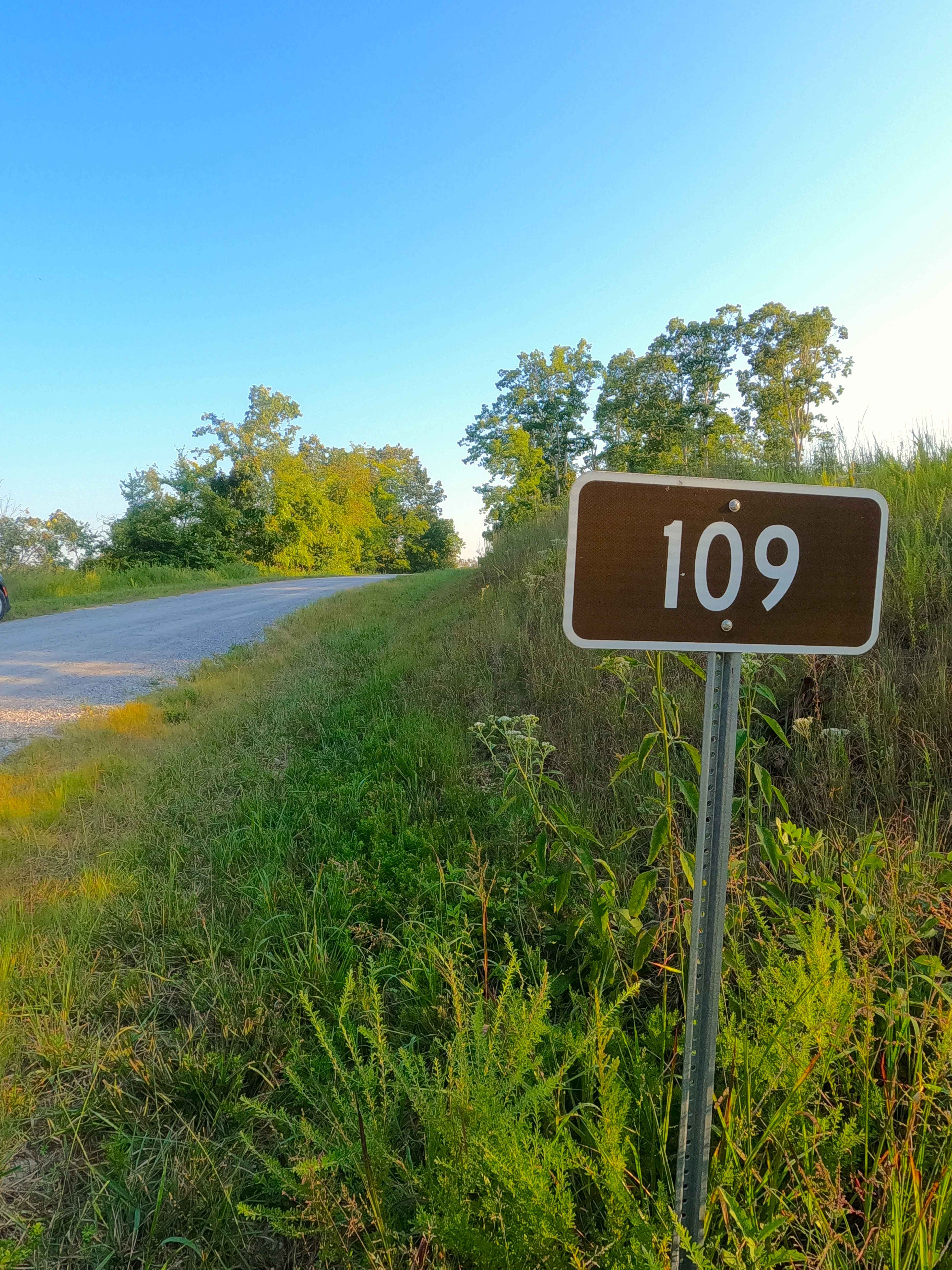
Willow Creek - FS 109
Shaw Branch - FS 154
The onX Offroad Difference
onX Offroad combines trail photos, descriptions, difficulty ratings, width restrictions, seasonality, and more in a user-friendly interface. Available on all devices, with offline access and full compatibility with CarPlay and Android Auto. Discover what you’re missing today!