Kisatchie Falls
Total Miles
3.4
Technical Rating
Best Time
Spring, Summer
Trail Type
Full-Width Road
Accessible By
Trail Overview
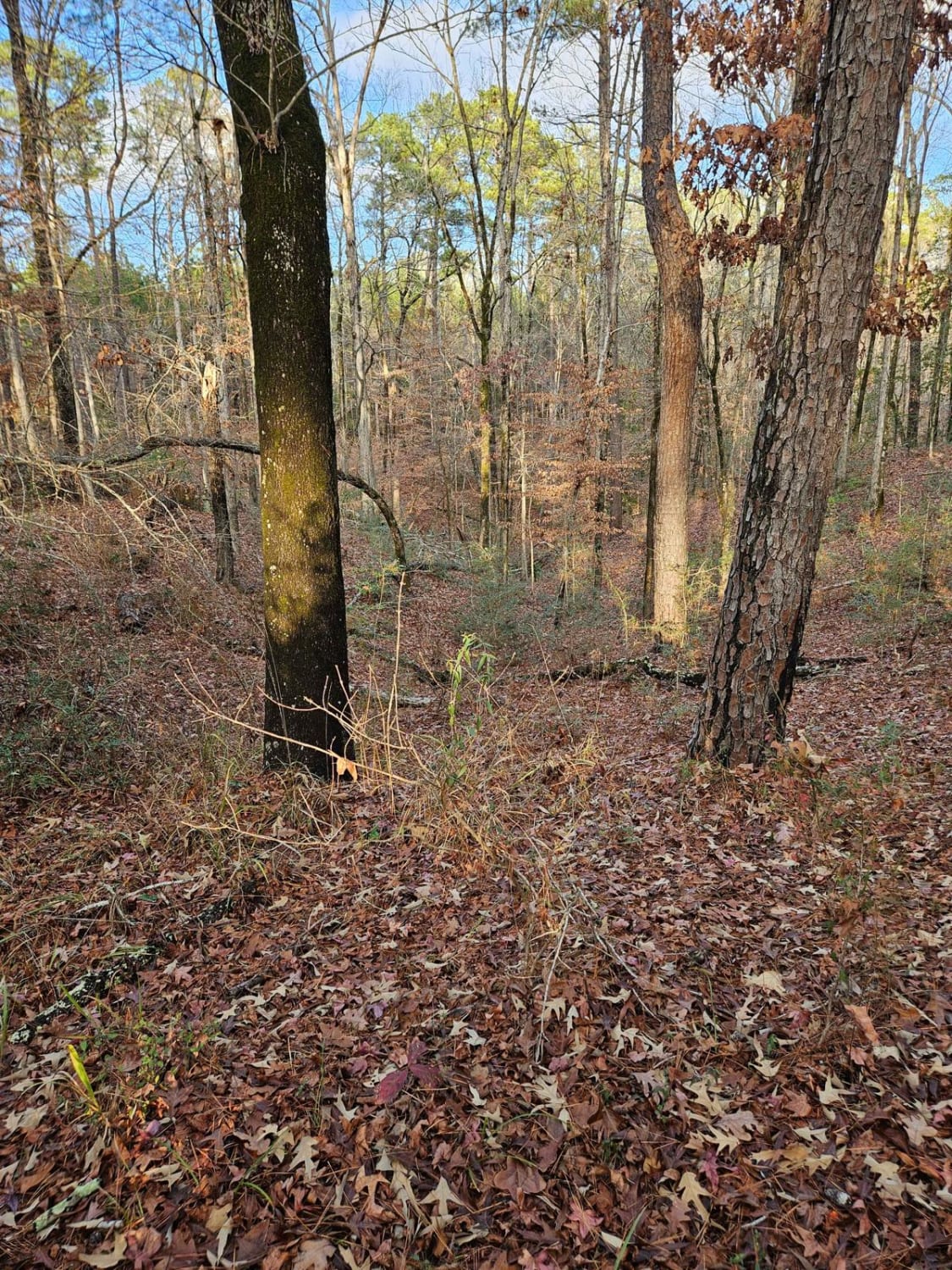
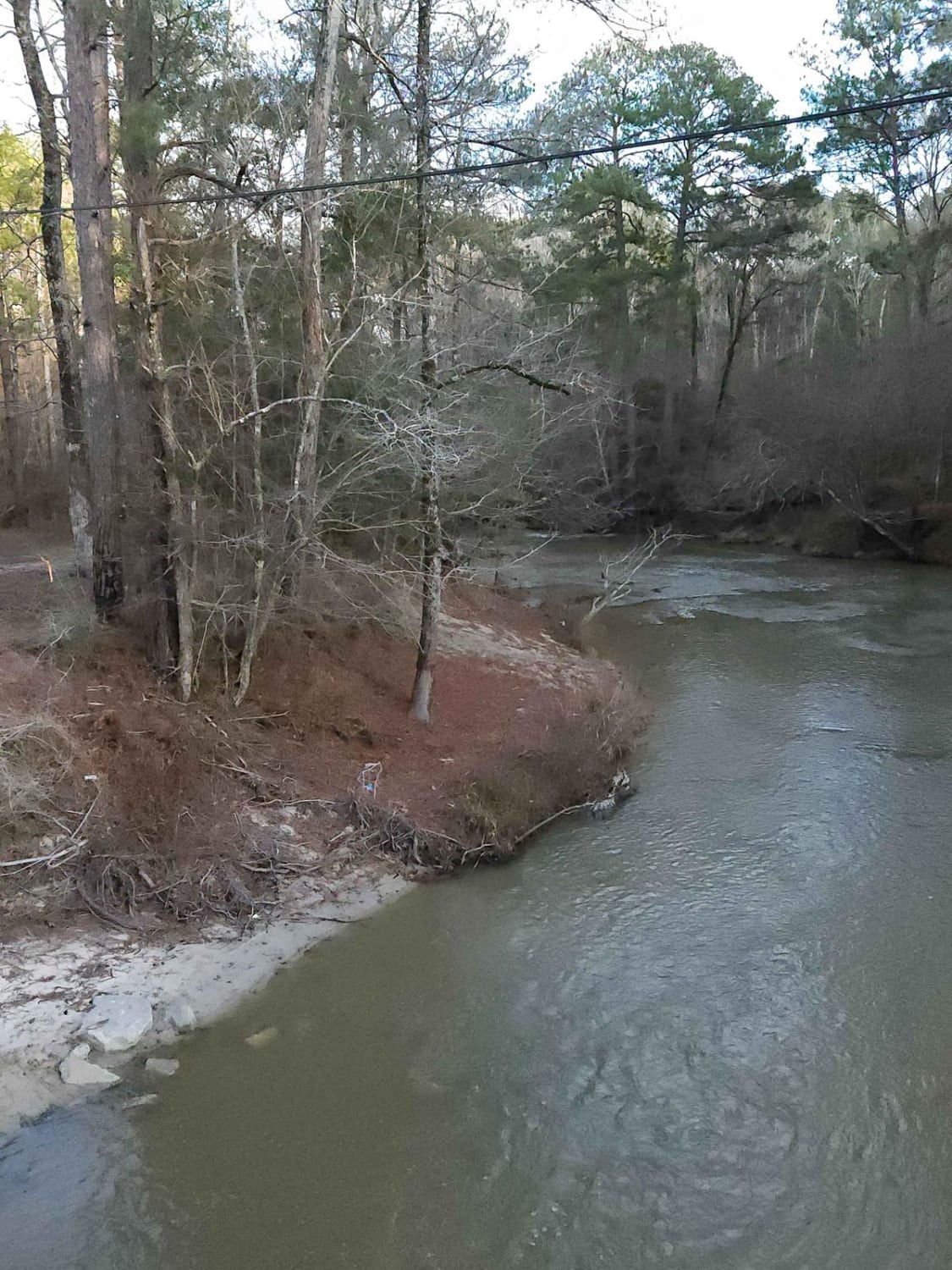
Starting from Highway 118, this trail starts on a gravel, maintained road, then turns to National Forest dirt road. The trail travels through both private and National Forest land, so be sure to follow all posted signs. The trail offers a few places to camp along Kisatchie Bayou with sandbars and fishing also available. The trail is easy and can be done by 2WD vehicles but can become muddy during heavy rains. The trail is a point-to-point trail ending at Par Road 350, "Bayou" Road in Kisatchie National Forest.
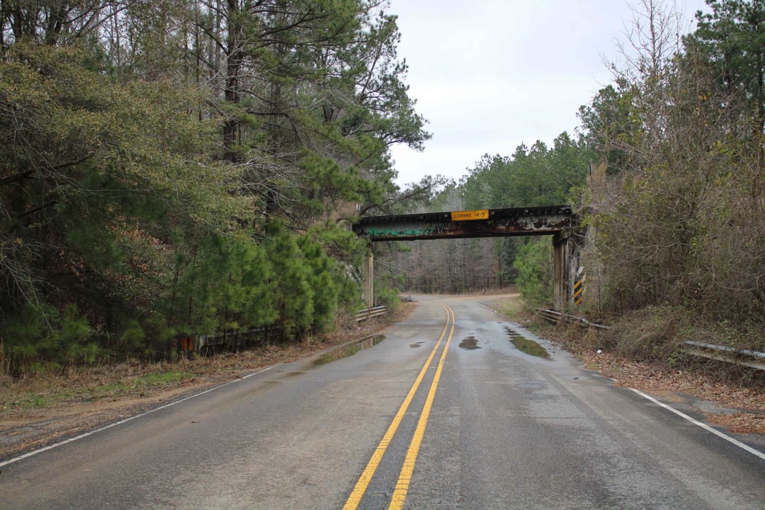
Photos of Kisatchie Falls
Difficulty
This two-lane road starts as gravel but turns to dirt. It might become messy after a large rain event.
Status Reports
Kisatchie Falls can be accessed by the following ride types:
- High-Clearance 4x4
- SUV
- SxS (60")
- ATV (50")
- Dirt Bike
Kisatchie Falls Map
Popular Trails
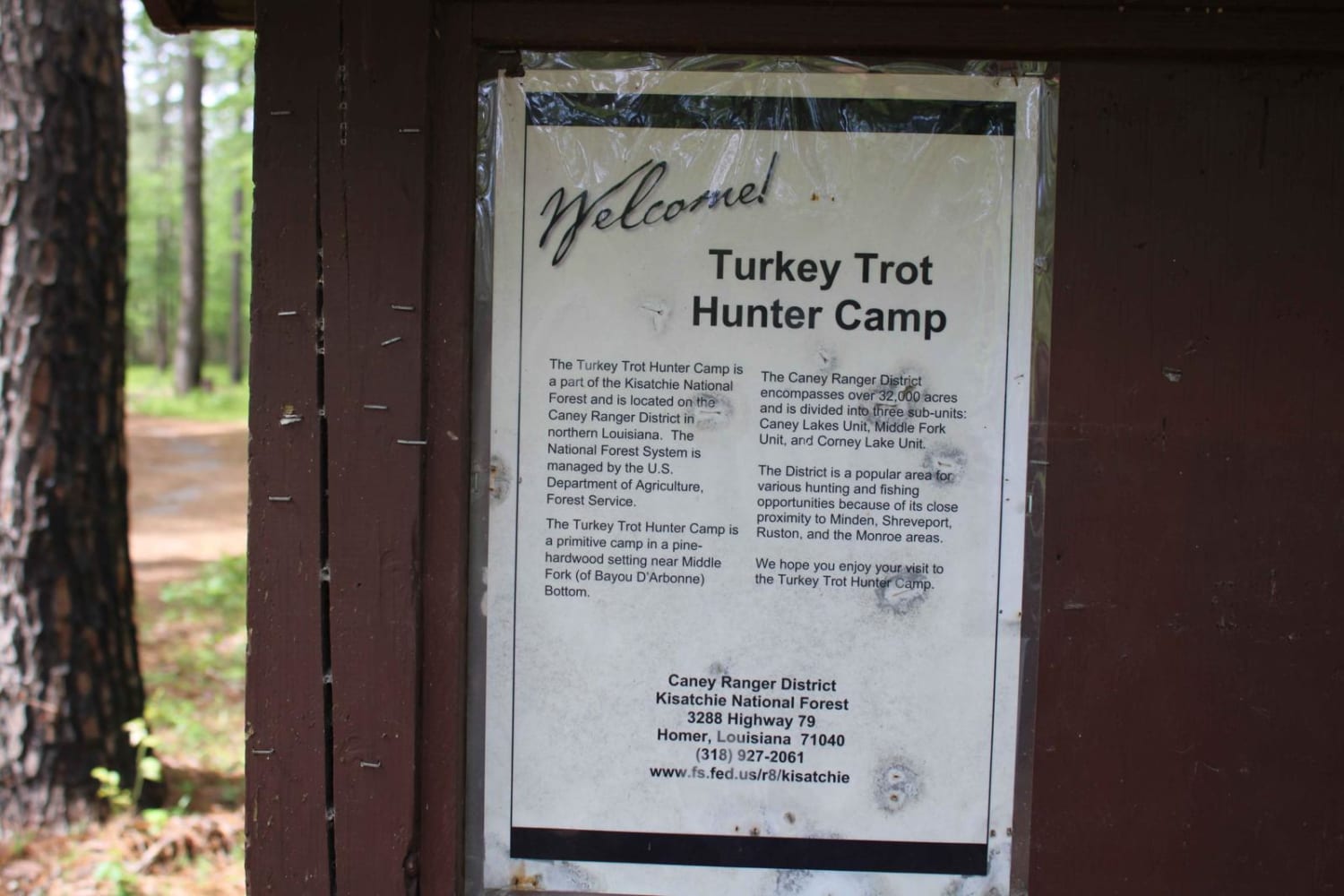
Turkey Trot in the Kisatchie
Claiborne "A" Loop
815 Road, Kisatchie NF
The onX Offroad Difference
onX Offroad combines trail photos, descriptions, difficulty ratings, width restrictions, seasonality, and more in a user-friendly interface. Available on all devices, with offline access and full compatibility with CarPlay and Android Auto. Discover what you’re missing today!
