Washington Mountain Road
Total Miles
3.6
Technical Rating
Best Time
Fall, Summer, Spring
Trail Type
Full-Width Road
Accessible By
Trail Overview
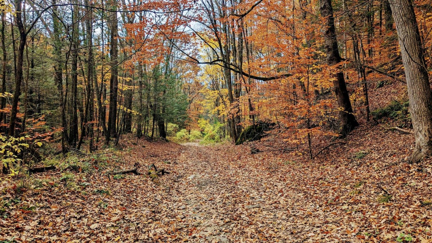
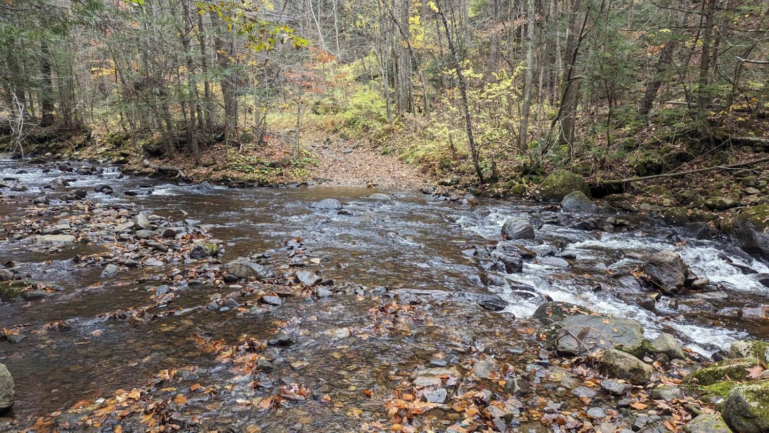
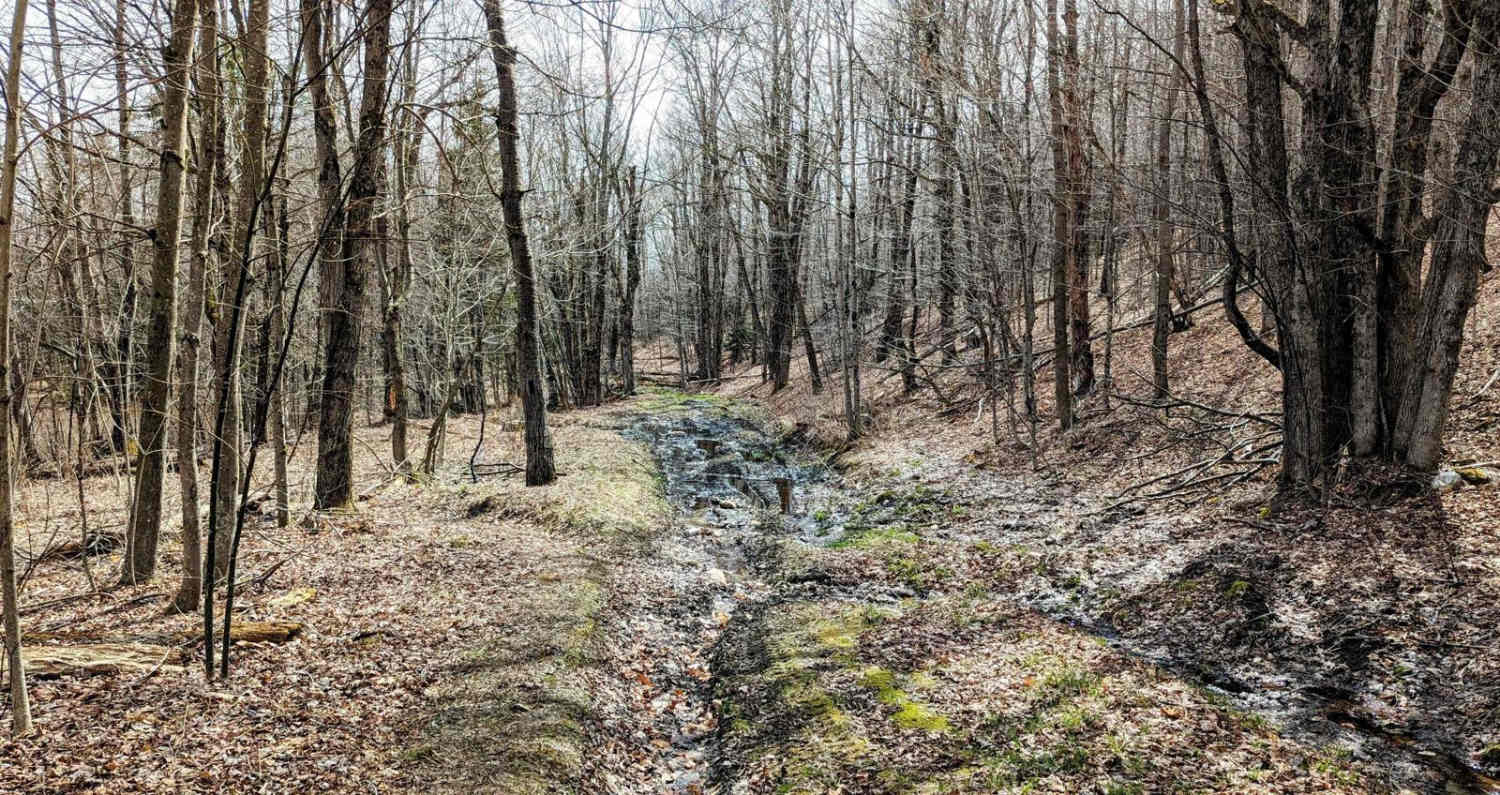
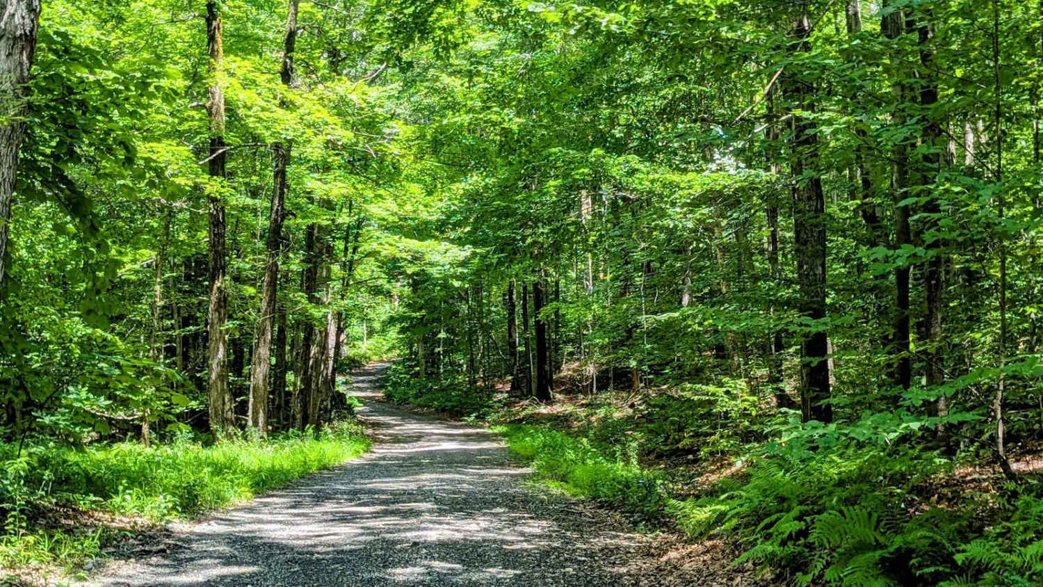
For fans of history's mysteries, this is a can't-miss trail. Hints of a once well-maintained way periodically peek out from beneath years of leaves and decay. However, don't let the fire hydrants and mile markers fool you; missing bridges and decades of erosion make this a moderately challenging trail. The western end of the road is the most challenging, with only two necessary water crossings and several small boulder fields to navigate. This trail also links up to several access roads and several other unmaintained town roads at October Mountain State Forest, so you can easily make a full day of wheeling. While this road is an unmaintained town road, it does exist entirely inside October Mountain State Forest, which limits access by closing gates from the last Sunday in November through May 1st.
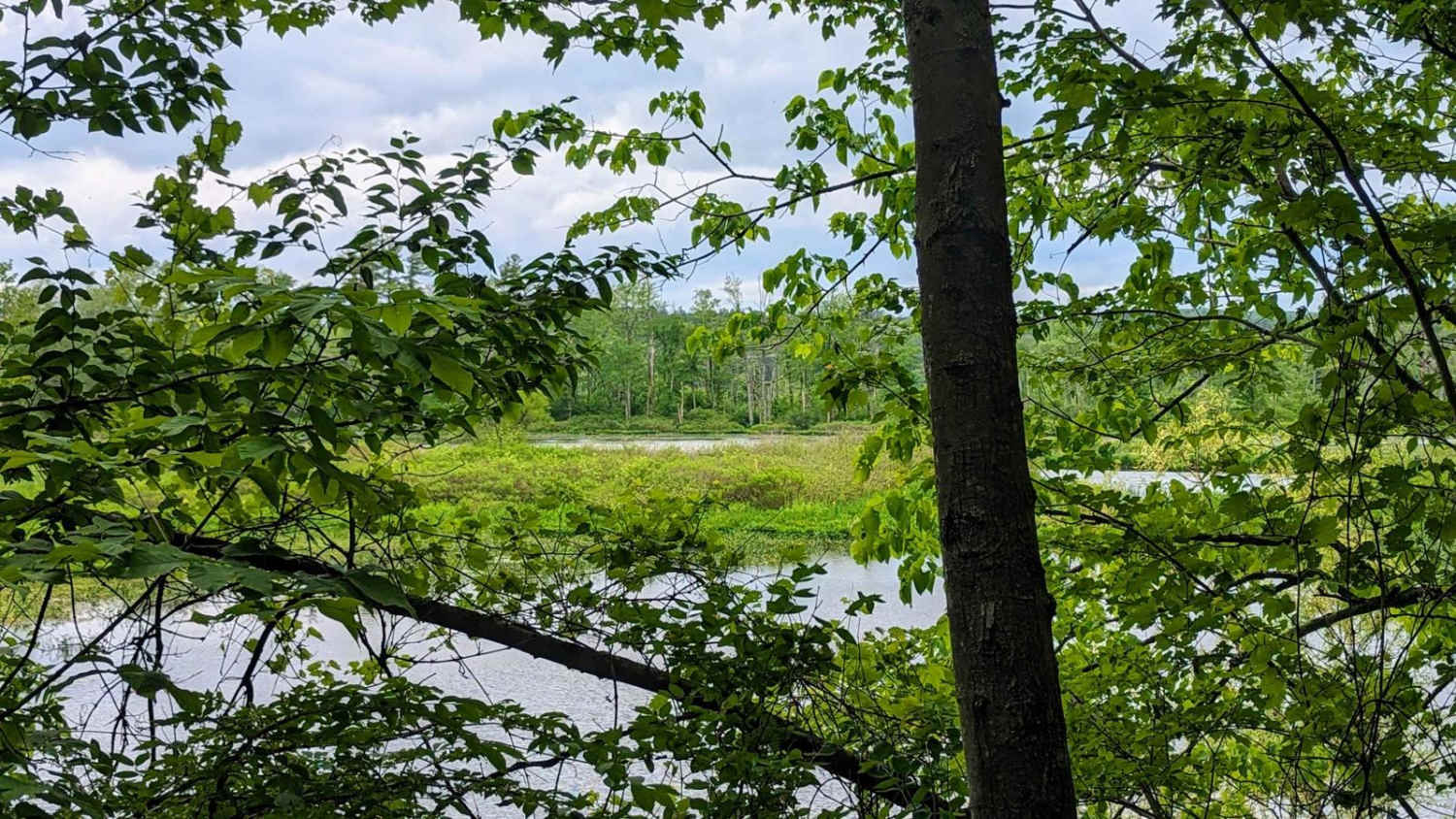
Photos of Washington Mountain Road
Difficulty
On the western end of the trail, several boulder fields and one of the water crossings with hidden deep holes and boulders make this an intermediate trail despite the relative ease of the eastern terminus.
History
This road connected the towns of Washington and Lenoxdale, Massachusetts, and skirted the hunting preserve of William C. Whitney, Secretary of the Navy under Grover Cleveland. Whitney imported many non-native animals to his game preserve including American bison, elk, and black-tailed deer.
Status Reports
Washington Mountain Road can be accessed by the following ride types:
- High-Clearance 4x4
- SUV
Washington Mountain Road Map
Popular Trails
Roaring Brook Road

Hallockville Road
The onX Offroad Difference
onX Offroad combines trail photos, descriptions, difficulty ratings, width restrictions, seasonality, and more in a user-friendly interface. Available on all devices, with offline access and full compatibility with CarPlay and Android Auto. Discover what you’re missing today!
