Candy Cane Lane - Trail 419
Total Miles
2.5
Technical Rating
Best Time
Fall
Trail Type
High-Clearance 4x4 Trail
Accessible By
Trail Overview
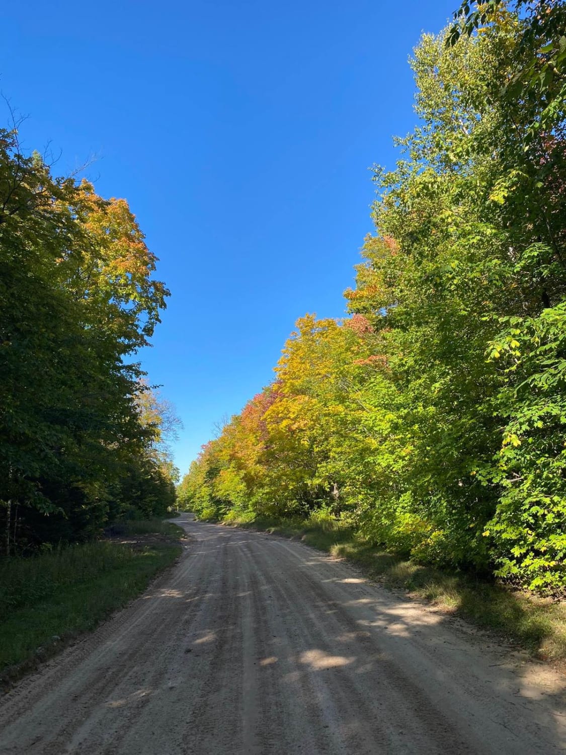
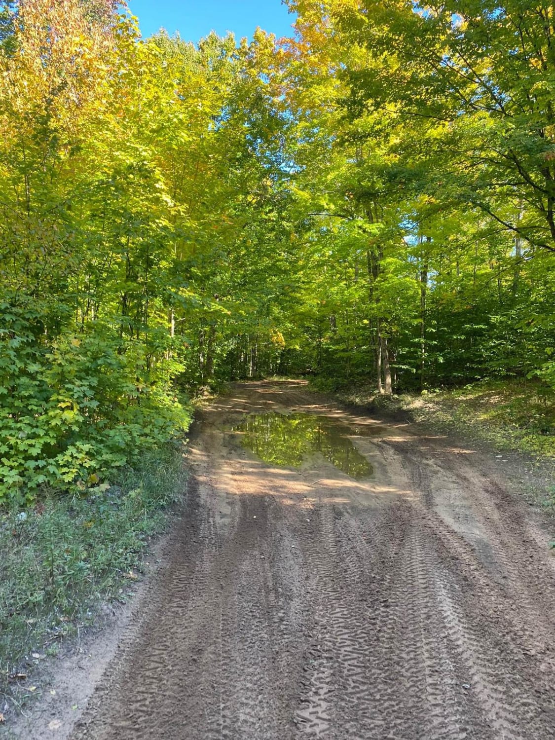
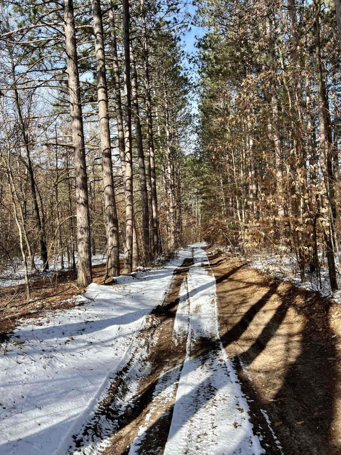
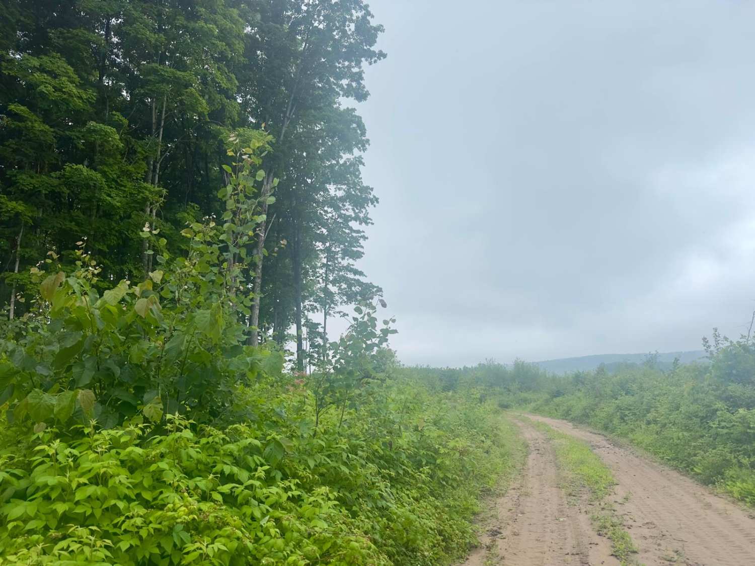
This trail starts at Candy Cane Lane to Perch Lake Road then you end up on Jasper Avenue. This trail will intersect with the Munising Loop. The trail also has a fun bonus a little Christmas Tree that has been decorated just at the edge of the trail. The tree does need a little upkeep. Such a great area to explore.
Photos of Candy Cane Lane - Trail 419
Difficulty
The trail is rated a 1 since it appears the road is in ok shape. The road is sandy with some wet areas.
Status Reports
Candy Cane Lane - Trail 419 can be accessed by the following ride types:
- High-Clearance 4x4
Candy Cane Lane - Trail 419 Map
Popular Trails

Back Country Route to Crisp Point Lighthouse
Gilford Ranch Trail
Harvey Road
The onX Offroad Difference
onX Offroad combines trail photos, descriptions, difficulty ratings, width restrictions, seasonality, and more in a user-friendly interface. Available on all devices, with offline access and full compatibility with CarPlay and Android Auto. Discover what you’re missing today!
