Back Country Route to Crisp Point Lighthouse
Total Miles
18.1
Technical Rating
Best Time
Spring, Summer, Fall, Winter
Trail Type
Full-Width Road
Accessible By
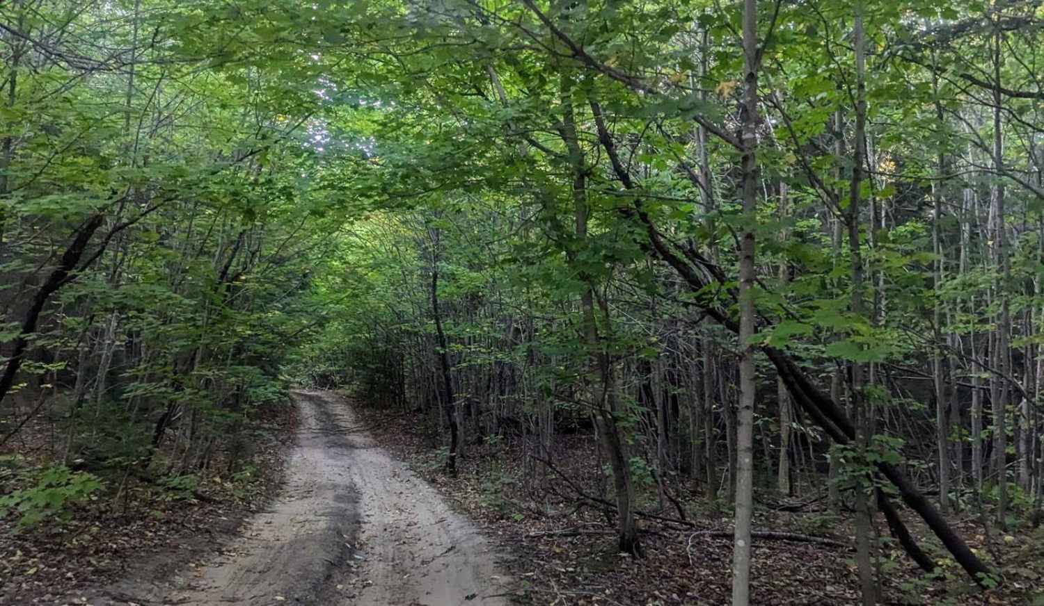
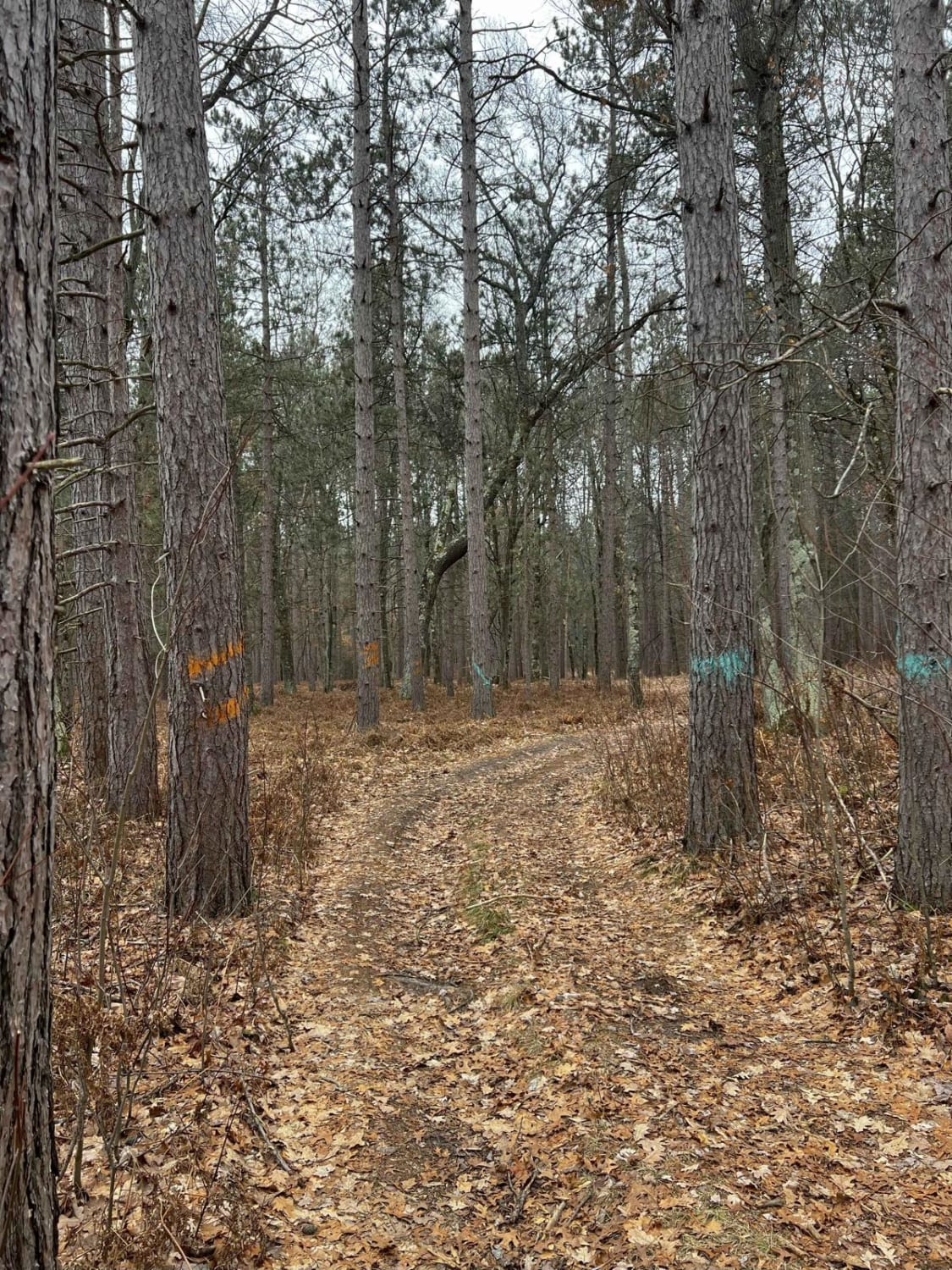
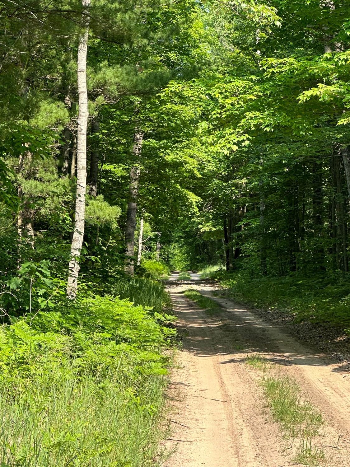
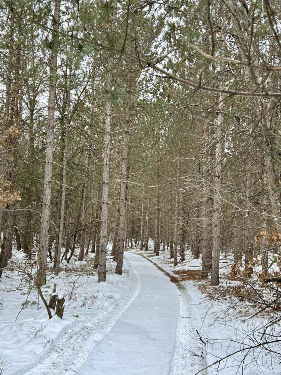
Trail Overview
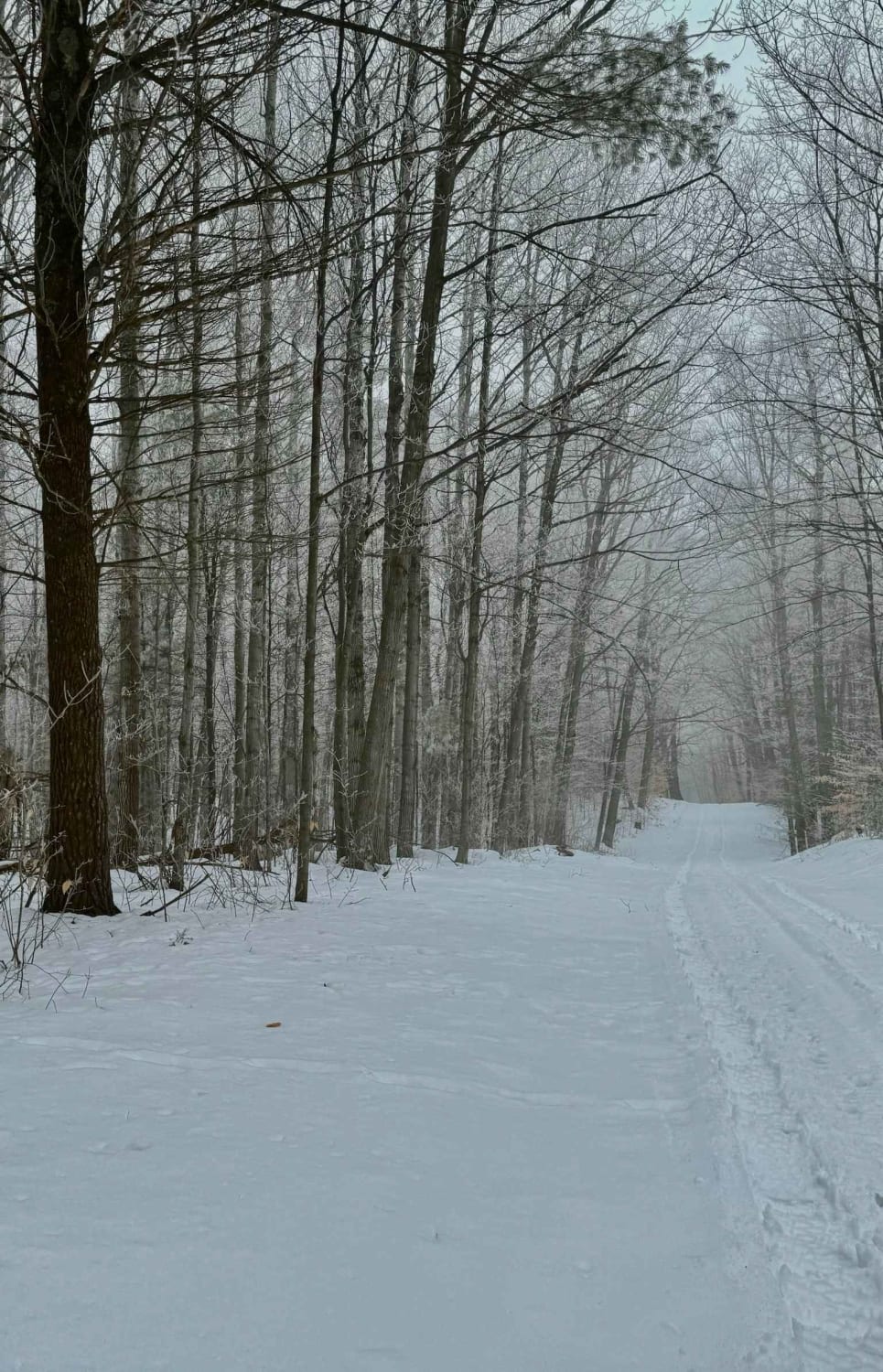
This is a less traveled route, used by ORVs, to get to the Crisp Point Lighthouse parking lot. The single lane winds through the woods and can be navigated easily by most vehicles. Watch out for occasional roots that cross the dirt track. There is limited cell service, so download maps before navigating. There are many places to pull off but tread lightly.
Photos of Back Country Route to Crisp Point Lighthouse

Difficulty
The trail may be more difficult in the winter but it is generally an easy-going trail with no difficult obstacles. There is limited cell service and trees overhead limit the view of the sky.
Status Reports

Popular Trails
South Hyland Road
The onX Offroad Difference
onX Offroad combines trail photos, descriptions, difficulty ratings, width restrictions, seasonality, and more in a user-friendly interface. Available on all devices, with offline access and full compatibility with CarPlay and Android Auto. Discover what you’re missing today!