South Hyland Road
Total Miles
1.1
Elevation
297.16 ft
Duration
0.5 Hours
Technical Rating
Best Time
Spring, Summer, Fall, Winter
Trail Overview
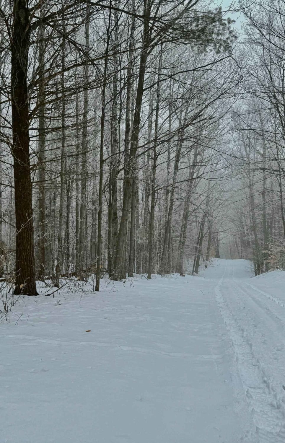
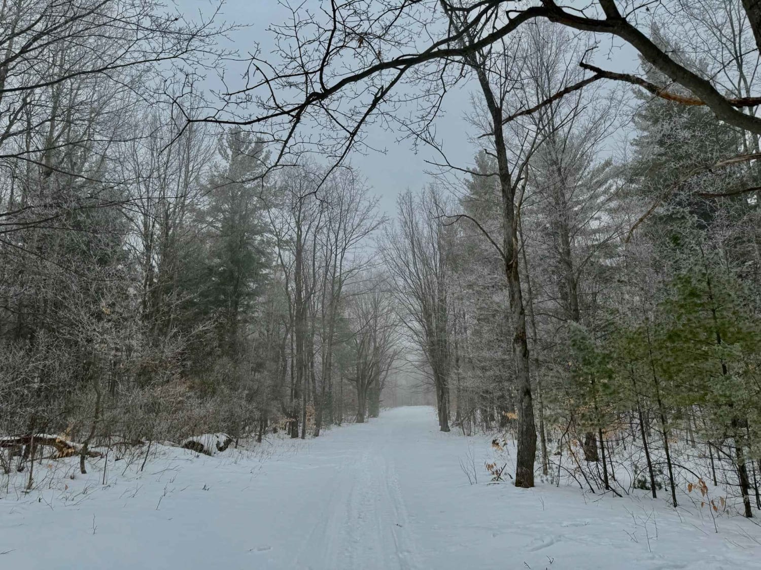
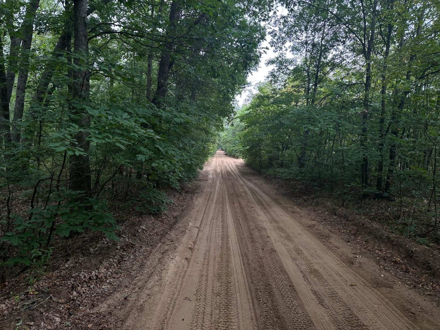
South Hyland Rd is a dirt/sand-based trail that runs east and west through Sleeping Bear Dunes National Lakeshore land. This route climbs 225 feet through dense beech/maple northern hardwood forest. Along the trail, there are great views of the hills and topography that this area is known for. Traveling from the west side, you will arrive via South Westman Road. From this direction, you will be traveling uphill until you reach West Darwin Road on the east end of the trail. The route doesn't have anything notable as far as obstacles, but the trail is steep and could be slippery with rain or snow.
Photos of South Hyland Road
Difficulty
The trail is unmaintained and is one-vehicle-wide in most places. The hill climb could pose a challenge for some, depending on recent snow or rain.
Status Reports
Popular Trails

Bad Influence
Kalkaska ORV Trail - North
Tomahawk Motorcycle C Loop
Allegan Sand Road-36th Street
The onX Offroad Difference
onX Offroad combines trail photos, descriptions, difficulty ratings, width restrictions, seasonality, and more in a user-friendly interface. Available on all devices, with offline access and full compatibility with CarPlay and Android Auto. Discover what you’re missing today!
