Evart Motorcycle Trail
Total Miles
21.6
Technical Rating
Best Time
Summer, Fall
Trail Type
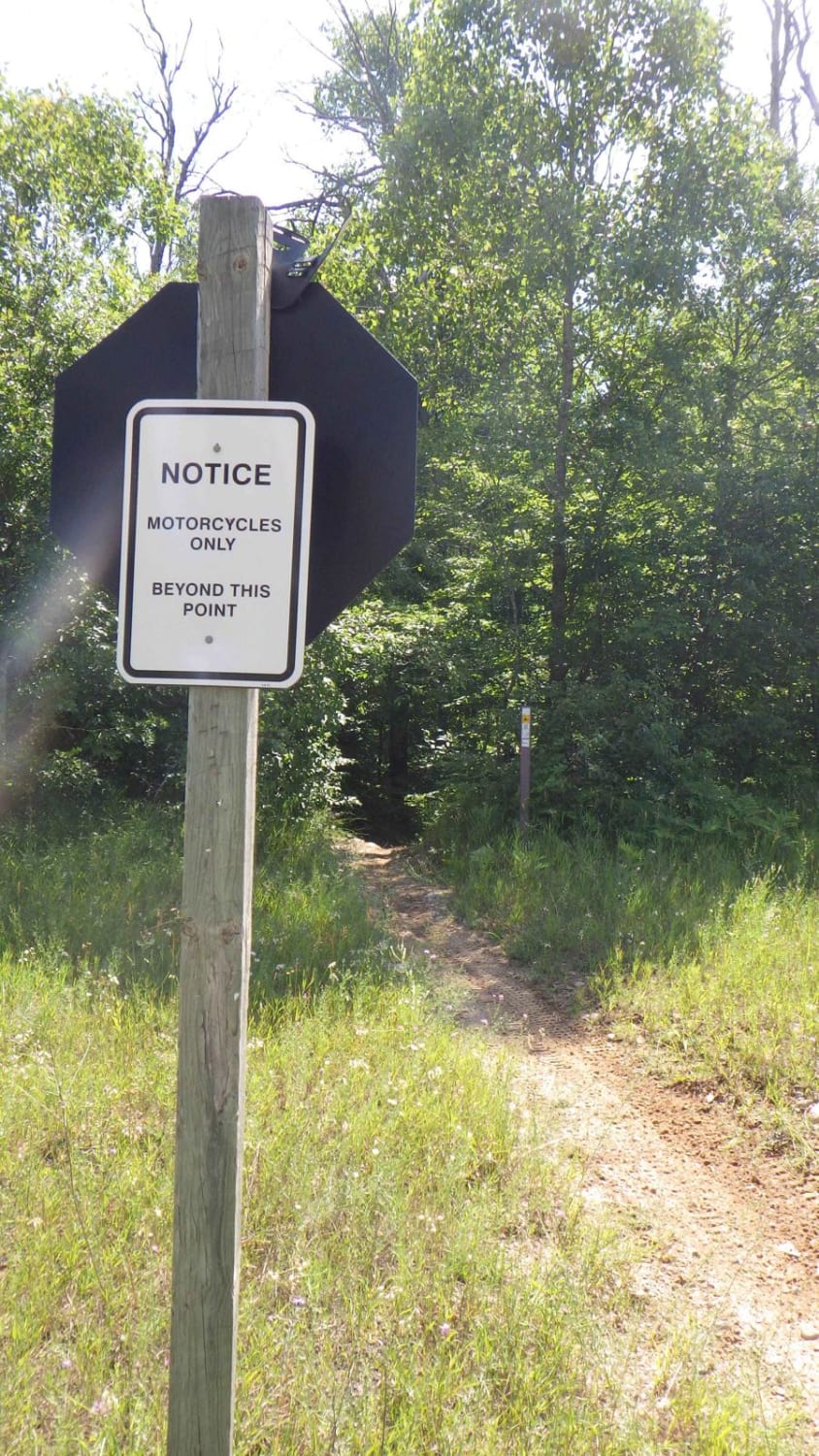
Single Track
Accessible By
Trail Overview
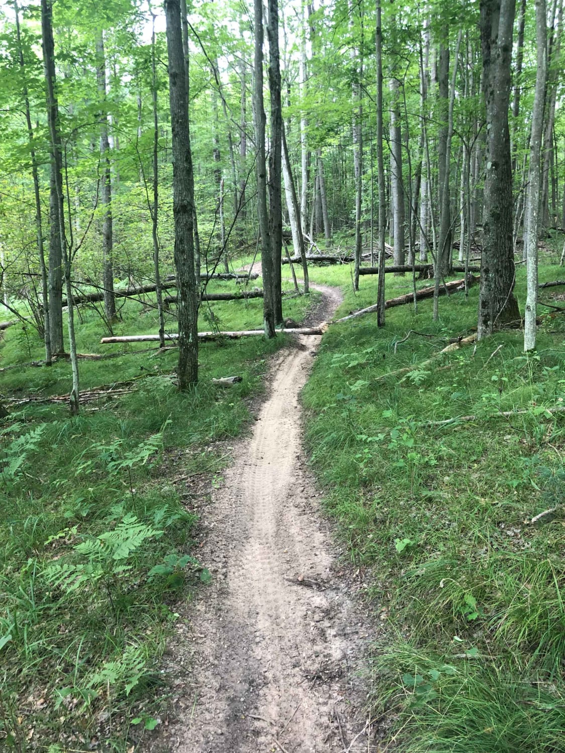
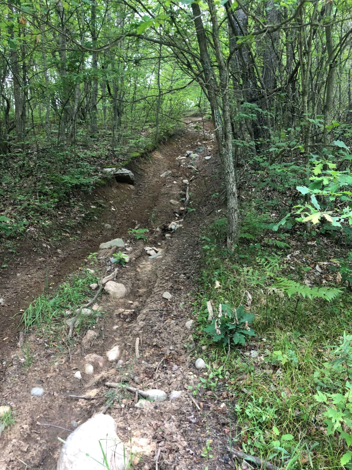
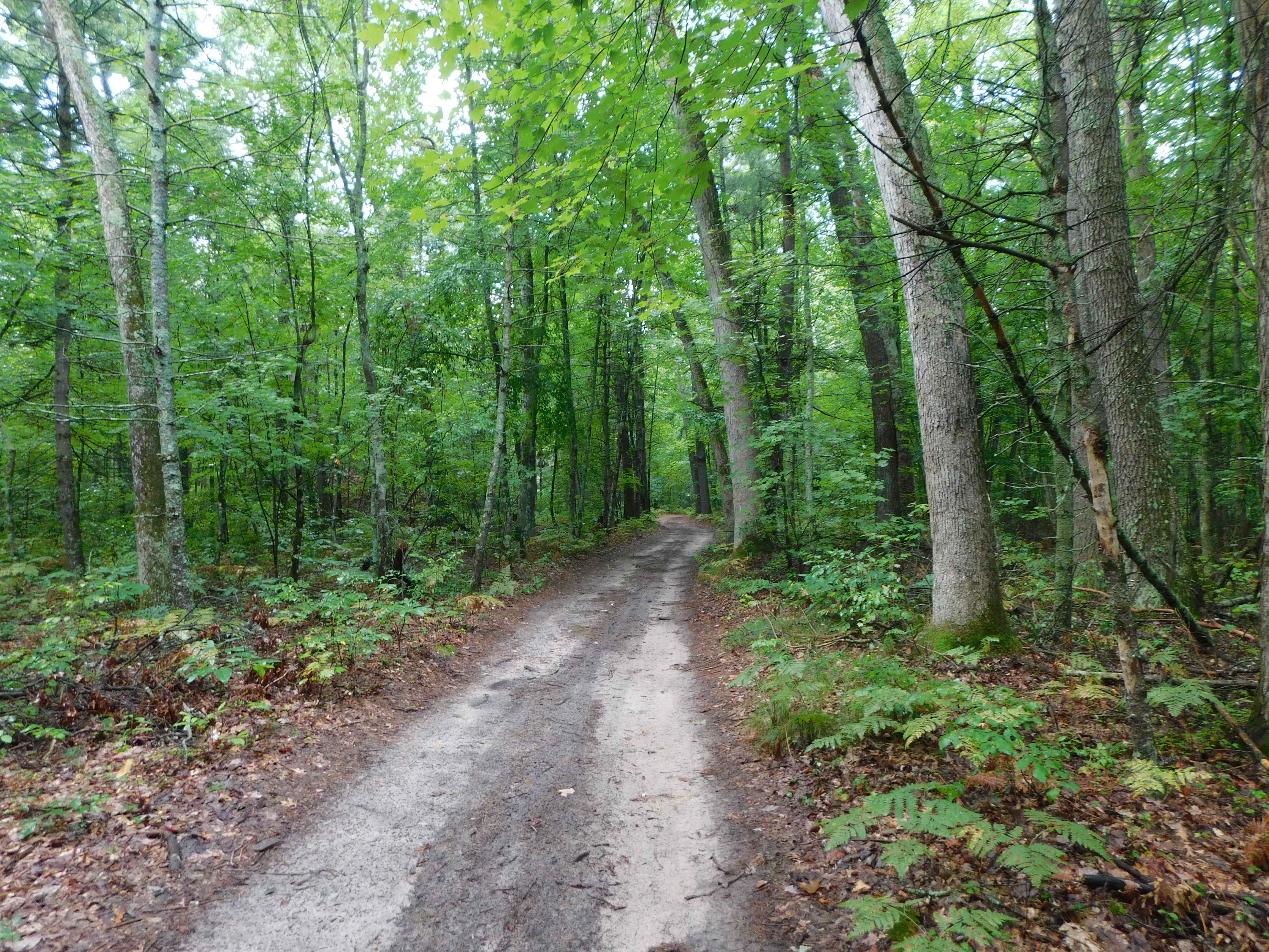
Evart Motorcycle Trail is located in the heart of Michigan's lower peninsula, just outside the small town of Evart. This trail runs a 22-mile North/South loop winding through a parcel of MI government land. Evart is often referred to by the Michigan dirt bike community as one of the most challenging trails in the lower peninsula. The trail boasts rocky hill climbs, sandy whoops, tight turns, and tree crossings are not uncommon. There is also a scramble area on the northern point of the trail that has several hill climb shoots of varying degrees of difficulty. When it rains, this trail is prone to have large mud holes that need to be carefully navigated. There are some areas of older clear-cut valleys and hills that open to some spectacular views. Cell service is spotty but can be found at places on the trail.
Photos of Evart Motorcycle Trail
Difficulty
This trail is almost a constant challenge. There are significant hills with rocks, roots, washouts, and tight trail boundaries. That being said, this is a great trail to stretch the skills of a rider. With enough determination and effort most riders with good bike control skills could complete this trail. It is suggested ride in a group of at least two so help can be given if needed.
Status Reports
Evart Motorcycle Trail can be accessed by the following ride types:
- Dirt Bike
Evart Motorcycle Trail Map
Popular Trails
Norway Ridge Trail
Linderman Road Forest Route
Hunt Creek West - MCCCT
The onX Offroad Difference
onX Offroad combines trail photos, descriptions, difficulty ratings, width restrictions, seasonality, and more in a user-friendly interface. Available on all devices, with offline access and full compatibility with CarPlay and Android Auto. Discover what you’re missing today!
