Leota High Banks
Total Miles
3.7
Technical Rating
Best Time
Summer, Fall
Trail Type
Full-Width Road
Accessible By
Trail Overview
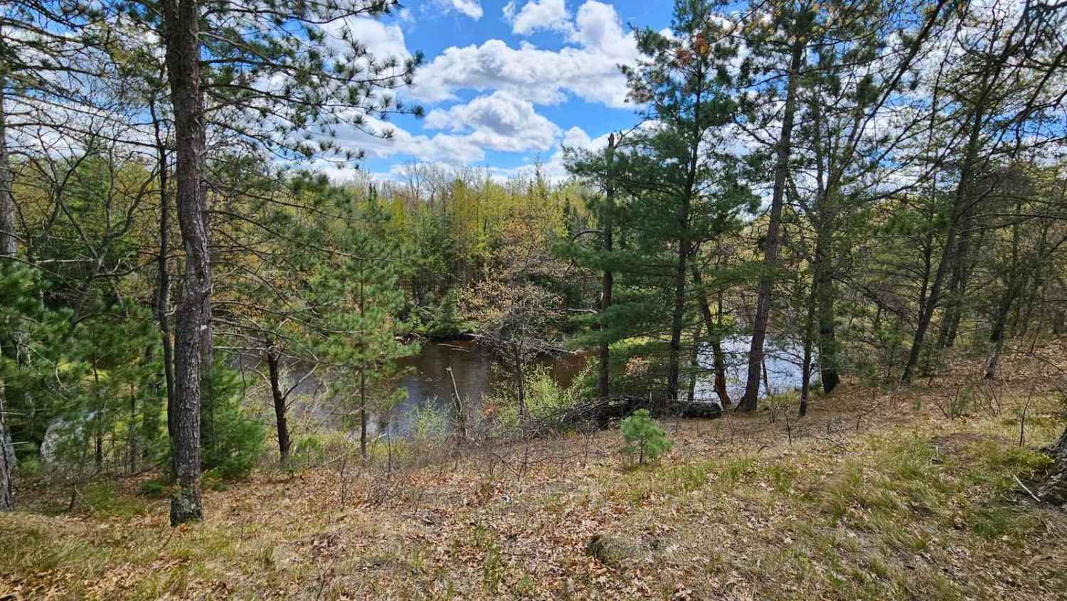
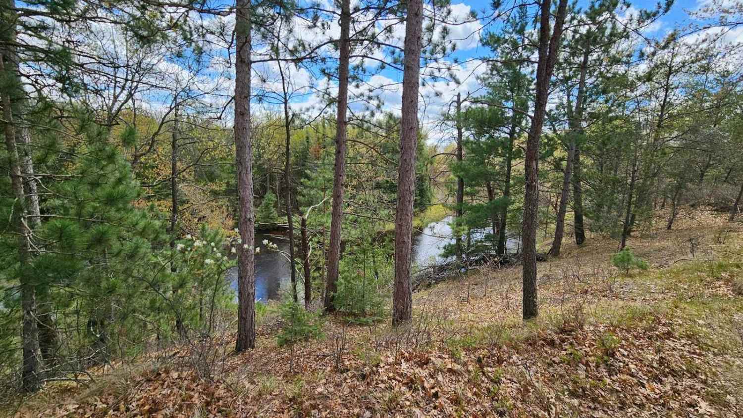
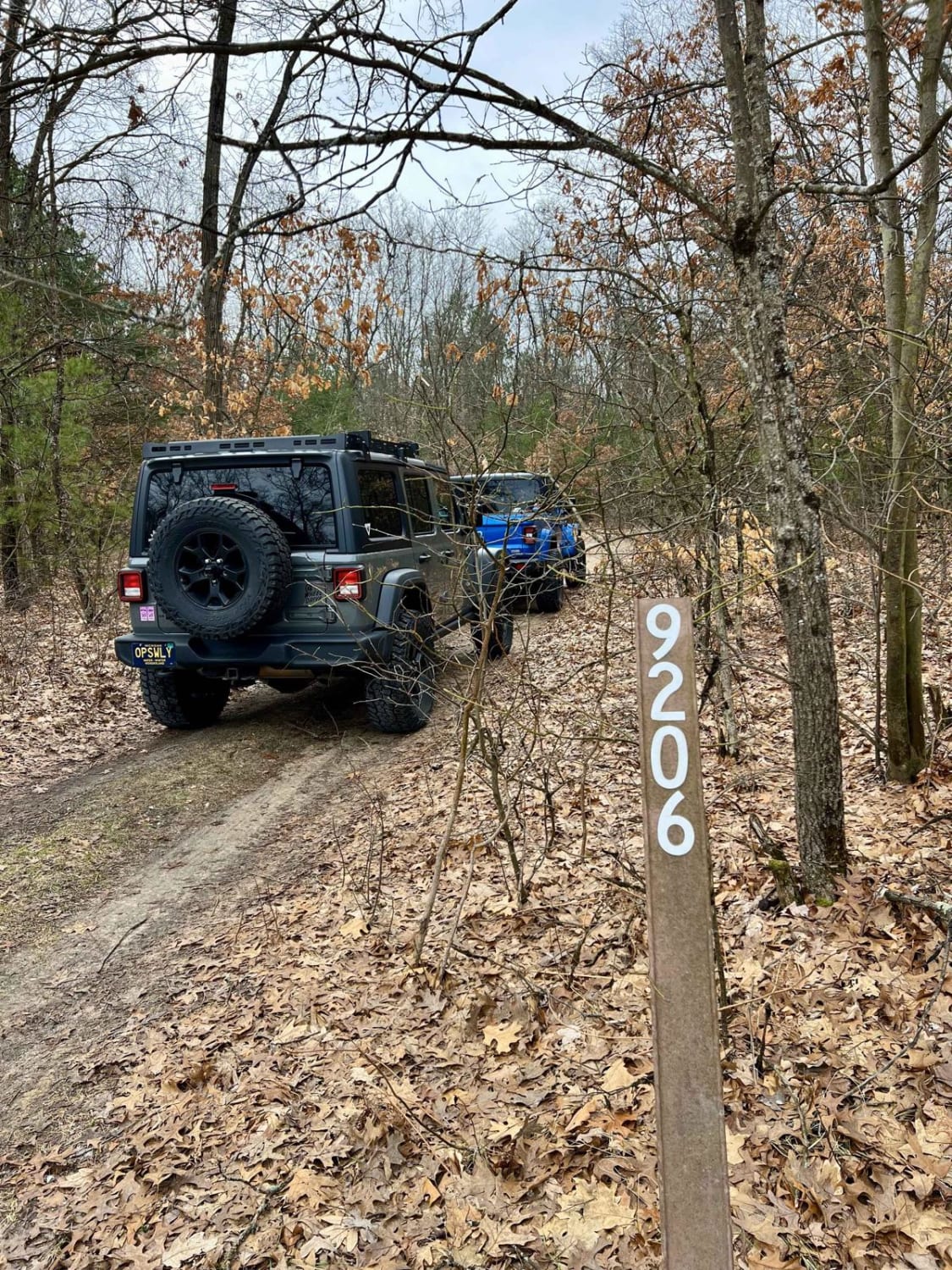
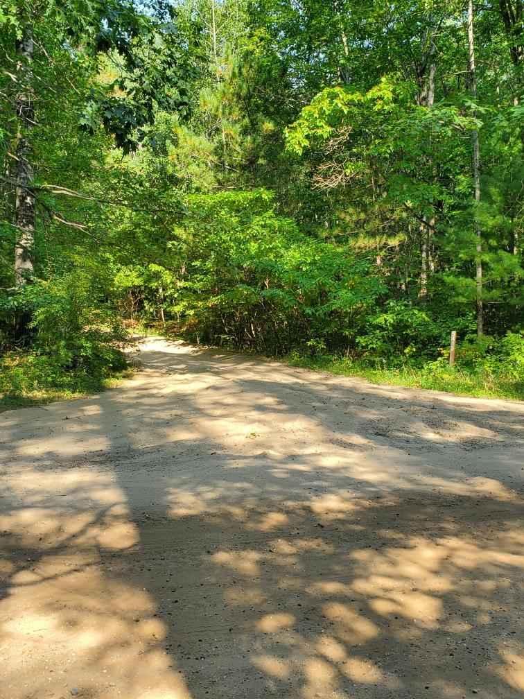
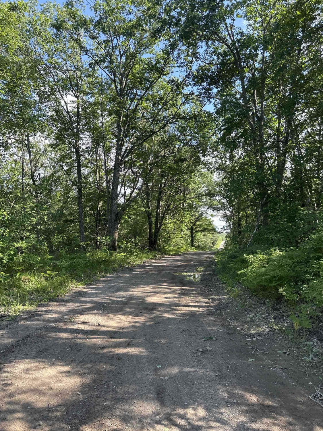
This is a direct line to the Leota High Banks on the north side of the Muskegon River. This will take you through a mix of recently forested and older-growth forest. Along the way, you will encounter mostly Forest Service roads that are easily passable with a high-clearance vehicle. The draw to this area is the Muskegon River itself. At the end of this trail, you will find 2 different areas for dispersed camping. It is an easy trail that gets you to a beautiful location.
Photos of Leota High Banks
Difficulty
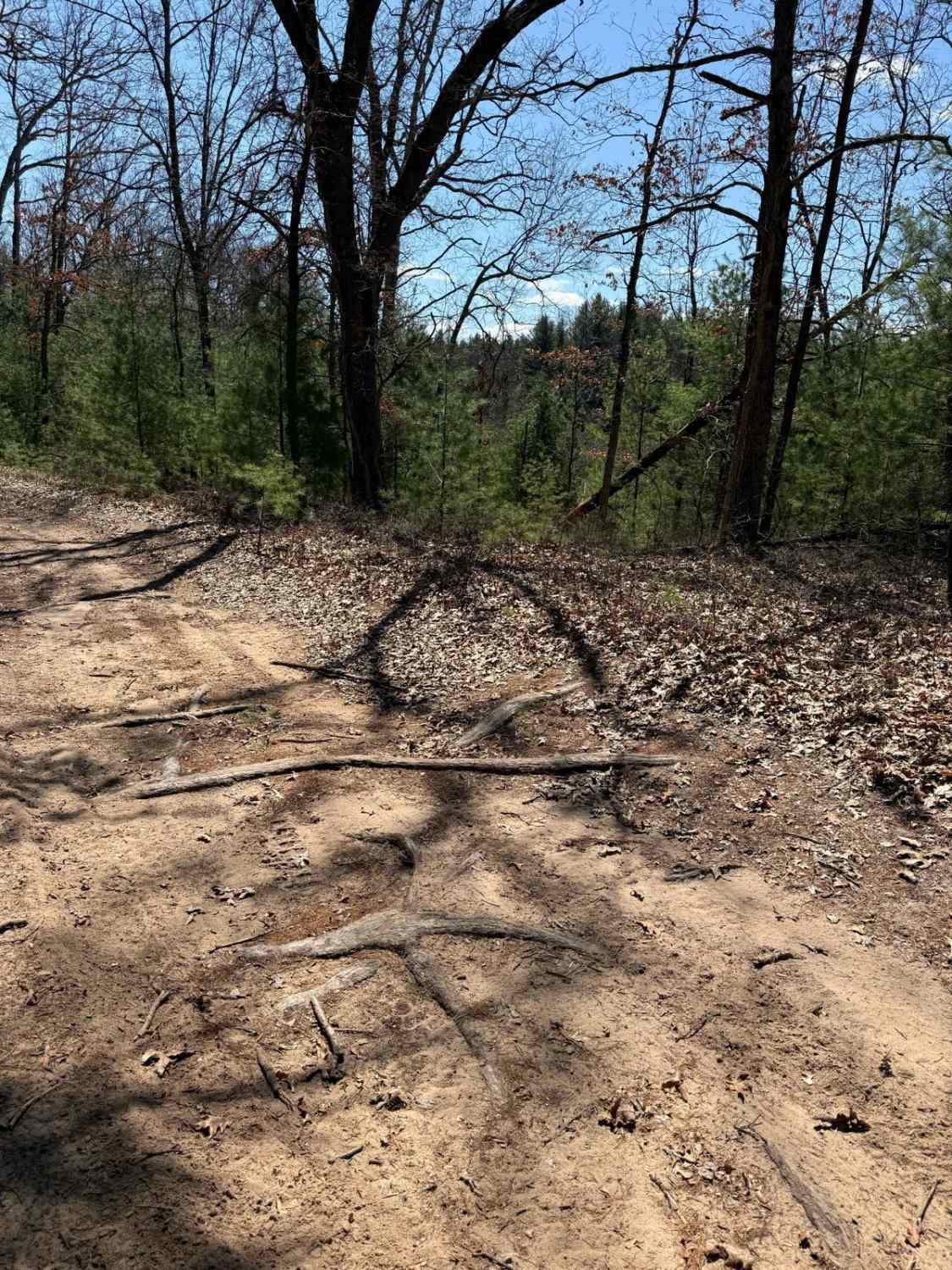
Expect mostly sandy conditions that may require 4WD if it is very dry. There are some holes along the way that may have water standing in them after a rain. There's nothing to be overly concerned about, though.
Leota High Banks can be accessed by the following ride types:
- High-Clearance 4x4
- SUV
- SxS (60")
- ATV (50")
- Dirt Bike
Leota High Banks Map
Popular Trails
The onX Offroad Difference
onX Offroad combines trail photos, descriptions, difficulty ratings, width restrictions, seasonality, and more in a user-friendly interface. Available on all devices, with offline access and full compatibility with CarPlay and Android Auto. Discover what you’re missing today!