Leota South River Route
Total Miles
7.1
Technical Rating
Best Time
Summer, Fall
Trail Type
Full-Width Road
Accessible By
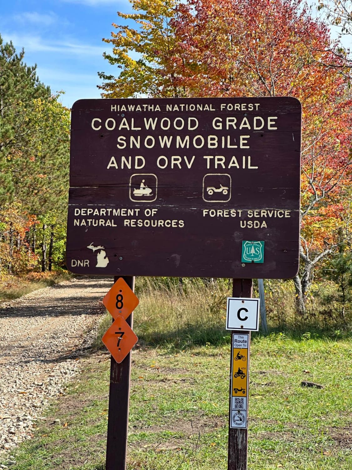
Trail Overview
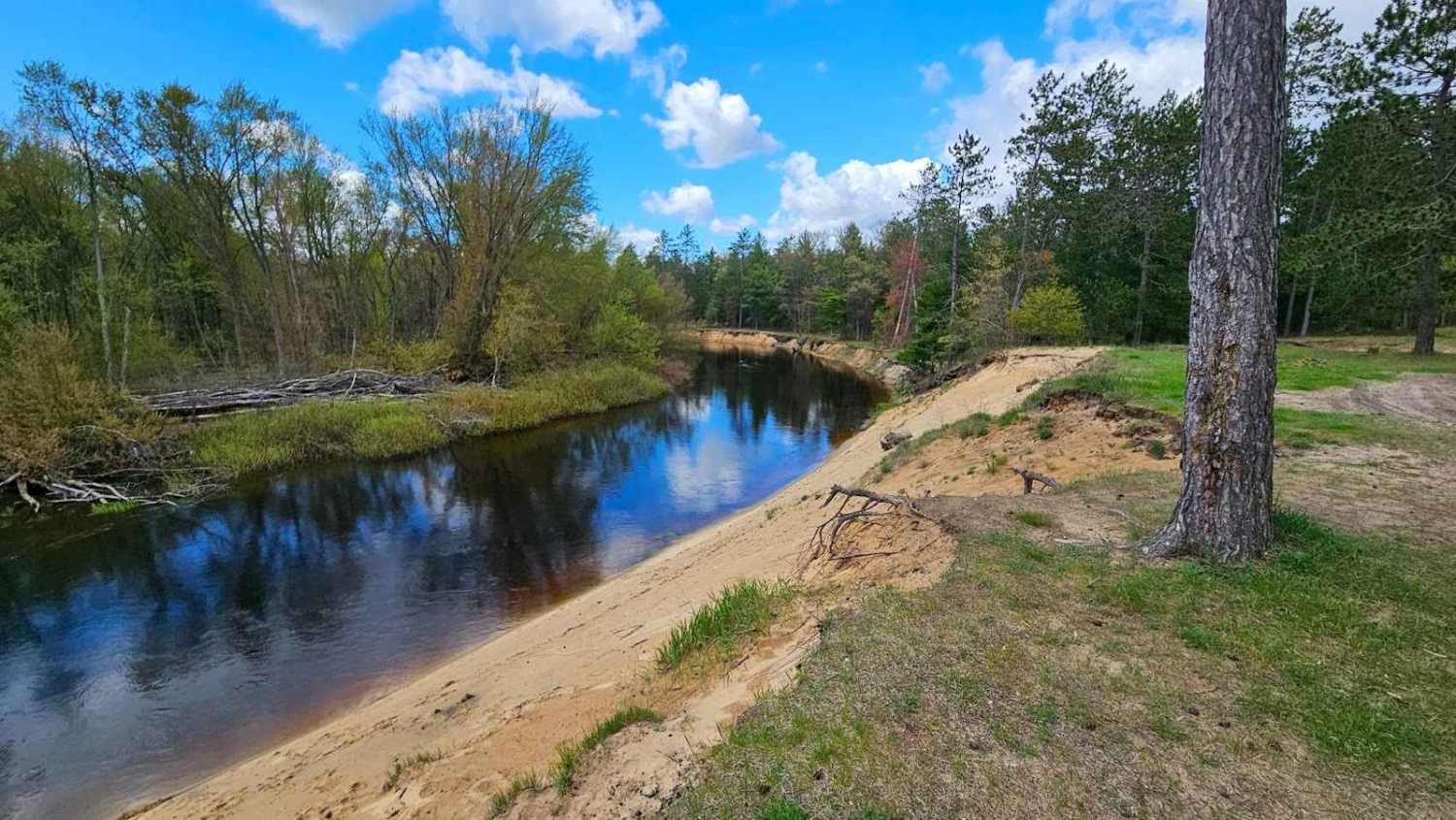
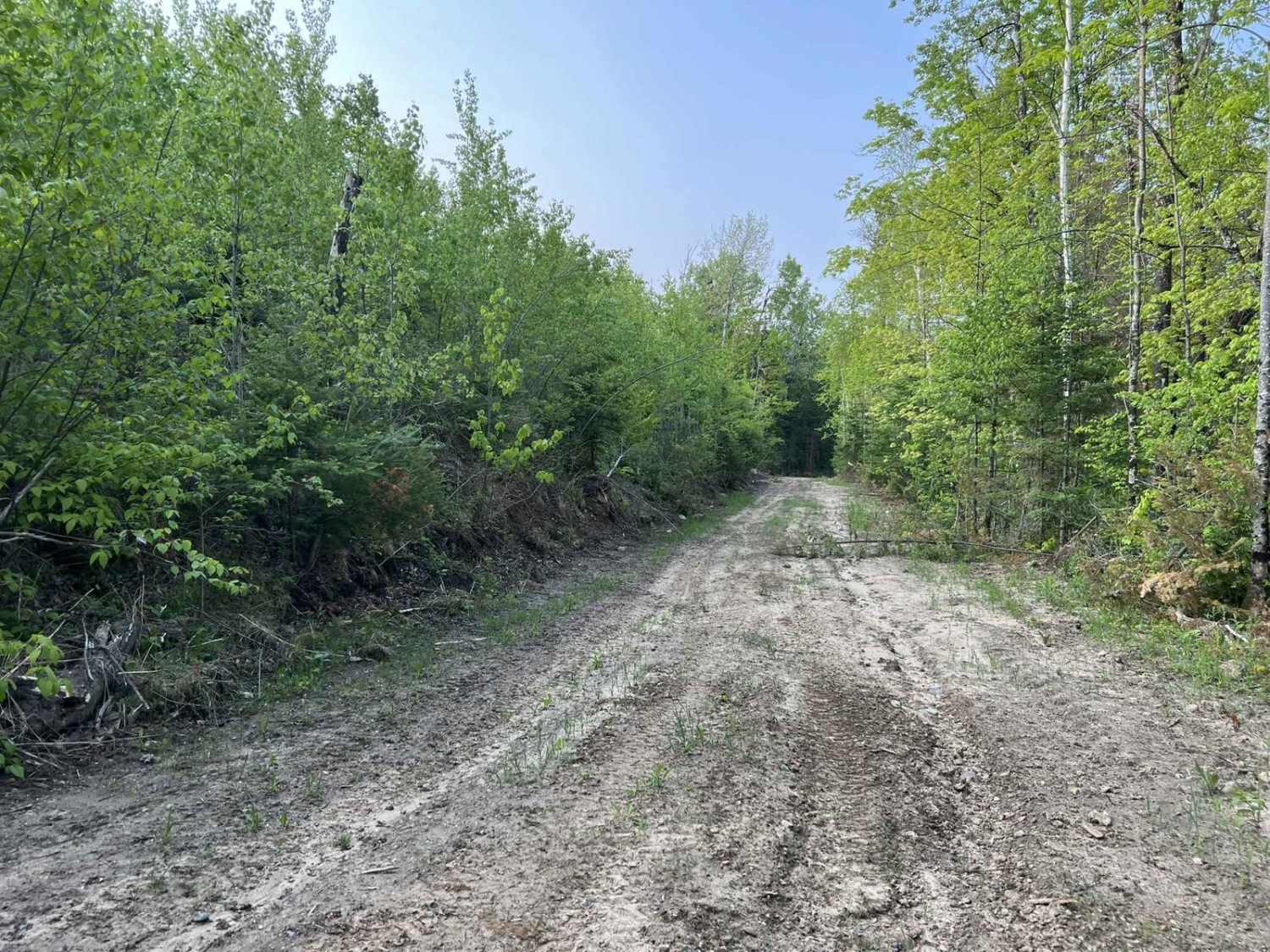
This is a combination of ORV route and Forest Service roads. The trail can have numerous chatter bumps if it hasn't been groomed recently. There are some great views of the Muskegon River at 3 different locations along the way. These are very popular places for dispersed camping. The trail is very sandy and can be pounded out on busy weekends. Soft sand and chatter bumps are the largest obstacles that will be encountered.
Photos of Leota South River Route

Difficulty
Chatter bumps and soft sand are the major obstacles. There are some small holes but nothing to be afraid of.
Status Reports
Leota South River Route can be accessed by the following ride types:
- High-Clearance 4x4
- SUV
- SxS (60")
- ATV (50")
- Dirt Bike
Leota South River Route Map
Popular Trails
FS 3177 Part 1

Dishno Road
The onX Offroad Difference
onX Offroad combines trail photos, descriptions, difficulty ratings, width restrictions, seasonality, and more in a user-friendly interface. Available on all devices, with offline access and full compatibility with CarPlay and Android Auto. Discover what you’re missing today!