Dishno Road
Total Miles
10.0
Elevation
546.94 ft
Duration
0.75 Hours
Technical Rating
Best Time
Spring, Summer, Fall, Winter
Trail Overview
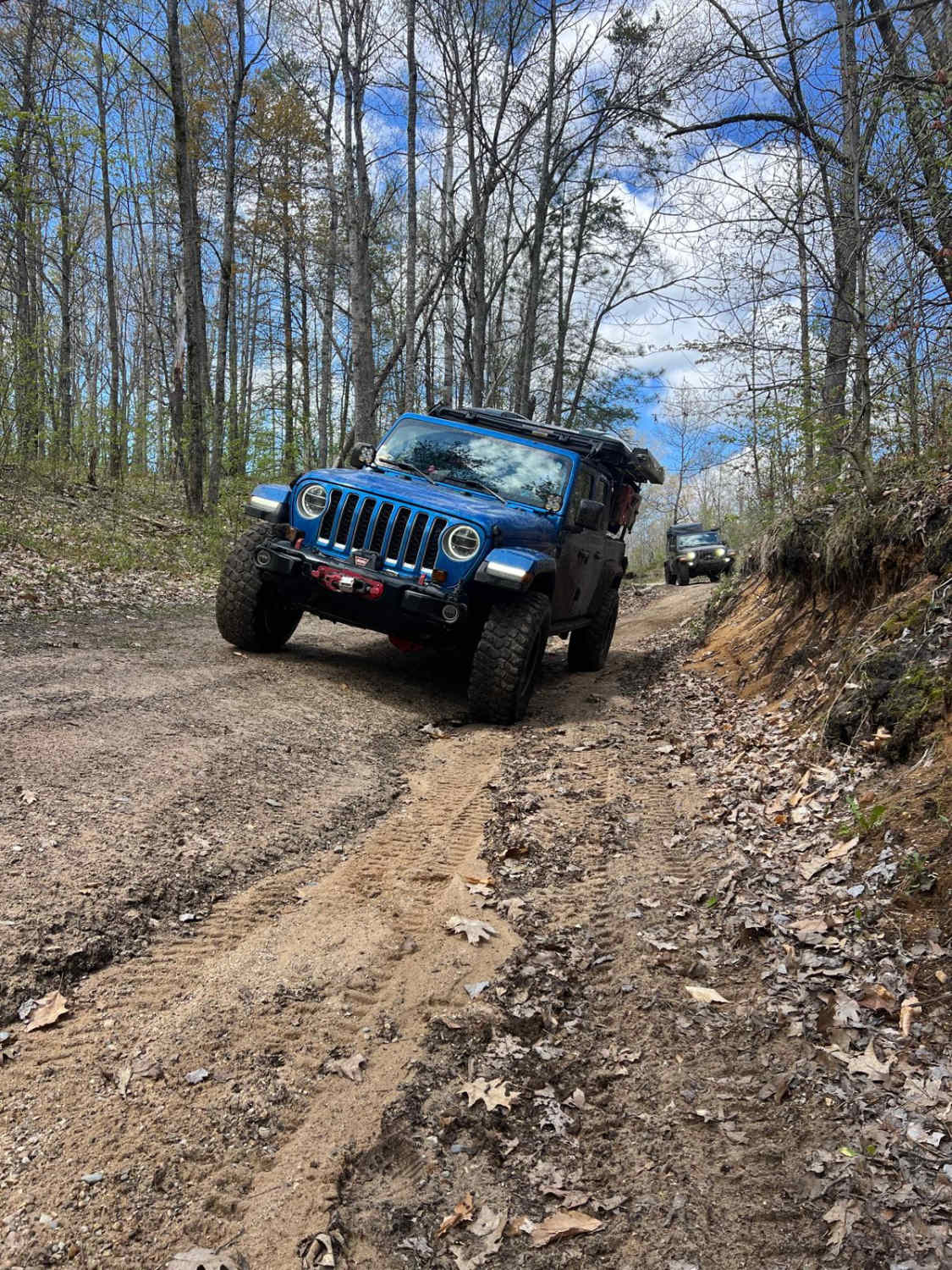
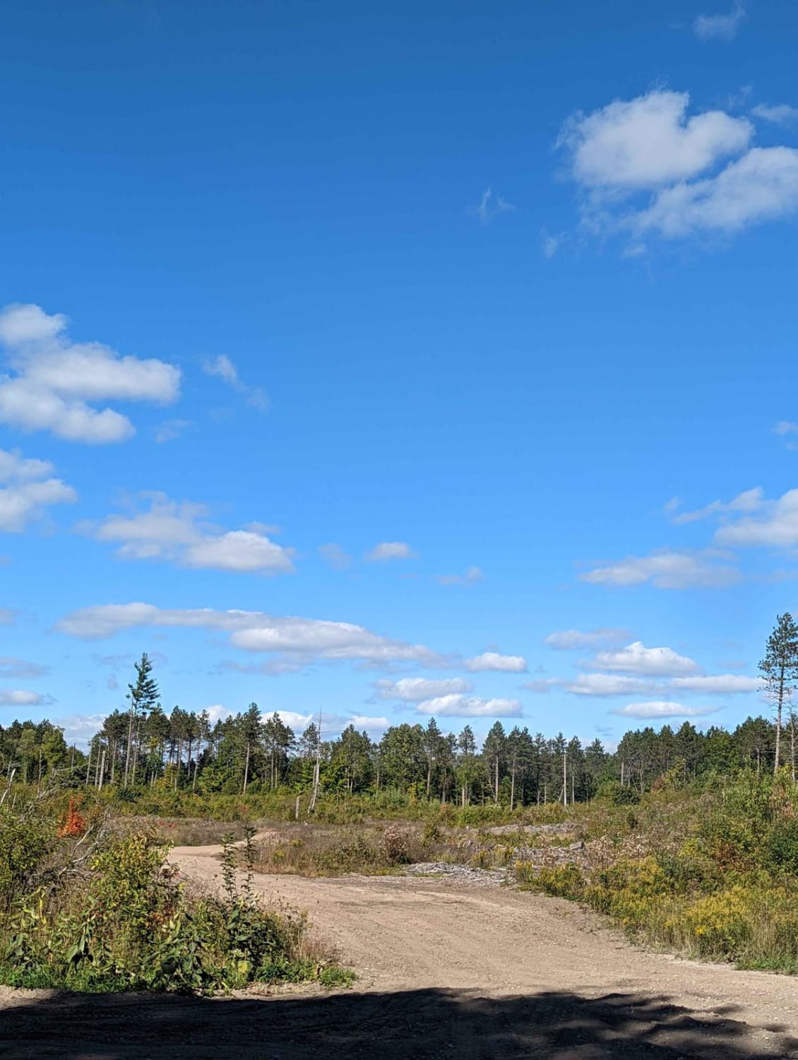
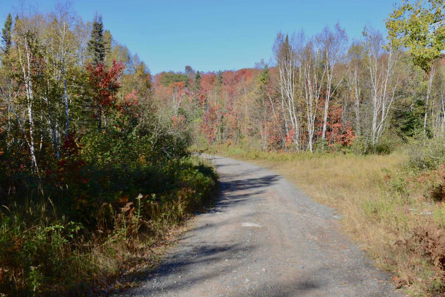
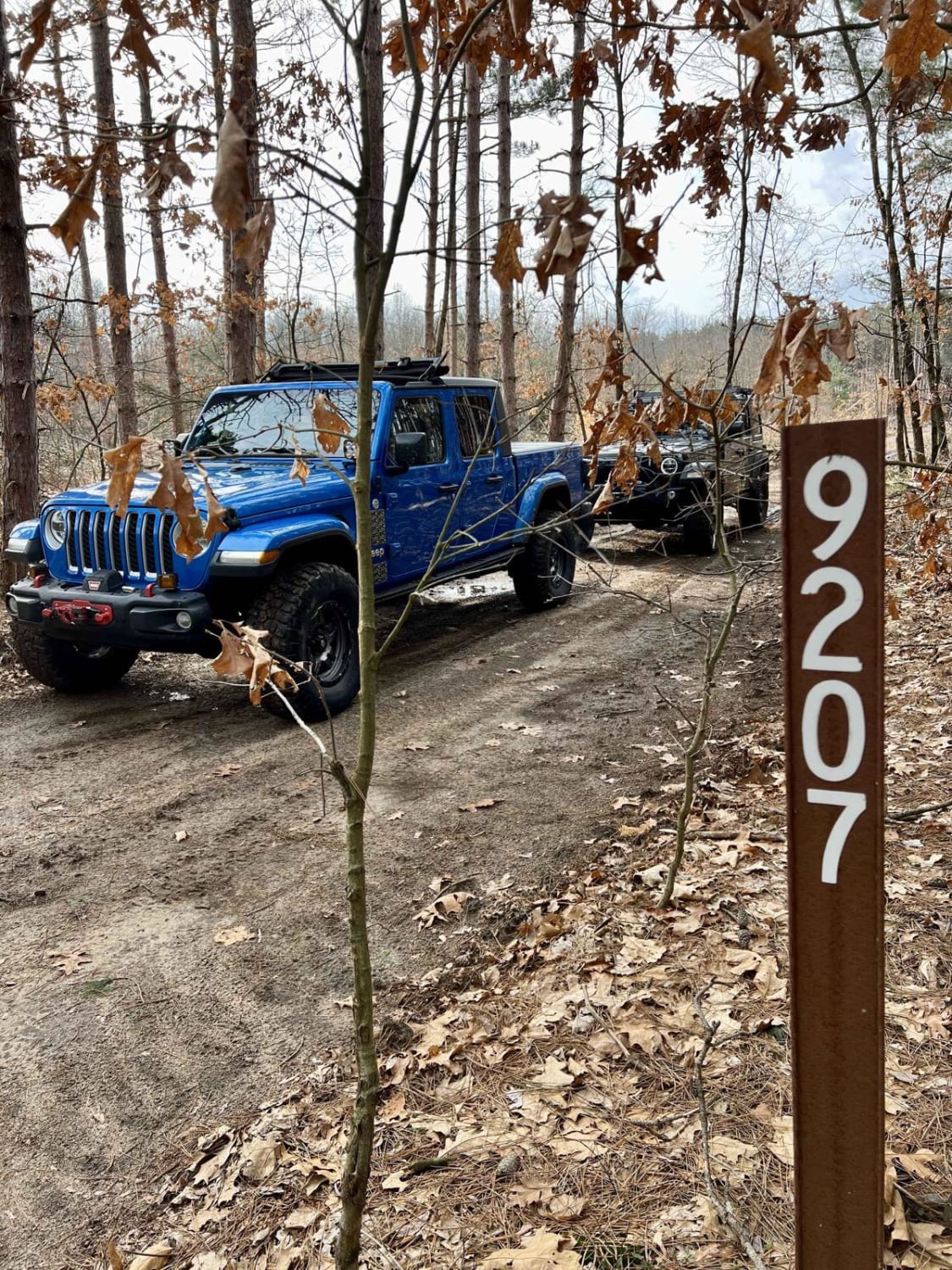
Dishno Road is accessed off of County Road FX on the east and Huron Mountain Drive Big Erics to Van Riper on the west side. This trail is mostly rocky and dirt base. No notable washouts or water holes. There are a few spots with loose rocky hills but nothing a stock 4x4 couldn't tackle. This trail provides access to Brocky and Wolf Lake via a little boat launch. Along the route, you will see amazing views of the surrounding forest and get to see rocky terrain. There is also a bridge along the route that goes over Dishno Creek. This bridge is a wonderful stop the get some great photos. Most of the trail is one vehicle wide but on the west side of the bridge, it opens up and becomes more of a two-lane gravel road.
Photos of Dishno Road
Difficulty
This trail is mostly one vehicle wide without many difficult obstacles. There are some loose rocky sections.
Status Reports
Popular Trails

S 23-1/2 Trail

Sand Lake Road - FS 4436

Hunters Road
The onX Offroad Difference
onX Offroad combines trail photos, descriptions, difficulty ratings, width restrictions, seasonality, and more in a user-friendly interface. Available on all devices, with offline access and full compatibility with CarPlay and Android Auto. Discover what you’re missing today!


