Pikus Forest Road / County Road 58
Total Miles
5.9
Elevation
420.59 ft
Duration
0.25 Hours
Technical Rating
Best Time
Spring, Summer, Fall
Trail Overview
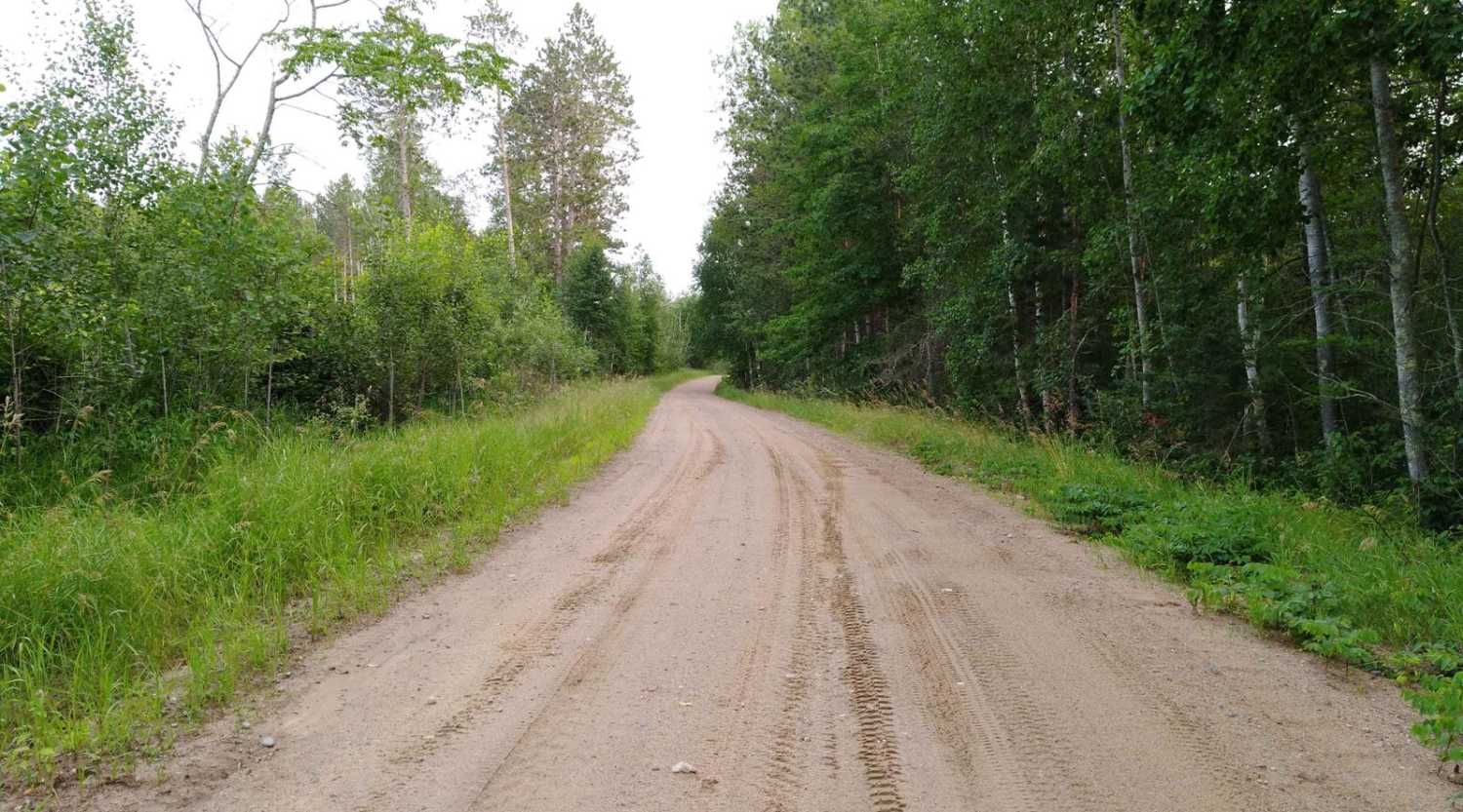
Pikus Forest Road / County Road 58 is mapped from the Moose River Connector Trail at the Aitkin / Cass County line to Cass County Road 58 near Egg Lake where the trail leaves the gravel and into the woods. This section is 5.69 miles long and takes about 15 minutes with an average speed of 21.1 MPH including the time it took for trail pictures. (The very south area of this trail section is the very north end of the Emily - Outing "B" trail)
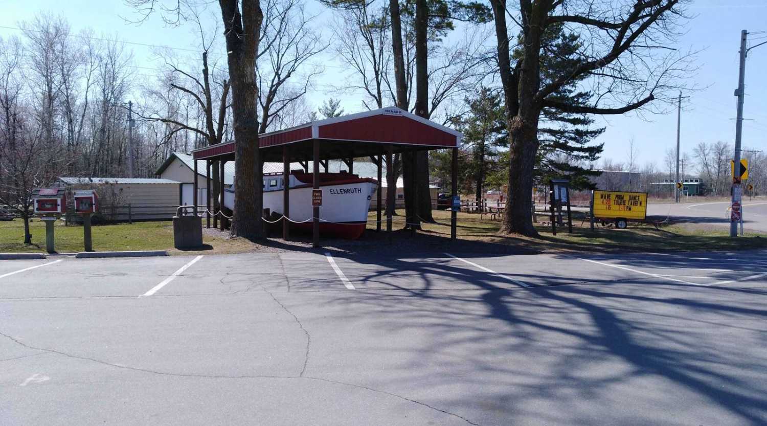
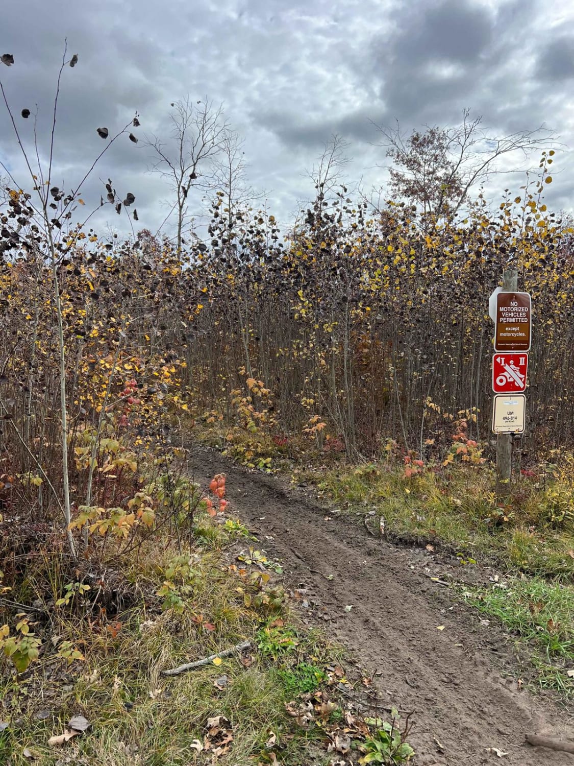
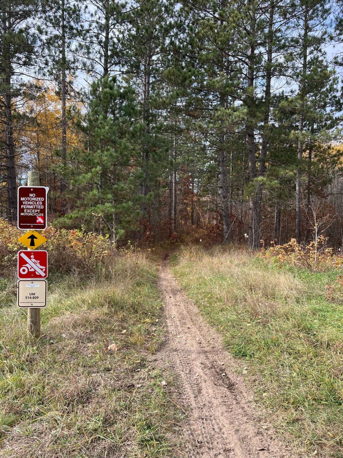
Photos of Pikus Forest Road / County Road 58
Difficulty
This is an easy trail, some lowland areas have minor puddles but were no issue to cross when mapped. Trail width is the only reason for the difficulty rating of 2.
Status Reports
Popular Trails

Blind Lake Connector Trail - South 68

Wahkon to McGrath

Huntersville Western Loop Parking Lot Jaunt

Huntersville Southwestern Trail
The onX Offroad Difference
onX Offroad combines trail photos, descriptions, difficulty ratings, width restrictions, seasonality, and more in a user-friendly interface. Available on all devices, with offline access and full compatibility with CarPlay and Android Auto. Discover what you’re missing today!

