Remer to Boy River
Total Miles
12.8
Elevation
414.89 ft
Duration
0.83 Hours
Technical Rating
Best Time
Spring, Summer, Fall
Trail Overview
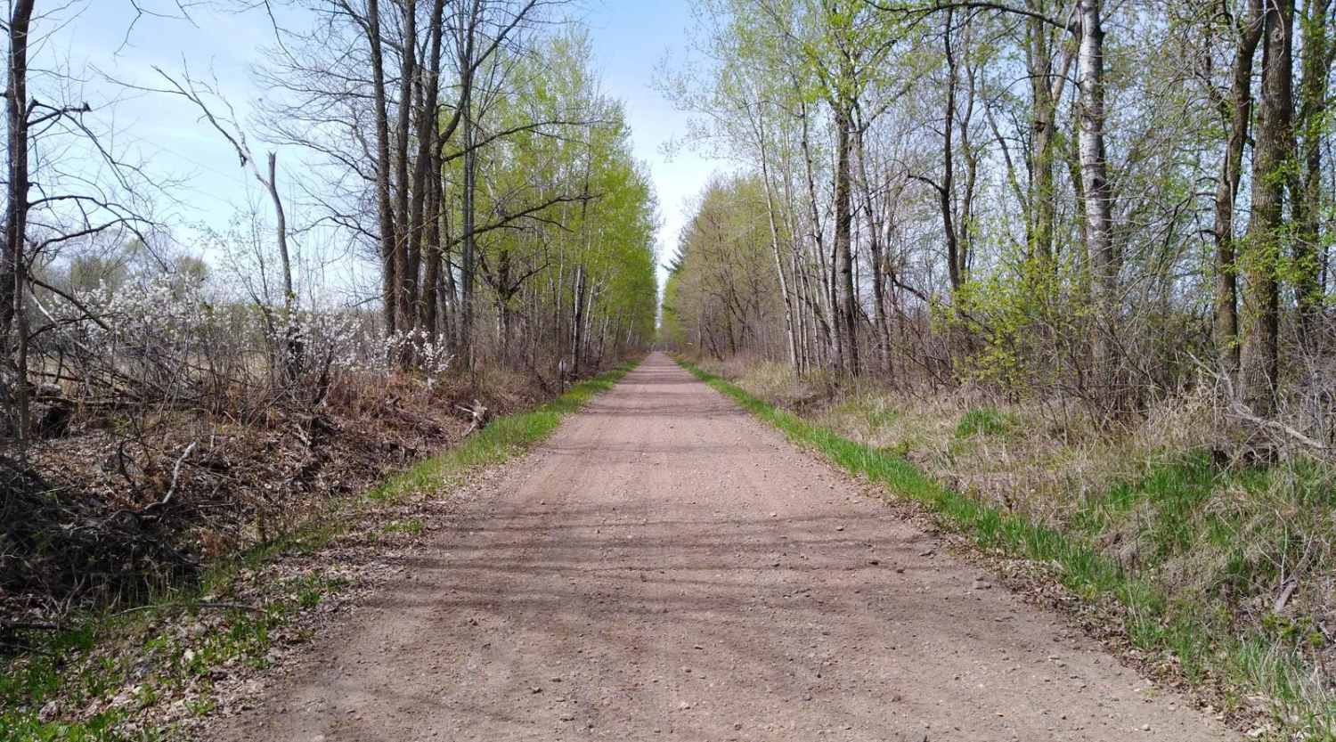
Remer to Boy River on the Soo Line North is a section of converted rail grade that is 13 miles long and takes about 50 minutes with an average speed of 15.8 MPH. It's a great trail to run if you are in the area during a wet period or springtime, when other trails may be water-logged. A note to OHM riders--Cass County sections of the Soo Line North trail do not allow OHM per MN DNR information: https://www.dnr.state.mn.us/ohv/map.html.
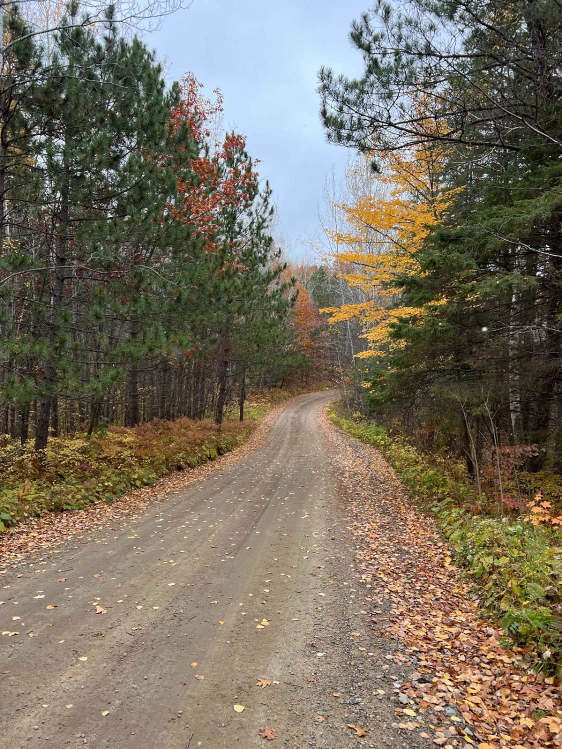
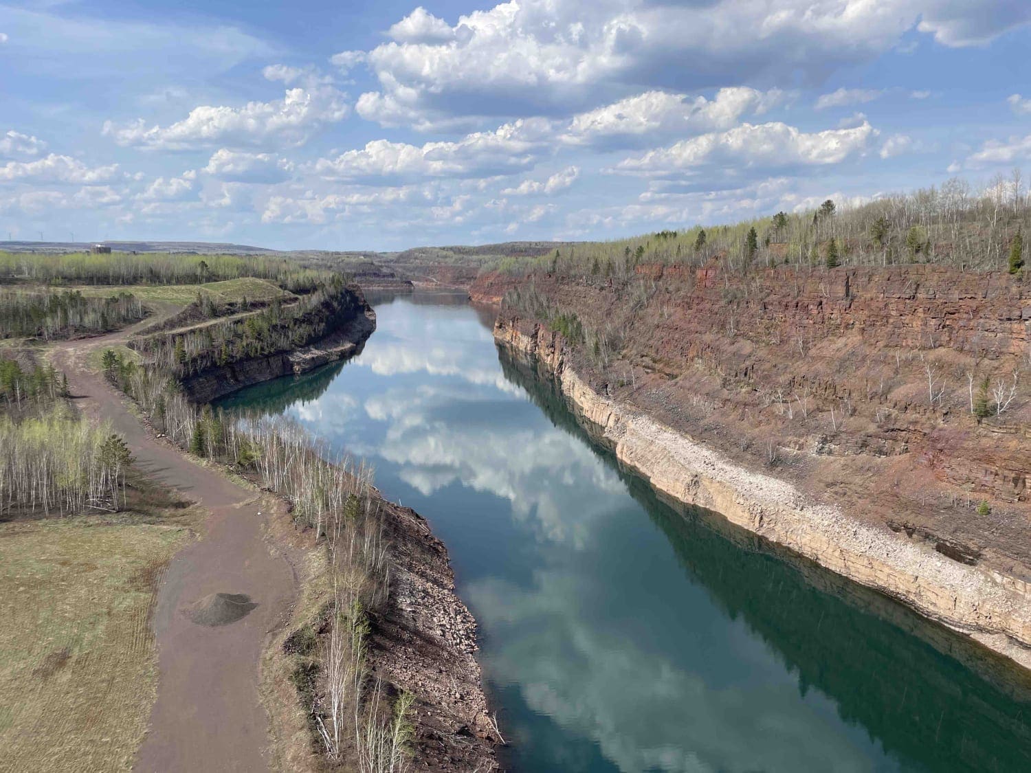
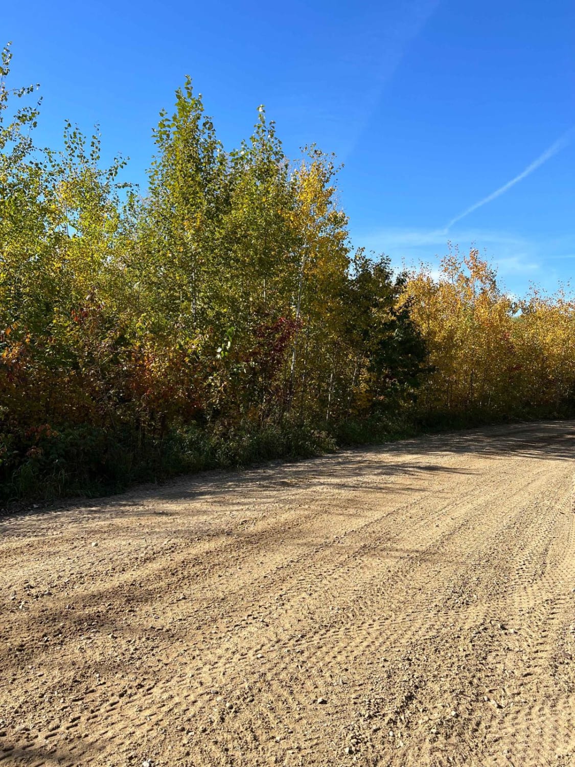
Photos of Remer to Boy River

Difficulty
The section is easy and flat converted rail grade. There's no need for 4x4 or even to lock the rear differential. After several days of rain in the area, this section of trail remains solid and doesn't have any large areas of deep water to cross. The surface is packed gravel without large rocks. Some of the areas have larger stones in the gravel but do not pose an issue. Do pay attention to the edge of the trail, as it can have steep banks since it is converted rail grade. Bridge crossings are well marked and are the only areas you need to use extra care and slow down.
Popular Trails
Blue Ox Scenic Lake Road
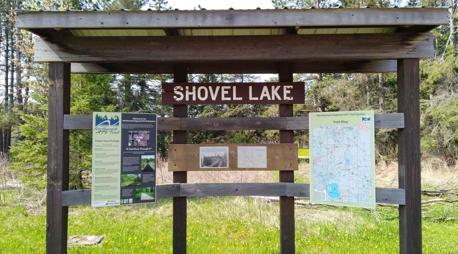
Shovel Lake to Remer
Paul Bunyan Round River Dr
The onX Offroad Difference
onX Offroad combines trail photos, descriptions, difficulty ratings, width restrictions, seasonality, and more in a user-friendly interface. Available on all devices, with offline access and full compatibility with CarPlay and Android Auto. Discover what you’re missing today!