South of Outing on A & AB Trails
Total Miles
4.3
Technical Rating
Best Time
Spring, Summer, Fall
Trail Type
60" Trail
Accessible By
Trail Overview
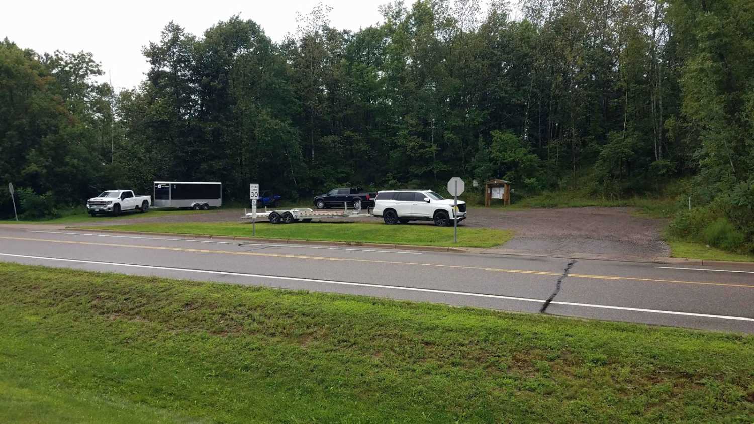
South of Outing on the Emily-Outing A & AB Trails were mapped from the Outing ATV Parking lot to the Emily-Outing B Trail. The length is just under 5 miles, and it stops at the Outing gas station, which is right on the trail. A stop at the parking lot on the north end of the Pickled Loon and a stop at the new Little Emily Lake Park. (Which also has parking marked for "OHV Trail Head Parking.") Without the stops and pictures, travel time would be about 15-20 minutes drive time with an average speed of 15 miles per hour. So that you know, the section of the A Trail that ran along Minnesota State Highway 6 south of the AB Trail has been permanently closed. If you are heading to Emily, you must take the AB Trail, then South on the B trail, which finally turns into the A Trail again at Ruth Lake, where the trail along Minnesota State Highway 6 resumes. Please note that some of these trails run hardtop in Outings, and the trail in the ditch along Minnesota State Highway 6 is also "tar" in some areas. The Crow Wing, County Papoose Road AB Trail section is also a shared gravel road and leads to Little Emily Lake Park at 46.78032, -93.955
Photos of South of Outing on A & AB Trails

Difficulty
Easy trail, some lowland areas have minor puddles but were no issue to cross when mapped. Trail width is the only reason for the difficulty rating of 2. Please use care when crossing driveways, club time and resources are better used back in off road areas for trial work then fixing private driveway crossings and ATV riders don't need the "bad name" for causing damage.
Status Reports
South of Outing on A & AB Trails can be accessed by the following ride types:
- SxS (60")
- ATV (50")
South of Outing on A & AB Trails Map
Popular Trails

Stony River Forest Road


Jacob's Ladder

South Brule - FS 325
The onX Offroad Difference
onX Offroad combines trail photos, descriptions, difficulty ratings, width restrictions, seasonality, and more in a user-friendly interface. Available on all devices, with offline access and full compatibility with CarPlay and Android Auto. Discover what you’re missing today!