West Round River - Part 1
Total Miles
1.2
Technical Rating
Best Time
Summer, Spring, Fall
Trail Type
60" Trail
Accessible By
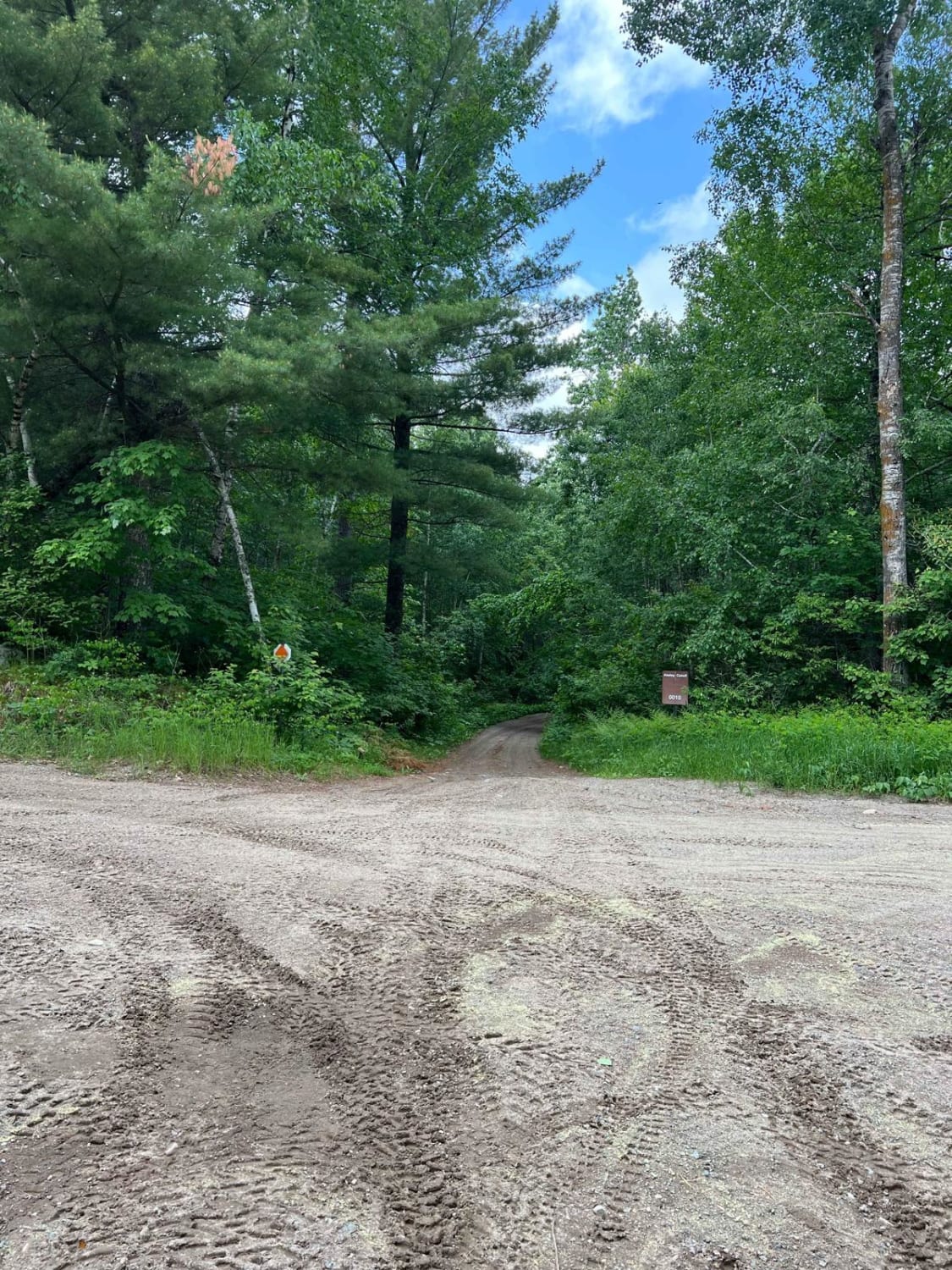
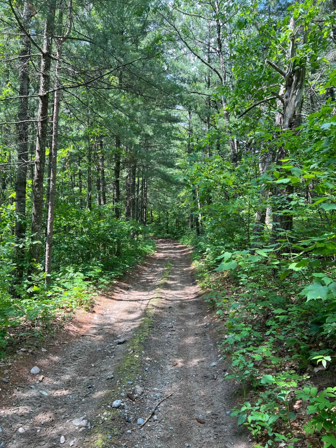
Trail Overview
This trail is a natural continuation of the Akeley Cutoff Road trail. Similarly challenging and part of a larger loop where you can pass by a lookout tower. I am unsure where it is allowed to go up in the tower but at least it's a destination. The trail is roughly a large SxS wide. There are sections of shallow water, washed-out/rutted trails, and small rocks.
Photos of West Round River - Part 1
Difficulty
This trail has sections of shallow water, gravel/dirt mix, and narrow wooded sections for a SxS.
Status Reports
West Round River - Part 1 can be accessed by the following ride types:
- SxS (60")
- ATV (50")
- Dirt Bike
West Round River - Part 1 Map
Popular Trails

Forest Service Road 467

Wapiti Road NW

Blind Lake Trail- East 106
County Road 3 to Wisconsin Border
The onX Offroad Difference
onX Offroad combines trail photos, descriptions, difficulty ratings, width restrictions, seasonality, and more in a user-friendly interface. Available on all devices, with offline access and full compatibility with CarPlay and Android Auto. Discover what you’re missing today!