Kings Point Island
Total Miles
24.7
Technical Rating
Best Time
Summer
Trail Type
Full-Width Road
Accessible By
Trail Overview
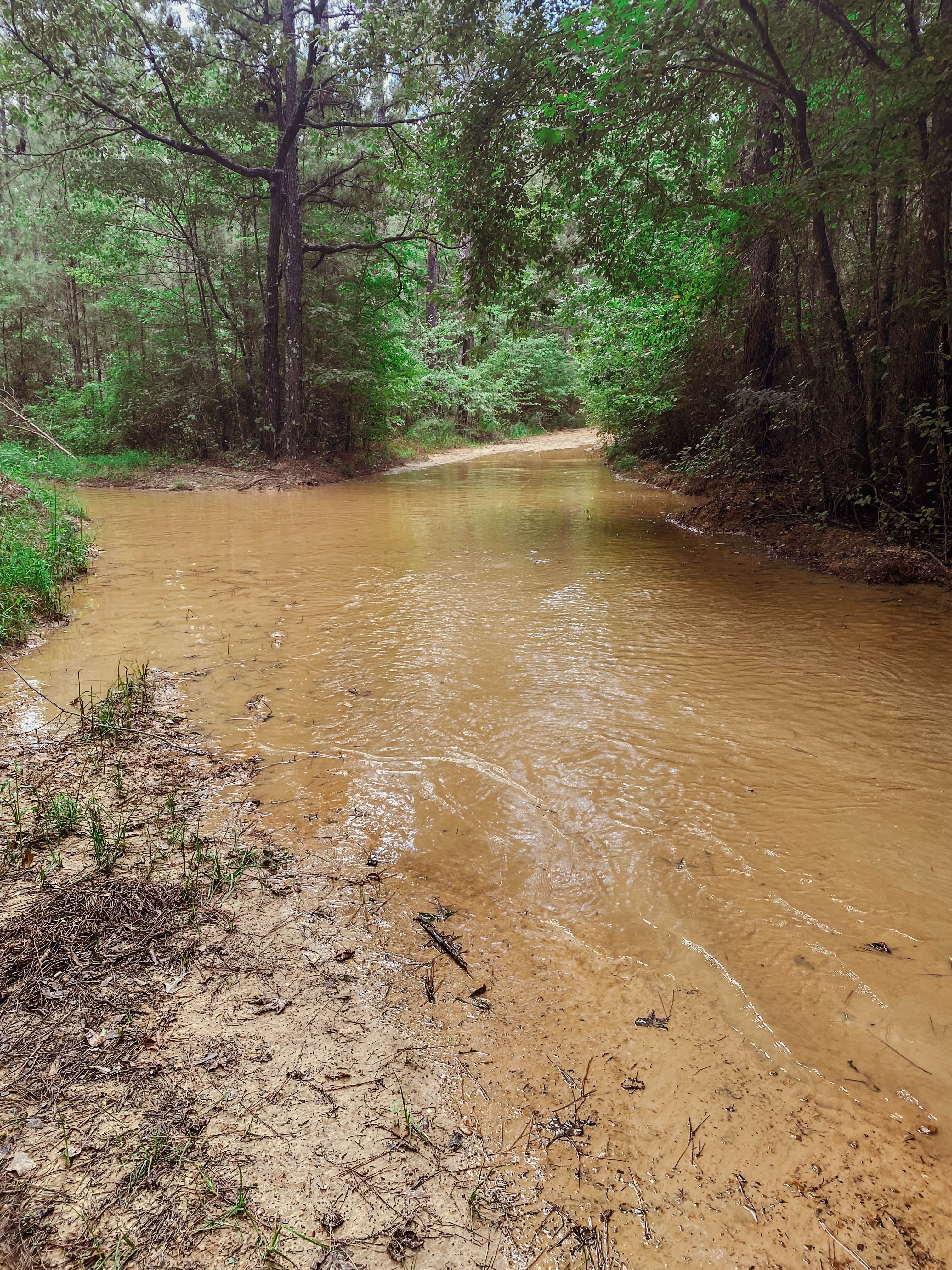
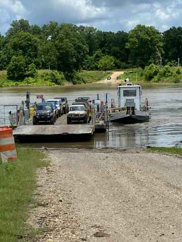
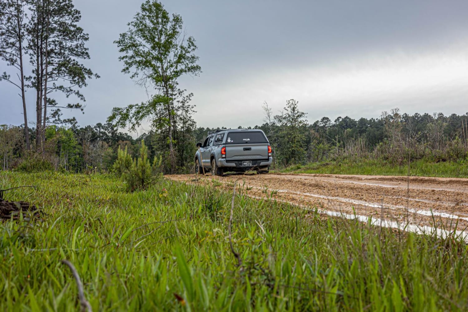
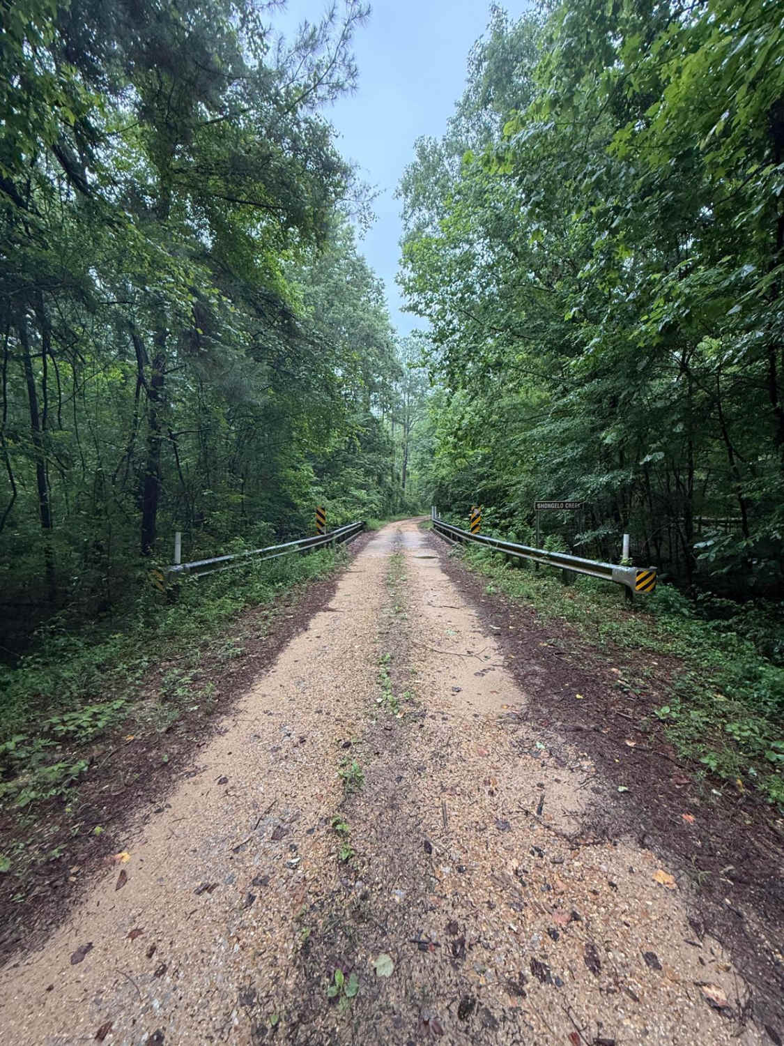
You can only reach Kings Point Island via Ferry. Begin your trip on Kings Point Ferry Road, which at the beginning consists of both gravel and asphalt, but don't let the asphalt fool you, it's just as bumpy as the gravel road. The trip to the ferry is 9 miles. You will pass many fields of soybeans, places to fish among the cypress and the view of various birds. Once you reach the ferry (which holds 8 jeeps) it's a short ride to the island. Once on the island make sure you do not venture off the beaten path, the county sheriff's office has placed several game cams throughout the island. The island is made up of dirt and mud, there are several fishing and hunting camps located on the island. The back of the island runs along the Mississippi River with spectacular views.
Photos of Kings Point Island
Difficulty
This is an easy trail, however expect to bring a lot of mud out with you. You may visit the island late spring, with the best time being in the summer, when the river is down. During the winter months and early spring the Mississippi River is up and floods the island making it inaccessible.
Status Reports
Kings Point Island can be accessed by the following ride types:
- High-Clearance 4x4
- SUV
- Dirt Bike
Kings Point Island Map
Popular Trails

Pearl River Run
The onX Offroad Difference
onX Offroad combines trail photos, descriptions, difficulty ratings, width restrictions, seasonality, and more in a user-friendly interface. Available on all devices, with offline access and full compatibility with CarPlay and Android Auto. Discover what you’re missing today!


