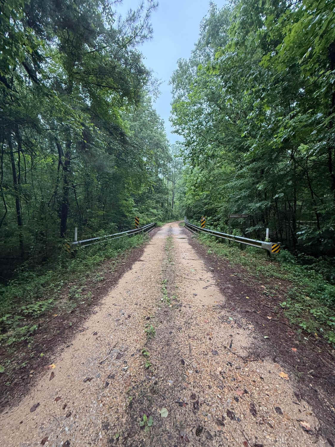
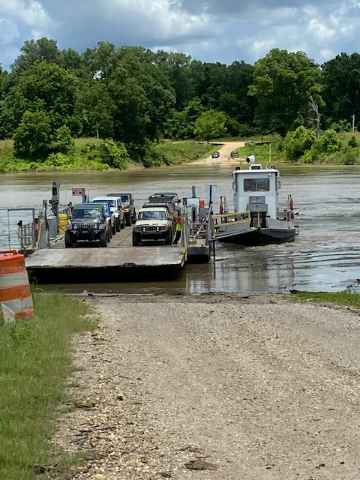
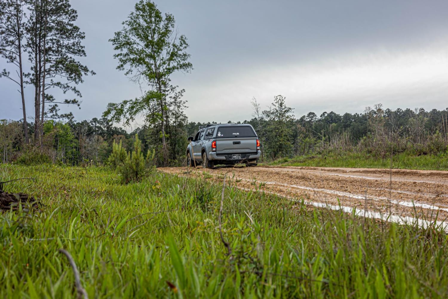
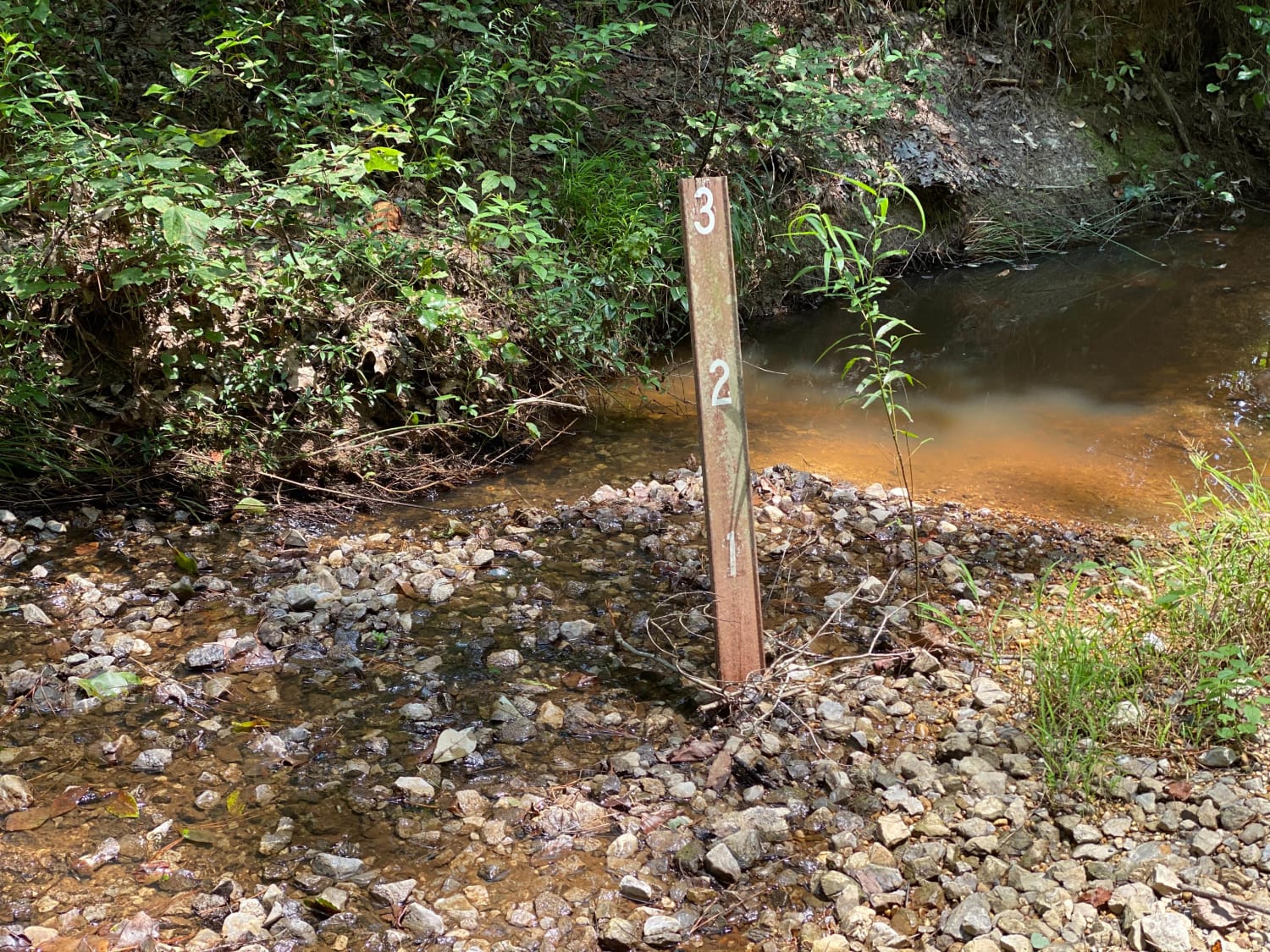
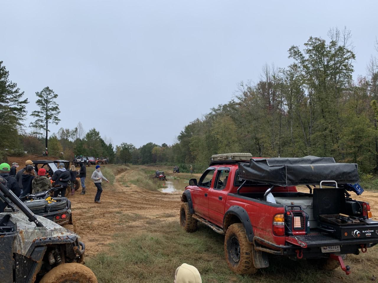
Off-Road Trails in Mississippi
Discover off-road trails in Mississippi
Learn more about Ashe Lake Trail
Ashe Lake Trail
Total Miles
8.9
Tech Rating
Easy
Best Time
Spring, Summer, Fall, Winter
Learn more about Beinville NF (Lena to Laurel)
Beinville NF (Lena to Laurel)
Total Miles
13.9
Tech Rating
Easy
Best Time
Fall
Learn more about Bienville Scenic Trail
Bienville Scenic Trail
Total Miles
13.9
Tech Rating
Easy
Best Time
Spring, Summer, Fall, Winter
Learn more about Black Cat Bottom
Black Cat Bottom
Total Miles
3.8
Tech Rating
Easy
Best Time
Spring, Summer, Fall, Winter
Learn more about Delta NF, Sunflower WMA Access Road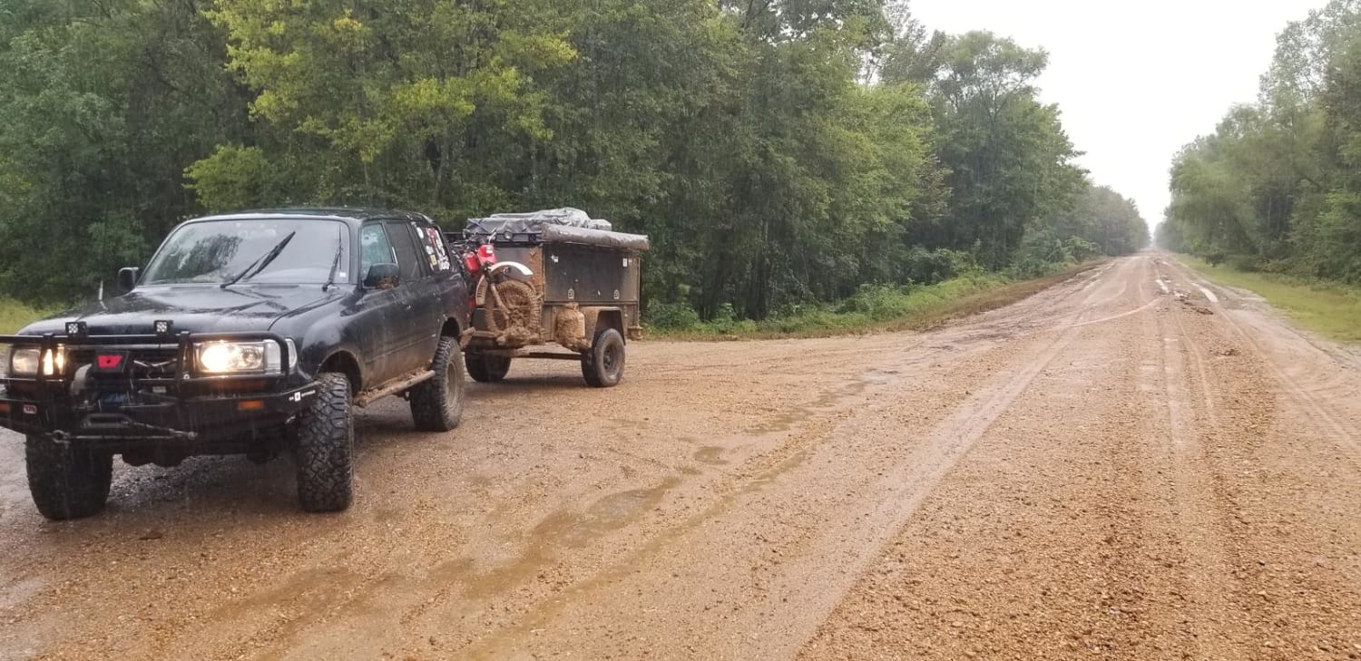
Delta NF, Sunflower WMA Access Road
Total Miles
4.0
Tech Rating
Easy
Best Time
Spring, Summer, Fall, Winter
Learn more about FS 527/FS 527A
FS 527/FS 527A
Total Miles
2.5
Tech Rating
Easy
Best Time
Spring, Summer, Fall, Winter
Learn more about HCNF 102E Trail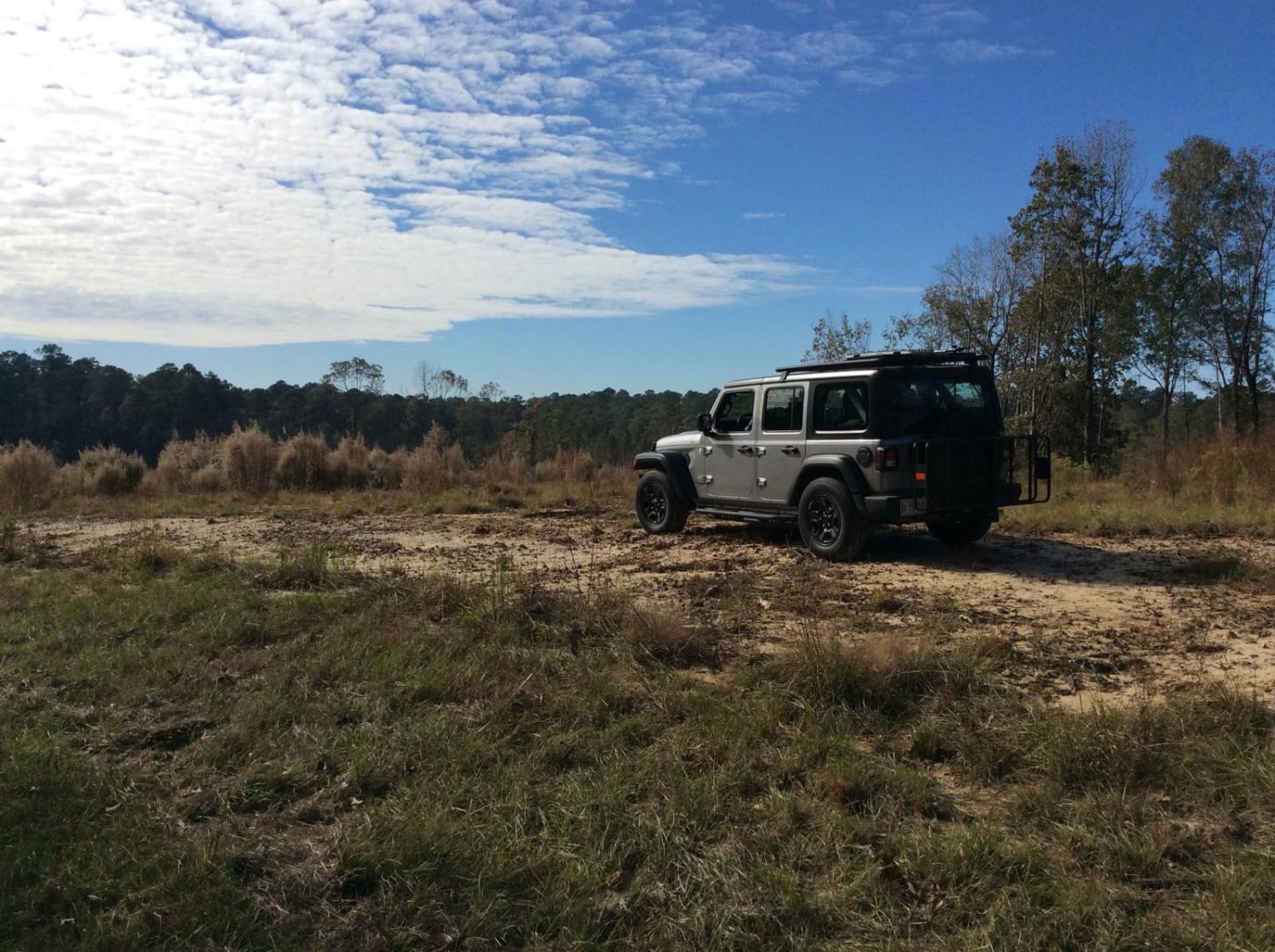
HCNF 102E Trail
Total Miles
7.3
Tech Rating
Easy
Best Time
Spring, Summer, Fall, Winter
Learn more about HCNF 103B Cheek Trail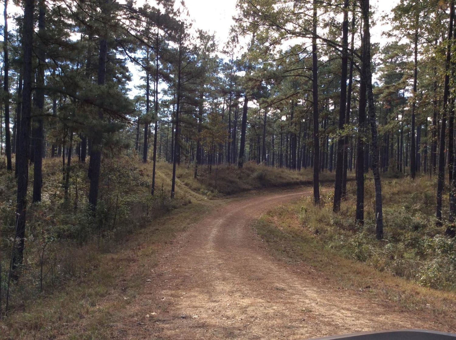
HCNF 103B Cheek Trail
Total Miles
1.4
Tech Rating
Easy
Best Time
Spring, Summer, Fall, Winter
Learn more about HCNF Swayze Trace Trail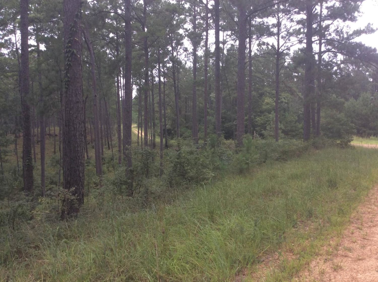
HCNF Swayze Trace Trail
Total Miles
6.4
Tech Rating
Easy
Best Time
Spring, Summer, Fall, Winter
Learn more about HCNF Woodlawn Trail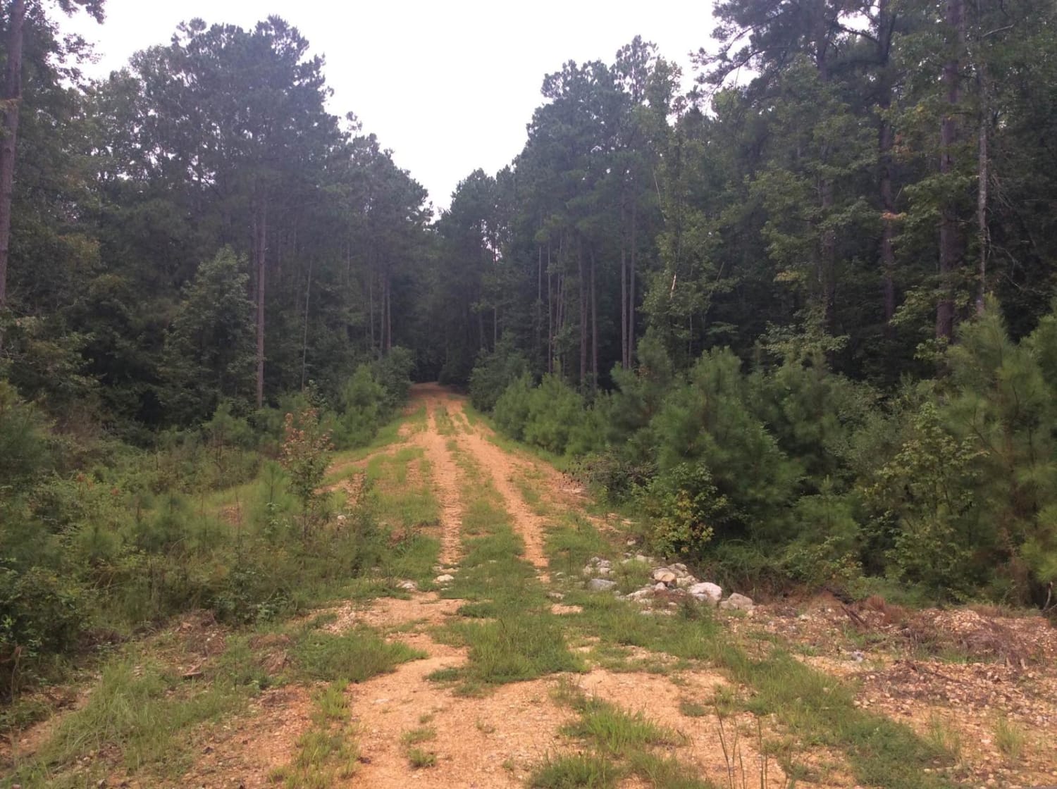
HCNF Woodlawn Trail
Total Miles
7.3
Tech Rating
Easy
Best Time
Spring, Summer, Fall, Winter
Learn more about Homochitto National Forest Trail 126B 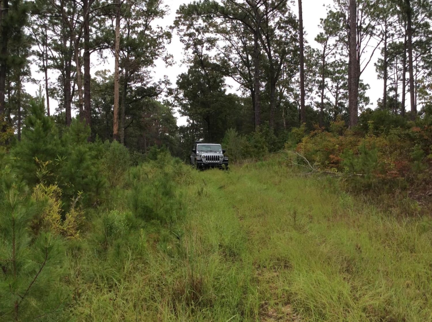
Homochitto National Forest Trail 126B
Total Miles
3.2
Tech Rating
Easy
Best Time
Spring, Summer, Fall, Winter
Learn more about Pearl River Run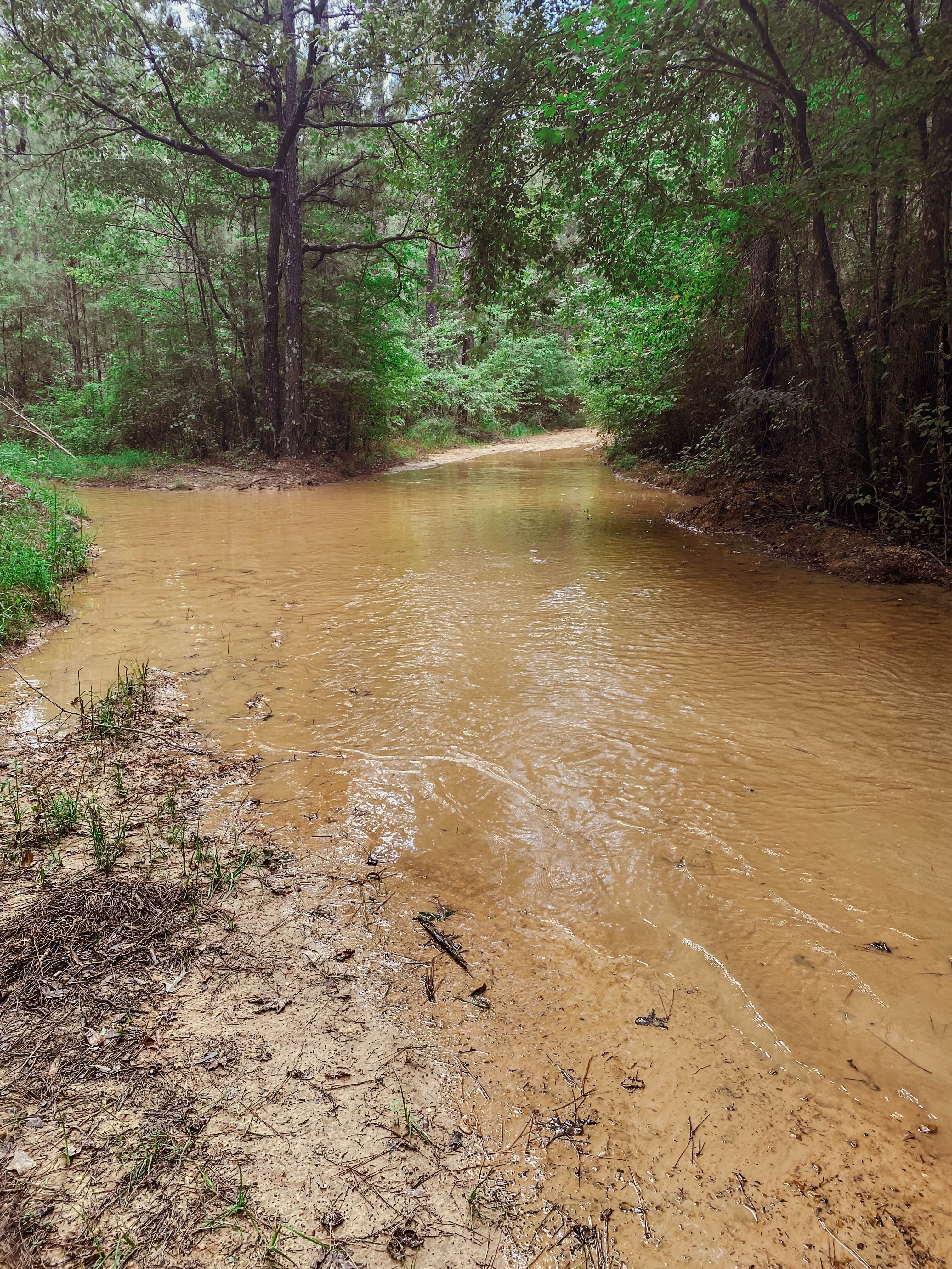
Pearl River Run
Total Miles
7.2
Tech Rating
Moderate
Best Time
Spring, Summer, Fall, Winter
Learn more about Peninsula Grove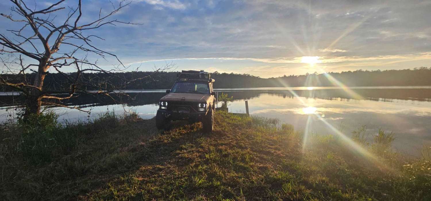
Peninsula Grove
Total Miles
0.5
Tech Rating
Easy
Best Time
Spring, Summer, Fall, Winter
Learn more about River Rat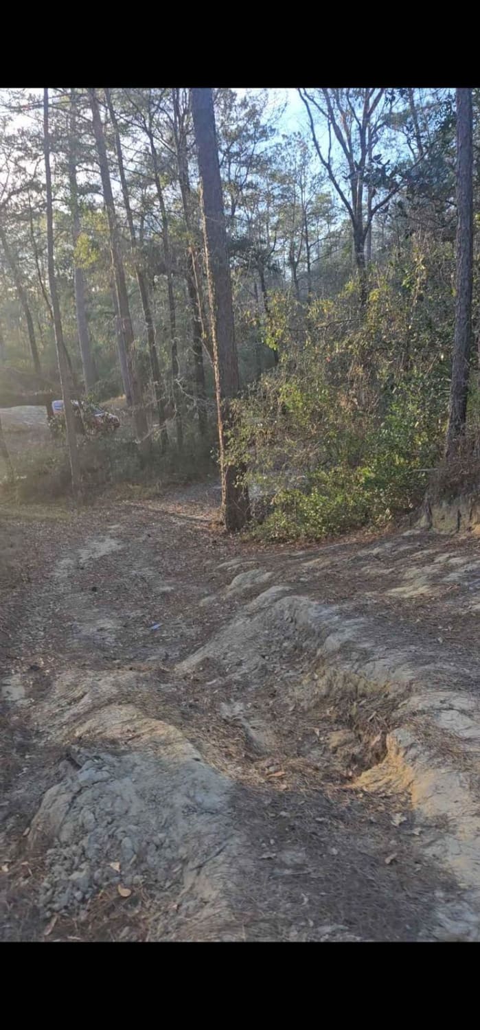
River Rat
Total Miles
0.1
Tech Rating
Moderate
Best Time
Spring, Summer, Fall, Winter

ATV trails in Mississippi
Learn more about Ashe Lake Trail
Ashe Lake Trail
Total Miles
8.9
Tech Rating
Easy
Best Time
Spring, Summer, Fall, Winter
Learn more about Beinville NF (Lena to Laurel)
Beinville NF (Lena to Laurel)
Total Miles
13.9
Tech Rating
Easy
Best Time
Fall
Learn more about HCNF 102E Trail
HCNF 102E Trail
Total Miles
7.3
Tech Rating
Easy
Best Time
Spring, Summer, Fall, Winter
UTV/side-by-side trails in Mississippi
Learn more about Ashe Lake Trail
Ashe Lake Trail
Total Miles
8.9
Tech Rating
Easy
Best Time
Spring, Summer, Fall, Winter
Learn more about Beinville NF (Lena to Laurel)
Beinville NF (Lena to Laurel)
Total Miles
13.9
Tech Rating
Easy
Best Time
Fall
Learn more about HCNF 102E Trail
HCNF 102E Trail
Total Miles
7.3
Tech Rating
Easy
Best Time
Spring, Summer, Fall, Winter
The onX Offroad Difference
onX Offroad combines trail photos, descriptions, difficulty ratings, width restrictions, seasonality, and more in a user-friendly interface. Available on all devices, with offline access and full compatibility with CarPlay and Android Auto. Discover what you’re missing today!