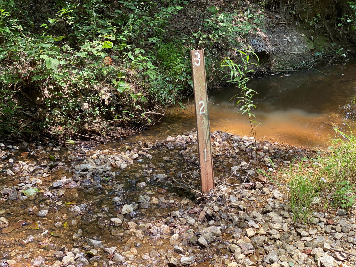
Bienville Scenic Trail
Total Miles
13.9
Technical Rating
Best Time
Spring, Summer, Fall, Winter
Trail Type
Full-Width Road
Accessible By
Trail Overview
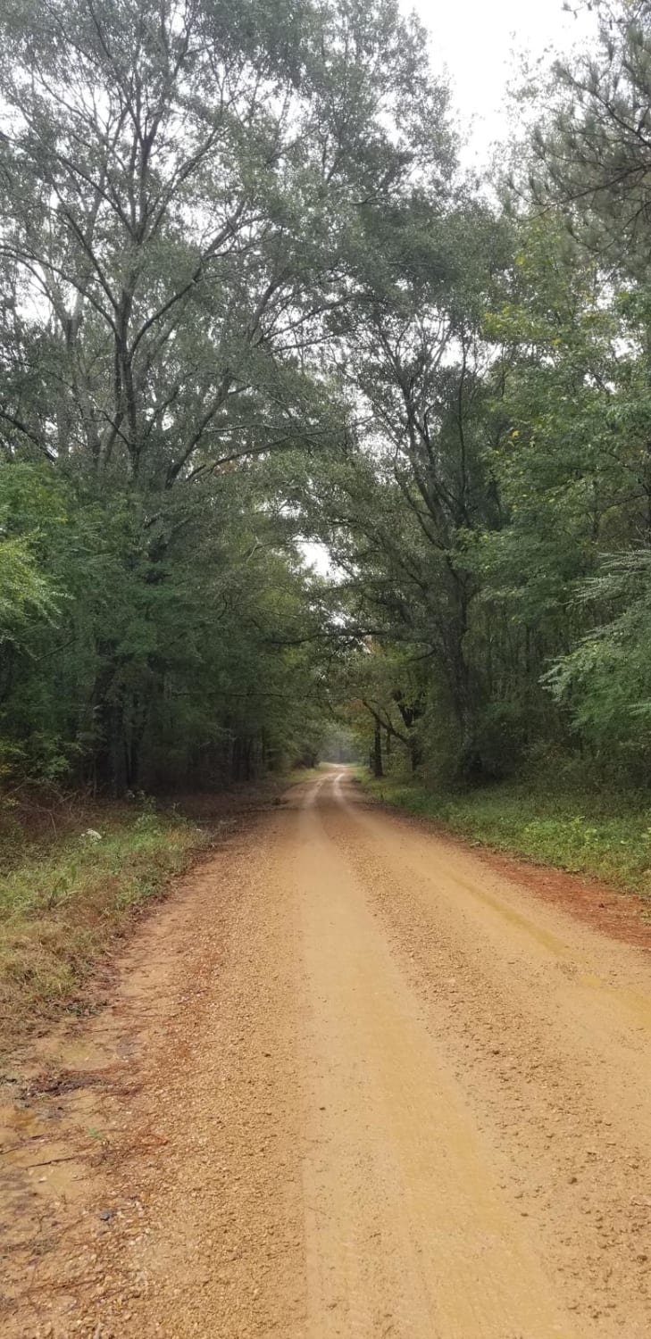
This is a scenic trail that goes north/south through the Bienville National Forest and some private land northeast of Jackson, MS. It's perfect for a short afternoon drive away from the busy city life. This trail is flat and well-maintained as it goes through the woods of the southeast US. Part of the trail winds through the Bienville Wildlife Management Area, which is managed for hunting uses during appropriate seasons. The route allows users to wind through the woodlands of the area with plenty of hiking options off the main road. The north end of the trail passes out of the National Forest through dirt county roads adjacent to local farms. Once you come out on the main road, the Natchez Trace Parkway is nearby for a relaxing paved drive back to the Jackson area. In heavy rains, the trail can become impassable by lesser equipped vehicles due to slick clay road beds. Be aware of hunters during hunting season, especially while hiking.
Photos of Bienville Scenic Trail
Difficulty
This is a basic forest service road, and is well maintained out outside of inclement weather and heavy rain.
Status Reports
Bienville Scenic Trail can be accessed by the following ride types:
- High-Clearance 4x4
- SUV
Bienville Scenic Trail Map
Popular Trails
River Rat

HCNF 102E Trail
Bienville Scenic Trail
The onX Offroad Difference
onX Offroad combines trail photos, descriptions, difficulty ratings, width restrictions, seasonality, and more in a user-friendly interface. Available on all devices, with offline access and full compatibility with CarPlay and Android Auto. Discover what you’re missing today!
