Butler Hollow
Total Miles
9.4
Elevation
473.01 ft
Duration
0.5 Hours
Technical Rating
Best Time
Spring, Summer, Fall, Winter
Trail Overview
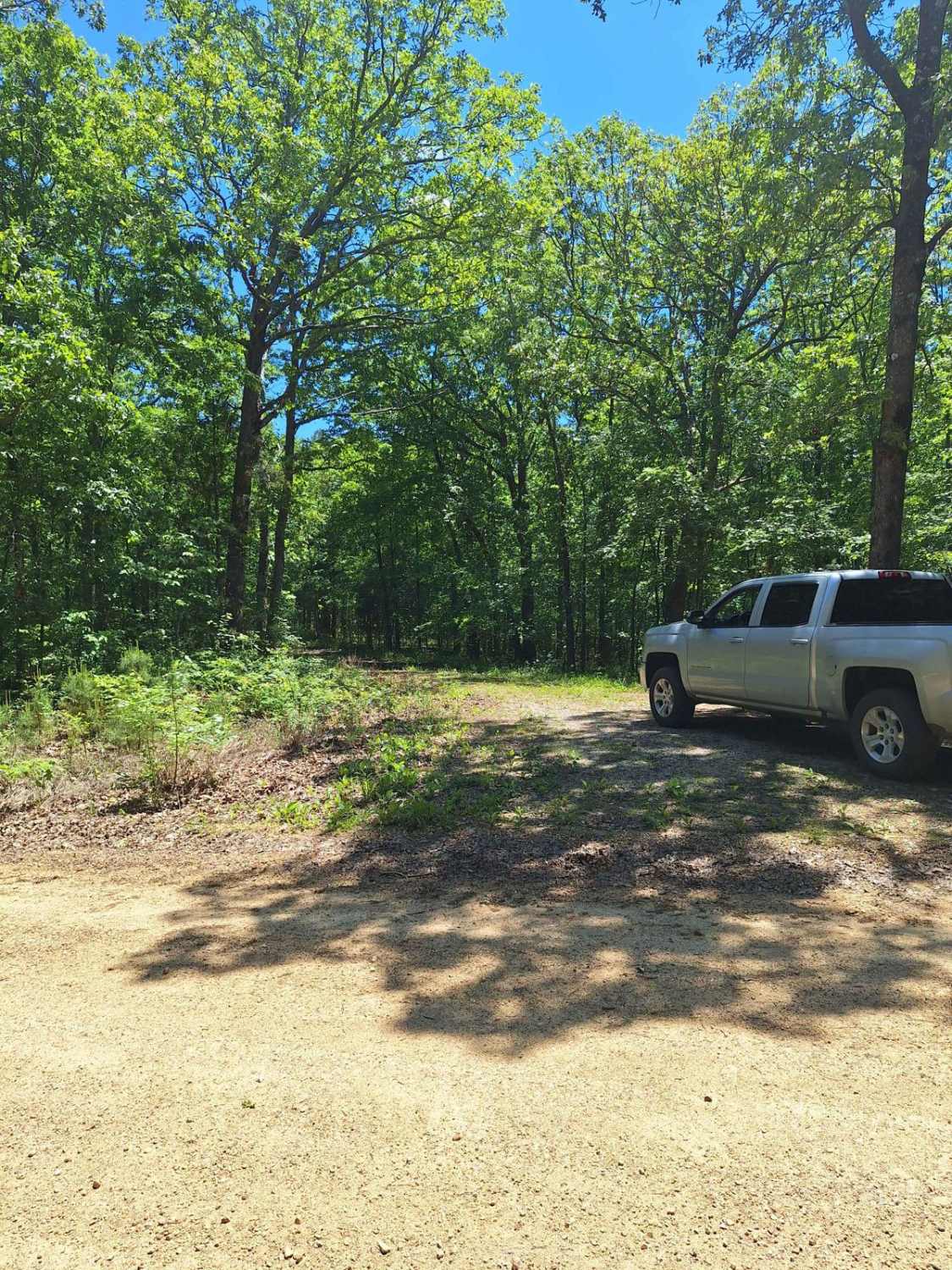
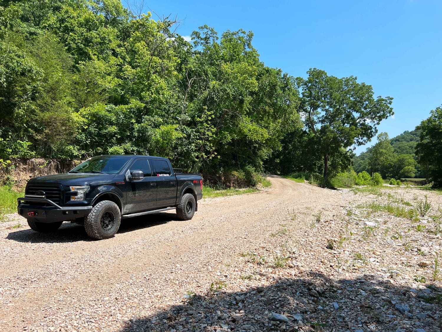
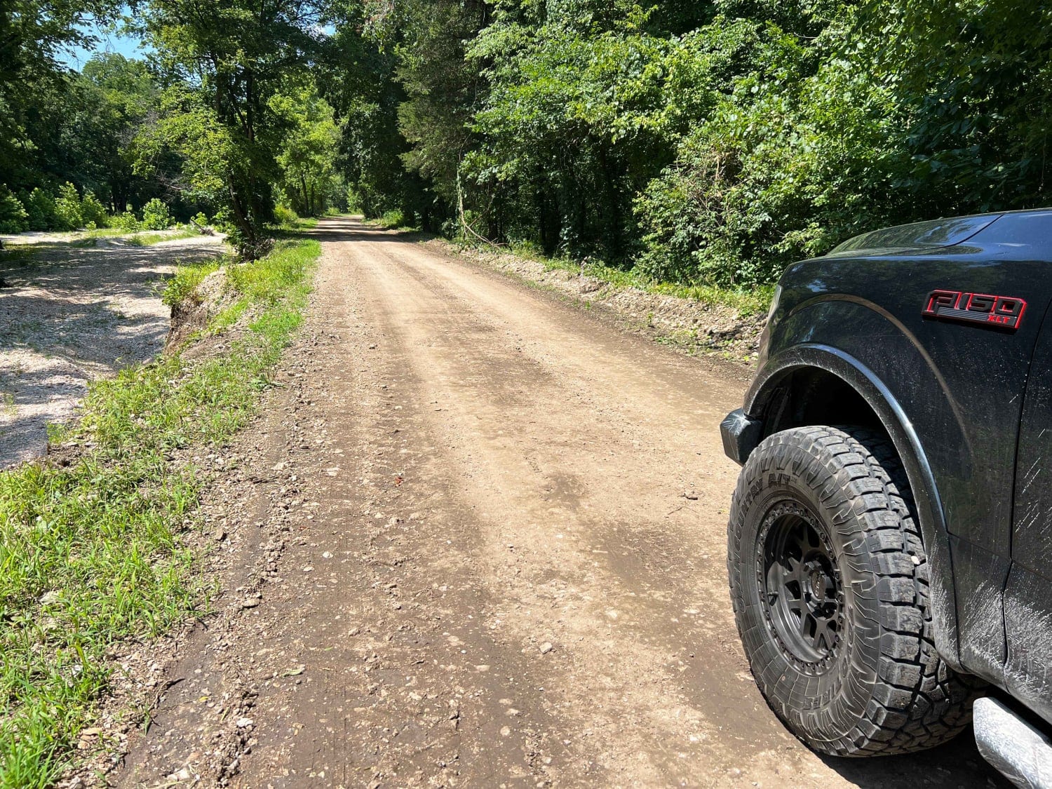
Butler Hollow connects Beaver, Arkansas, and Seligman, Missouri via a retired Arkansas & Ozarks rail line along Butler Creek. Most of the road is well-graded gravel with scattered potholes and dry water crossings. The north end of the road through the National Forest is packed dirt with scattered potholes in the shadows. This is an easy-going fun cruise crossing state lines that could prove difficult after heavy rains since the road crosses the creek. This passes through protected Ozark glade bottoms where road runners, prickly pear cacti, and other desert animals can be found.
Photos of Butler Hollow
Difficulty
Scattered potholes hide in the shadows along this route. After heavy rains, this route may be impassable since the road passes through the creek bed.
History
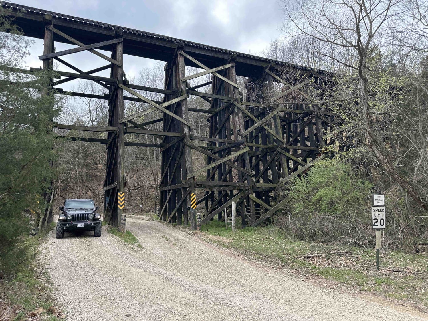
The Arkansas & Ozarks Railroad only lasted from 1949 to 1960. The White River railroad crossing at Beaver was condemned by the U.S. Army Corps of Engineers in 1959 to make way for the proposed Table Rock Lake, causing the rail line to be retired. The abandoned warren truss bridge can still be seen to the east from the historic wood suspension bridge in Beaver, Arkansas.
Popular Trails

Brixey Hill

Stocker Stomper

South Windy FSR 3304

FS 1730 to Temporal Road
The onX Offroad Difference
onX Offroad combines trail photos, descriptions, difficulty ratings, width restrictions, seasonality, and more in a user-friendly interface. Available on all devices, with offline access and full compatibility with CarPlay and Android Auto. Discover what you’re missing today!

