Castor River Shut-Ins Road
Total Miles
1.5
Technical Rating
Best Time
Spring, Summer, Fall, Winter
Trail Type
Full-Width Road
Accessible By
Trail Overview
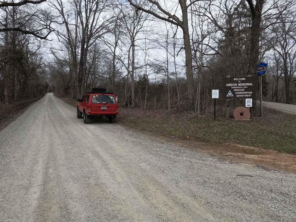
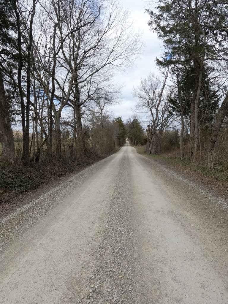
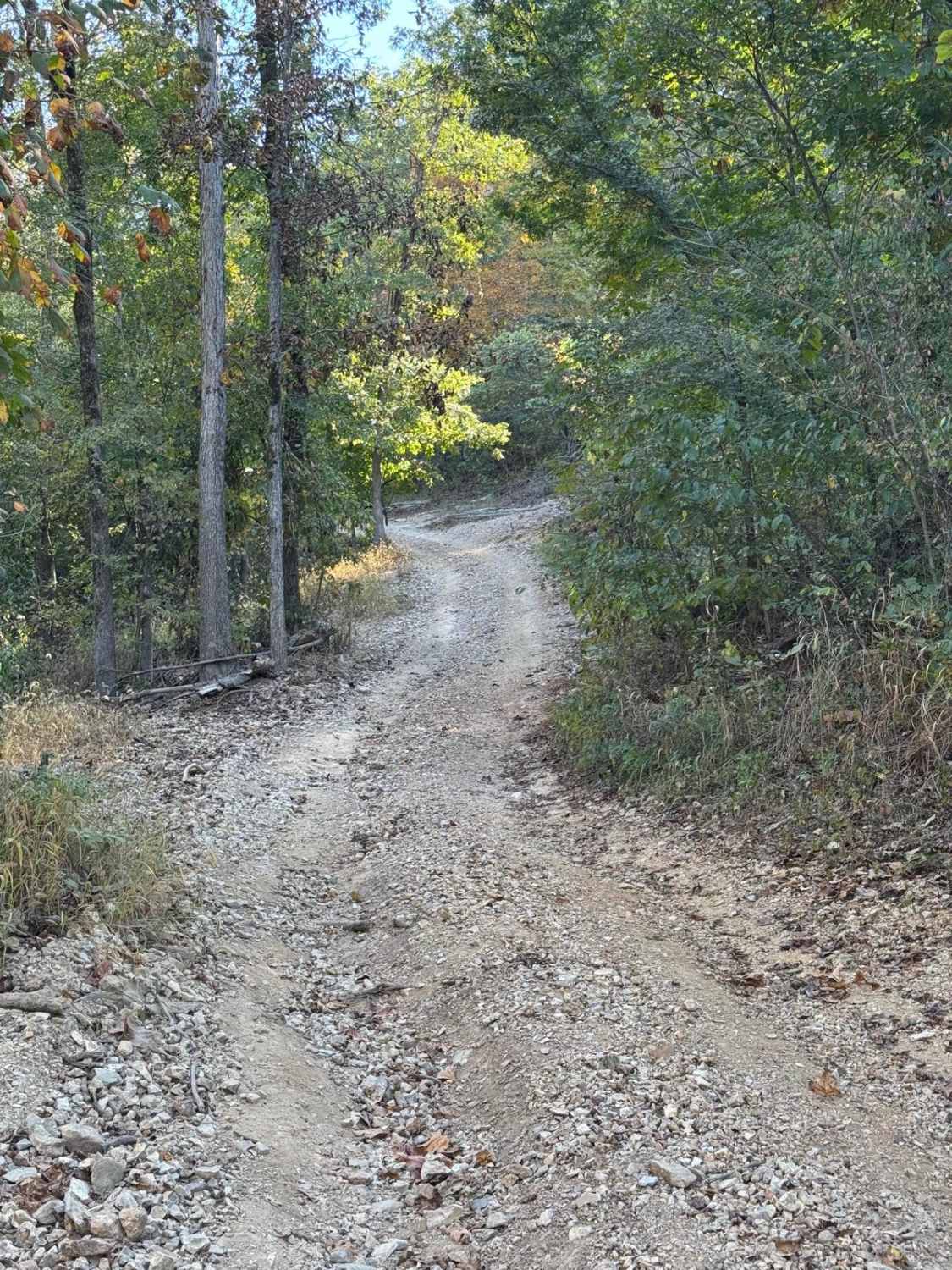
The Castor River Shut-ins Road, also known as Madison County Road 253, is a simple gravel road leading to the Missouri Department of Conservation Area of the same name. The road features smooth riding with well-maintained gravel, at the halfway point is the entrance to the parking lot for the Shut-ins, and the other half leads back on gravel to eventually become dirt, this leads to where the road used to naturally cross the Upper Castor River to Madison County Road 255, here you will find a big river bar and a massive tree covering where the road used to push through. Funny enough, this road is not the primary interest of the area, rather only means of transport, the main attraction is the destination, that being the Castor River Shut-ins, also known as Pink Rocks, one of Missouri's hidden gems, a landscape of natural granite rock with a river running through it, very scenic and unique well worth the .3-.5 mile hike.
Photos of Castor River Shut-Ins Road
Difficulty
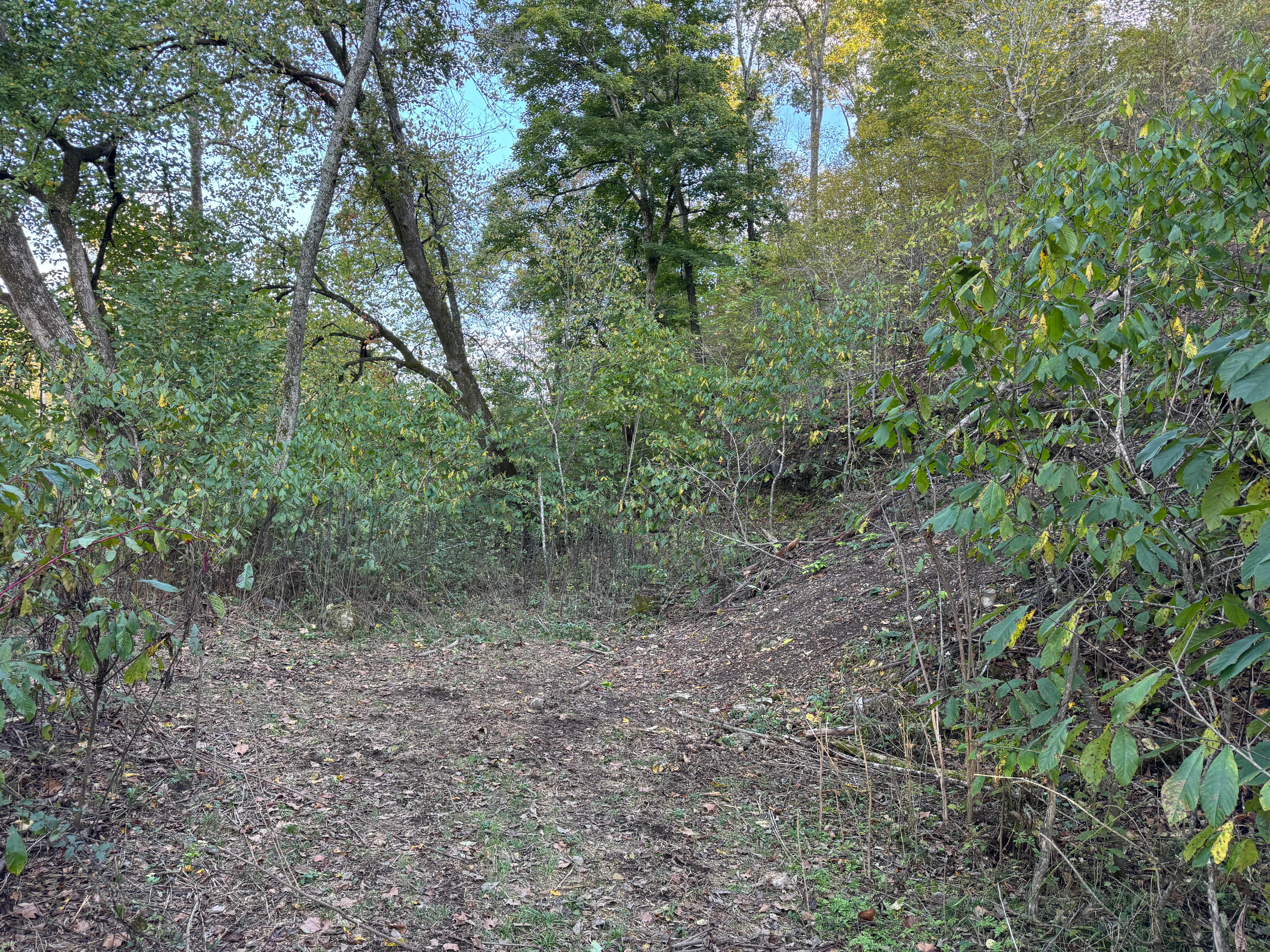
The road is simple and well-maintained, and the gravel section is nothing to worry about, if you chose to go back to where the road meets the Upper Castor is a different scenario, on that end of the road is dirt and soft due to being right next to the river, then the road drops off into some bedrock where the western edge of the river still cuts through, after this the creek bar is very soft and unpredictable, it is suggested to be walked rather than driven to the old river crossing location.
History
The strange presence of Granite in Missouri is surrounded by a few potential scenarios, either it formed from a once alive volcanic activity uniquely placed in Missouri (more likely) or did some remnants of another area get shifted here via ice caps pushing or an explosion throwing it across the lower 48 a long time ago (less likely). It's origins has to be one or the other. The stretch of this Granite is just a few counties, Elephant Rocks in Iron County is another great public display of Missouri Granite. For more info check out this Missouri Department of Natural Resources link. https://dnr.mo.gov/document-search/granite-pub2906/pub2906
Status Reports
Castor River Shut-Ins Road can be accessed by the following ride types:
- High-Clearance 4x4
- SUV
Castor River Shut-Ins Road Map
Popular Trails

Yellow 420

Lower Field Trail
The onX Offroad Difference
onX Offroad combines trail photos, descriptions, difficulty ratings, width restrictions, seasonality, and more in a user-friendly interface. Available on all devices, with offline access and full compatibility with CarPlay and Android Auto. Discover what you’re missing today!


