Compton 3144
Total Miles
5.3
Technical Rating
Best Time
Spring, Summer, Fall
Trail Type
Full-Width Road
Accessible By
Trail Overview
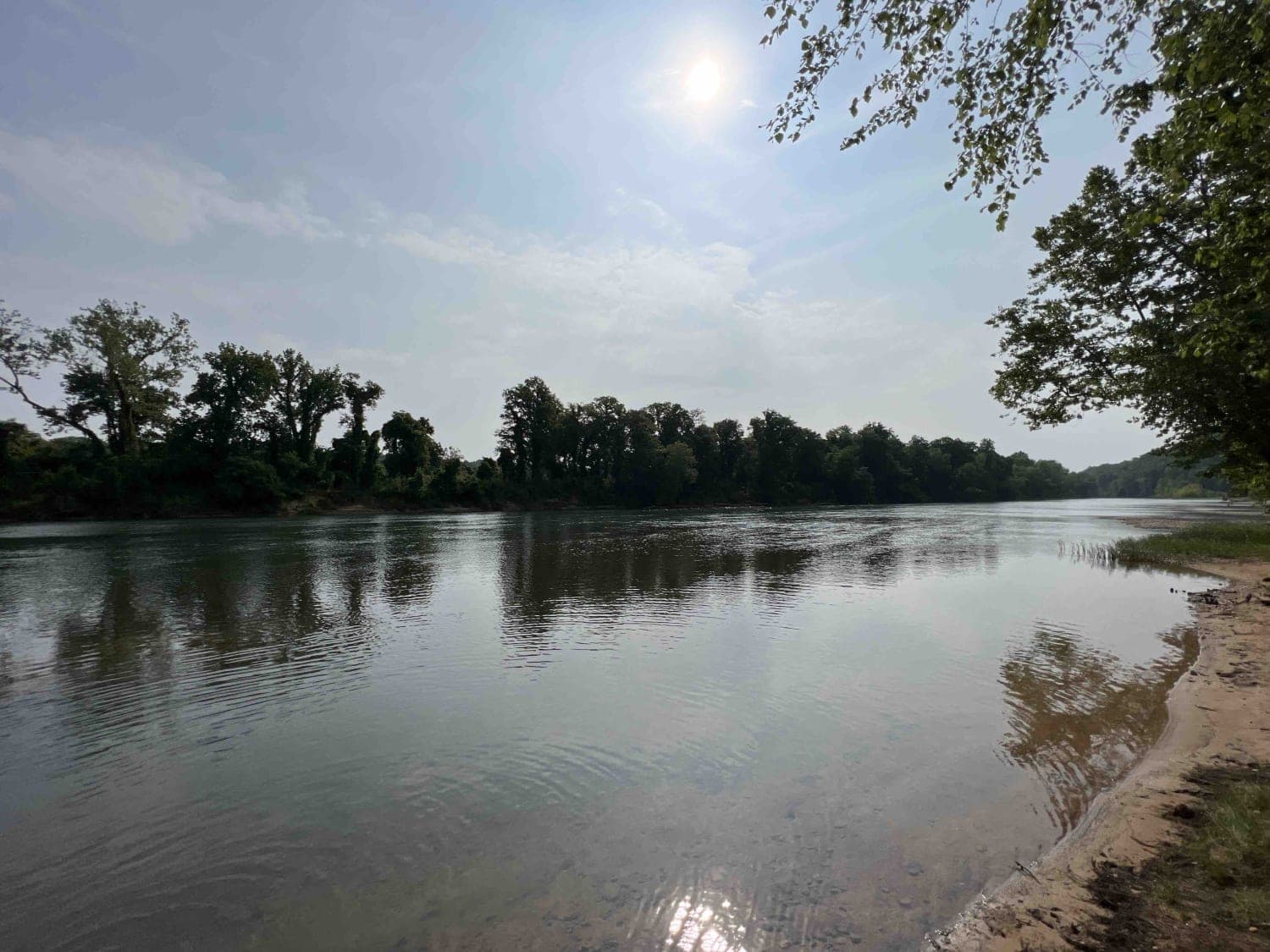
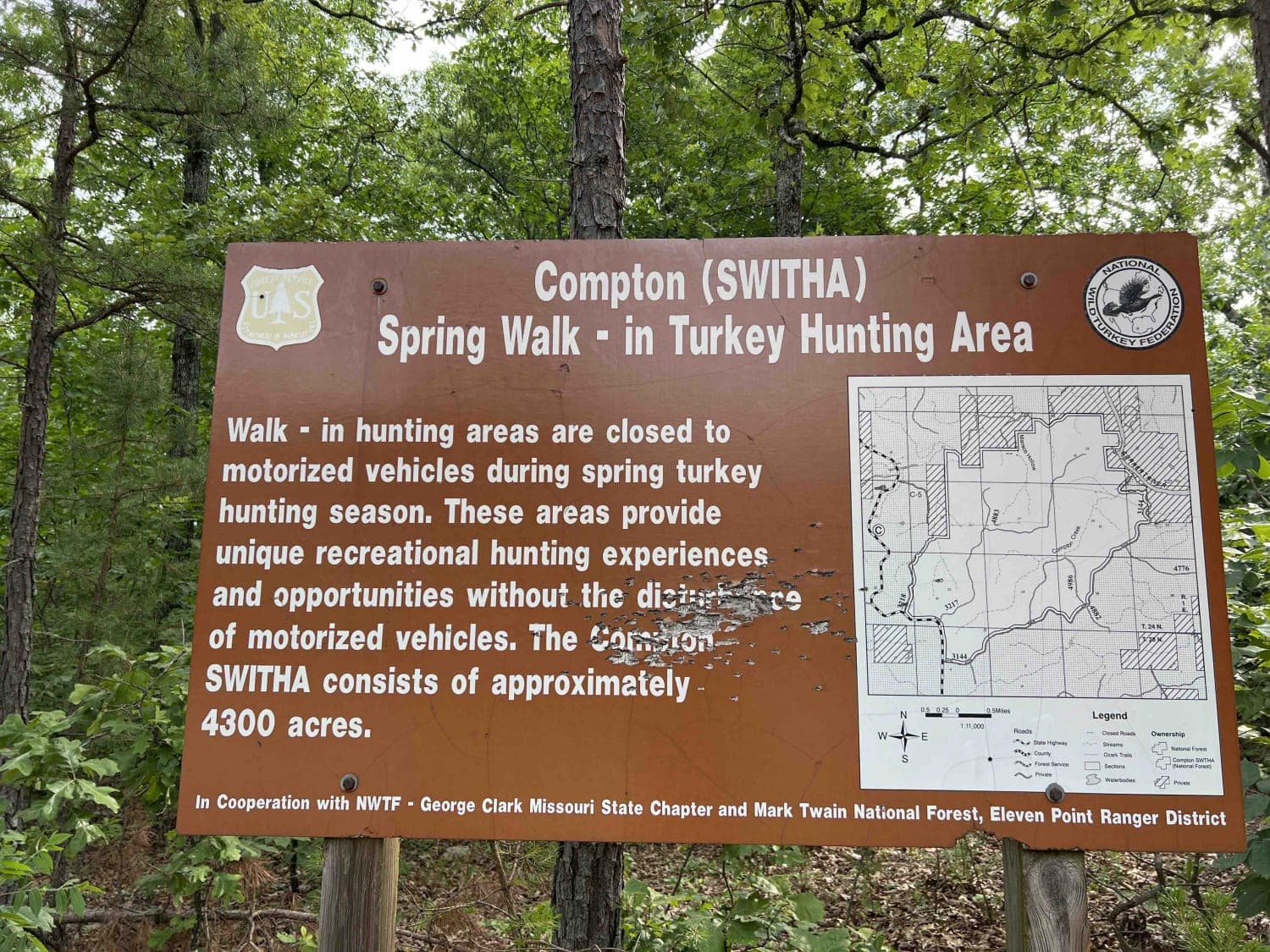
Compton 3144 is nestled in the beautiful and scenic Mark Twain National Forest located just west of Doniphan, Missouri. Compton 3144 is not advised for low clearance vehicles due to a water crossing right near the end of the trail. It's also really steep at the end and curves through the forest with really steep drop offs, and is a single lane road. The US Forest Service does a great job maintaining the well graveled roads, this being one of them. Once you get to the end of this trail there is a big open area for camping along the Current River. There is a boat launch area and motorized boats are allowed on this river. You can fish for Bluegill, channel catfish and largemouth bass. It's pristine clear water allows you to see pretty deep into the water which makes "floating" popular in this area as well. The dispersed camping areas are primitive with no running water or amenities. This is Missouri, as a local would say, so make sure to bring your bug spray. The Mark Twain NF is an ancient rainforest, it's enormous canopy goes on for miles. The Mark Twain NF is home to 650 native wildlife species one of which is the Box Turtle. Please note that they will be in the road all over this area. Please be careful to not hit them (they look like rocks on the road). This area in particular is called the Compton (SWITHA) Spring Walk in Turkey Hunting Area. During the Spring this area is closed to motorized traffic for Turkey hunting. Plant species in this area range from big bluestem, Indian grass, leadplant, cream wild indigo, white oak, red oak, sugar maple, lichens and mosses can also be found. This area can be best enjoyed during the summer and fall months winters in this area are pretty tough.
Photos of Compton 3144
Difficulty
The road is steep at the end before you reach the river. There is a water crossing as well which is sandy, and a low-clearance vehicle is not advised. Expect steep drop-offs, no guardrails, and a single-lane road.
History
Here is the history on the Irish Wilderness hiking area. https://www.fs.usda.gov/recarea/mtnf/recarea/?recid=21728The Current River is part of the Ozark National Scenic Riverway which is a conservation to preserve this area. Here you will find information on the vast river system in this area. https://www.nps.gov/ozar/more-than-just-the-rivers.htm
Status Reports
Compton 3144 can be accessed by the following ride types:
- High-Clearance 4x4
- SUV
- SxS (60")
- ATV (50")
- Dirt Bike
Compton 3144 Map
Popular Trails
Loto outer loop
Creek Crossing
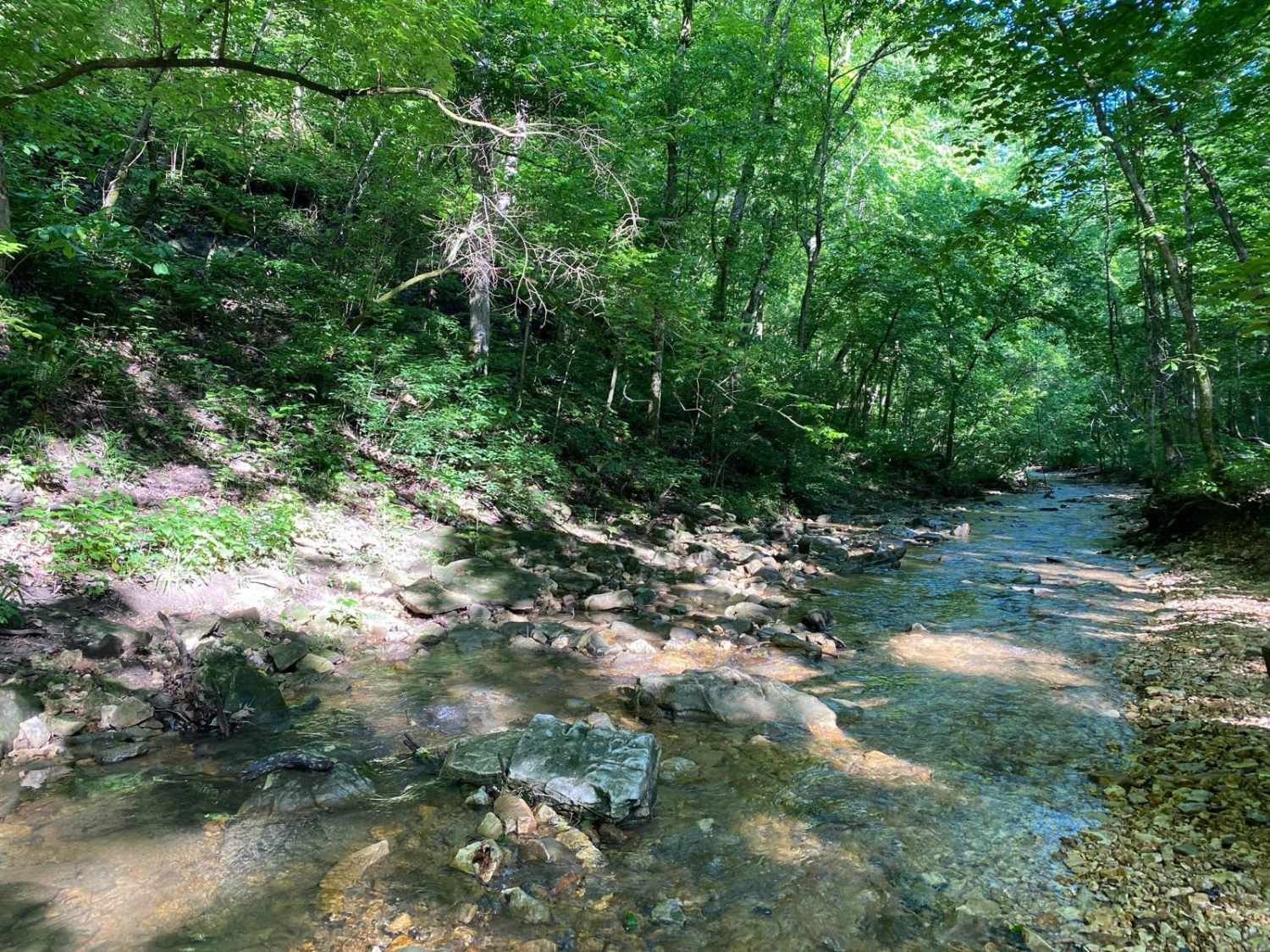
Whitey's Hideout
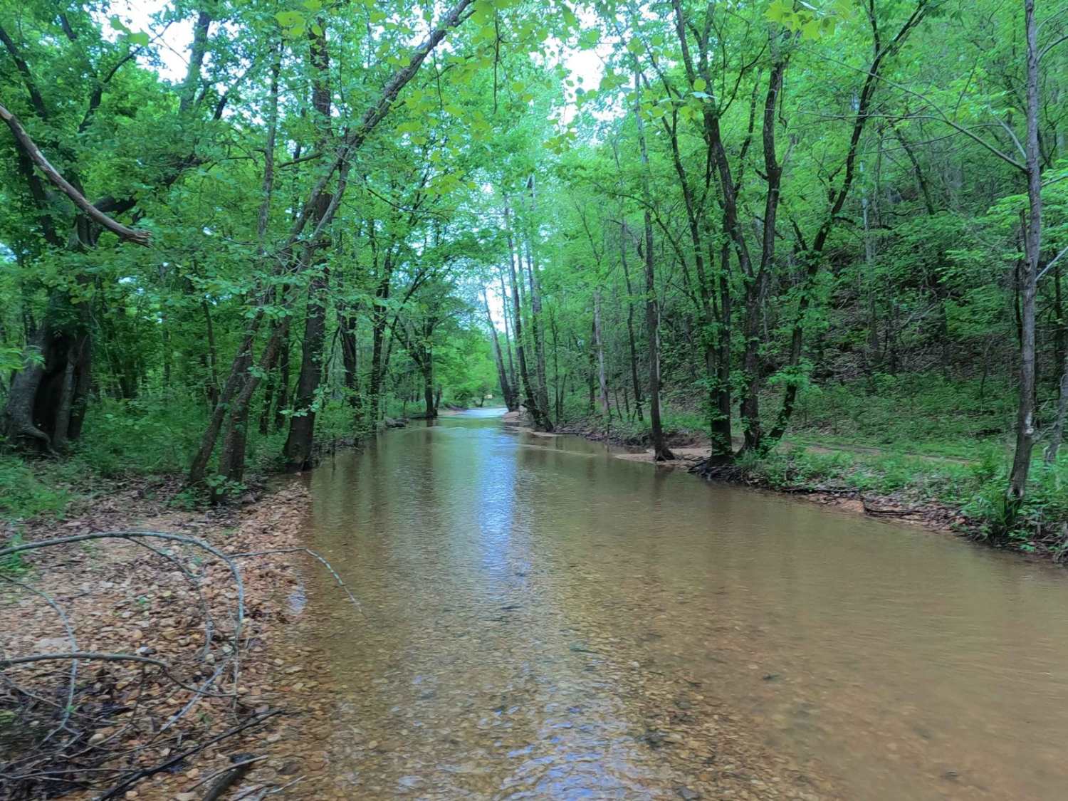
Hackworth Hollow Trail
The onX Offroad Difference
onX Offroad combines trail photos, descriptions, difficulty ratings, width restrictions, seasonality, and more in a user-friendly interface. Available on all devices, with offline access and full compatibility with CarPlay and Android Auto. Discover what you’re missing today!
