Crane Mountain FSR 2108
Total Miles
1.4
Technical Rating
Best Time
Spring, Summer, Fall, Winter
Trail Type
Full-Width Road
Accessible By
Trail Overview
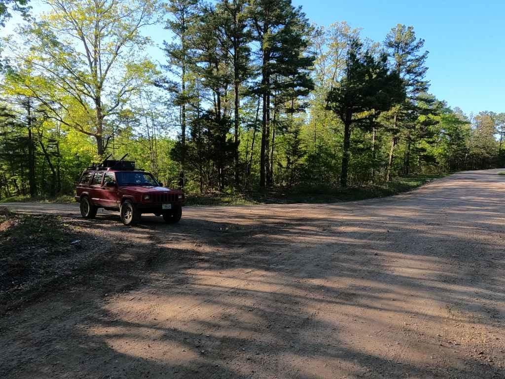
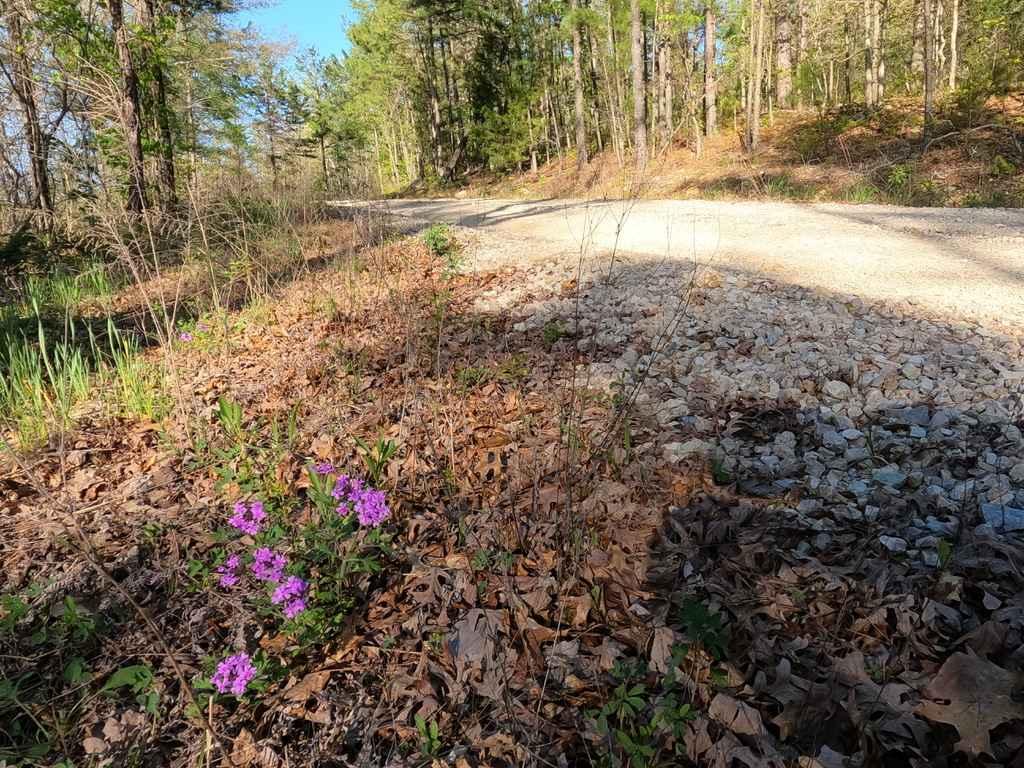
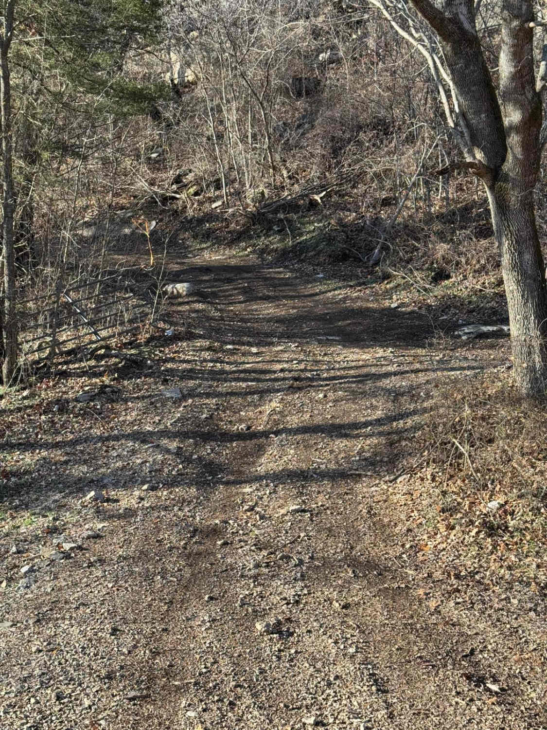
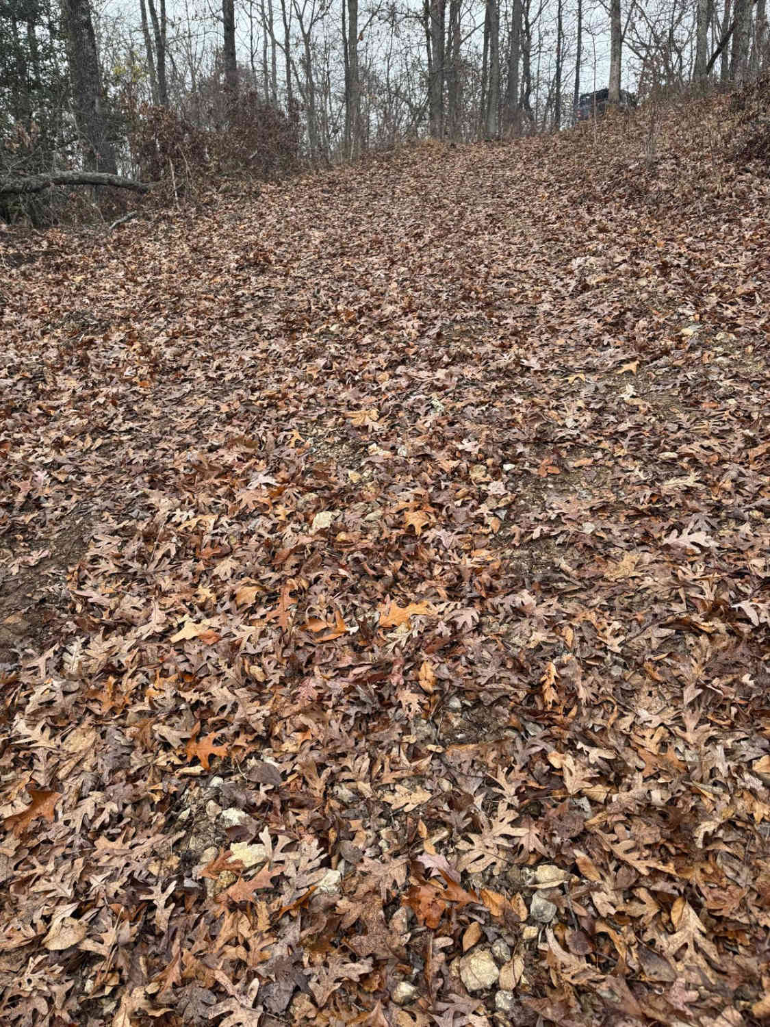
Crane Mountain FSR 2108 is a gravel forestry road through the St Francois Mountains in the Fredericktown Sector of Mark Twain National Forest. It is an easy-going gravel road, with two small creek crossings, shallow water collection spots, sections of course gravel/rock, and gradual graded hills. The road features the typical washboarding, mounding, and erosion rutting to be found on a forestry road.
Photos of Crane Mountain FSR 2108
Difficulty
The road is easy going, but does feature two small feeder creek crossings, that in the event of heavy rain could have a small amount of water in them, there is also a few small water collection spots, and the main hill climbs show signs of erosion rutting that could become worse between maintenances if the season was very rain filled.
Status Reports
Crane Mountain FSR 2108 can be accessed by the following ride types:
- High-Clearance 4x4
- SUV
Crane Mountain FSR 2108 Map
Popular Trails
Yellow 284
The onX Offroad Difference
onX Offroad combines trail photos, descriptions, difficulty ratings, width restrictions, seasonality, and more in a user-friendly interface. Available on all devices, with offline access and full compatibility with CarPlay and Android Auto. Discover what you’re missing today!
