FSR606 Brushy Ridge
Total Miles
4.0
Technical Rating
Best Time
Spring, Summer, Fall, Winter
Trail Type
Full-Width Road
Accessible By
Trail Overview
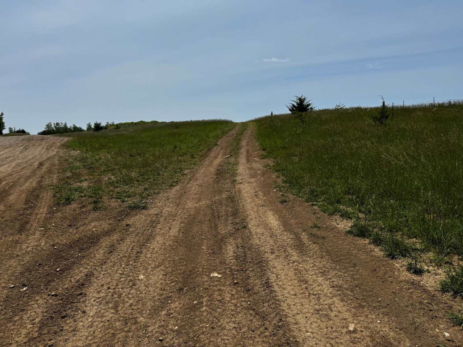
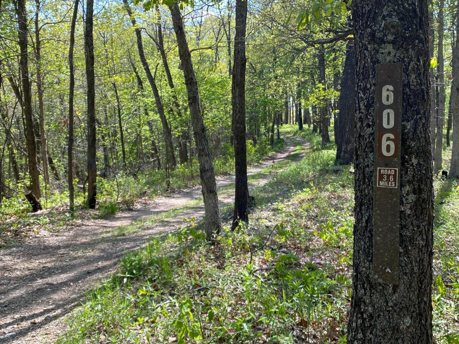
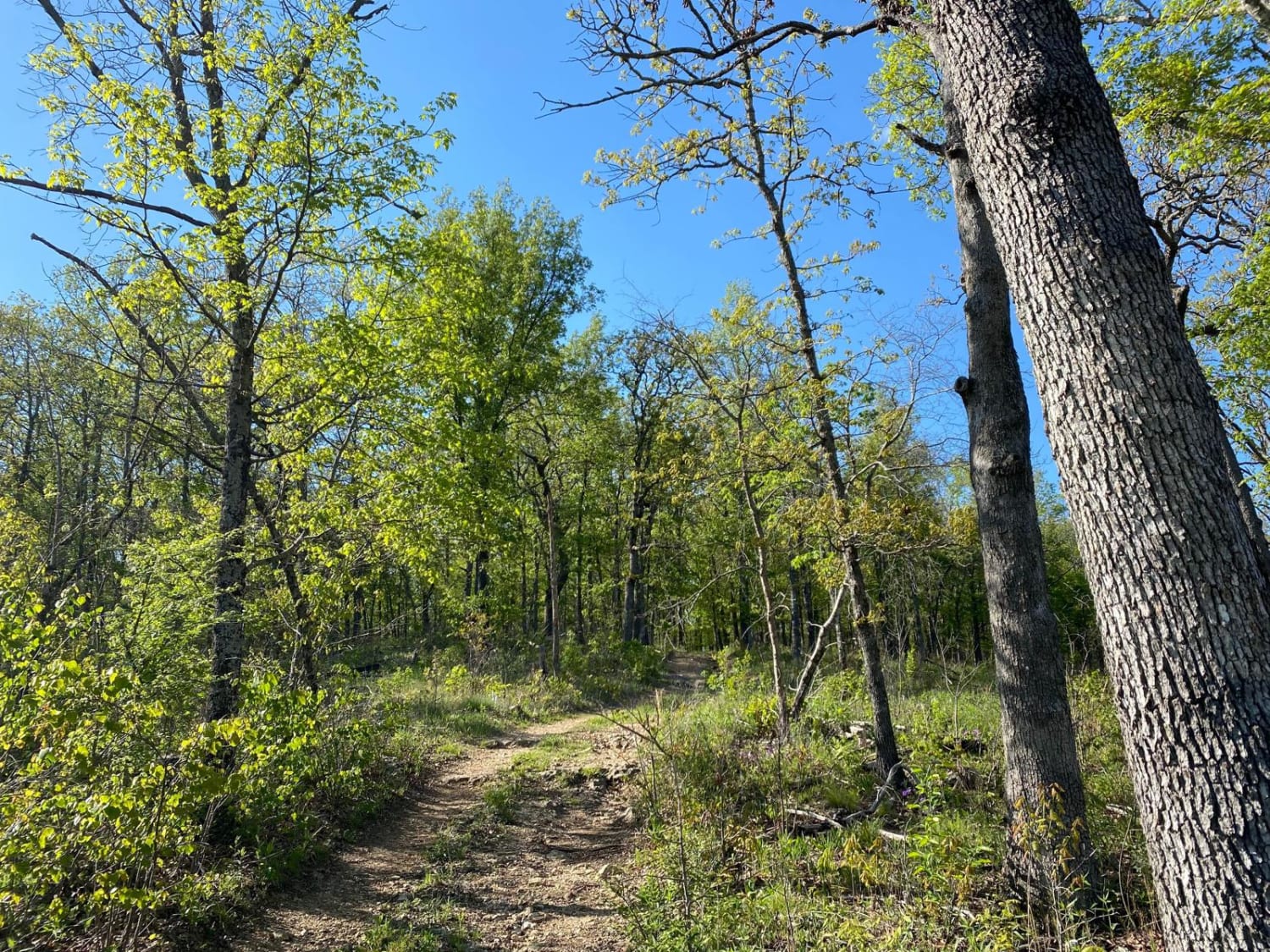
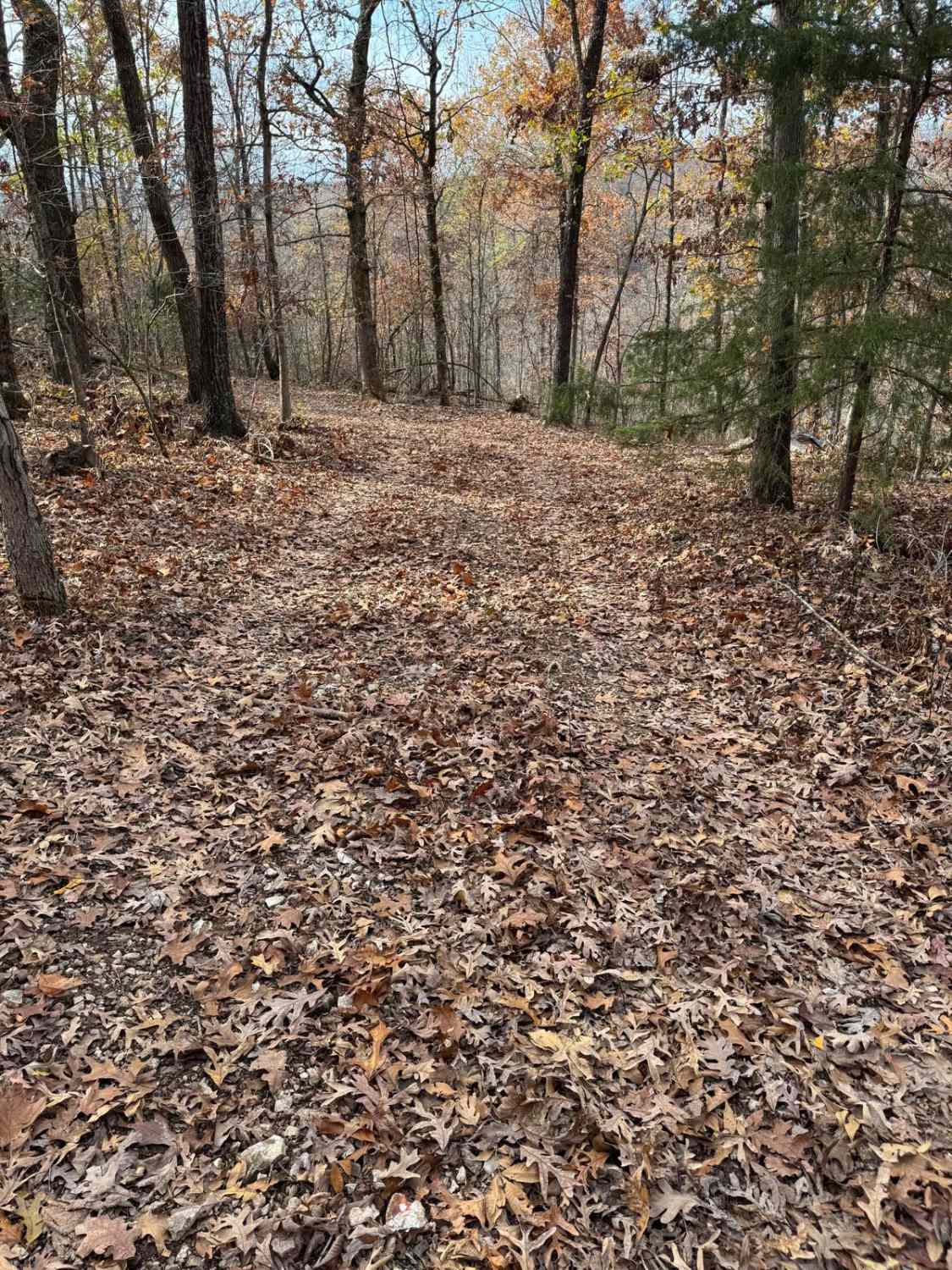
This is a short trail, but it will give you beautiful views of the Mark Twain National Forest. The trail runs through a mixture of woods and open areas along the ridge top, with a stream and field at the bottom. Most of the trail is rocky and has several tight spots so you are guaranteed to get some pin stripping/scratches on your rig. This trail goes out and back with two short spurs. The main trail and 606B spur end are just short of private property.
Photos of FSR606 Brushy Ridge
Difficulty
There is one spot with a rocky ledge to climb but there is a bypass if you don't feel comfortable with it. Recommend 33" tires and recovery gear is always a must when off-road. The trail could become more difficult in winter with ice and snow.
Status Reports
FSR606 Brushy Ridge can be accessed by the following ride types:
- High-Clearance 4x4
- SUV
- SxS (60")
- ATV (50")
- Dirt Bike
FSR606 Brushy Ridge Map
Popular Trails

Horseshoe Obstacle 1

Bad Decisions

Green 7 Boundary Run
The onX Offroad Difference
onX Offroad combines trail photos, descriptions, difficulty ratings, width restrictions, seasonality, and more in a user-friendly interface. Available on all devices, with offline access and full compatibility with CarPlay and Android Auto. Discover what you’re missing today!


