Grassy Tower Loop
Total Miles
4.6
Technical Rating
Best Time
Spring, Summer, Fall, Winter
Trail Type
Full-Width Road
Accessible By
Trail Overview
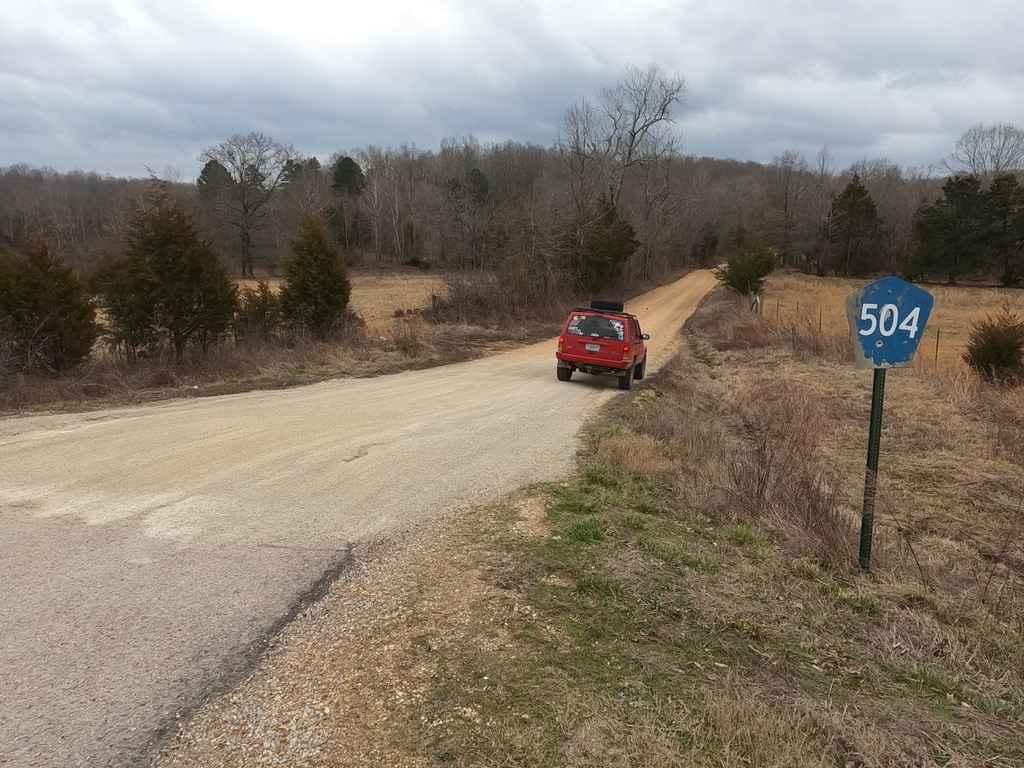
Grassy Tower Loop is compromised of 3 county roads off Missouri 34 that lead back to the original Grassy Towersite and Conservation Area of the same name. The Bollinger County roads 504, 506, and 508 compromise the loop to the tower site, though only the 508 is necessary to get there. The roads in the route feature course creek gravel, with a distinct orange glow, preparing for dust, dirt, and silt-like mud depending on the conditions.
Photos of Grassy Tower Loop
Difficulty
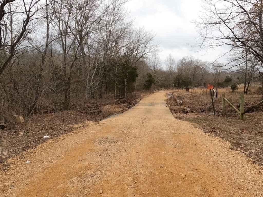
The Bollinger County course creek gravel roads are less than stellar, and go unmaintained for good portions of the year. They feature spots that the gravel washes and the road becomes dirt, there are also spots the gravel is soft and mounds, and lastly there is washboarding and potholes frequently. During wet conditions there will be water run off coming down the hills along side the roads and there is one low water bridge, but the bridge looks to rarely be covered with water. This all brings a little excitement above the normal backroad experience.
History
The only history that could be found was that the tower was bought privately and moved west of Ellsinore, MO. Dates unknown.
Status Reports
Popular Trails
Castor River CA Camp Road
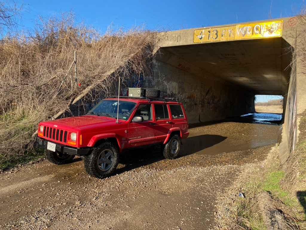
I-155 Tunnel Crossing
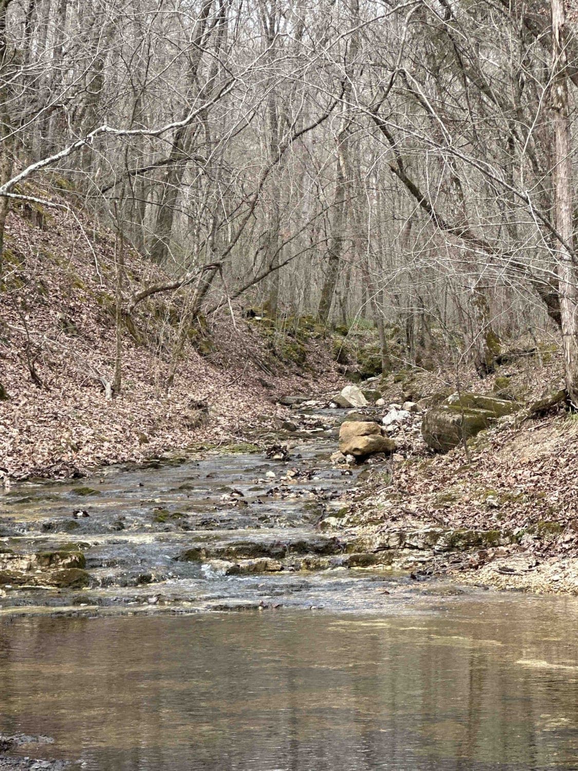
Bald Road to Western Road
The onX Offroad Difference
onX Offroad combines trail photos, descriptions, difficulty ratings, width restrictions, seasonality, and more in a user-friendly interface. Available on all devices, with offline access and full compatibility with CarPlay and Android Auto. Discover what you’re missing today!
