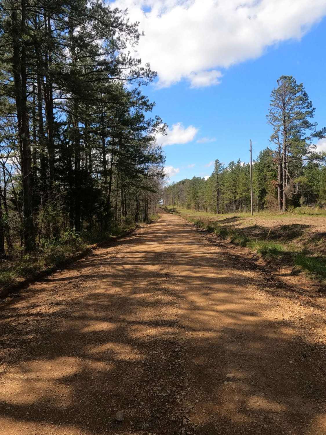
Grisham Road
Total Miles
5.0
Elevation
246.55 ft
Duration
0.5 Hours
Technical Rating
Best Time
Spring, Summer, Fall, Winter
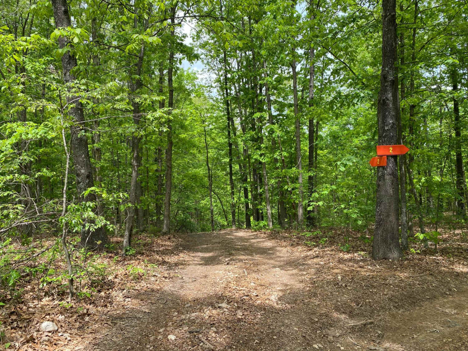
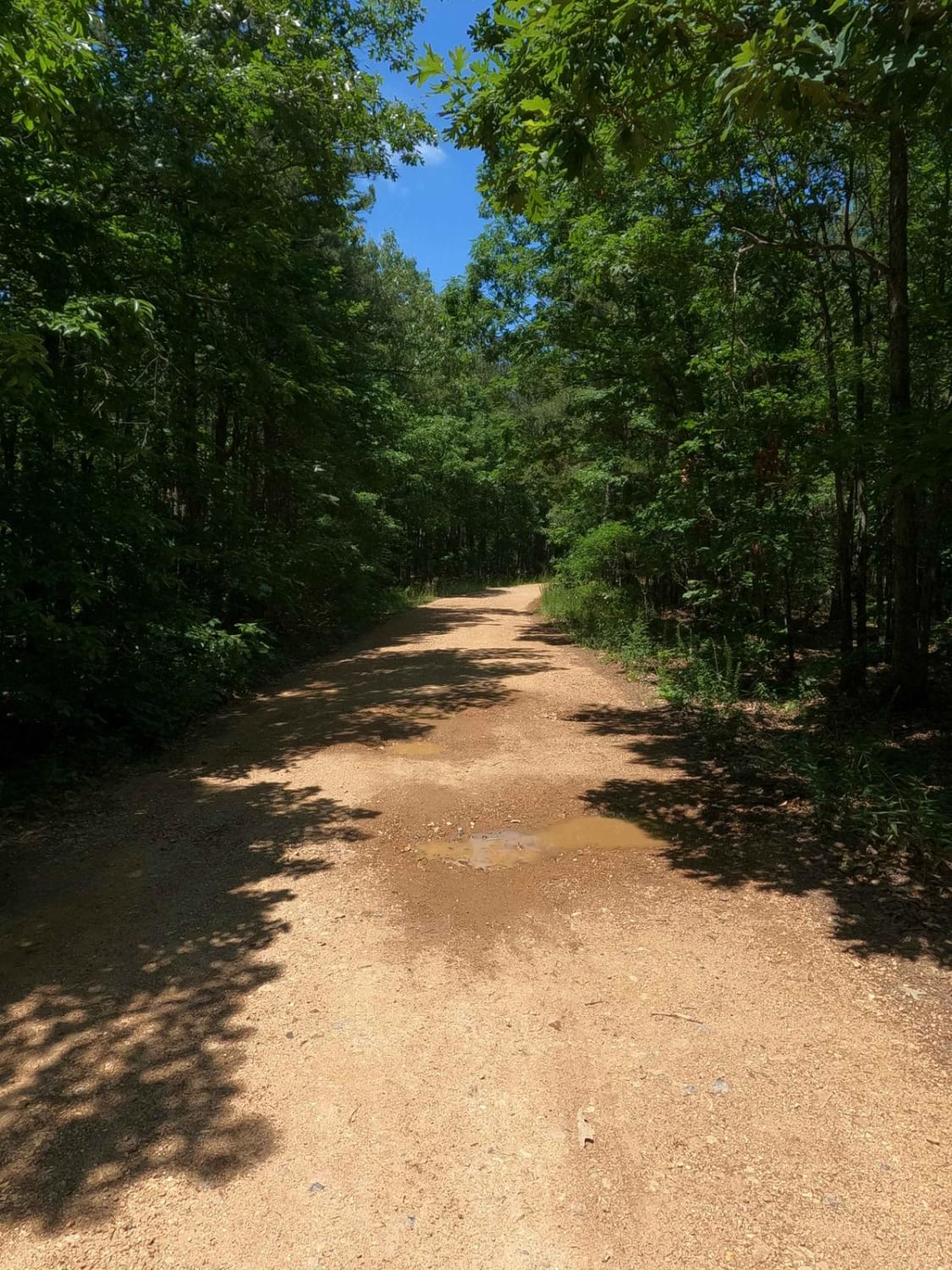
Trail Overview
Grisham Road, part of Bollinger County Road 840 and Madison County Road 324, is a creek bottom road of the Crooked Creek valley, ultimately traversing the ridge tops on either side of said creek. The road features scenic views of the Missouri countryside, featuring a rustic church, old structures, distant views from the hilltops, and peaceful water trickling in the valley. The road is well maintained on either end of the creek bottoms, but in the bottoms the natural side comes out, featuring large cobbles, coarse loose gravel, water crossings, and natural rock at the surface. this is a fun road with a wide spread of enjoyment, from the ride, and the sights, to sitting in the stream and taking a cool swim. When enjoying the area, please take note of the forecast, flash flooding is very potential in heavy rains, and the creek will rise with any local upstream rain.
Photos of Grisham Road

Difficulty
Grisham Road is given a 3/10 base rating, due to the featured creek-bottom road section that crosses the Crooked Creek, normal average conditions will have a depth of 9" to 1 foot at the main crossing, with a slow current. Difficulty can significantly increase when the crossing increases in depth due to any upstream rain, especially heavy rain and storms. Check the forecast, and approach the crossing with some caution if it has rained within a week. Outside the main crossing, the creek bottoms feature large scattered cobbles, loose coarse gravel, mild erosion, and other small water crossings and splashes at the low water bridge. The hills on either side of the creek have mild grades leading to the ridge tops.
Status Reports
Popular Trails

Skagway Road
Chloride Ridge FSR 2112

Wayne County Road 537
The onX Offroad Difference
onX Offroad combines trail photos, descriptions, difficulty ratings, width restrictions, seasonality, and more in a user-friendly interface. Available on all devices, with offline access and full compatibility with CarPlay and Android Auto. Discover what you’re missing today!