Johns Creek FSR 2170
Total Miles
2.2
Elevation
283.65 ft
Duration
0.5 Hours
Technical Rating
Best Time
Spring, Summer, Fall, Winter
Trail Overview
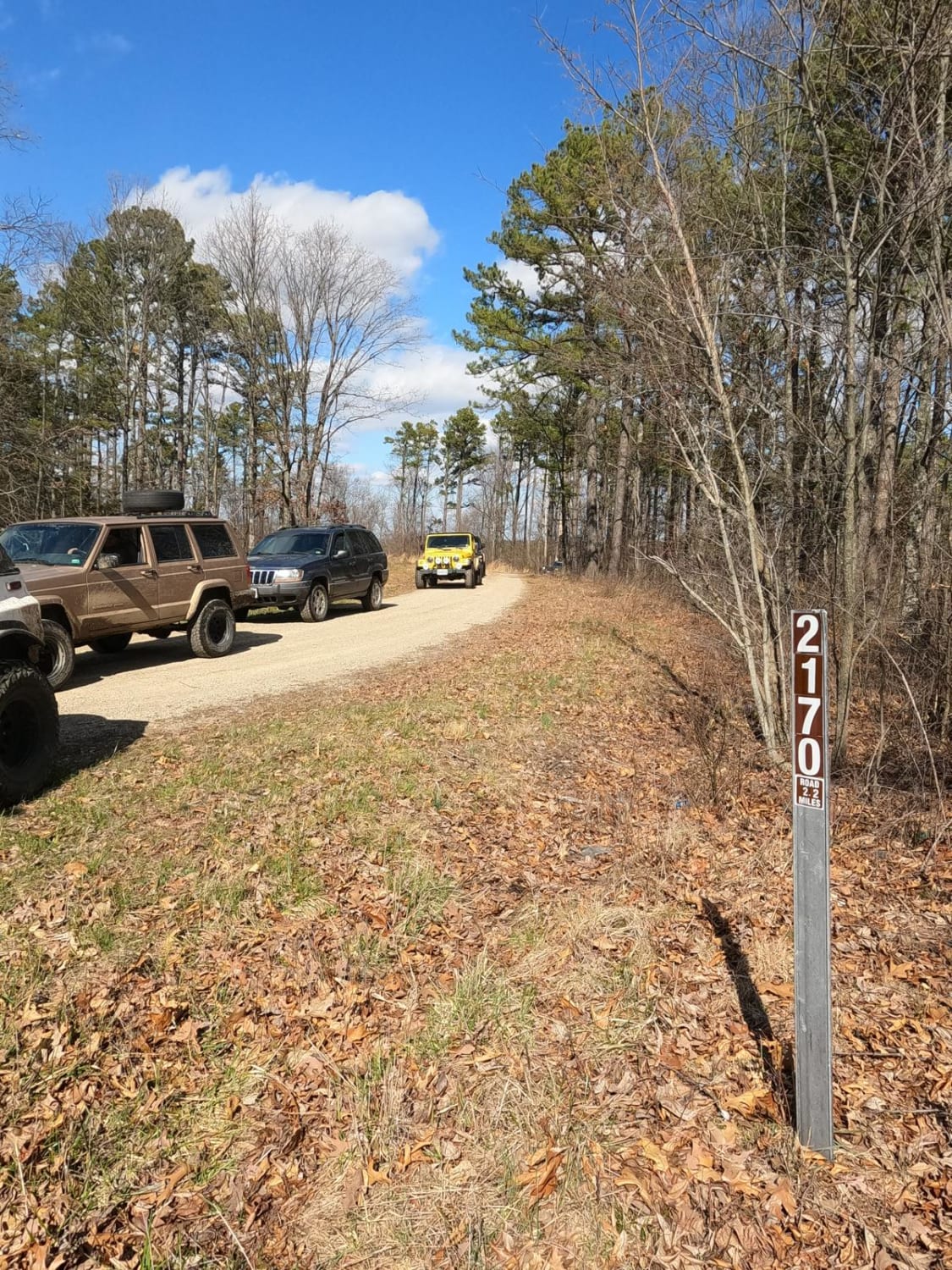
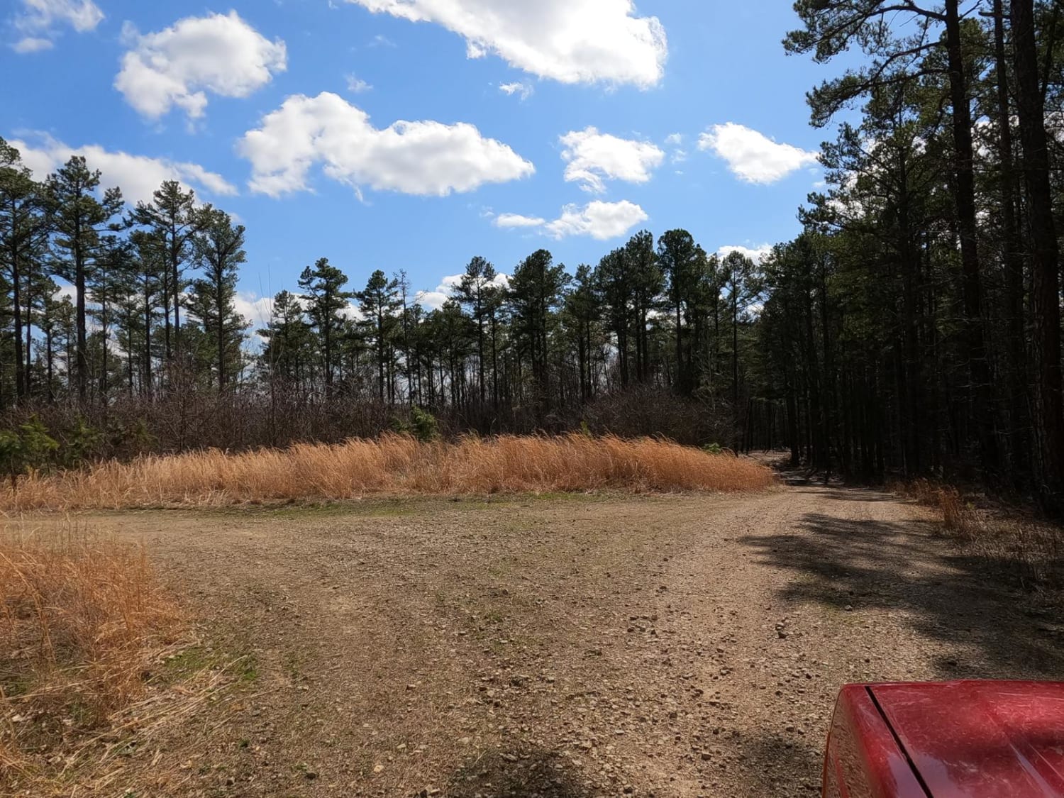
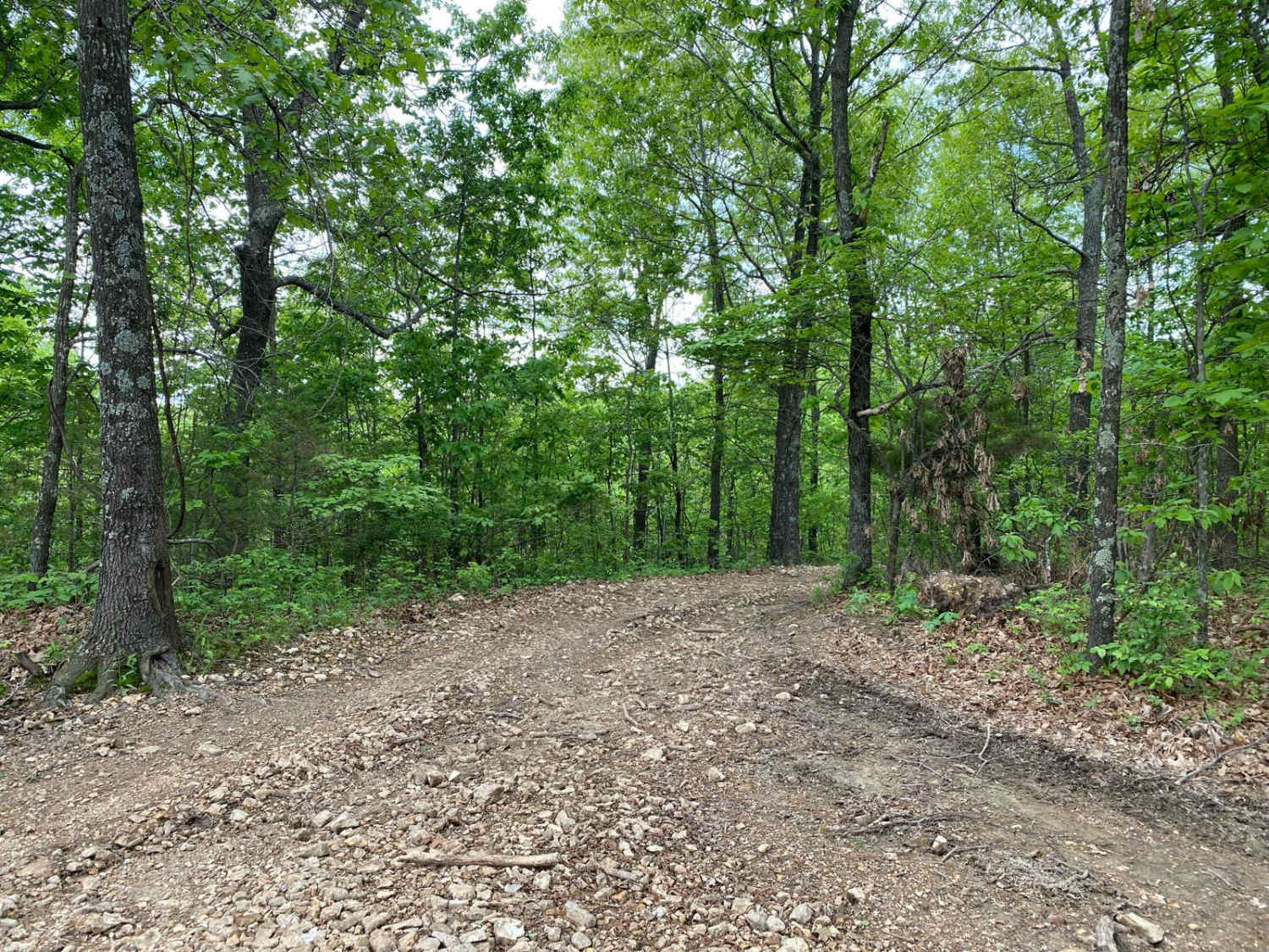
Johns Creek FSR 2170 is a half gravel half dirt forestry route through the northeasternmost section of Mark Twain National Forest, which resides in lower Ste Genevieve County Missouri. The trail is focused on being a hunting destination, full of campsite cutouts amongst the tall pines, and is generally a smooth easy going road. It does still have a subtle offroad element to it. Over the 2.1 miles, there is a general downhill grade into the lower valley that hosts Johns Creek, though the road never makes it to the creek itself. The road features deep potholes, mild water collection spots, mild ruts, and a road that seems to fade to dirt in many spots. At the end of the road, there is a decent turn-around loop to turn around even larger rigs and safely head back out.
Photos of Johns Creek FSR 2170
Difficulty
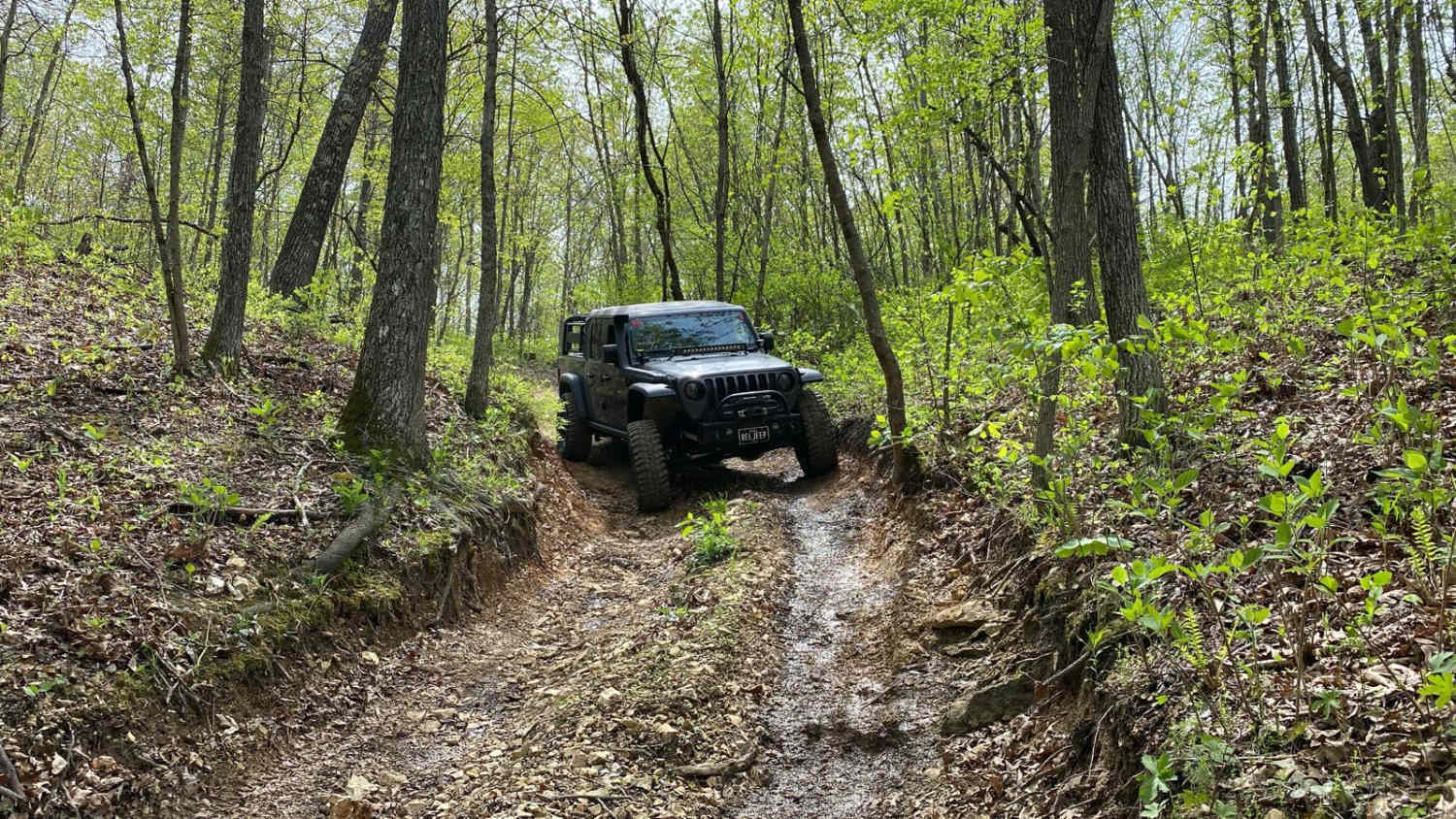
The main difficulty of this road is if it is wet, the spots that fade to dirt can become soft and slick when wet but should be easy to navigate as long as you are mindful of the potholes that are deceptively deep. The rest of the difficulty is the common Forest Service Road scenarios, being gravel mounding, mild water collection spots, and washboarding. The road is scenic and generally a breeze to drive.
Popular Trails
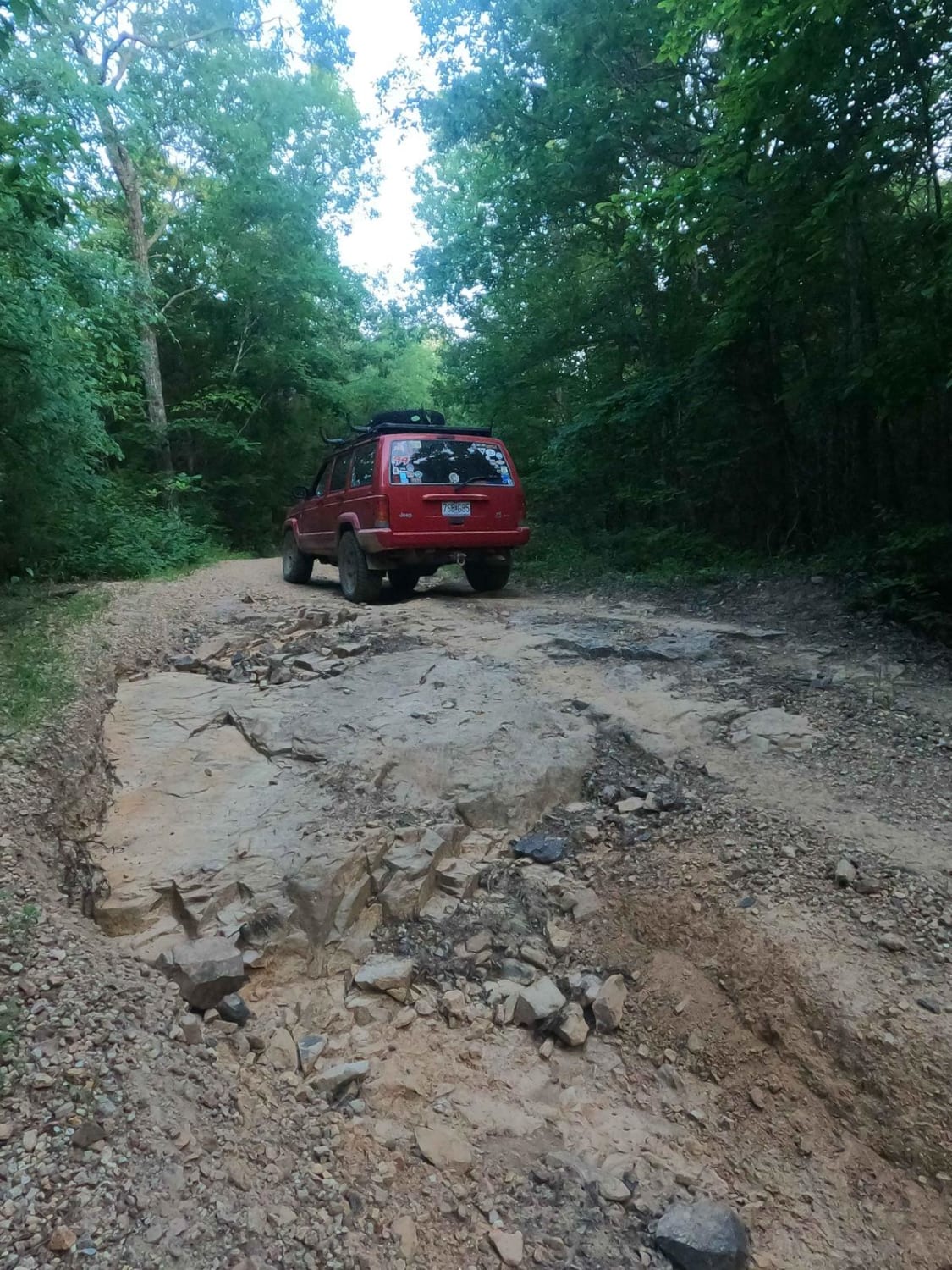
Arnett Mountain FSR 2191
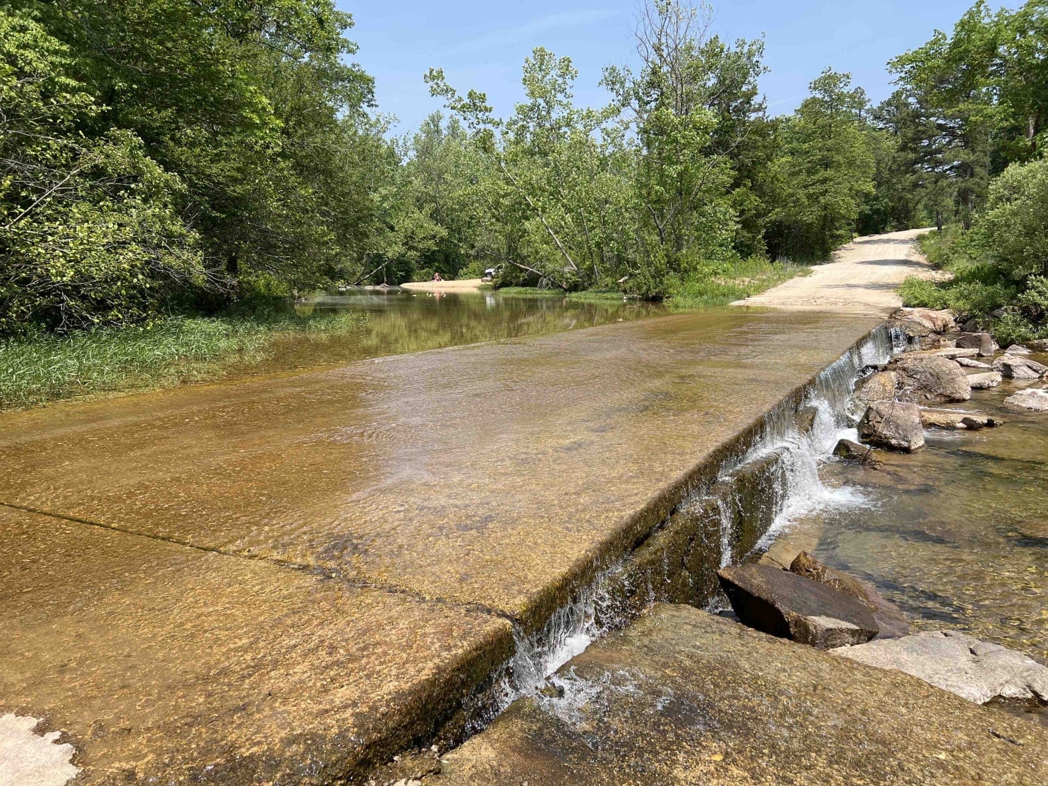
Buick Truck Trail 2231
The onX Offroad Difference
onX Offroad combines trail photos, descriptions, difficulty ratings, width restrictions, seasonality, and more in a user-friendly interface. Available on all devices, with offline access and full compatibility with CarPlay and Android Auto. Discover what you’re missing today!
