K-Bridge West
Total Miles
4.9
Technical Rating
Best Time
Spring, Summer
Trail Type
Full-Width Road
Accessible By
Trail Overview
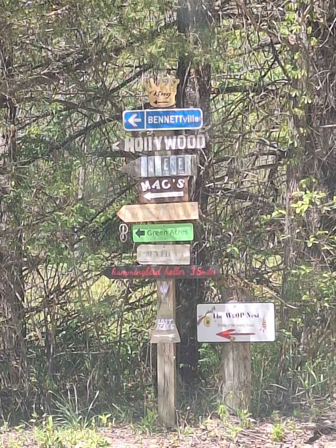
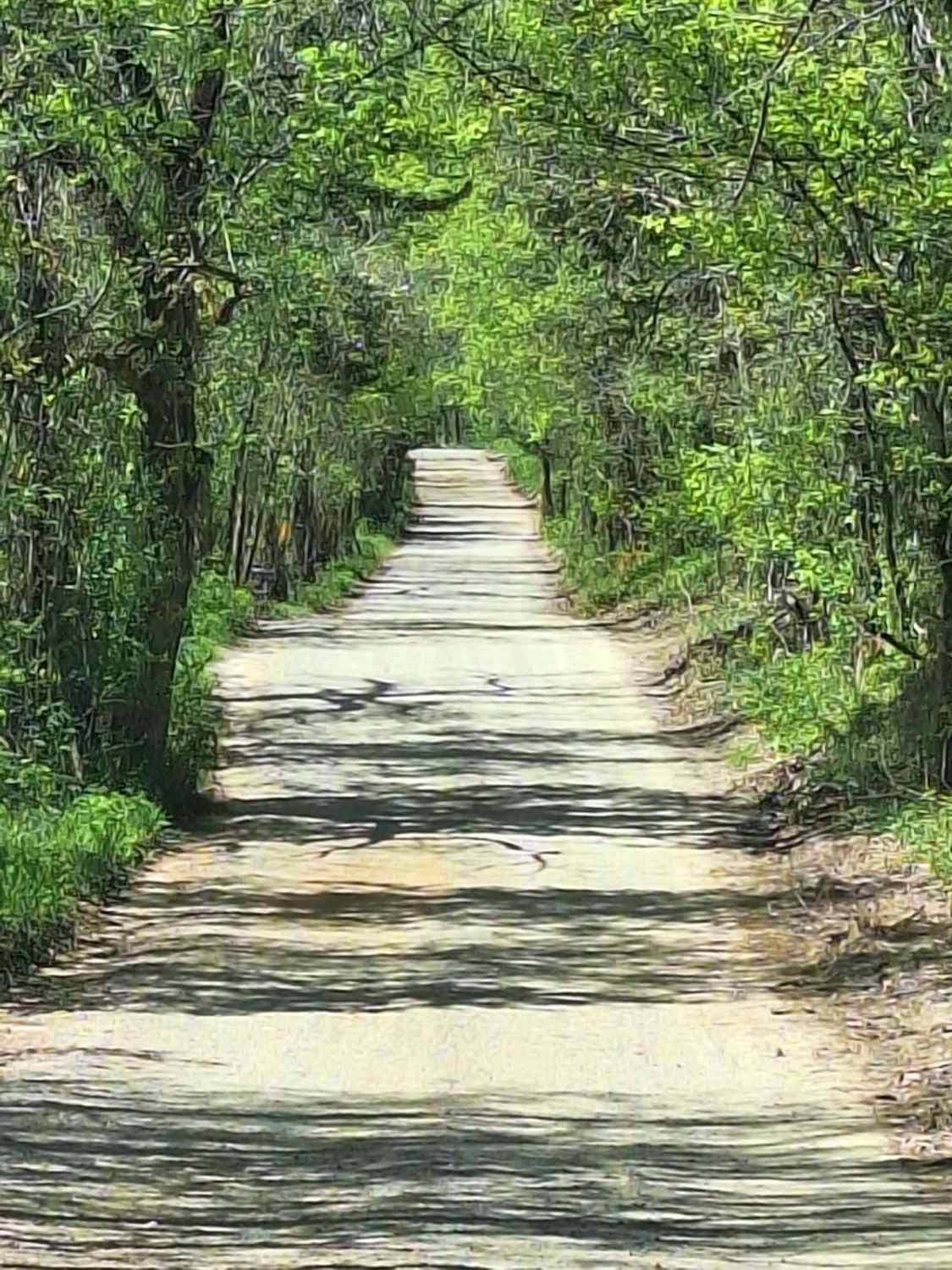
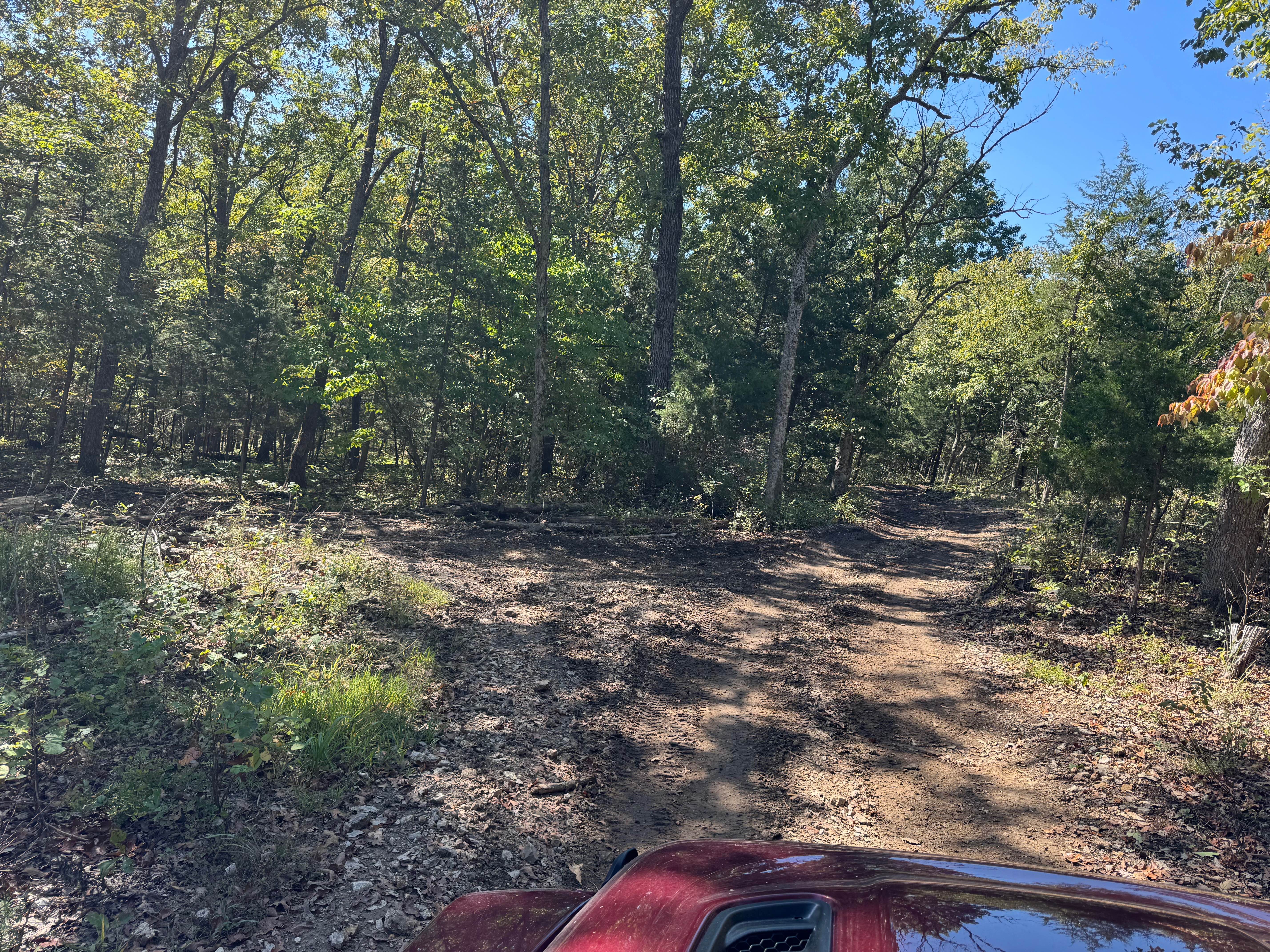
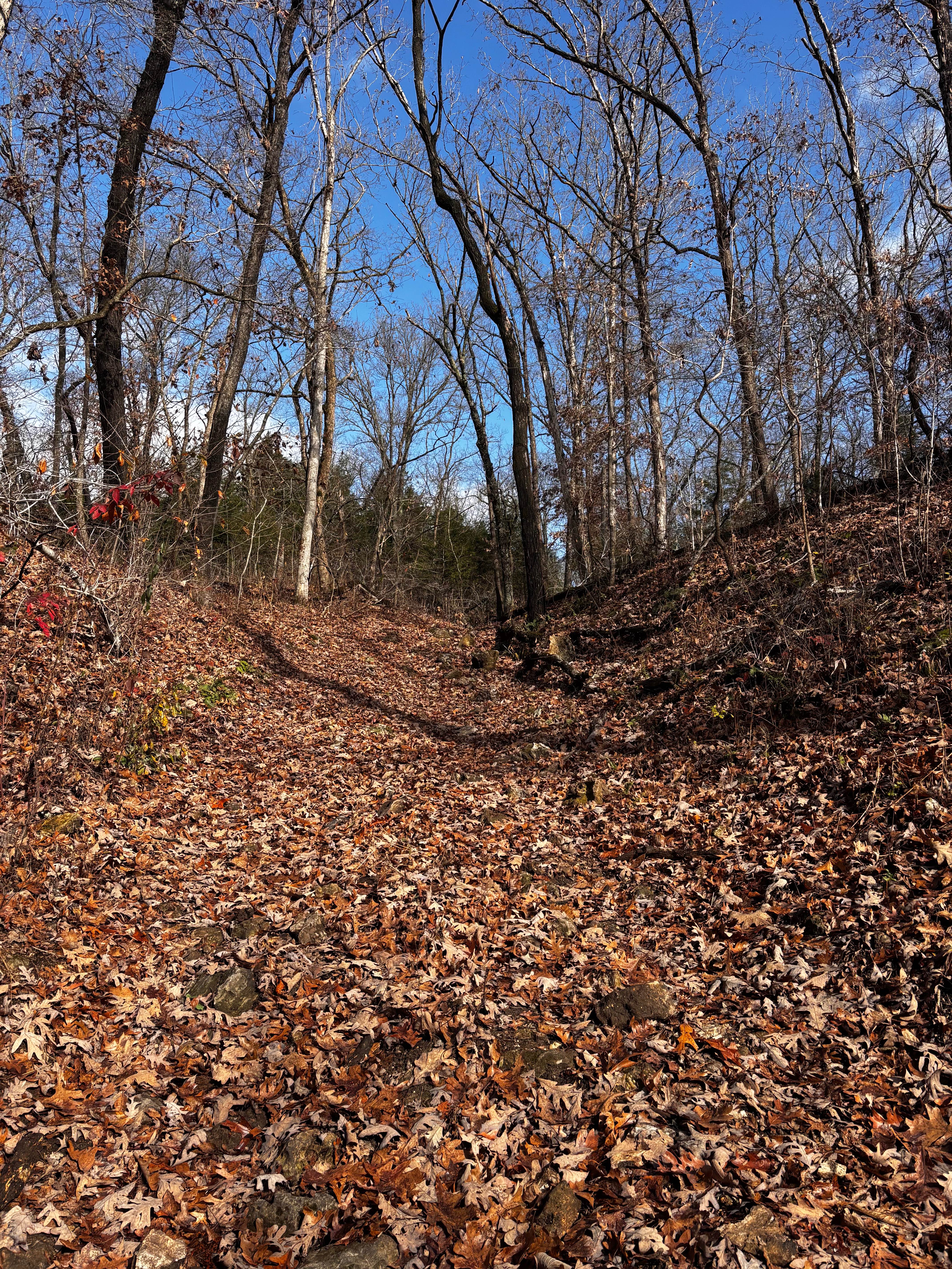
This road starts as an asphalt road (.08 miles) at the K Bridge West entrance. There is a campground to your right and a "day use" area at your left that leads down to the river. This road follows CR 452 until your turn at CR 442. As you come off the asphalt, you will find yourself on a well-maintained gravel road. Be cautious as there are some private residences on this road. There is another small section of asphalt (.08 miles) that was added by the county a few years ago. Once back onto the gravel, there are a few tight turns to be cautious of. Once you make the left-hand turn down into the creek, it is all unmaintained creek gravel/dirt road. This road will lead you down to the river with an amazing view and a wonderful place to spend the day or play in the water. Many little off shoots can be taken as well.
Photos of K-Bridge West
Difficulty
The trail is maintained gravel until the creek crossing. Then it becomes a creek gravel and dirt road.
Status Reports
K-Bridge West can be accessed by the following ride types:
- High-Clearance 4x4
- SUV
- SxS (60")
- ATV (50")
- Dirt Bike
K-Bridge West Map
Popular Trails

Yellow 199

Coot Tower - SCR 216
The onX Offroad Difference
onX Offroad combines trail photos, descriptions, difficulty ratings, width restrictions, seasonality, and more in a user-friendly interface. Available on all devices, with offline access and full compatibility with CarPlay and Android Auto. Discover what you’re missing today!


