Long Ridge Road
Total Miles
2.8
Technical Rating
Best Time
Spring, Summer, Fall, Winter
Trail Type
Full-Width Road
Accessible By
Trail Overview
Long Ridge Road (Reynolds County Road 462 and Iron County Road 151) is a coarse gravel county road providing access to the northeast portion of the Black River Bottoms area within the Clearwater Lake U.S. Army Corps of Engineer Land. The road starts from Missouri Route-BB, 0.1 miles east of the Funk Tower Road. From here, it heads west down the Iron County Road 151 portion of the road, curving and floating along the ridgetops' rolling hills, first passing the Woot Middleton Road 151A and second passing the east Iron County Road 152 side of the Singer Road, the halfway point. The next noteworthy point in the trail is the Iron and Reynolds County line at 37.28510, -90.75326, before passing the forked end of Reynolds County Road 460 portion of the Singer Road, shortly after meeting the west endpoint at the intersection of Stacked Log and Hackworth Hollow Trails at 37.28381, -90.76018. It's a logistical road worth knowing to get into the north center bottoms or meet and coordinate a ride, especially in times of flooding or if you want to avoid the creek bottom roads.
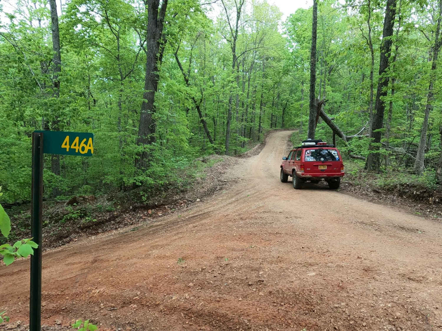
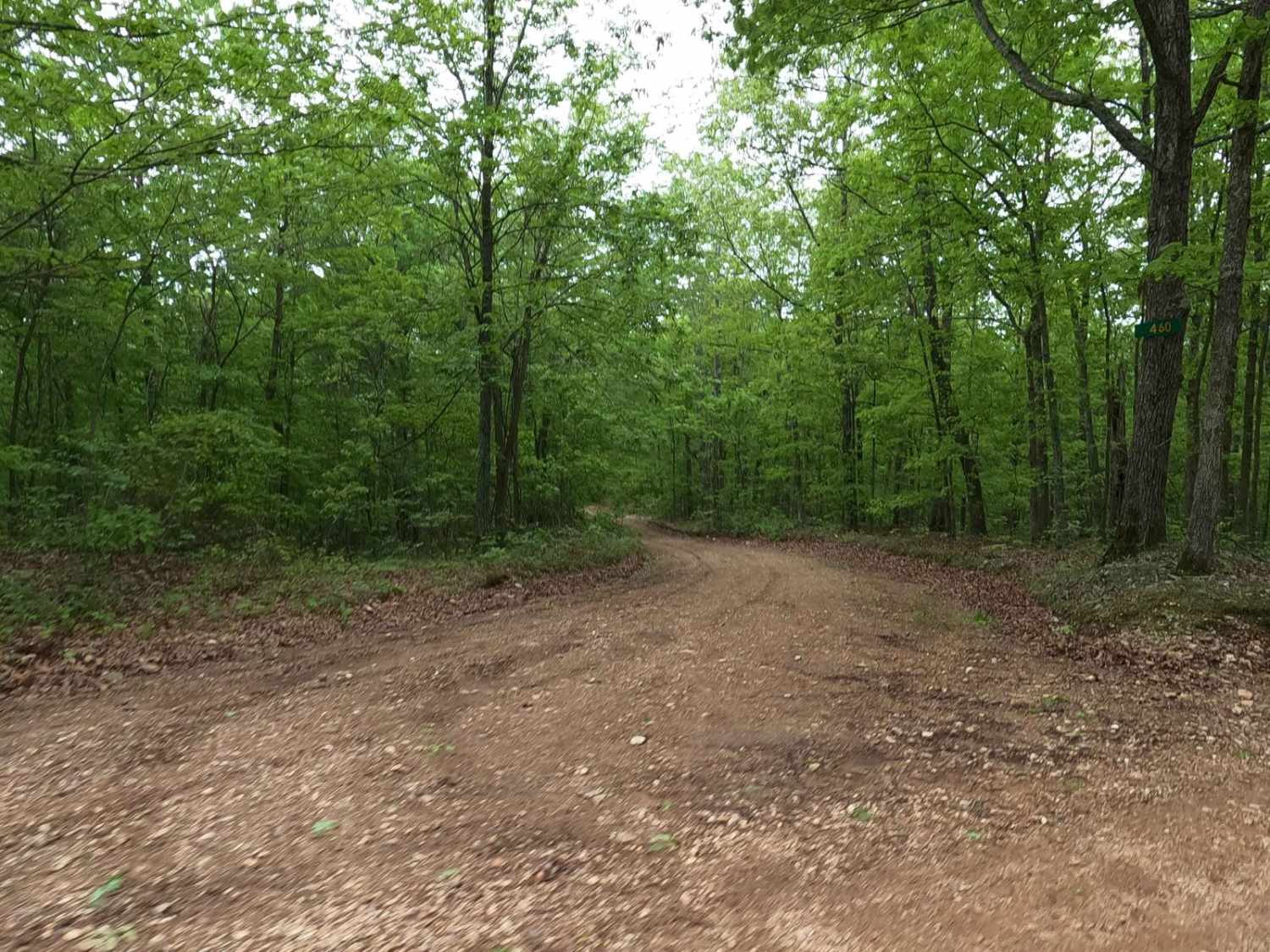
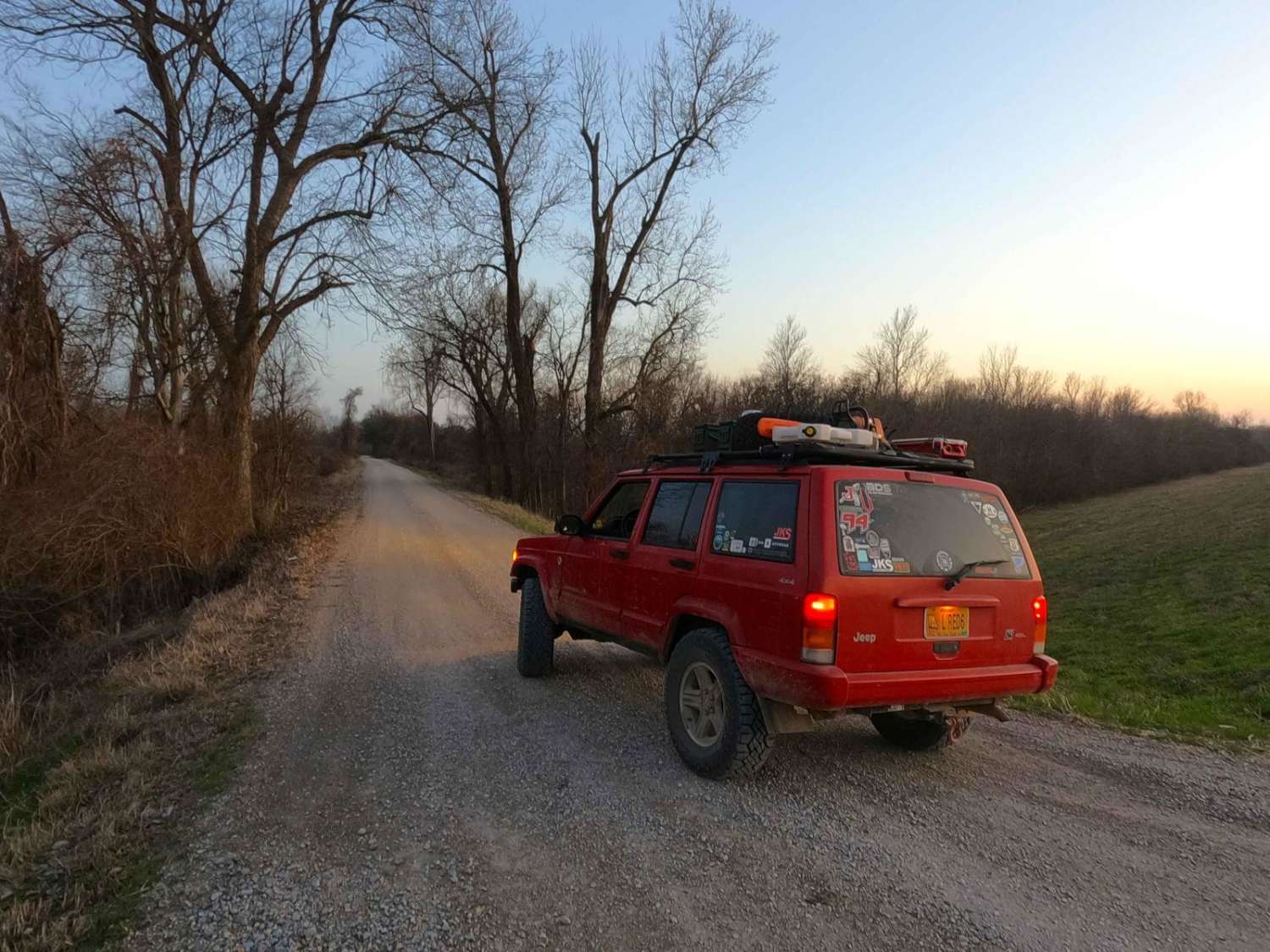
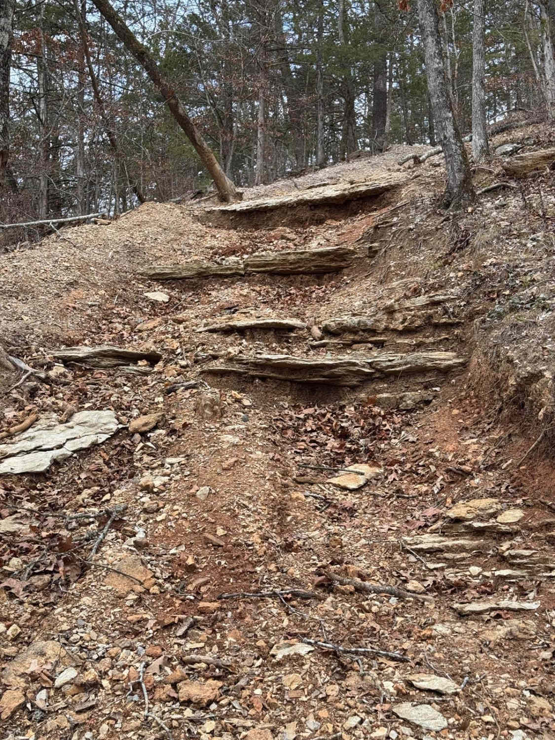
Photos of Long Ridge Road
Difficulty
Long Ridge Road is very simple and mostly scenic. The main portion of this road is a maintained 1/10 rated gravel road featuring coarse gravel with occasional exposed natural rock appearing at the surface. It has mild grades both up and down, washboarding, potholes, and mounding in times of heavy use in between maintenance cycles.
History
The history surrounding the bottoms is one of fighting for public access. This is an example where the presence and public use of Reynolds County Roads 464, 462, 460, 458, 456, 446A, and more have been the driving force keeping these trails open. Locals refuse to let their historic roads be taken away, yielding a place we all can enjoy and use. Please do your part in keeping this place alive; pack it in/pack it out, follow the green and red route markers as marked, and don't drive in the Black River or form new trails.
Long Ridge Road can be accessed by the following ride types:
- High-Clearance 4x4
- SUV
- SxS (60")
- ATV (50")
- Dirt Bike
Long Ridge Road Map
Popular Trails
Wolf Bayou Road

Upper Field Trail

Over The Hill 135
The onX Offroad Difference
onX Offroad combines trail photos, descriptions, difficulty ratings, width restrictions, seasonality, and more in a user-friendly interface. Available on all devices, with offline access and full compatibility with CarPlay and Android Auto. Discover what you’re missing today!