Monkey Mountain
Total Miles
5.3
Technical Rating
Best Time
Spring, Summer, Fall
Trail Type
Full-Width Road
Accessible By
Trail Overview
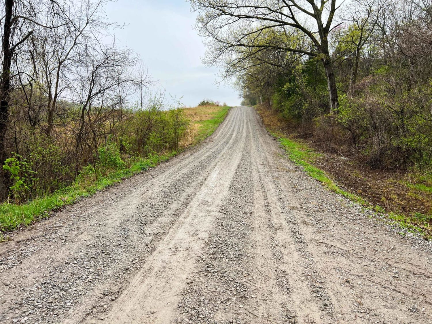
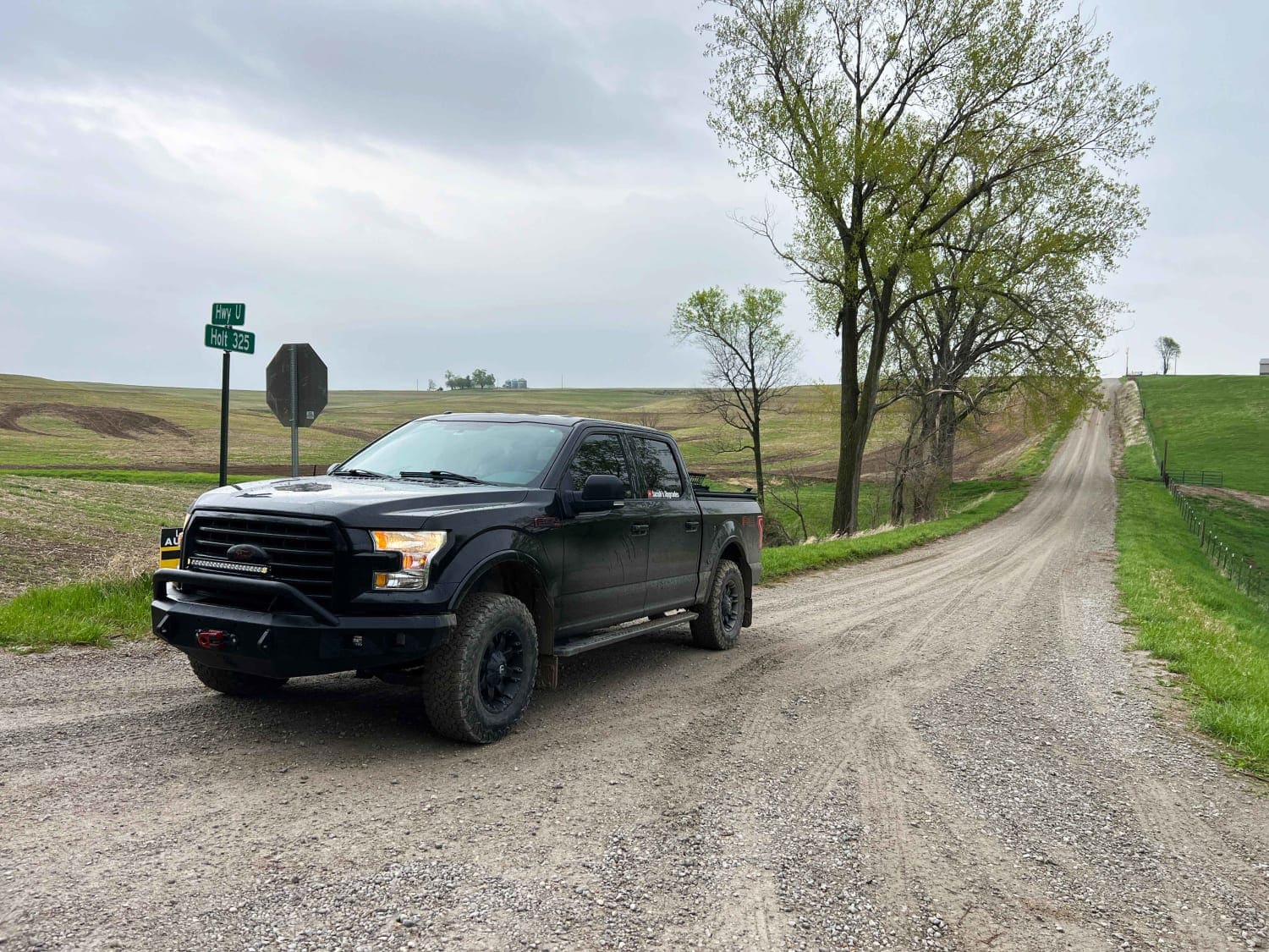
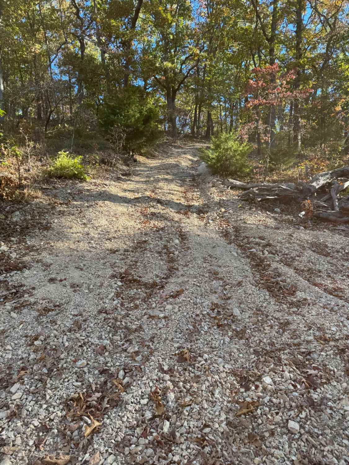
Monkey Mountain follows along the edge of Honey Creek Conservation area before crossing the Nodaway River. Crossing into Holt County Holt 325 road climbs quickly along the Monkey Mountain Conservation area ending at MO U. This is an easy-going gravel road that can become soft and loose after heavy rains like we experienced when mapping this trail. 4WD is recommended during bad weather or snow in order to climb the steep bluffs.
Photos of Monkey Mountain
Difficulty
This is an easy-going gravel road that can become soft and loose after heavy rains like we experienced when mapping this trail. 4WD is recommended during bad weather or snow in order to climb the steep bluffs.
Status Reports
Monkey Mountain can be accessed by the following ride types:
- High-Clearance 4x4
- SUV
Monkey Mountain Map
Popular Trails

Yellow 48
The onX Offroad Difference
onX Offroad combines trail photos, descriptions, difficulty ratings, width restrictions, seasonality, and more in a user-friendly interface. Available on all devices, with offline access and full compatibility with CarPlay and Android Auto. Discover what you’re missing today!