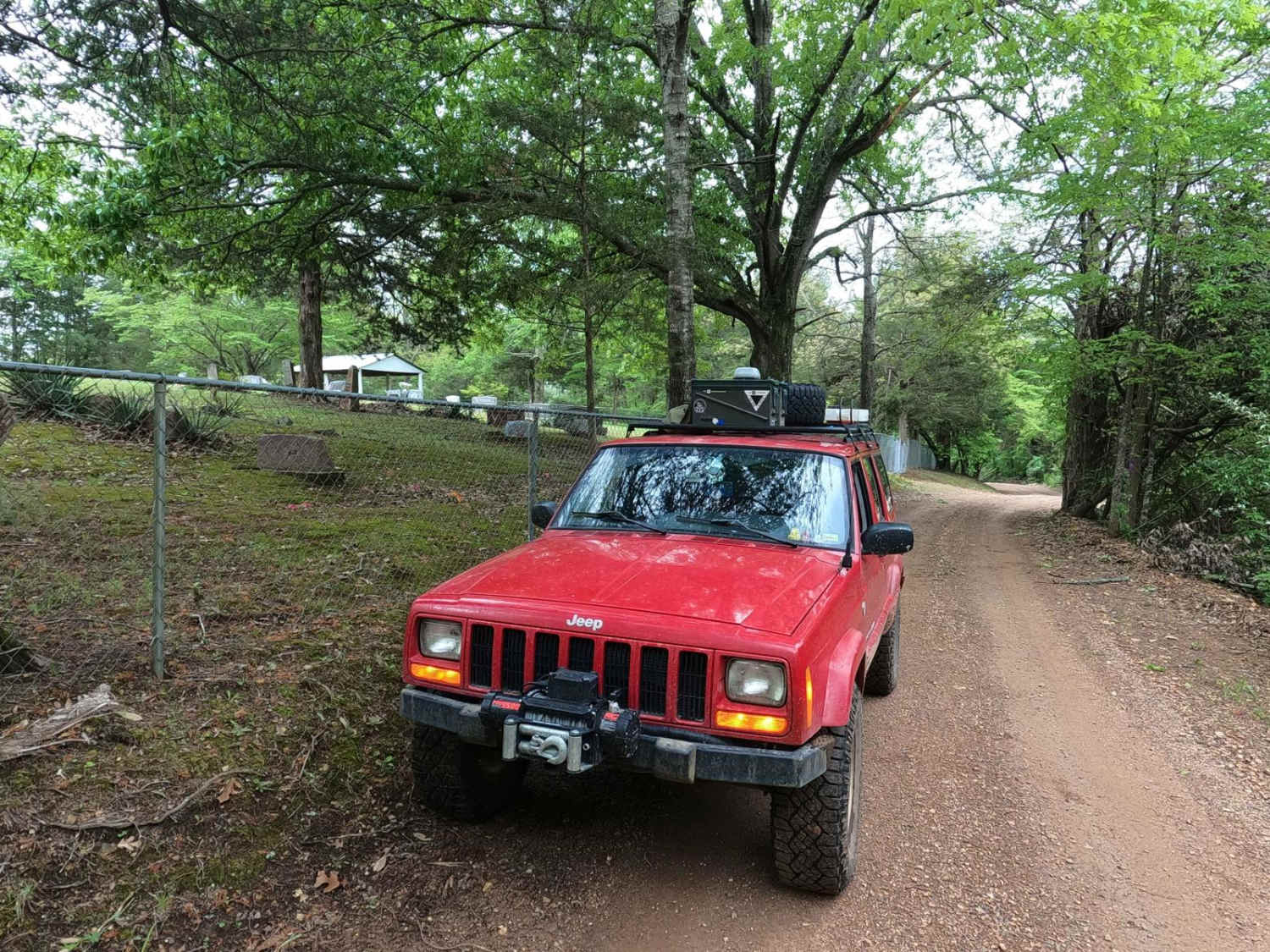
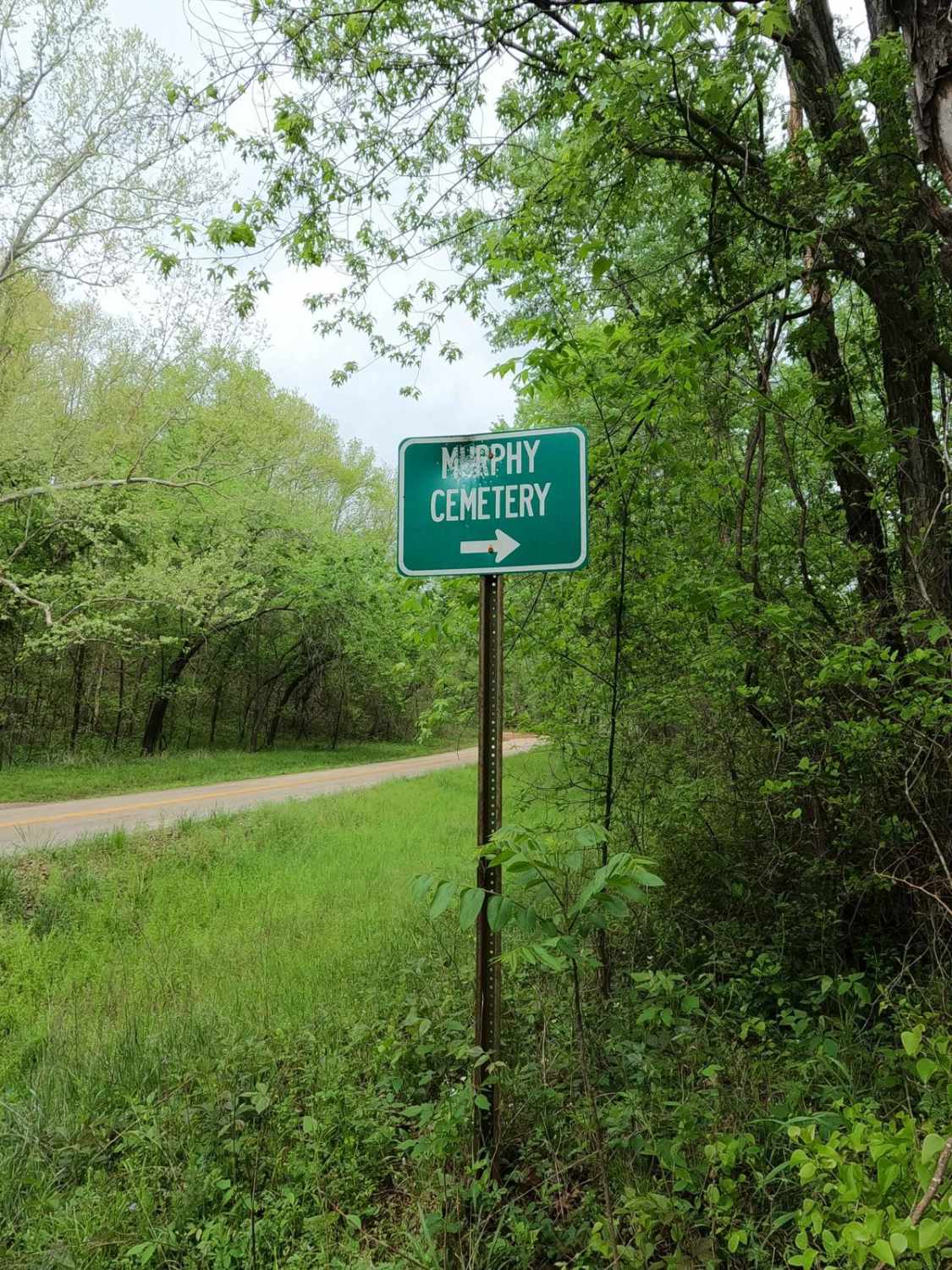
Murphy Cemetery Road
Total Miles
1.2
Elevation
253.45 ft
Duration
0.25 Hours
Technical Rating
Best Time
Spring, Summer, Fall, Winter
Trail Overview
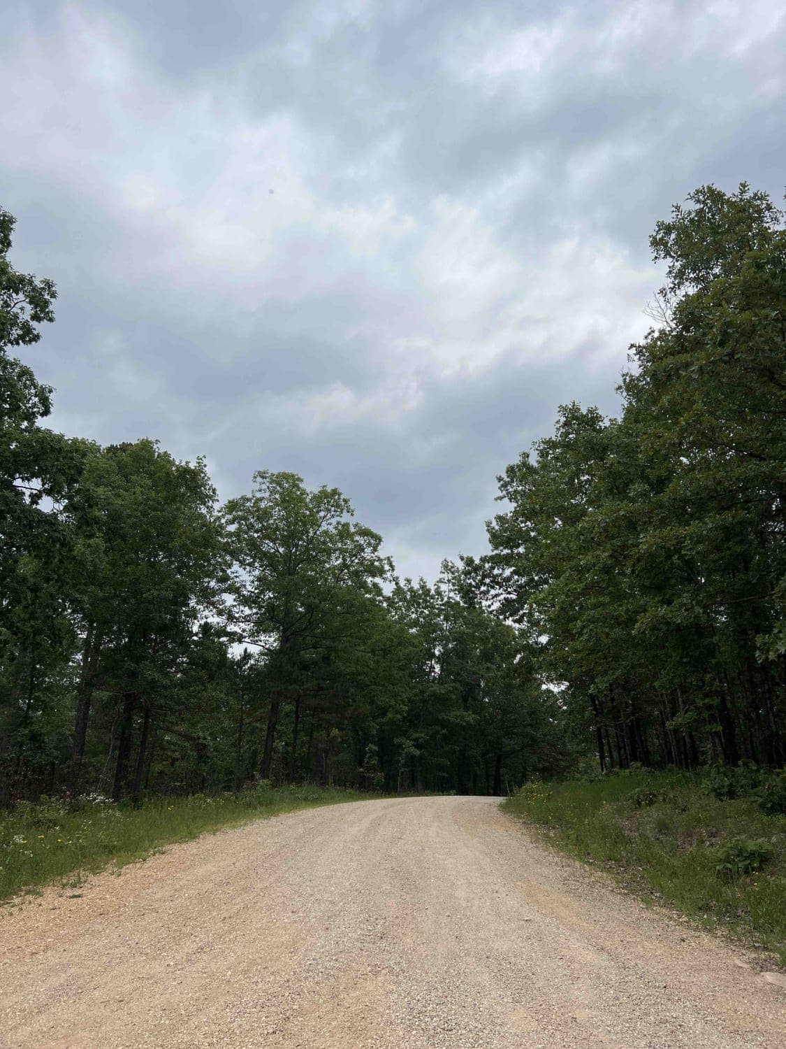
Murphy Cemetery Road, including part of the Reynolds County Road 466, is a coarse gravel road with natural tendencies. It tracks through the southern portion of the Black River Bottoms area within the Clearwater Lake U.S. Army Corps of Engineers, Reynolds County, and "Riverside" Missouri Department of Conservation Land. The road ultimately traverses between the tree-thick swampy valley bottoms at Missouri-CC and Reynolds County Road 468, not far from the Black River's edge. It climbs over some red clay and coarse gravel-based small hills accessing the resting place of the cemetery mid-track, to finish using a natural-leaning coarse gravel road rapidly going uphill to the ridgetops. There, it curves through constant thick treelines as it slowly levels out and eventually meets the Dafron Hollow Trail. It's a good connector road to know to stay off as much blacktop as possible when in between the Reynolds County Road 468 area to the south and the Black River Bottoms area to the north. Please respect the private property owners and the cemetery along this road by remaining on the trail, managing personal trash, and keeping impact and noise to a minimum.
Photos of Murphy Cemetery Road
Difficulty
The Murphy Cemetery Road is very simple. The flat portions of this road are a semi-maintained 1/10 gravel road featuring coarse gravel, with expectations of washboarding, potholes, mounding, and spots the road fades to dirt in times of heavy use in between maintenance cycles. The given 2/10 base rating comes from two sections of the road, one being the red clay section and mild rutting on the hills west of the cemetery, and the other being the natural-leaning steep-graded hill east of the cemetery. Both spots are best with the use of 4WD to comfortably/safely drive up and down, as they feature slick clay/mud, loose coarse gravel, and small cobbles in the steep pathway. The road has the potential to be either very dry or mended and may result in a drop-down to a 1/10 rating. Difficulty could increase from further erosion depth at the rutted red clay spot and steep grade, or with wet conditions in the form of traction loss and more surface mud/clay throughout the road.
History
The Murphy Cemetery hosts the resting place of several people dating from the early 1800s to the present day, having common surnames of the area including Murphy, Baker, Brawley, Mann, Hackworth, McMillan, Mauk, Sutton, Middleton, Skaggs, Worley, and many more. Please pay your respects to those who came before us, and help by keeping the area clean and clear of debris when passing through. The history surrounding the bottoms is one of fighting for public access. This is an example where the presence and public use of Reynolds County Roads 464, 462, 460, 458, 456, 446A, and more have been the driving force keeping these trails open. Locals refuse to let their historic roads be taken away, yielding a place we all can enjoy and use. Please do your part in keeping this place alive; pack it in/pack it out, follow the green and red route markers as marked, and don't drive in the Black River or form new trails.
Popular Trails

Johnson Mountain FSR 2245/ Logan Mountain FSR 2780
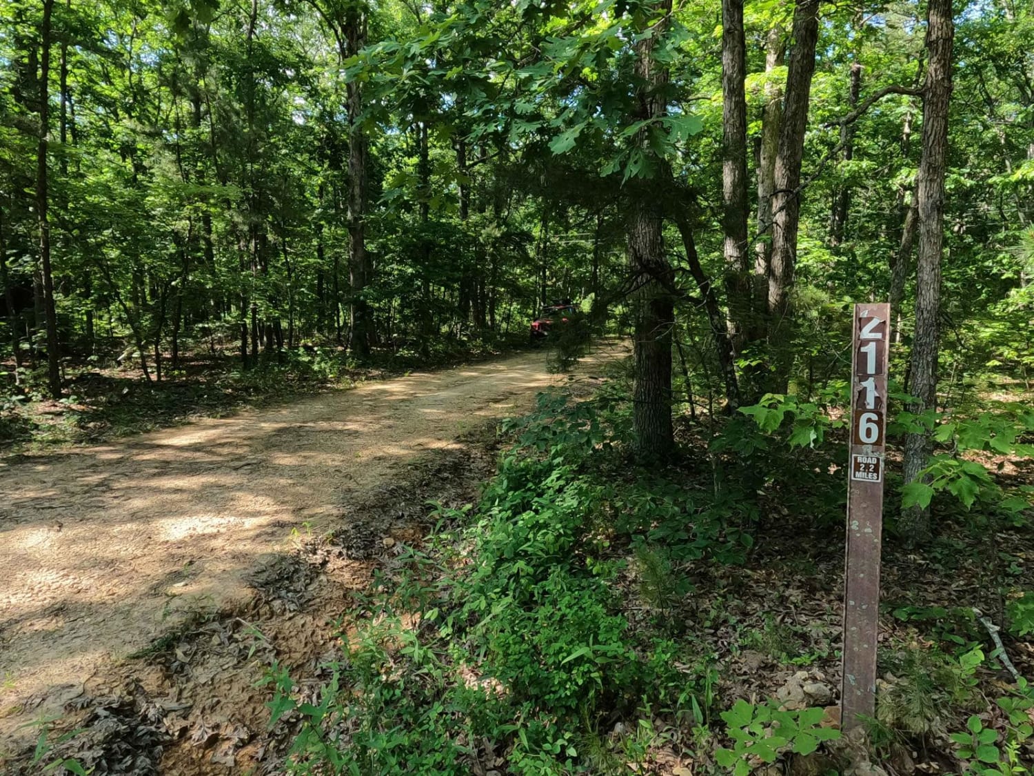
Crane Tower South FSR 2116
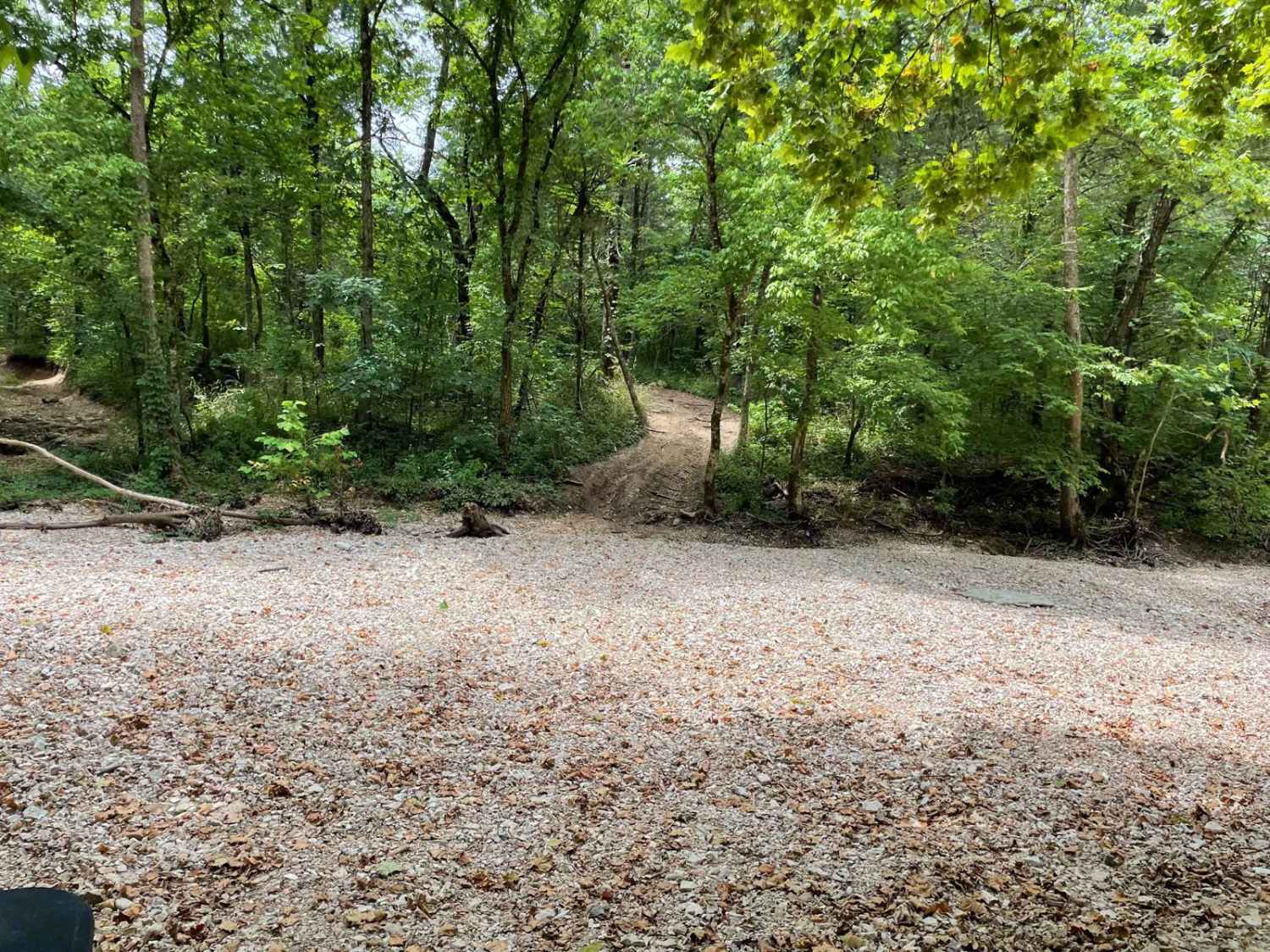
FR 1060 - Mary Cole Ridge
Turkey Knob 3145
The onX Offroad Difference
onX Offroad combines trail photos, descriptions, difficulty ratings, width restrictions, seasonality, and more in a user-friendly interface. Available on all devices, with offline access and full compatibility with CarPlay and Android Auto. Discover what you’re missing today!
