Round Mountain Road
Total Miles
3.0
Technical Rating
Best Time
Fall
Trail Type
Full-Width Road
Accessible By
Trail Overview
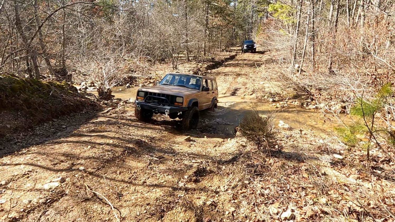
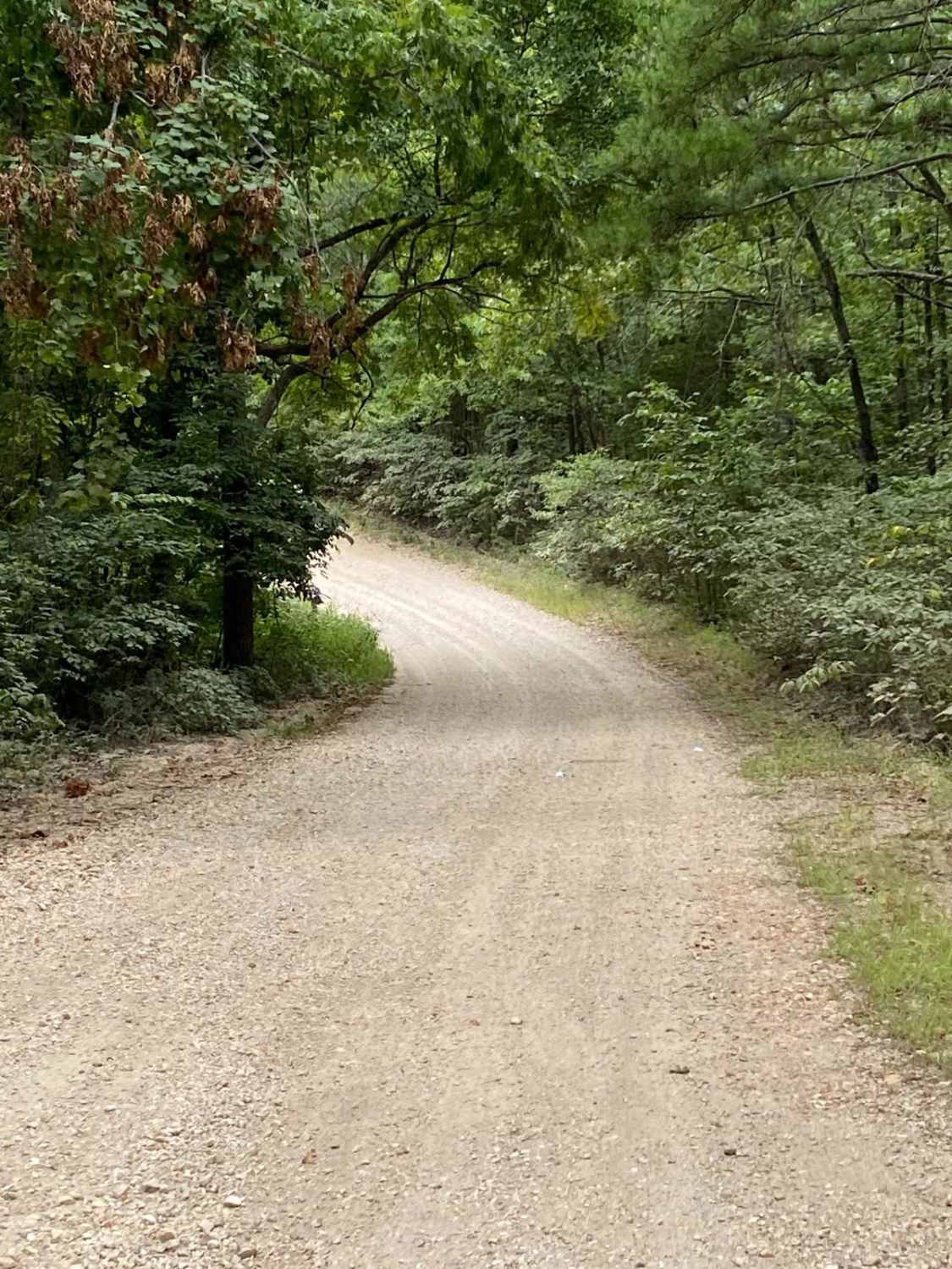
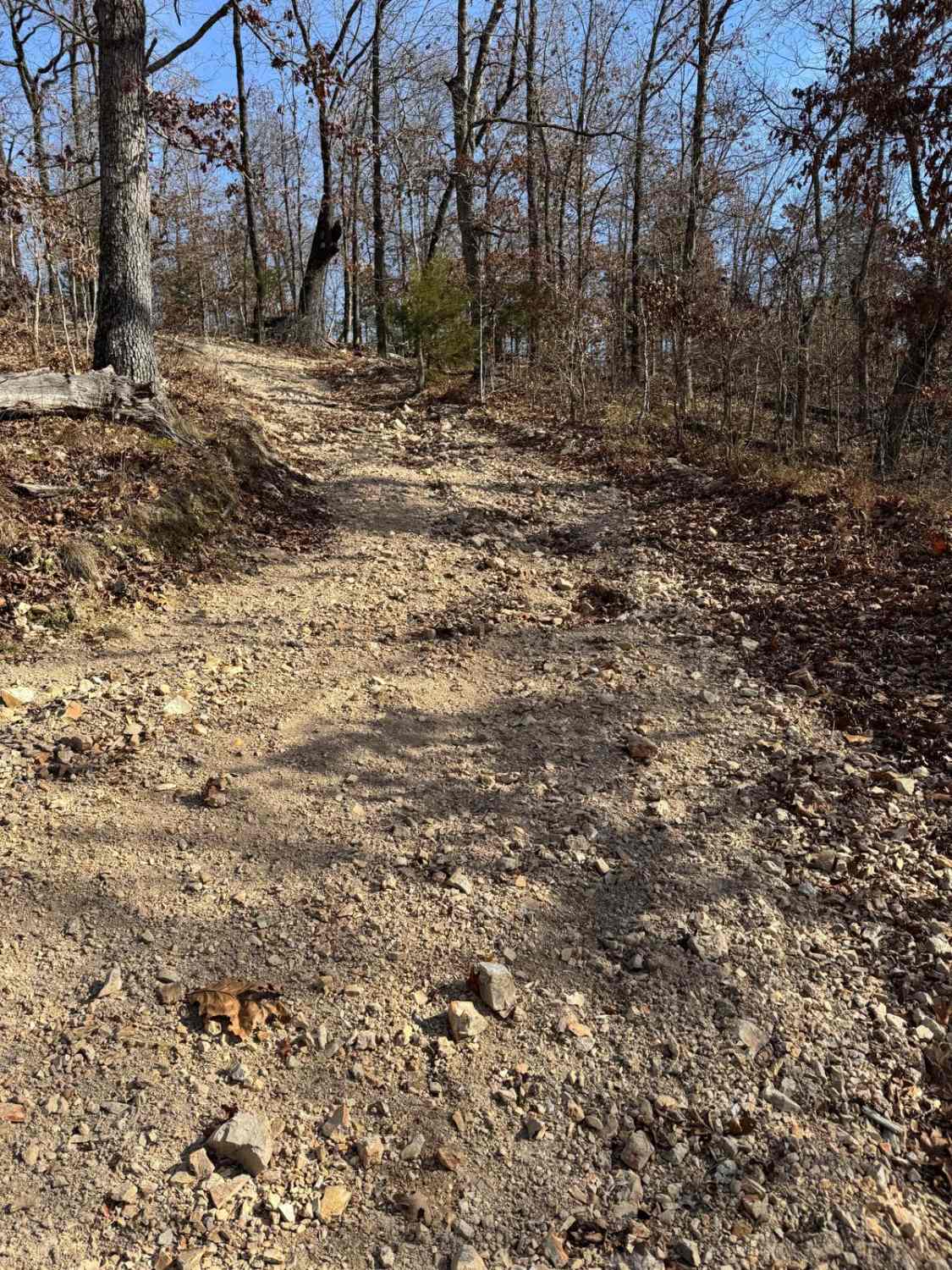
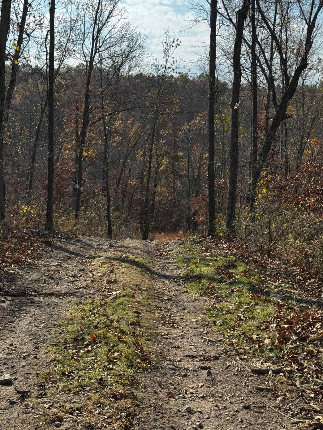
Round Mountain Road is a gravel route in the Mark Twain National Forest. It is an excellent way to access the forest when coming from, or heading to the Branson area. This route is mostly gravel along a ridge through a very dense section of forest. Great views to the south occur in early spring, winter, or late fall when the vegetation is minimal. There are some private residences on the eastern side to be mindful of. It's considered a county road and not maintained by the forest service. This route is also the access point to FSR 548 "Bright Ridge".
Photos of Round Mountain Road
Difficulty
This is an easy, scenic gravel route that is wide enough for two vehicles. There is some elevation change and blind curves but no obstacles to report.
Round Mountain Road can be accessed by the following ride types:
- High-Clearance 4x4
- SUV
Round Mountain Road Map
Popular Trails

Squatch Street

Antioch FSR 2125
The onX Offroad Difference
onX Offroad combines trail photos, descriptions, difficulty ratings, width restrictions, seasonality, and more in a user-friendly interface. Available on all devices, with offline access and full compatibility with CarPlay and Android Auto. Discover what you’re missing today!


