Shelton Ford
Total Miles
3.9
Technical Rating
Best Time
Summer, Fall
Trail Type
Full-Width Road
Accessible By
Trail Overview
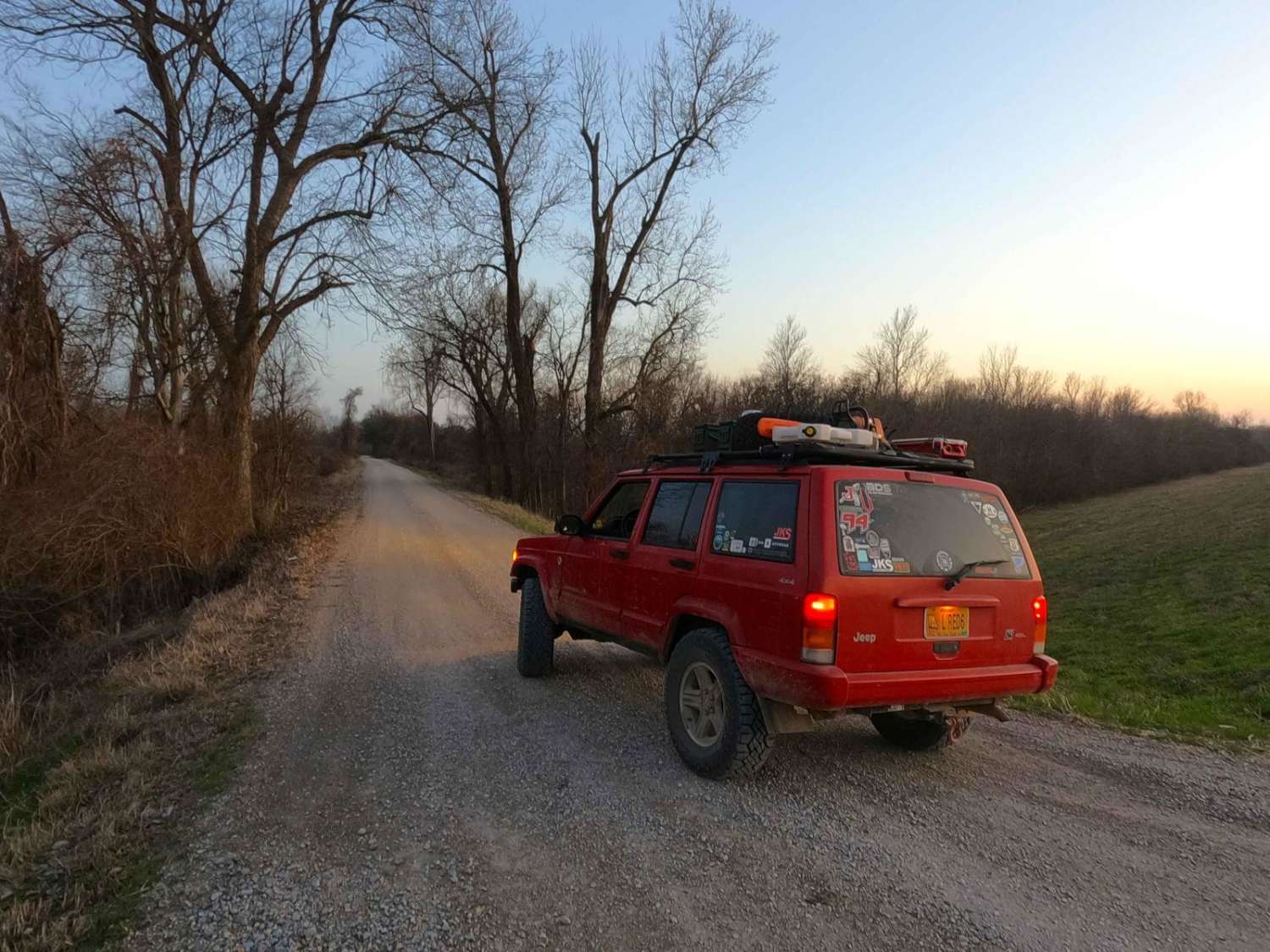
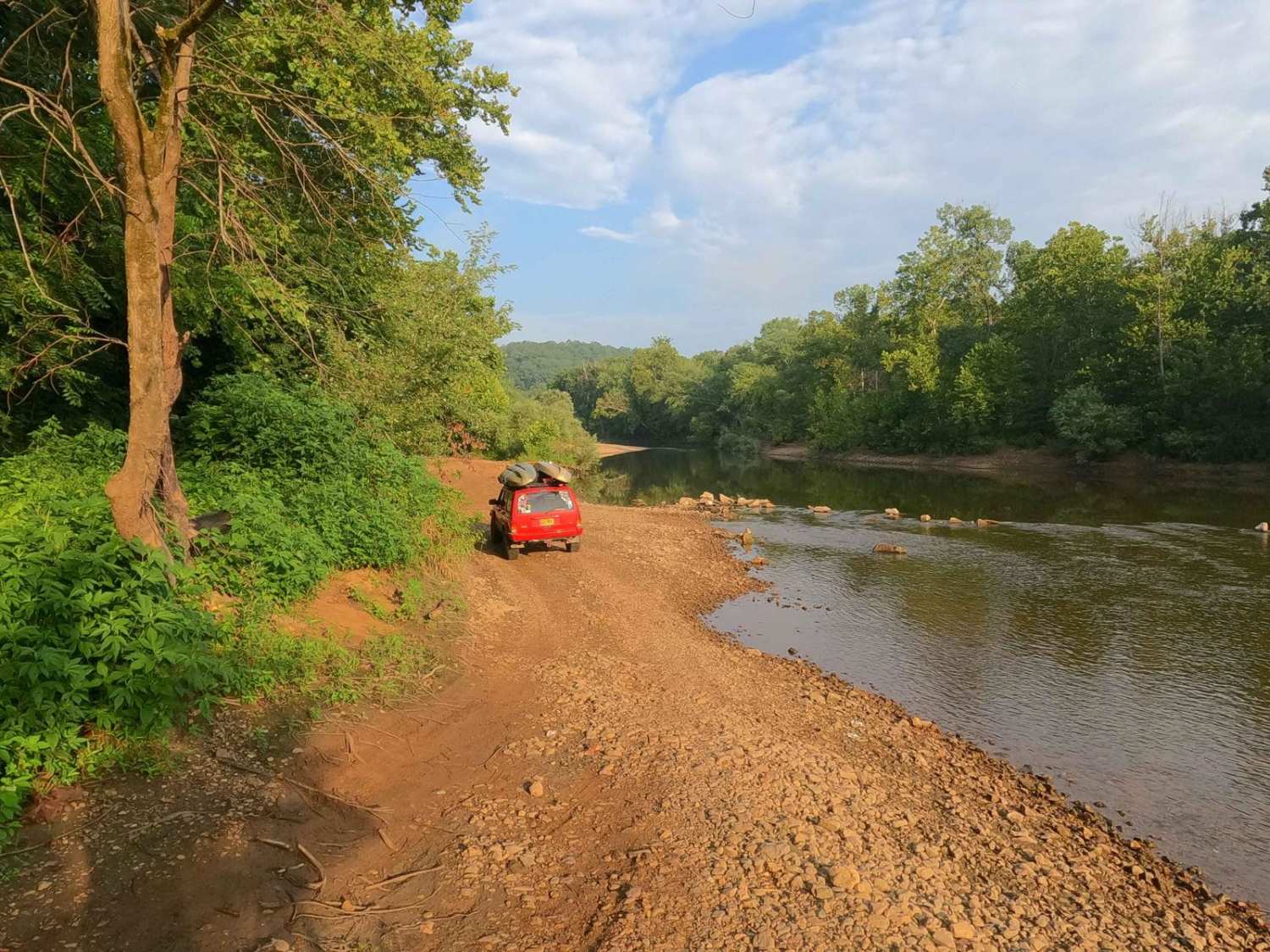
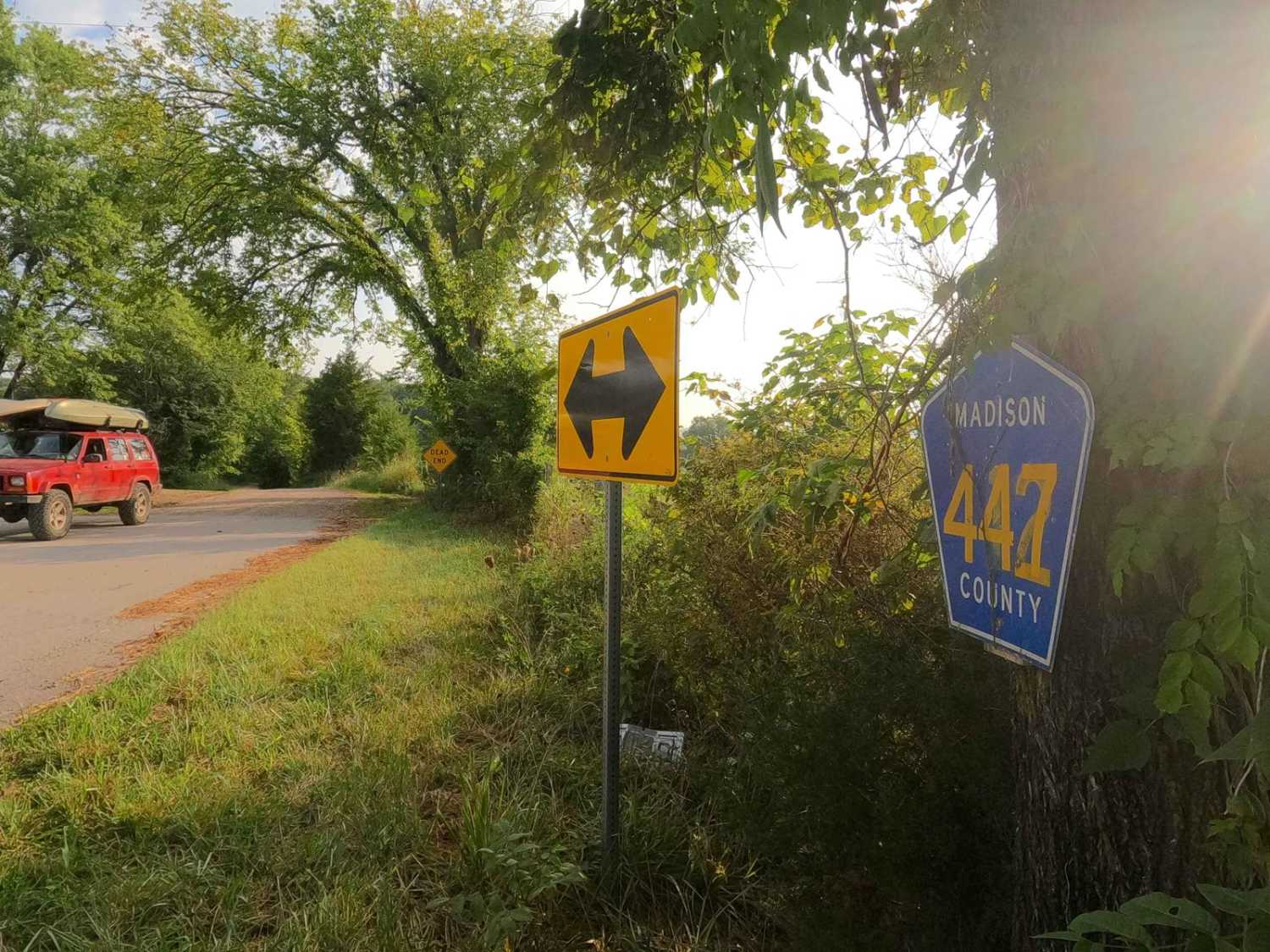
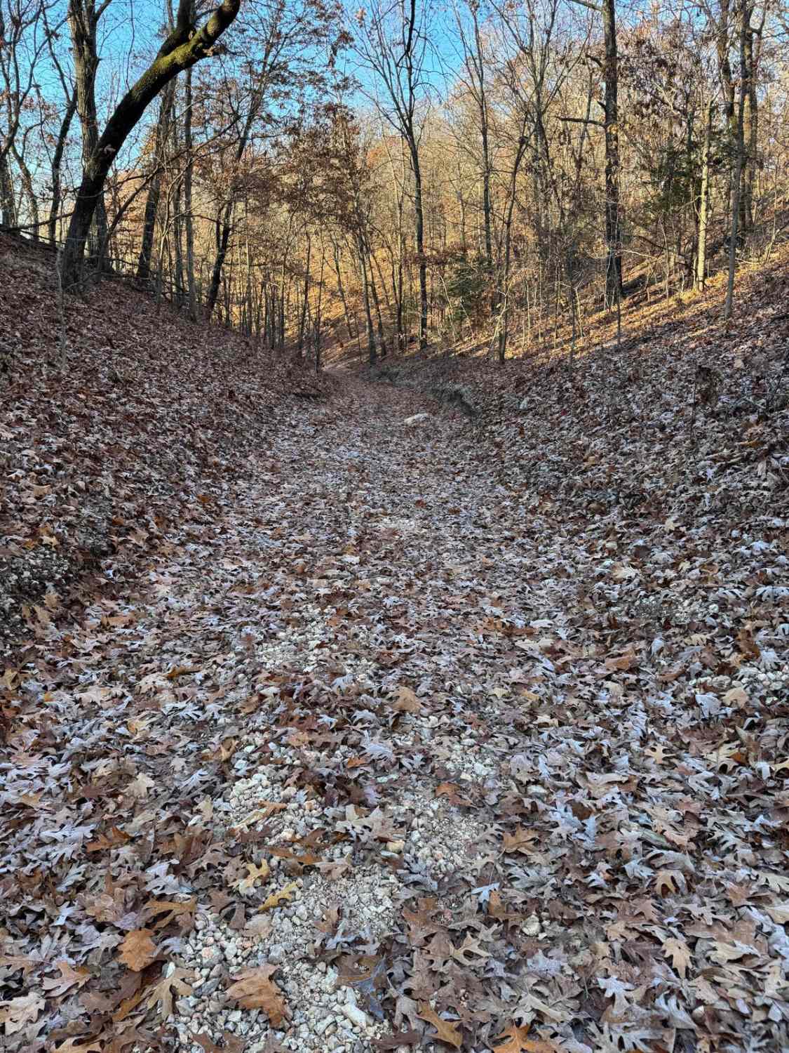
The Shelton Ford, or Madison County Roads 447 and 445, is a historic water ford through the St. Francis River in Madison County Missouri. First, disclaimer, there are times of year and wet seasons when this ford should not be attempted. If the rocks that outline the perimeter of the crossing track are underwater, the river is at or above 2 feet in depth being normally 130 feet wide, with mild to moderate current. If the bank roads accessing the ford are being covered, water depth is no less than 4 feet and is roughly 200 feet wide, with swift and fast current, at this point it is advised to not be crossed. The combination Shelton Ford features views of Missourian living amongst the Saint Francois Mountains and St Francis River Valley within Madison County. Both roads leading to the crossing are mild course gravel roads with mild graded hills, the water crossing is the only point in the track where 4WD is needed or difficulty increases. Come and witness one of the few crossings left through the St Francis River, a great place to fish and enjoy the peace of the river flowing by. Please be respectful of the private land surrounding the river crossing, and stay on the defined and established path, especially at the crossing point.
Photos of Shelton Ford
Difficulty
Both roads leading to the crossing are mild 1/10 rated course gravel roads with mild graded hills, the water crossing is the only point in the track where 4WD is needed or difficulty increases to the 5/10 given base rating, granted due to being a water obstacle, this is always subject to change both up and down, during droughts, this could be as simple a 2/10 crawling over 6" depth of water, with small river bed cobbles (4-10" rocks) and the finer loose gravel and sand around it, to the extremes of a 6+ foot deep flood level water that has abundance of current strength that no vehicle should attempt for the safety of its occupants.
Status Reports
Shelton Ford can be accessed by the following ride types:
- High-Clearance 4x4
- SUV
Shelton Ford Map
Popular Trails

Kanes Right Side

Wolf Bayou Road

Cut Off Bo-Co Road 340
The onX Offroad Difference
onX Offroad combines trail photos, descriptions, difficulty ratings, width restrictions, seasonality, and more in a user-friendly interface. Available on all devices, with offline access and full compatibility with CarPlay and Android Auto. Discover what you’re missing today!


