Bangtail Divide
Total Miles
2.7
Technical Rating
Best Time
Summer, Fall
Trail Type
Single Track
Accessible By
Trail Overview
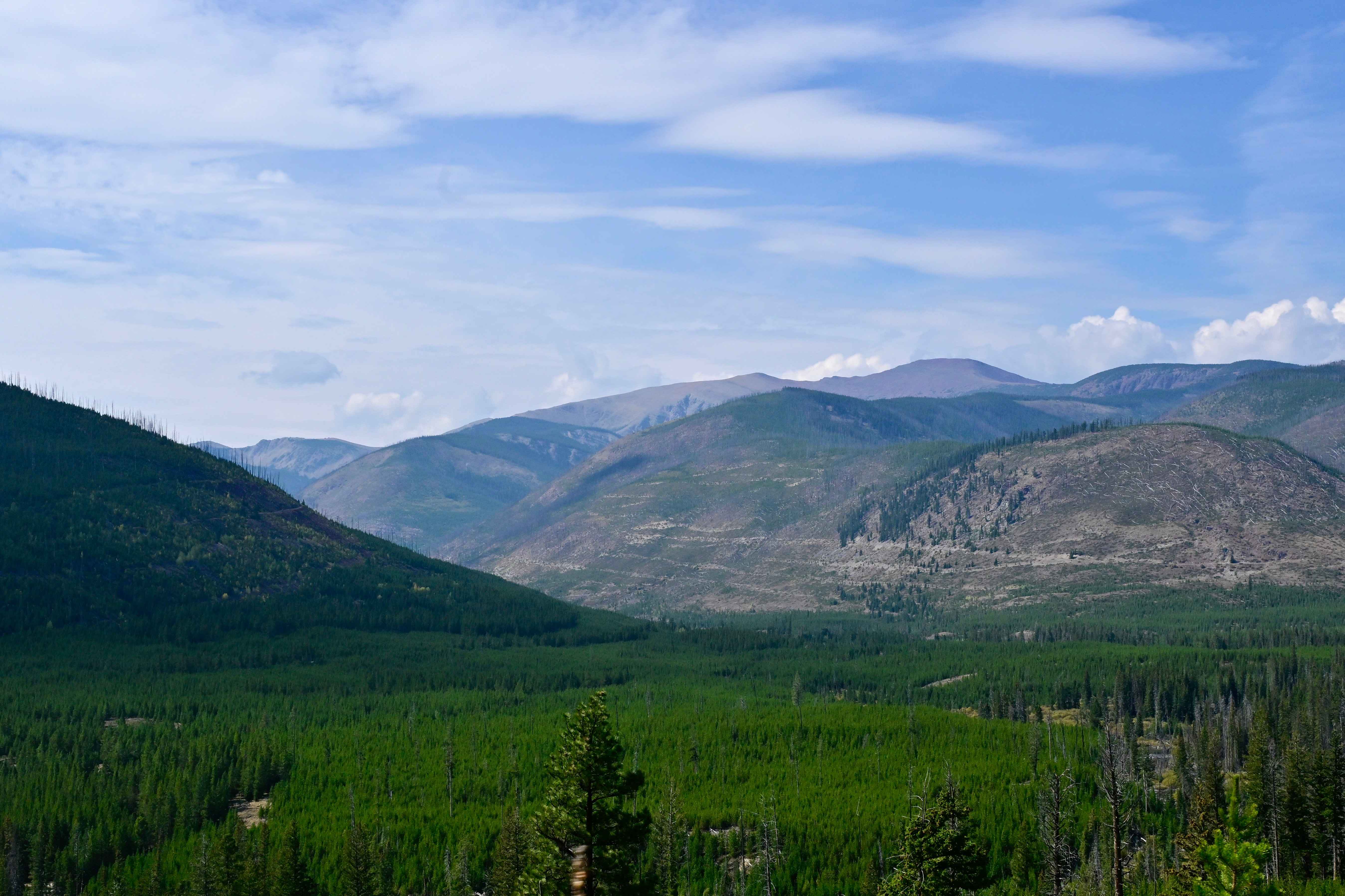
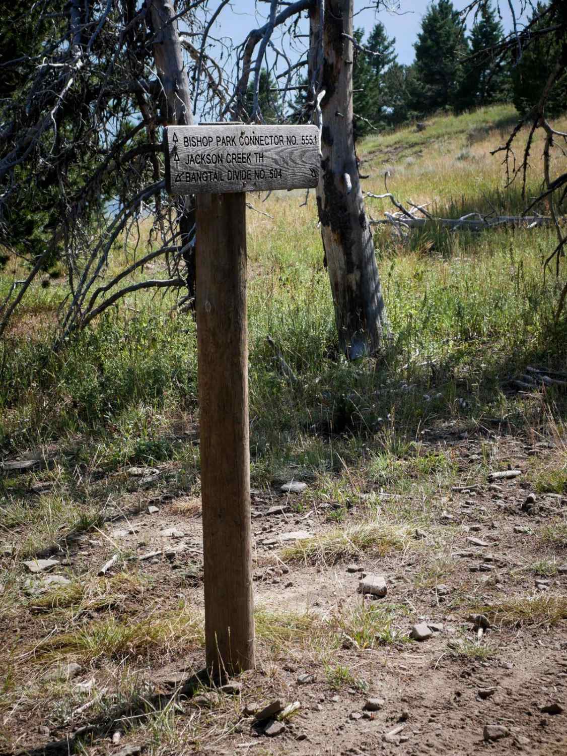
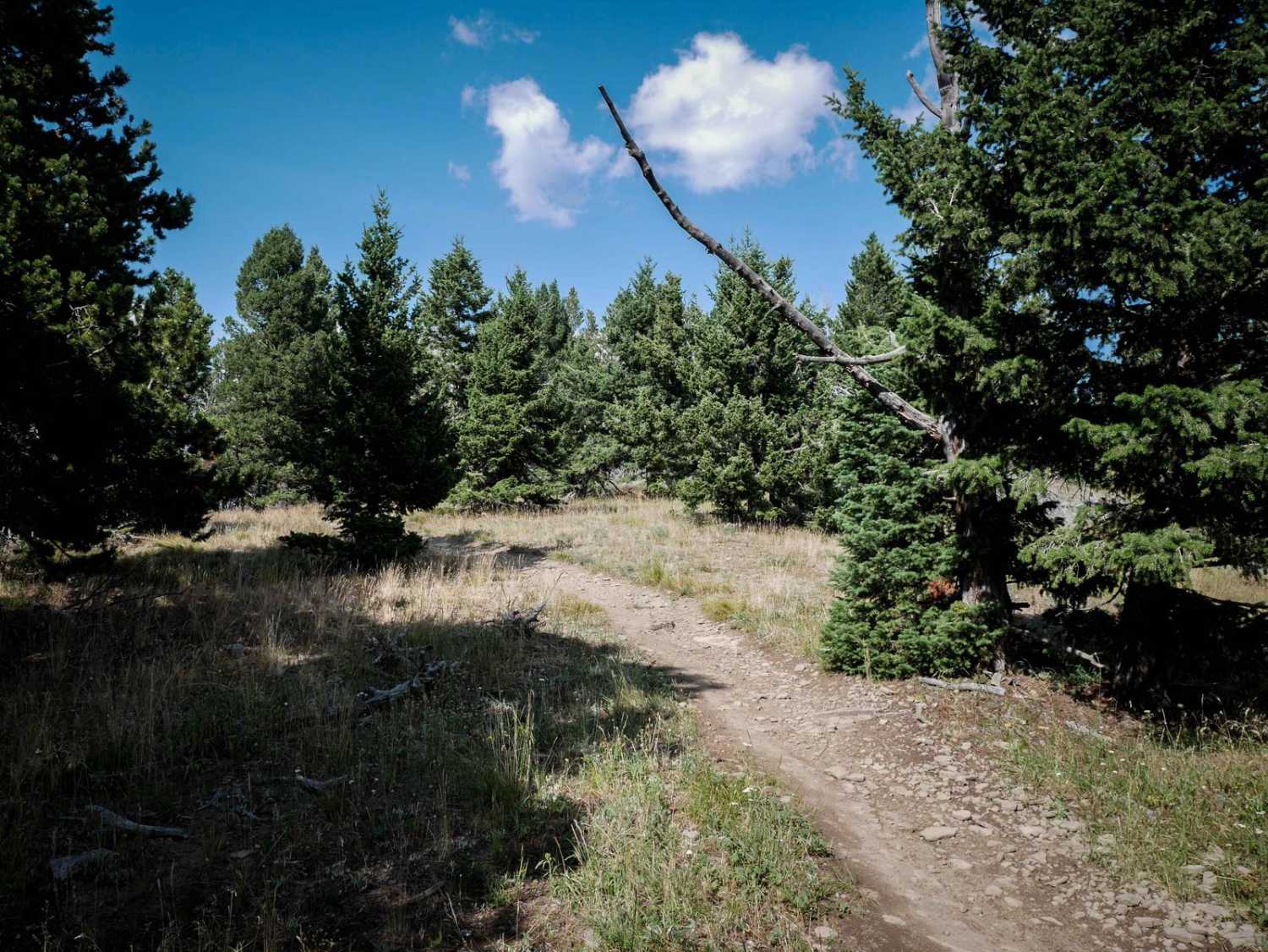
This is a 2.7-mile segment of the Bangtail Divide single track that parallels the Bishop Park ATV Trail. The south end starts at the intersection with the Bishop Park Connector Trail and a nonmotorized trail that goes to the Doyle Cabin. It goes north as a narrow trail through pine trees along the edge of a mountainside. There are lots of cut logs, as this is a popular riding area and any felled trees will likely get cut. It's mostly smooth dirt, with hardly any rocks. The trail is fast and flowy, with little rollers and dips. It looks like it has been widened and maintained to add more curves so you can scrub speed around the corners rather than going straight. It goes through big wide meadows where there are pole markers along the trail to mark the route that you can follow. You get great views of the Bridger Range across the highway. At one point it tees up with the parallel ATV trail for a tiny bit before it splits again. The northern half has a few sections with more embedded rock and loose rock, but it's still very easy. Pay attention during the tight turns through the trees.
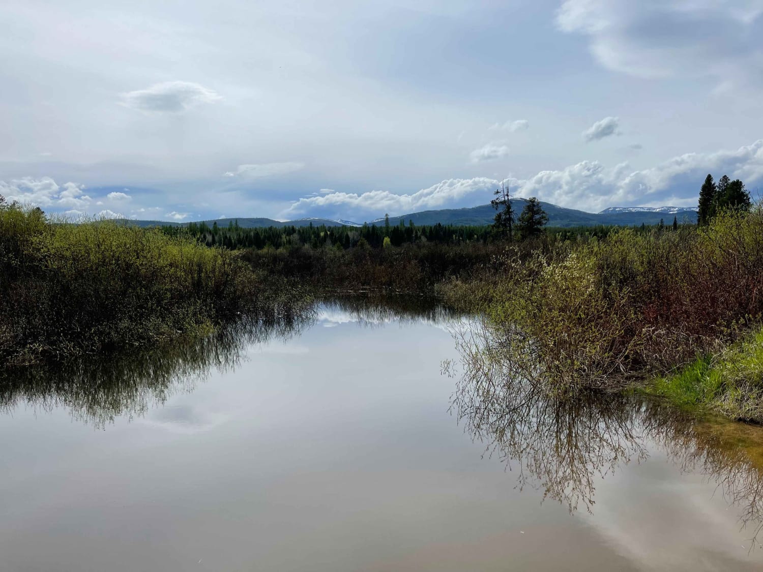
Photos of Bangtail Divide
Difficulty
This is a very easy single track with easy features such as embedded rock and tight turns, but no large obstacles.
Bangtail Divide can be accessed by the following ride types:
- Dirt Bike
Bangtail Divide Map
Popular Trails

BLM 16 (Pipestone Exit Trail)

Clearwater Canoe Put In Trail

Indian Meadows

Granite Mine Ghost Town
The onX Offroad Difference
onX Offroad combines trail photos, descriptions, difficulty ratings, width restrictions, seasonality, and more in a user-friendly interface. Available on all devices, with offline access and full compatibility with CarPlay and Android Auto. Discover what you’re missing today!

