Benchmark
Total Miles
1.9
Technical Rating
Best Time
Summer, Fall
Trail Type
50" Trail
Accessible By
Trail Overview
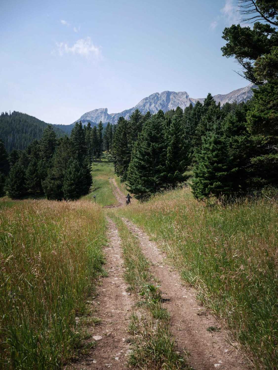
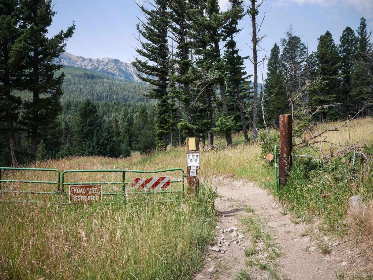
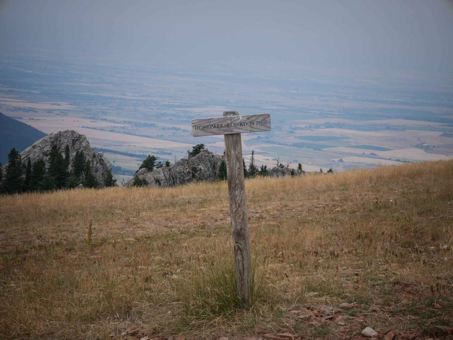
Benchmark is a 1.5-mile long 50" trail through the Gallatin National Forest north of Bozeman, Montana. It's easy for the entire route, going through grassy valleys on an overgrown dirt trail. This one looks less ridden, with grass growing down the middle of the trail, and not many tracks. It starts at the intersection with South Fork Flathead Creek ATV Trail, and Carrol Creek ATV Trail, both of which are similar easy difficulty and can be combined for a longer ATV ride. It turns into a Jeep road on the north end which goes out to Flathead Pass Road. This trail is open 6/16 - 12/1 for motorized use.
Photos of Benchmark
Difficulty
This is an easy ATV trail with no obstacles for the entire route.
Status Reports
Benchmark can be accessed by the following ride types:
- ATV (50")
- Dirt Bike
Benchmark Map
Popular Trails
Schwartz Creek

Porcupine Creek #34
Petroglyphs Canyon Natural Area
The onX Offroad Difference
onX Offroad combines trail photos, descriptions, difficulty ratings, width restrictions, seasonality, and more in a user-friendly interface. Available on all devices, with offline access and full compatibility with CarPlay and Android Auto. Discover what you’re missing today!
