BLM 14
Total Miles
4.5
Technical Rating
Best Time
Spring, Summer, Fall
Trail Type
50" Trail
Accessible By
Trail Overview
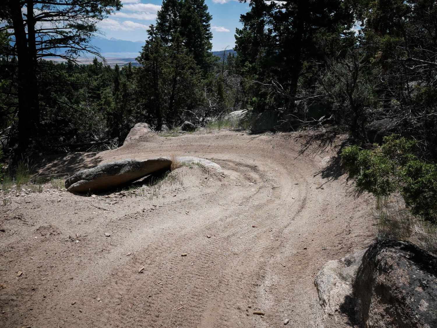
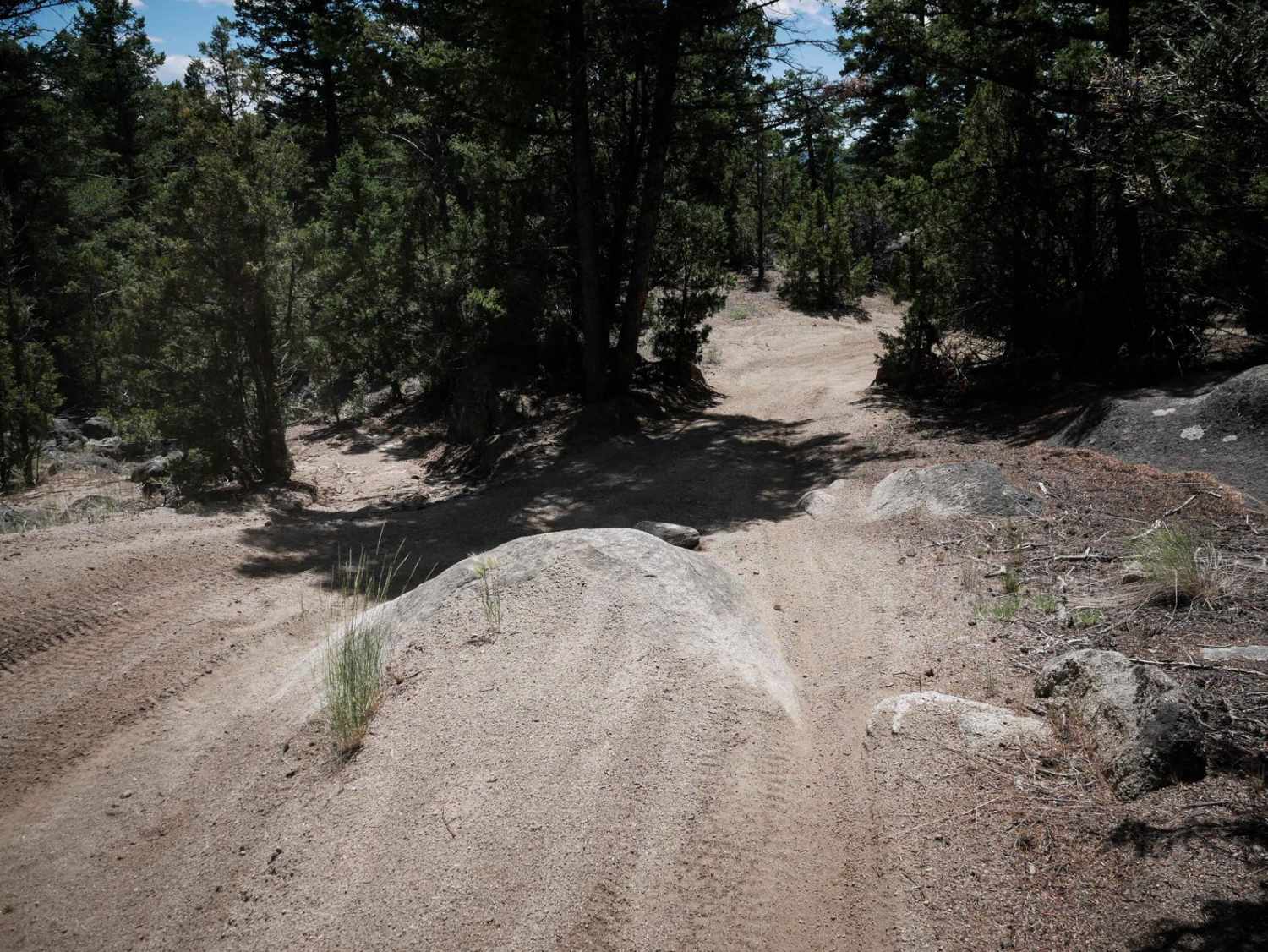
BLM Trail 14 is a 4.5-mile-long ATV trail designated for vehicles 50" or less. It's marked as Most Difficult on the trail sign, but it seems more like an easy/moderate trail. Most of it is a wide pea-gravel two-track that is really windy, and it has some whoops. It has lots of tight corners, and some flat embedded rocks on the surface of the trail. Huge boulders line the trail, sometimes making it narrow in spots when the boulders are encroaching into the edge of the trail. There is one spot that had a large round boulder in the center of the trail that creates a couple-foot ledge you'd have to go down, but there is a wide dirt turn around it, so it can be bypassed. Maybe the trail has become wider in recent years, so whatever made it Most Difficult is now not as hard. Follow signs for Trail 14 throughout the route, and it does cross Delmoe Lake Road near the west end. Watch out for oncoming traffic as this trail accesses a lot of other trails, and is probably often taken as part of a loop to view the Ringing Rocks.
Photos of BLM 14
Difficulty
This is a moderate ATV trail. The hardest part is the windiness and narrowness, as it has lots of tight corners and boulders lining the trail. There is one boulder obstacle that can be ridden around.
Status Reports
Popular Trails
Medicine Point Trailhead
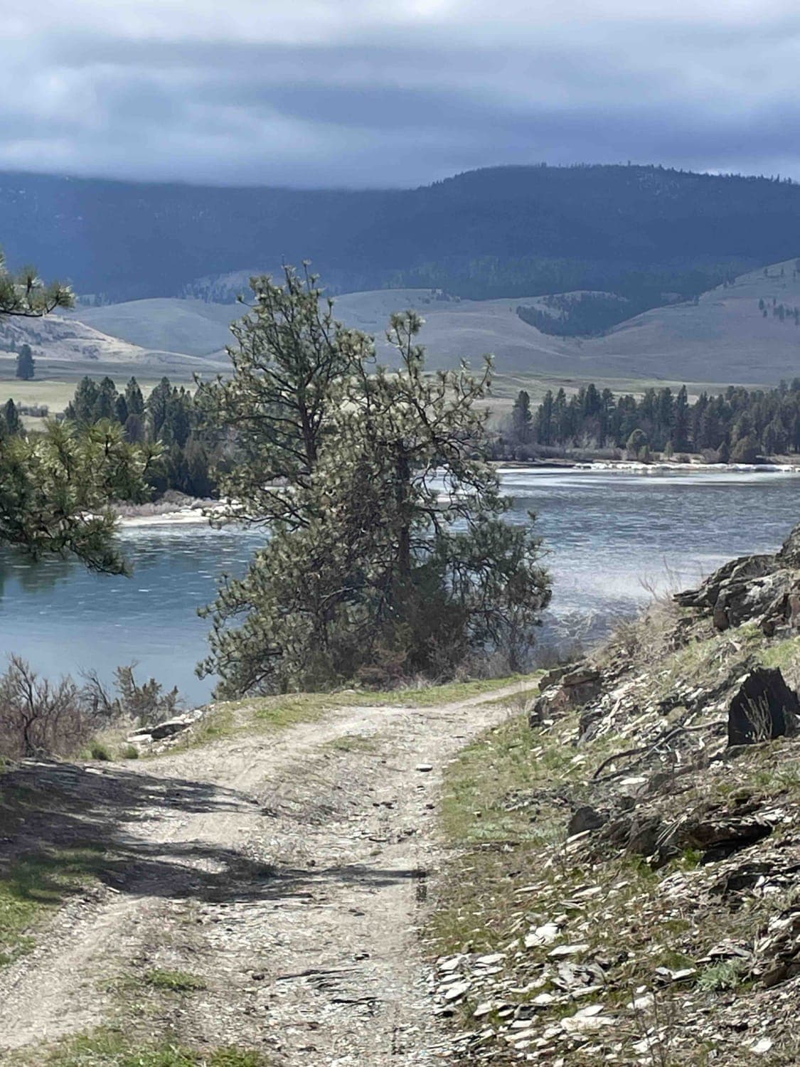
Sloan's Bridge to Old Ferry Basin Crossing
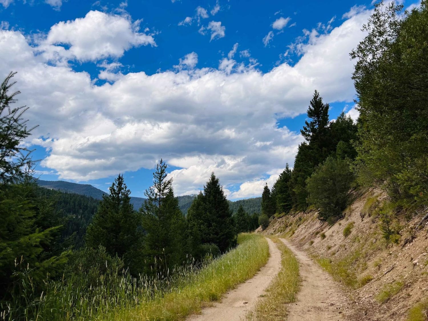
Bush Moose Ridge
The onX Offroad Difference
onX Offroad combines trail photos, descriptions, difficulty ratings, width restrictions, seasonality, and more in a user-friendly interface. Available on all devices, with offline access and full compatibility with CarPlay and Android Auto. Discover what you’re missing today!
