Camels Hump - FS 3800
Total Miles
7.2
Technical Rating
Best Time
Summer
Trail Type
Full-Width Road
Accessible By
Trail Overview
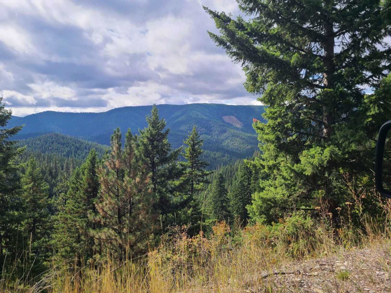
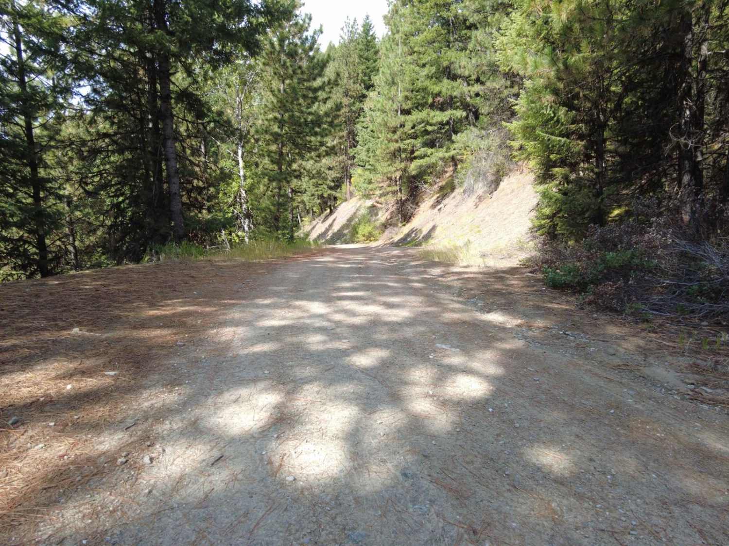
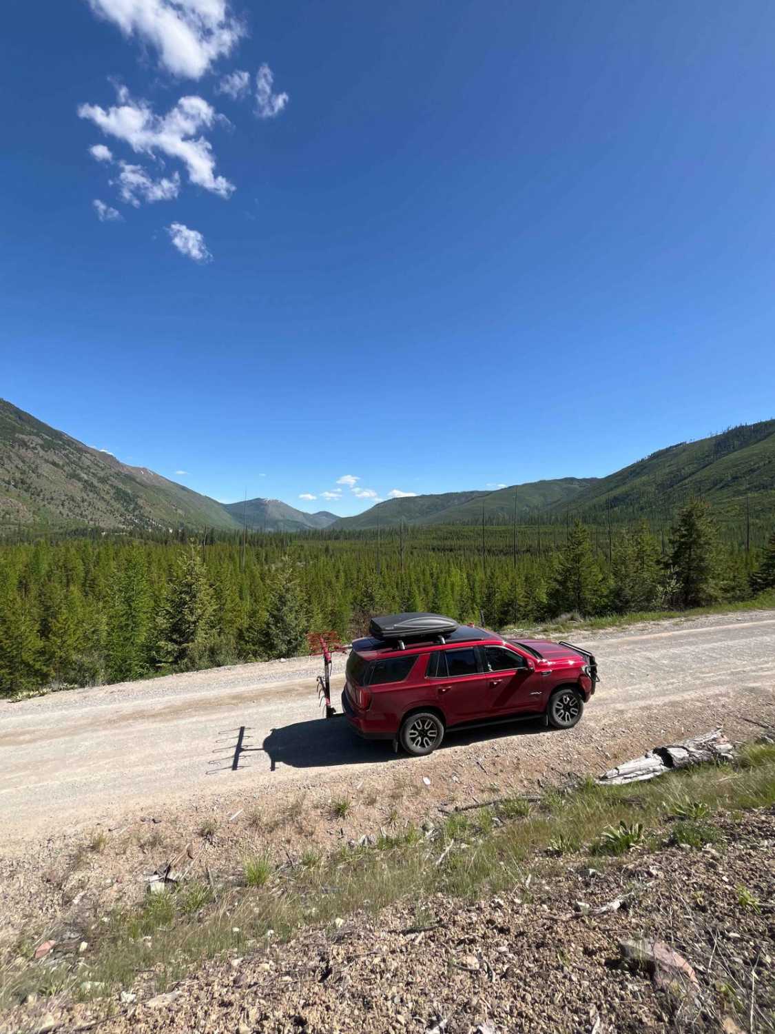
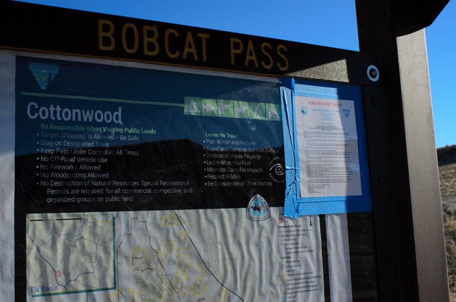
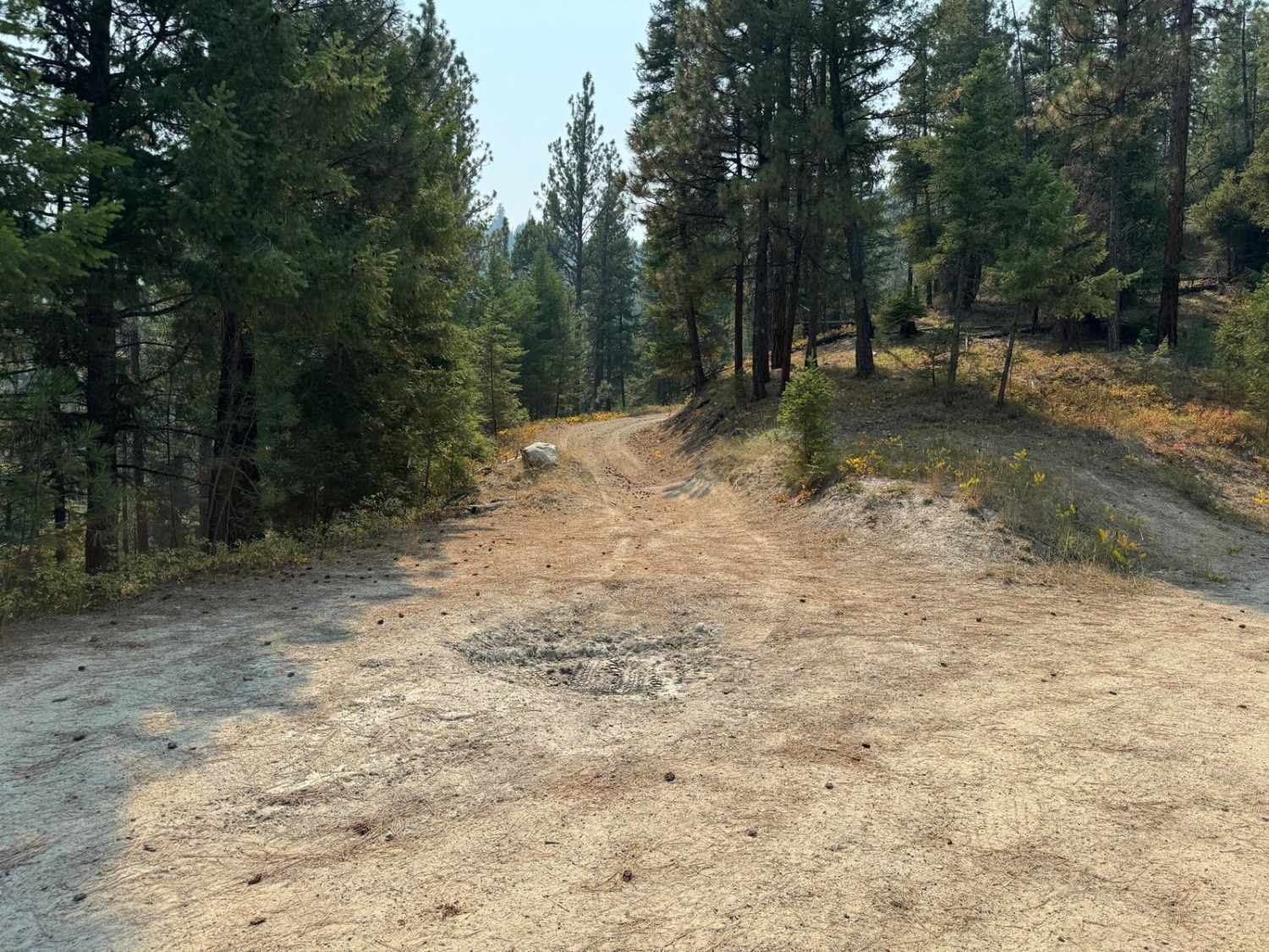
Camels Hump Lookout is USFS road 3800, a lightly traveled gravel road through Lolo National Forest east of Henderson, Montana. The road is moderately traveled and has a mild incline never exceeding a 6% grade. It is easily traveled by all vehicles except when snow or ice covered. The roadway is subject to some mild erosion from heavy rains and sporadic tree deadfall. The road leads to Camels Hump lookout tower, though the Forest Service gates access a mile from the tower. The Tamarack Creek Road (USFS 284) branches off near the top and leads you to St. Regis. This area is heavily treed and has logging, hunting, and other activities present. Multiple divergent trails branch off the main roadway, and most of them are gated. There are no camping spots, and few pullouts along the route. There are deer, eagles, bears, and small ground animals in the area, but there are no vault bathrooms or amenities.
Photos of Camels Hump - FS 3800
Difficulty
The roadway can be subject to mild erosion and has a grade of 6% or less.
Status Reports
Camels Hump - FS 3800 can be accessed by the following ride types:
- High-Clearance 4x4
- SUV
- SxS (60")
- ATV (50")
- Dirt Bike
Camels Hump - FS 3800 Map
Popular Trails
Big Cr Canyon Creek - NF316
Cottonwood Road

Darby Trails Loop 2
The onX Offroad Difference
onX Offroad combines trail photos, descriptions, difficulty ratings, width restrictions, seasonality, and more in a user-friendly interface. Available on all devices, with offline access and full compatibility with CarPlay and Android Auto. Discover what you’re missing today!