Standard Creek Rd w/Wolverine Basin
Total Miles
23.6
Technical Rating
Best Time
Summer, Fall
Trail Type
Full-Width Road
Accessible By
Trail Overview
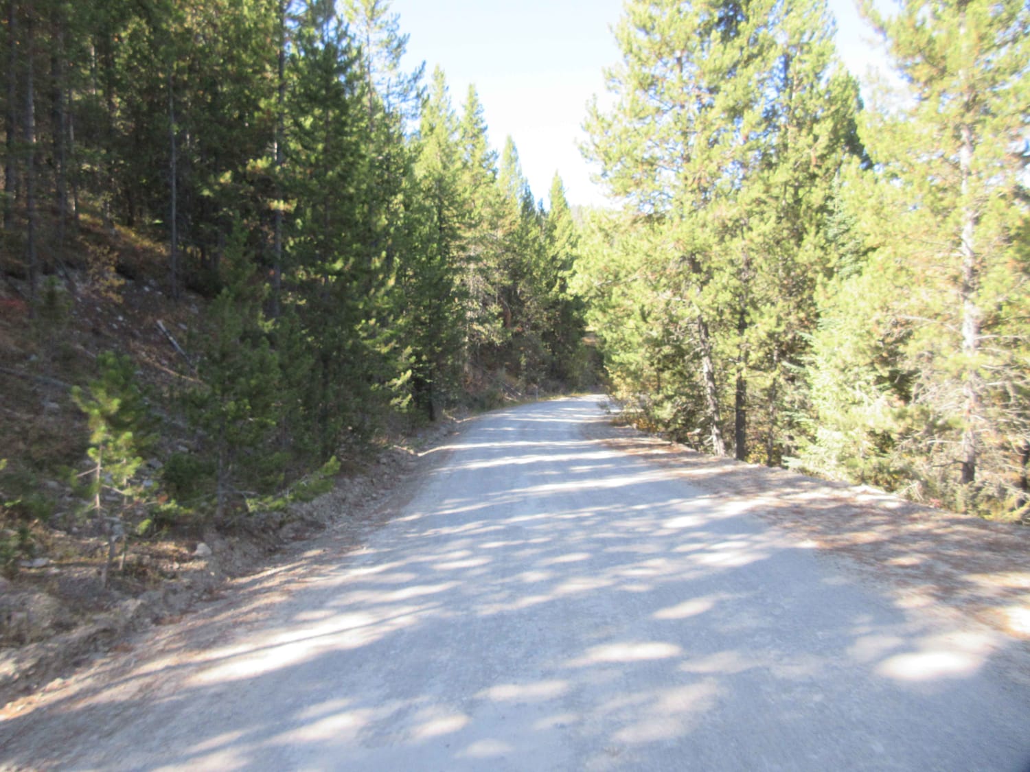
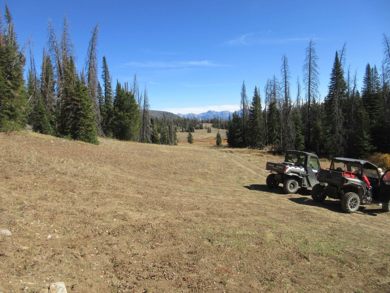
Standard Creek Road (FS237) is a beautiful climb from the Madison River Basin up into the Gravelly Range. The views are spectacular and many side trails exist for exploring. The views often show three to four separate mountain ranges in the distance. As you get up high you will get above the tree line and there are large open expanses. Depending upon the time of year the open areas will have grasses, flowers and views to stop and admire. Remember, this is not an open riding area so stay on the road. Approximately 15.5 miles from the trailhead you will find a restroom with a trail heading off behind it. This is Wolverine Basin. It is primarily a route for local hunters that is very rough with deep ruts from vehicles transiting when it was wet and muddy. It has been included here to answer the question "I wonder where that goes?". As you continue up the road you will see the Black Butte Cabin. This cabin in rentable for $25 through the Forest Service. FS237 continues for a few more miles and then intersects with Gravelly Range Road. There are areas along this route with limited cell phone service. Data is generally not available.We purposefully selected this trailhead because there is a nearby state operated rest area with an attendant and well-maintained restroom facilities. There are closer trailheads but we felt the extra mile was worth the nice facility. There is also a Forest Service restroom at the trailhead who can answer questions. When parking at the trailhead please be considerate as fisherman with trailers also use these daily. Leave room for everyone to park and enjoy the area.NOTE: This area is closes early with snow and opens later in the year (early summer). Much of the upper areas are closed from April 30 - June 30 for Elk calving.
Photos of Standard Creek Rd w/Wolverine Basin
Difficulty
This is a well-maintained Forest Service Road that can be transited by most vehicles with the ability to travel a good, gravel road. There is an occasional rock but with due care this road is passable when dry for most vehicles. There are numerous examples of people getting on the side trails far too early leaving very deep ruts and areas where they obviously go stuck. There are numerous springs that can make the side trails questionable for larger vehicles.
Popular Trails

Trapper-Chaffin

Divide Cutoff Road

Ridge Road #1005
The onX Offroad Difference
onX Offroad combines trail photos, descriptions, difficulty ratings, width restrictions, seasonality, and more in a user-friendly interface. Available on all devices, with offline access and full compatibility with CarPlay and Android Auto. Discover what you’re missing today!


