Cinnamon Buck
Total Miles
6.3
Technical Rating
Best Time
Summer, Fall
Trail Type
Single Track
Accessible By
Trail Overview
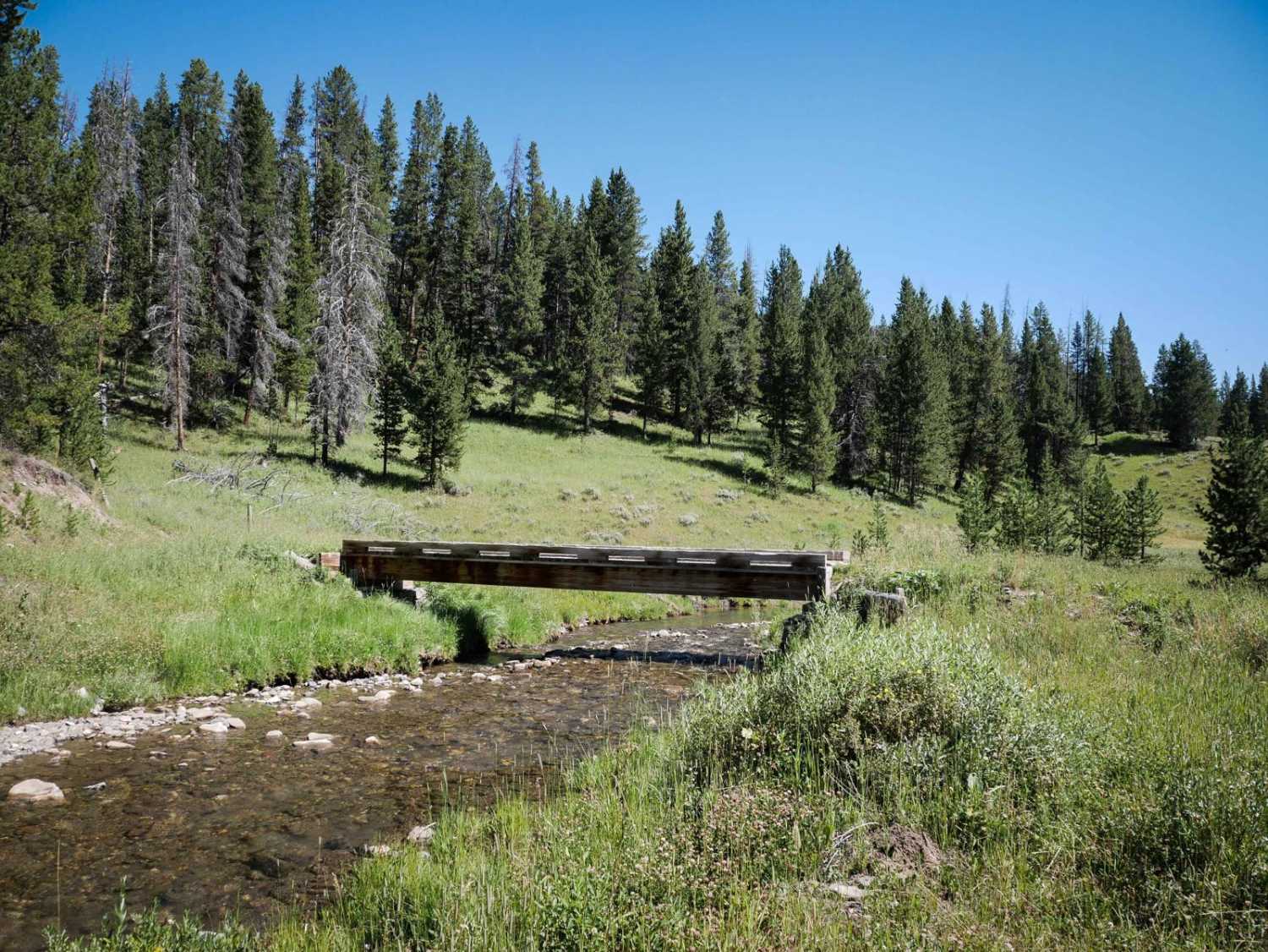
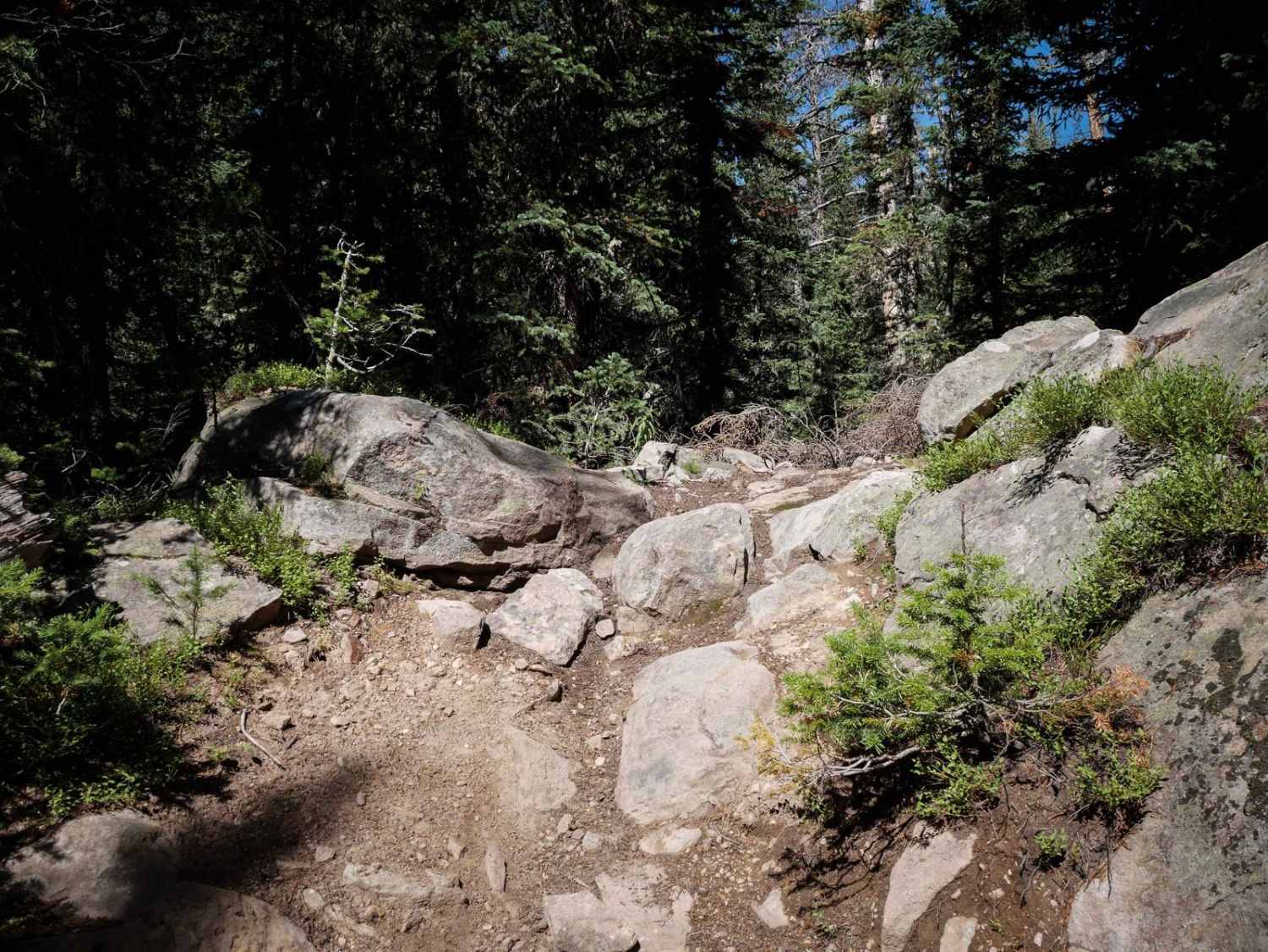
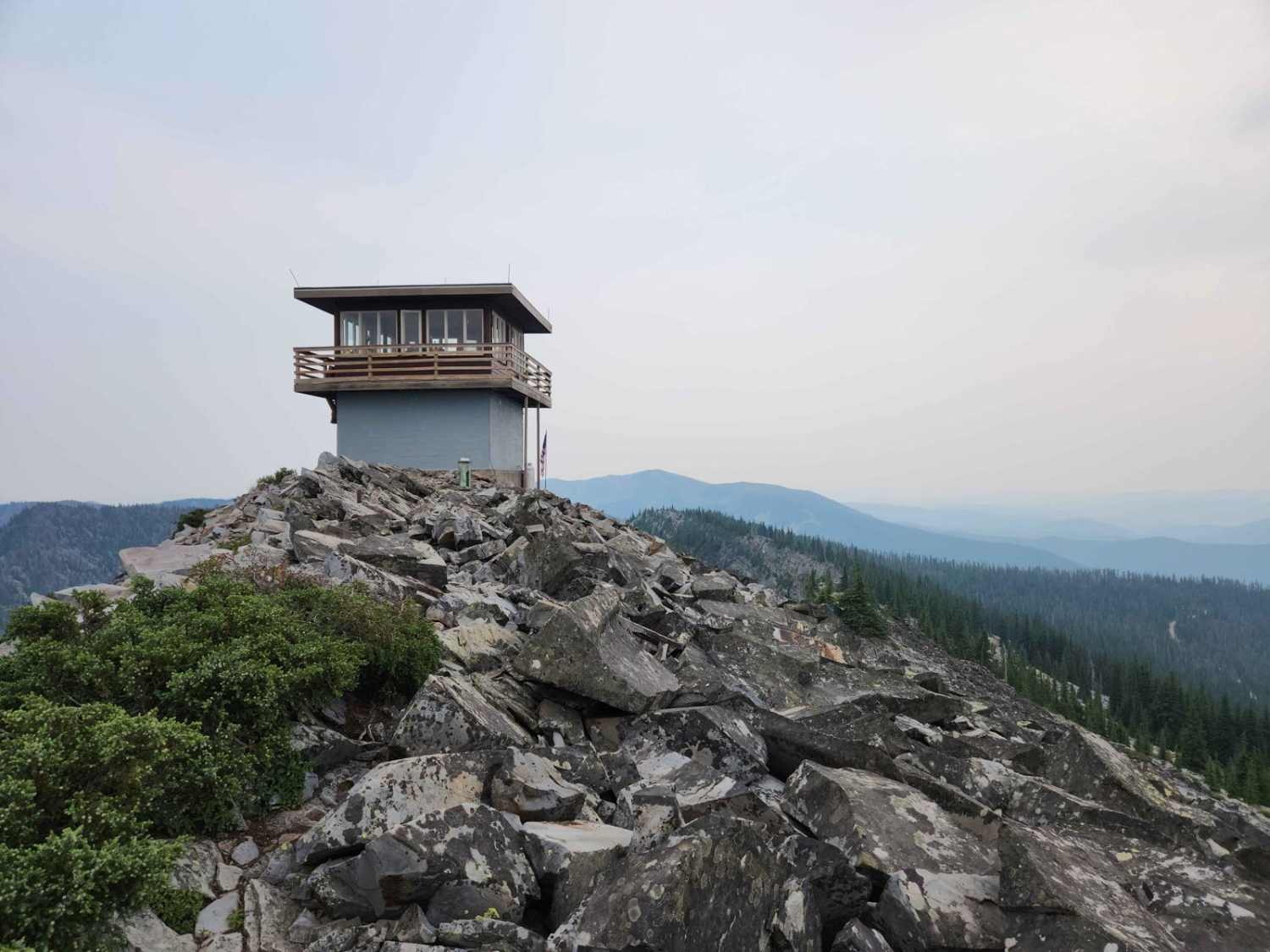
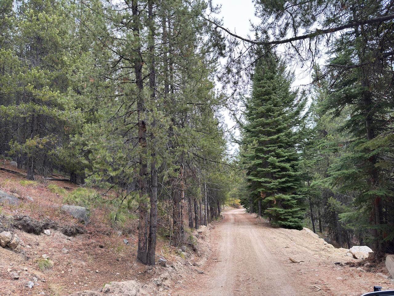
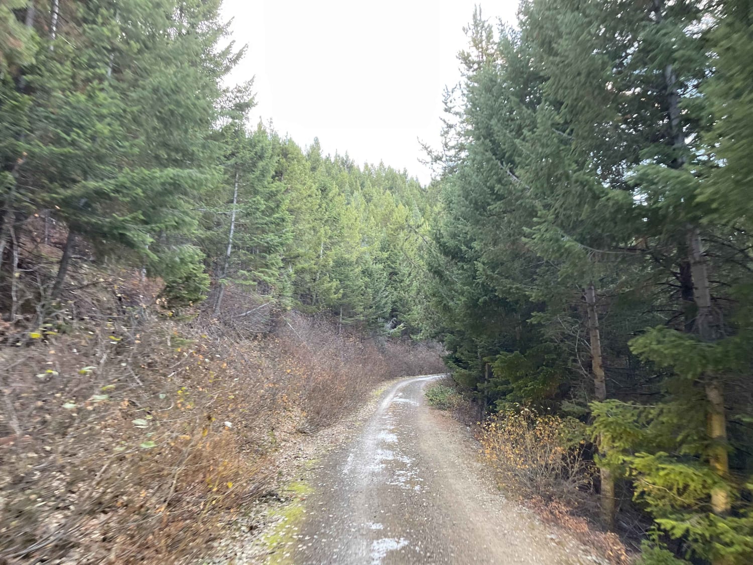
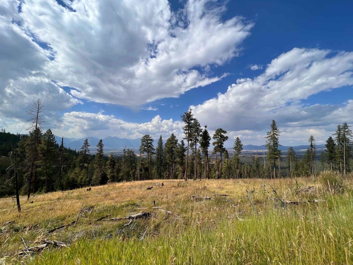
Cinnamon Buck starts on the south end after a short piece of road after the Cinnamon Meadow trail. It goes for 6.4 miles until it gets to the Buck Ridge ATV Trail. It drops down toward Buck Creek and crosses it over a wooden bridge. The trail winds up through the pine trees on a narrow easy trail, with lots of gradual curves. There are sometimes little muddy ruts and puddles that are unavoidable, and a couple of logs down that are easy enough to get over. A lot of the trail is fast and flowy and straight for a long time. There is more embedded rock in the trail as you go north, but it's still very easy to ride over fluidly. There is one rock obstacle that is moderately difficult which is a one-foot high blunt boulder ledge. This will require some skill to get the front end up and over it. There are poles along the trail to help follow the route, and you'll get incredible views once it ends on the Buck Ridge ATV Trail. This trail is open to motorcycles 7/16 - 12/1.
Photos of Cinnamon Buck
Difficulty
The majority of the trail is easy, except for one moderate rock obstacle that makes it intermediate difficulty. It's a 1 foot tall blunt rock ledge that requires some experience to get over.
Status Reports
Cinnamon Buck can be accessed by the following ride types:
- Dirt Bike
Cinnamon Buck Map
Popular Trails
Woods Ridge Loop
Middle Ambrose
The onX Offroad Difference
onX Offroad combines trail photos, descriptions, difficulty ratings, width restrictions, seasonality, and more in a user-friendly interface. Available on all devices, with offline access and full compatibility with CarPlay and Android Auto. Discover what you’re missing today!
