Eddy Peak Road
Total Miles
10.8
Technical Rating
Best Time
Summer
Trail Type
Full-Width Road
Accessible By
Trail Overview
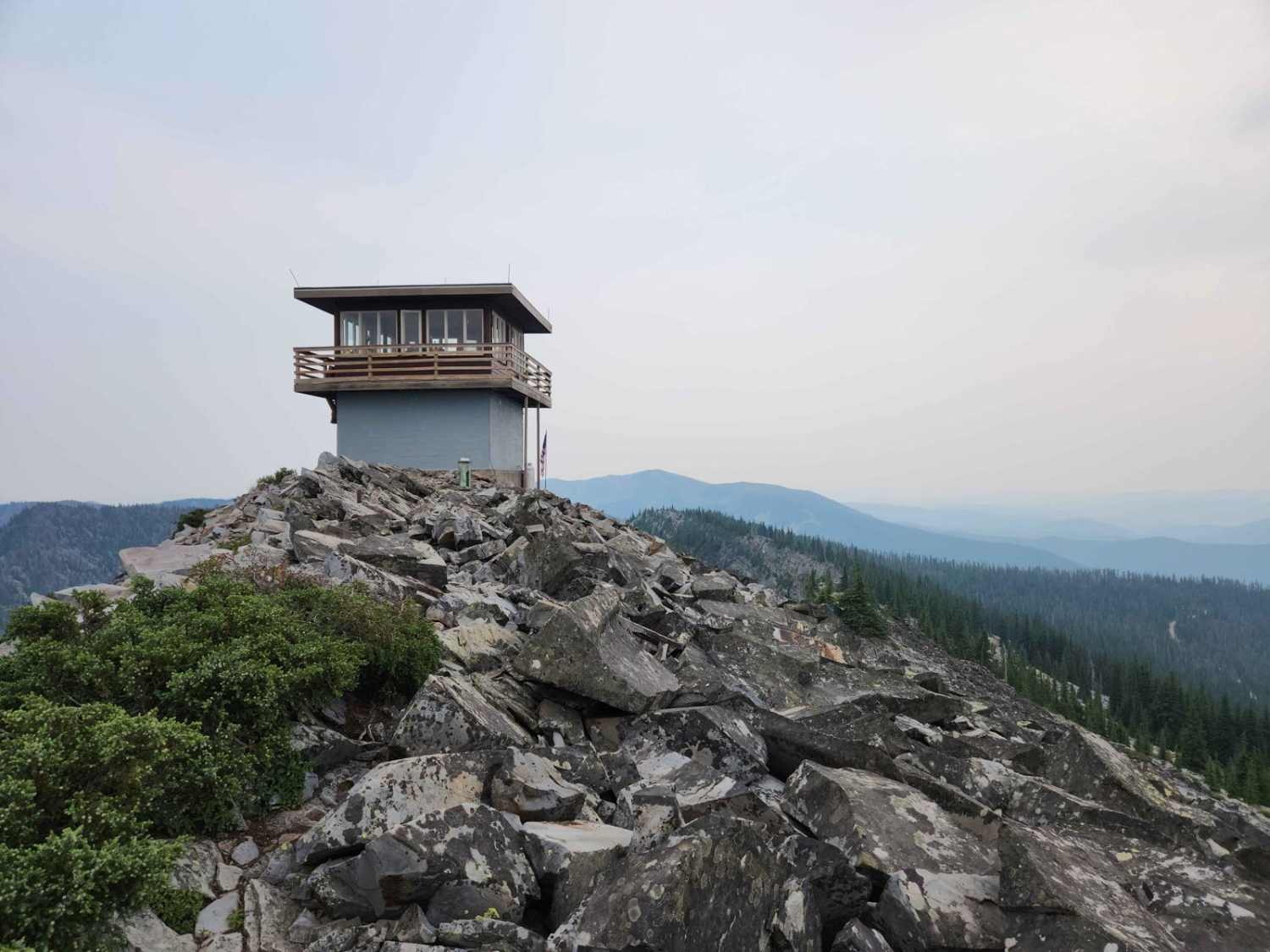
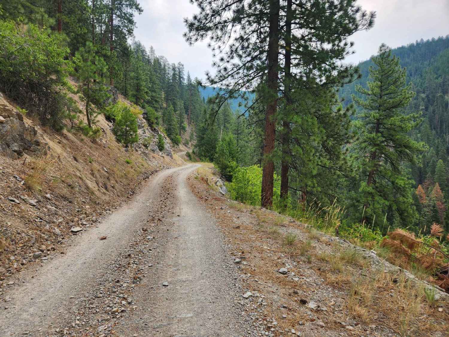
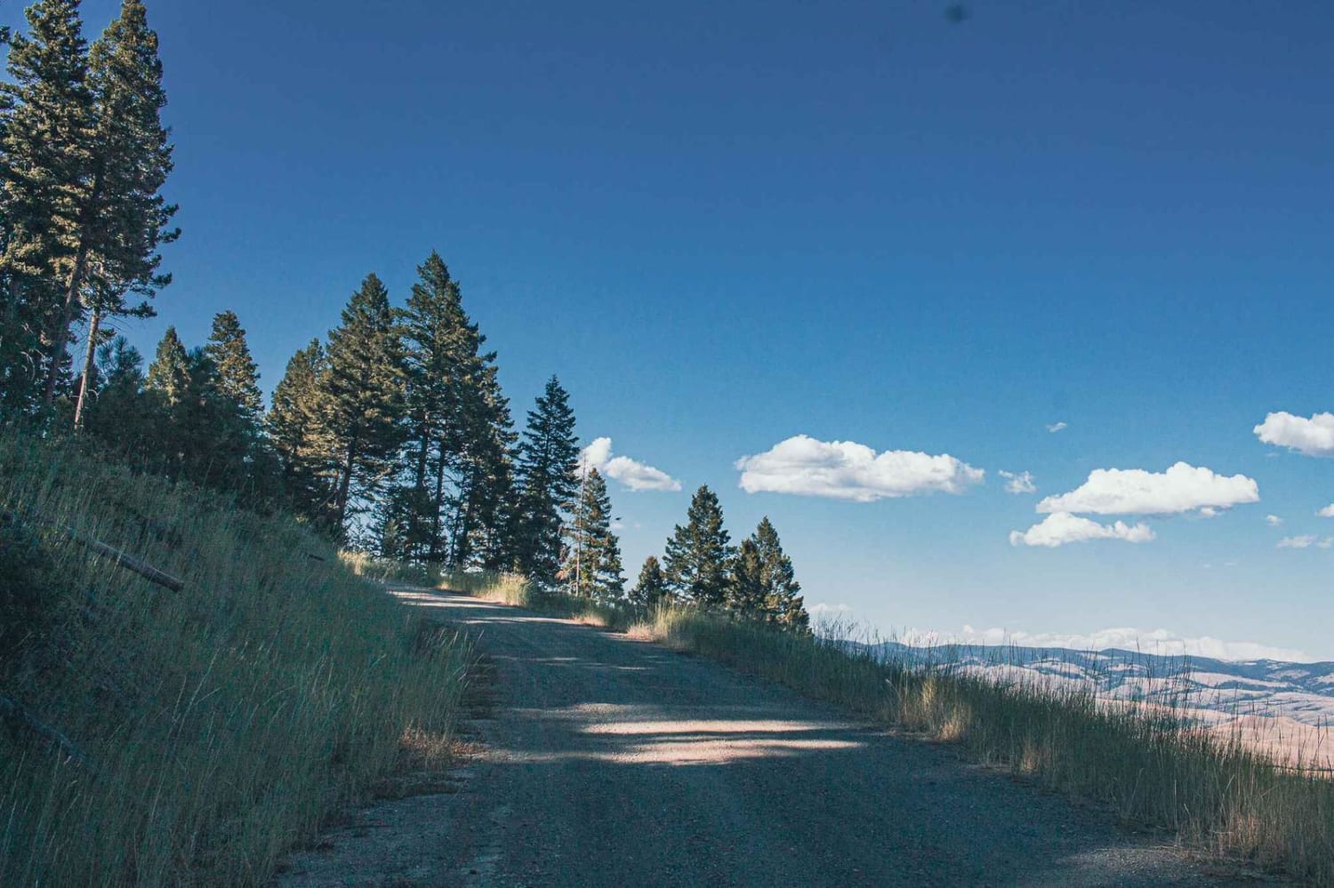
Eddy Peak Road is a moderately used out-and-back gravel route from Thompson Falls, Montana to the top of Eddy Peak. The route has sections that are narrow shelf roads with no passing room and up to six percent inclines of the roadbed. The road is in good condition, though inclement weather and snow can make it more treacherous. The route was gated with 0.7 of a mile remaining to the end of the road, with an additional 170 yards on a shale trail to the manned fire lookout tower at the top. There is also an obscured hiking trail just uphill from the closed gate that will take you on a 1.6-mile steep rock path down to Outlaw Lake. There is a weathered sign with the word, "Water" to show the entrance to the hiking route. There are numerous friendly ground squirrels, pika, and deer in the area, but the mountain goats that used to frequent the area are now gone. There are no restroom facilities or services on the route, though cell service was sometimes available. The closest point of assistance is the city of Thompson Falls. The USFS lookout tower has visiting hours of 9am to 6pm six days a week when operational.
Photos of Eddy Peak Road
Difficulty
The grade of the road can be as much as 6 percent and not always able to pass other vehicles.
Status Reports
Eddy Peak Road can be accessed by the following ride types:
- High-Clearance 4x4
- SUV
- SxS (60")
- ATV (50")
- Dirt Bike
Eddy Peak Road Map
Popular Trails

Forest Service (FS) #2127-1
Trail #185 (Part 2)
Meeteetse Trail
The onX Offroad Difference
onX Offroad combines trail photos, descriptions, difficulty ratings, width restrictions, seasonality, and more in a user-friendly interface. Available on all devices, with offline access and full compatibility with CarPlay and Android Auto. Discover what you’re missing today!
