East Morrell
Total Miles
4.9
Technical Rating
Best Time
Fall, Summer, Spring
Trail Type
Full-Width Road
Accessible By
Trail Overview
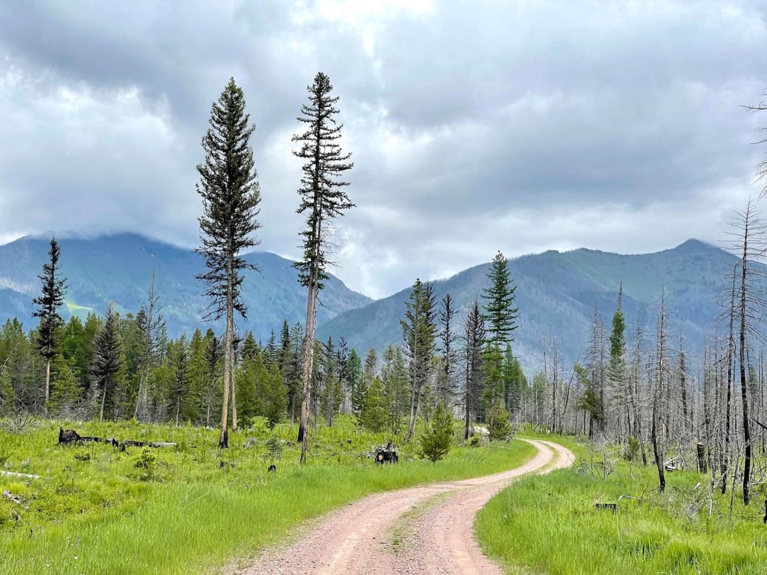
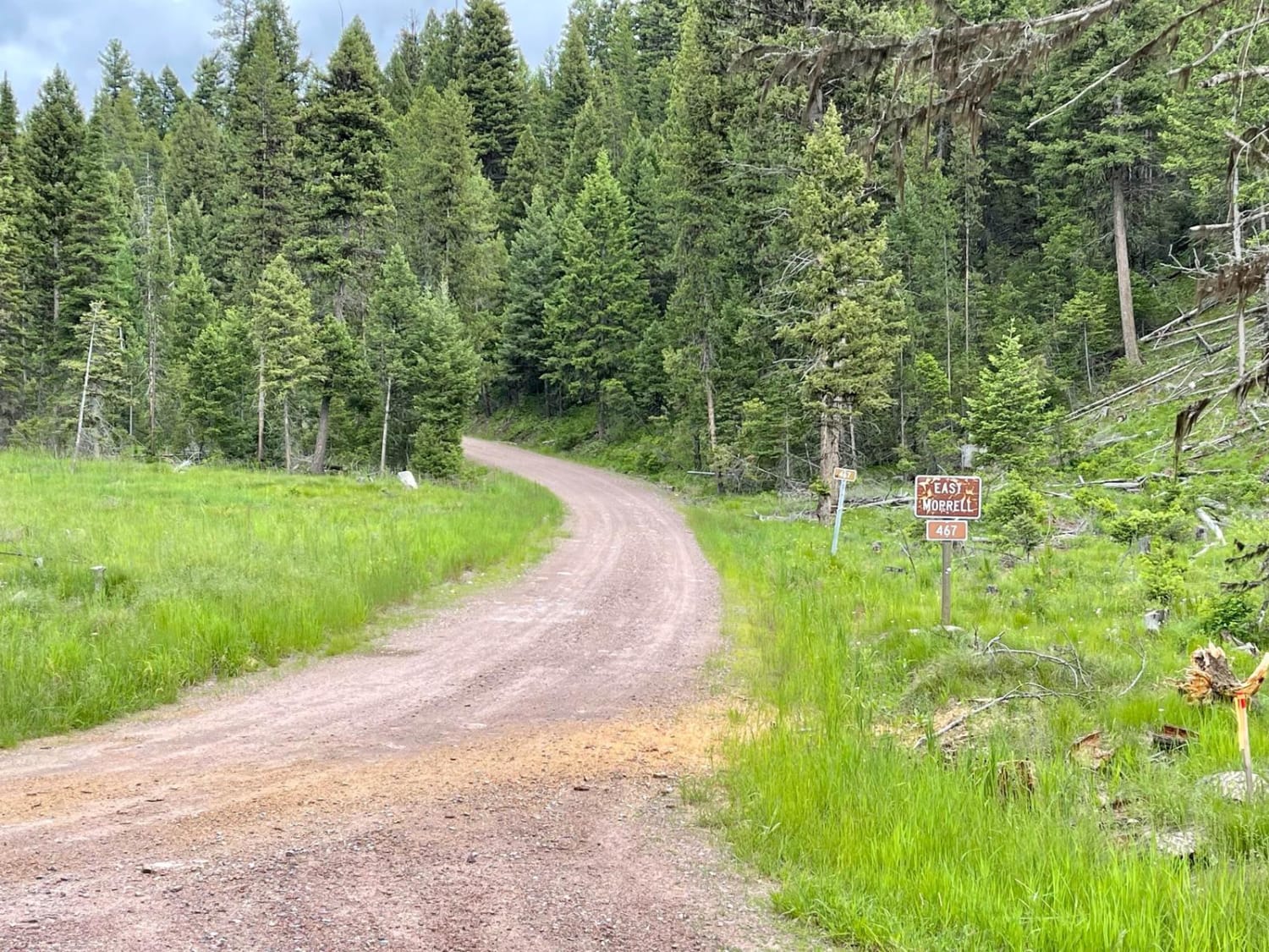
This easy out-and-back trail runs through the middle of the valley and appears to have been the fire line for the most recent big fire in the area. Burned to the South and East and lush to the Northwest. The mountain views are unbeatable as you twist your way along. There are a few marshy areas and plenty of little offshoots, some even without gates to explore further or find a perfect camping spot. The beginning of the trail is wider, with more options to pass oncoming. The further one travels, the more dense it becomes until you are finally in a thick forest with sounds of running water all around and mossy wetness hanging in the air. The trail's end is a dead end and doesn't seem to continue from there. The turnaround spot is tight, even for a medium-sized rig. Along the way, some sizable camping spots would make for a lovely evening, complete with a few bars of Verizon LTE cell service.
Photos of East Morrell
Difficulty
The narrow end of the trail and a tight turnaround. There are also some rocky climbs and deeper potholes filled with mud closer to the end. There is no winter maintenance, and you may have to clear deadfall after a storm or in the springtime.
Status Reports
East Morrell can be accessed by the following ride types:
- High-Clearance 4x4
- SUV
- SxS (60")
- ATV (50")
- Dirt Bike
East Morrell Map
Popular Trails
Eagle Nest River Access
Cedar Creek Road - Oregon Lakes
Hell Roaring Canyon
Negro Mountain Treasure Mountain
The onX Offroad Difference
onX Offroad combines trail photos, descriptions, difficulty ratings, width restrictions, seasonality, and more in a user-friendly interface. Available on all devices, with offline access and full compatibility with CarPlay and Android Auto. Discover what you’re missing today!
