Emery Creek
Total Miles
6.4
Technical Rating
Best Time
Summer, Spring, Fall
Trail Type
Full-Width Road
Accessible By
Trail Overview
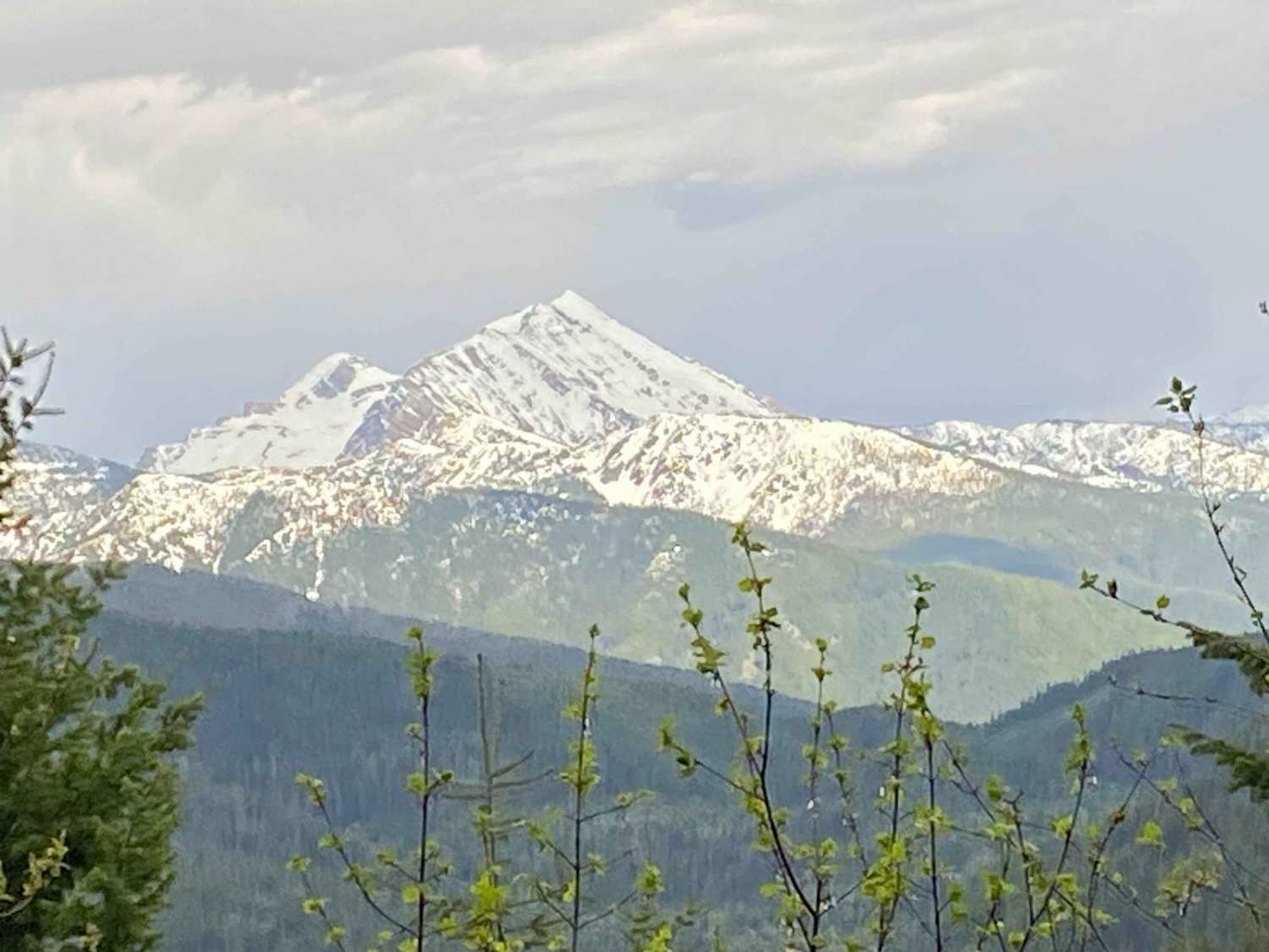
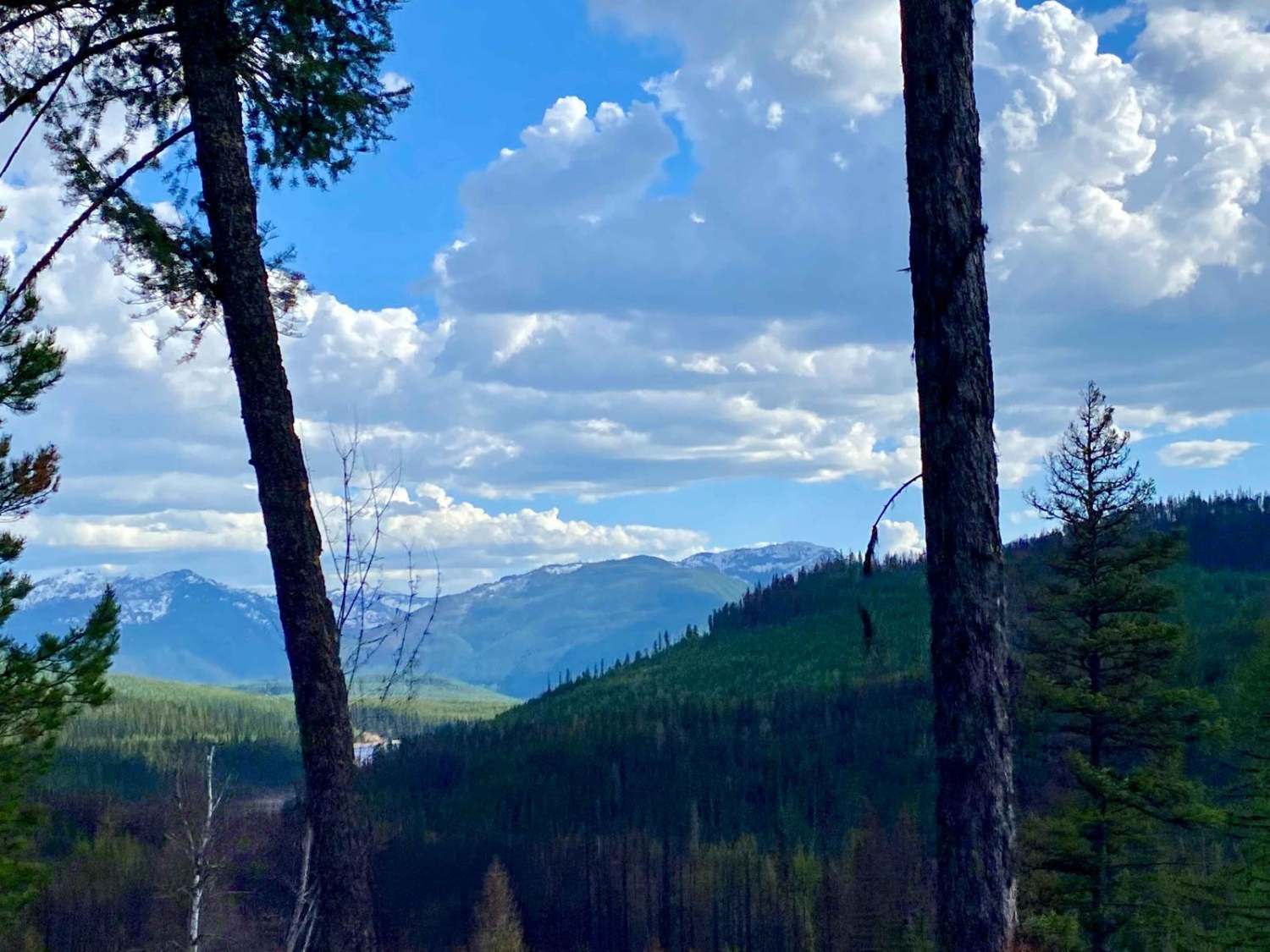
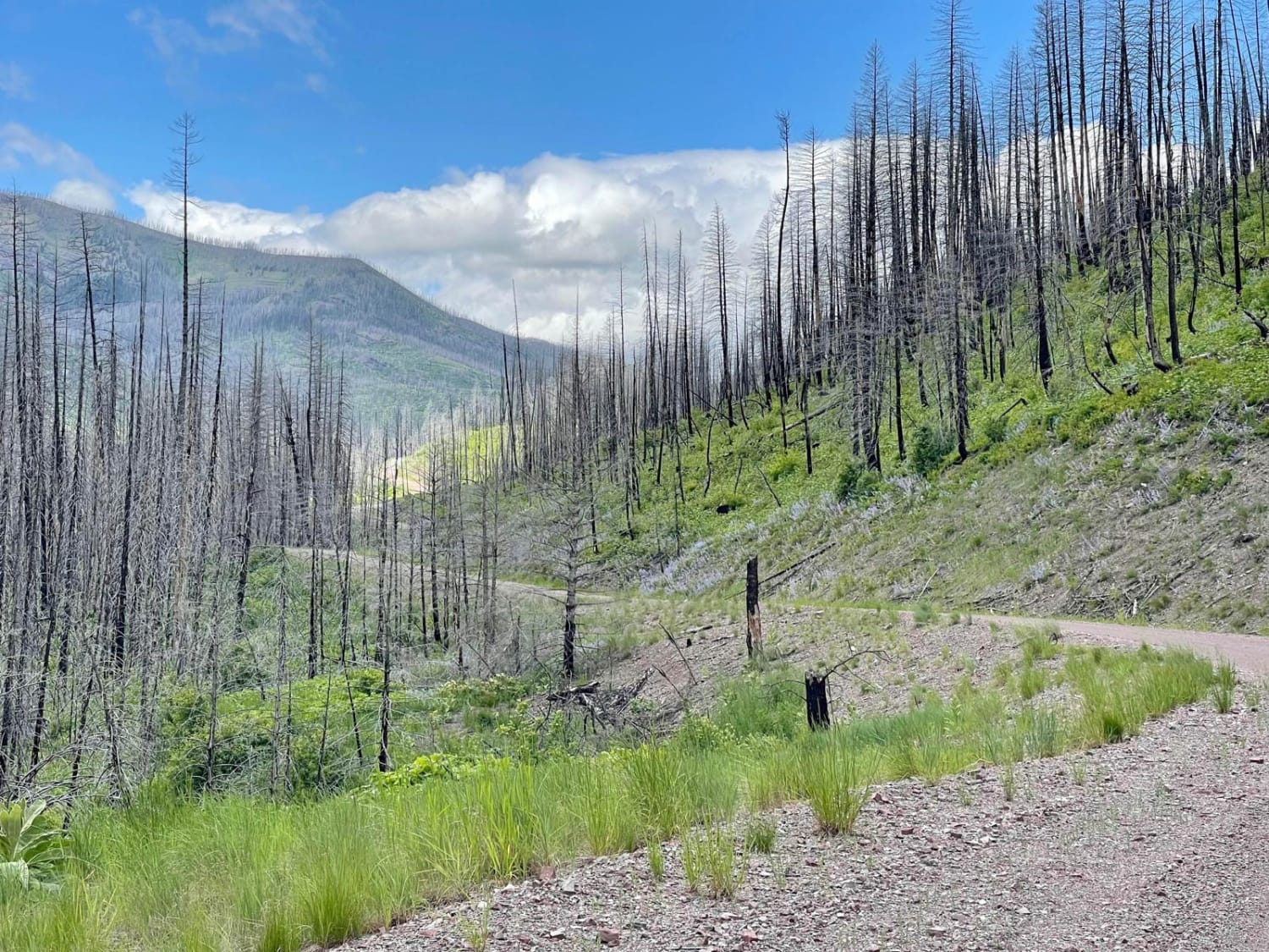
This is a beautiful drive into areas of dense woods, mountain creeks, and seasonal waterfalls, with up-close views of the Great Northern Mountain. In the spring, be aware of lingering snow and clay mud, as parts of the trail are slow to melt. There are a few camping sites, dense trails, and lots of creeks to play in with a wide variety of plants, including huckleberries. A small section of the Emery Creek Road passes through a wildfire burn area from 2023. If you start the journey at Desert Mountain, you end up intersecting the South Fork Flathead Road at Emery Bay. It's a great spot to swim, fish, or camp.
Photos of Emery Creek
Difficulty
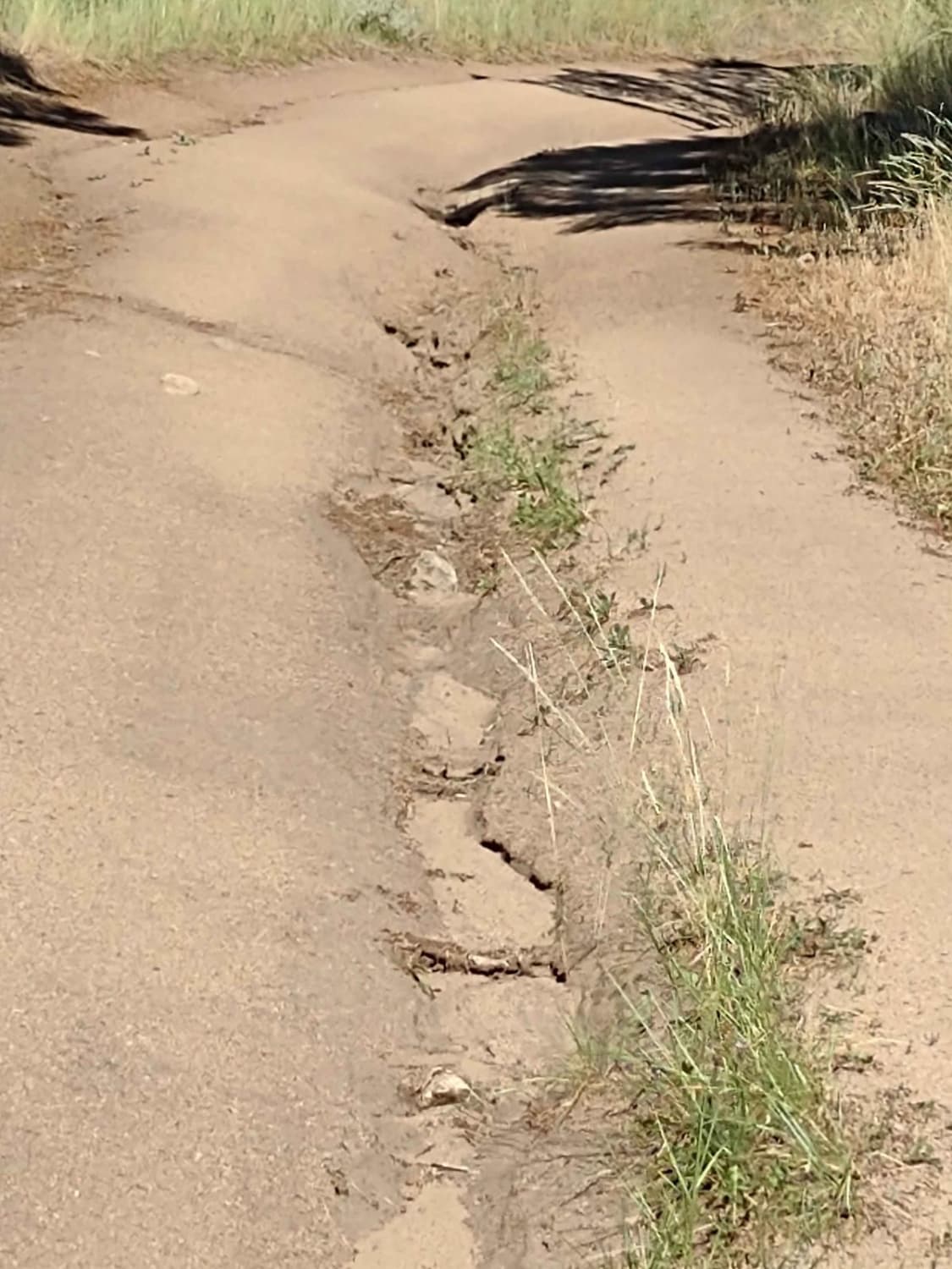
Snow melts late on parts of the road, creating deep snow fields on a steep road and muddy areas. This makes it more difficult for low-clearance vehicles.
Status Reports
Popular Trails

High Mountain Meadows

Bangtail Creek Loop ATV

Bass Overlook Trail
The onX Offroad Difference
onX Offroad combines trail photos, descriptions, difficulty ratings, width restrictions, seasonality, and more in a user-friendly interface. Available on all devices, with offline access and full compatibility with CarPlay and Android Auto. Discover what you’re missing today!


