Fish Creek Ridge Road (FS 9626)
Total Miles
3.8
Technical Rating
Best Time
Summer
Trail Type
High-Clearance 4x4 Trail
Accessible By
Trail Overview
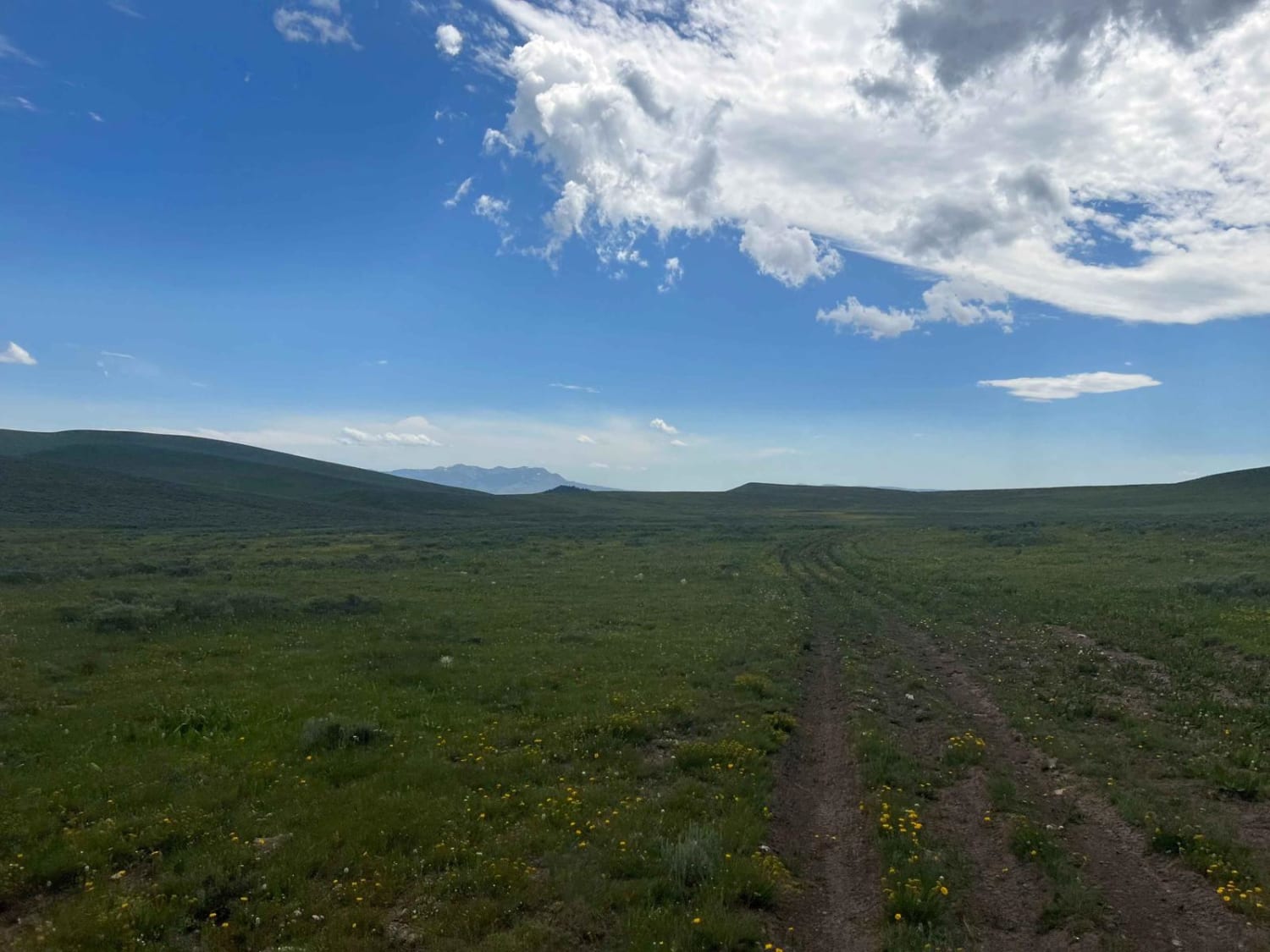
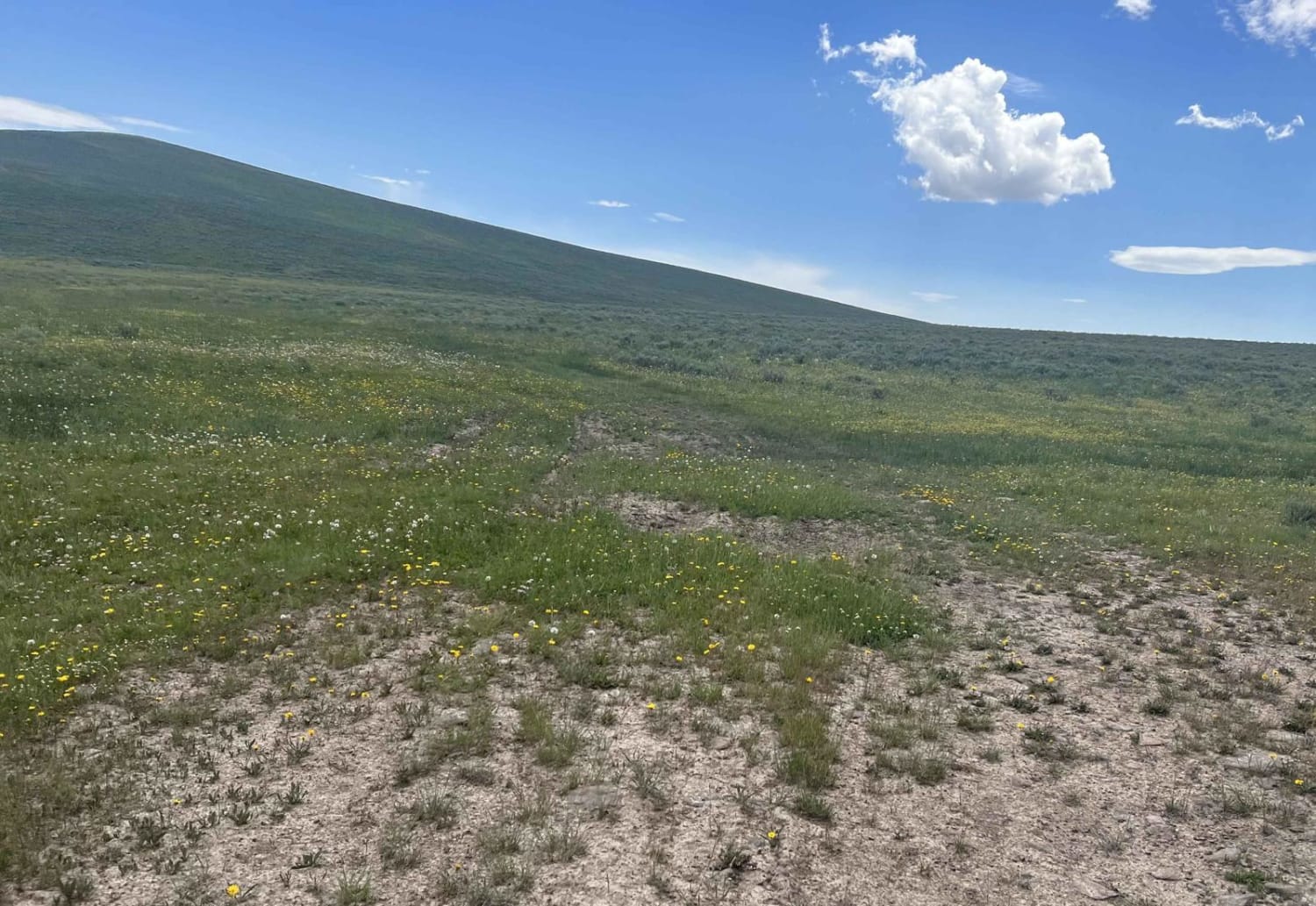
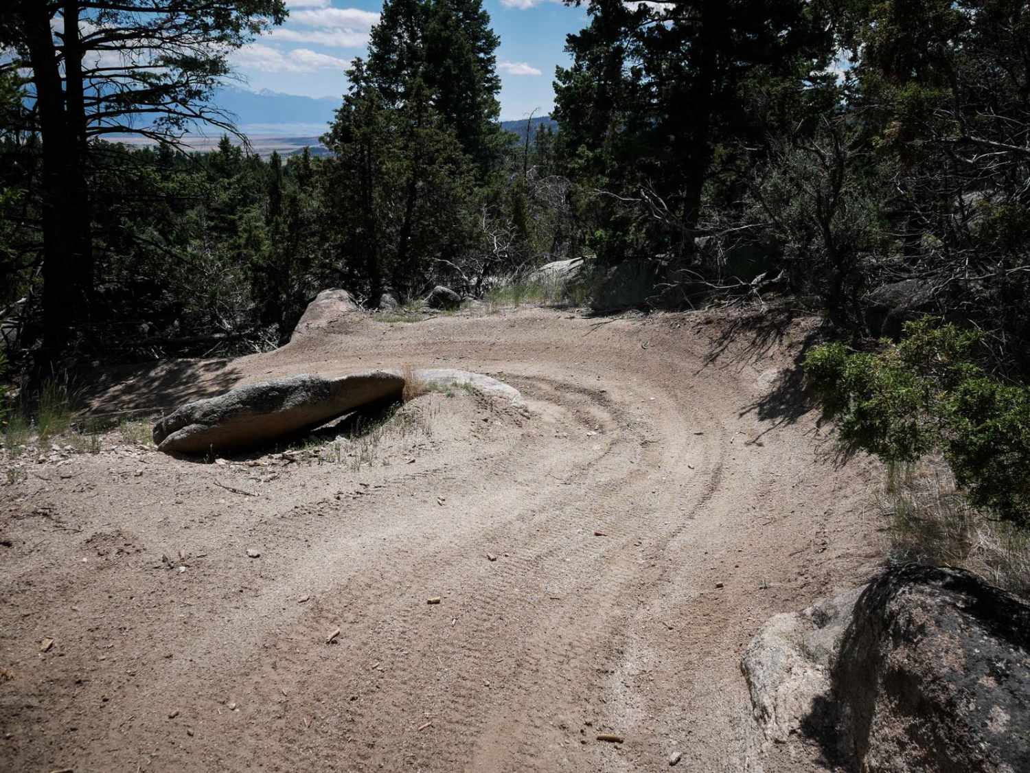
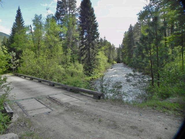
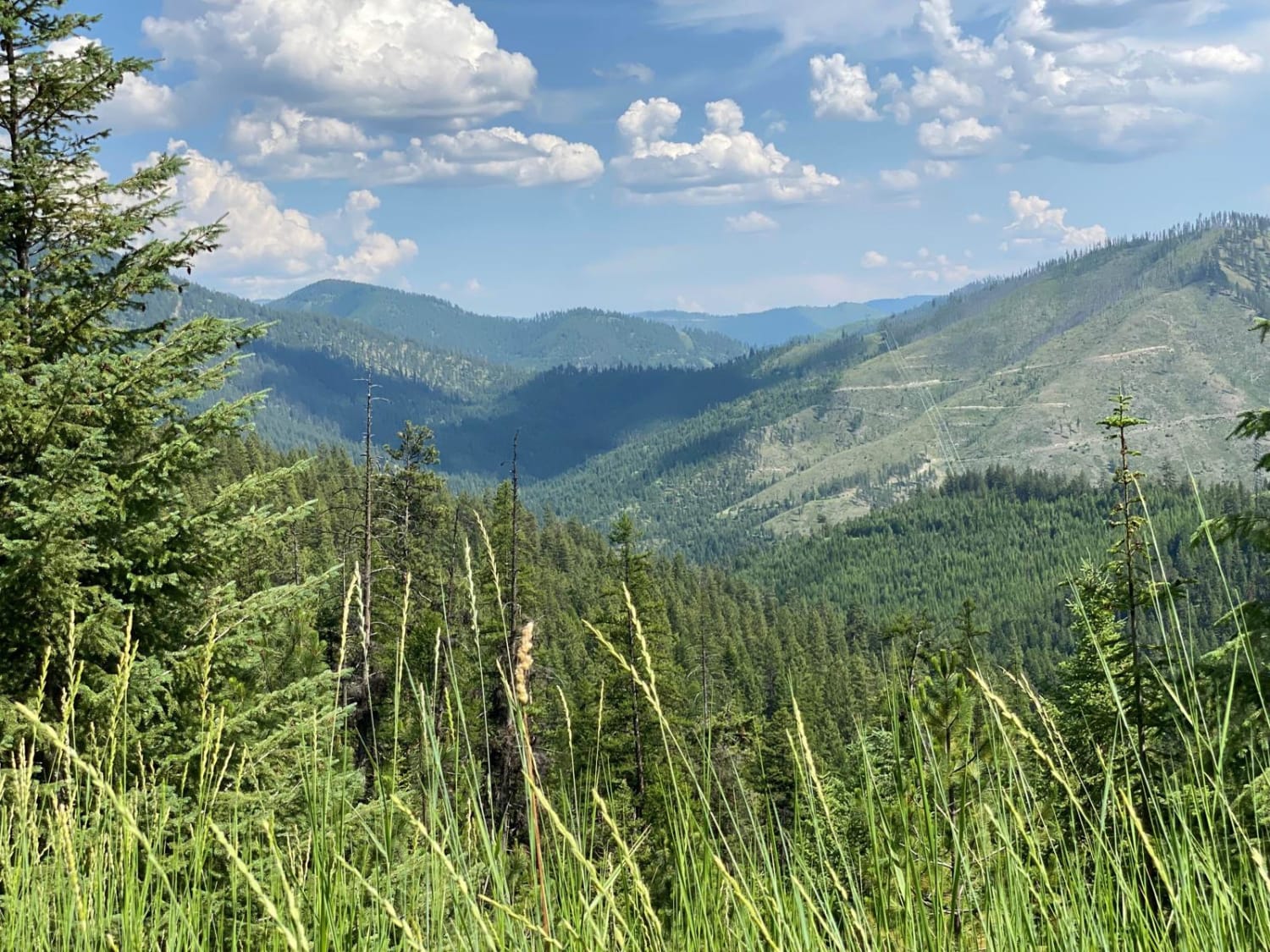
If you're not careful, you will drive past this trail from either end. The only thing marking a trail on the Eureka Basin end is a very old FS sign that informs you that this trail is restricted to specific times of the year. It opens in Jul and closes in March. The route is not used, and the only way we stayed on the trail, as required by the FS, is by using the GPS track and carefully watching for changes in the deep grass showing previous vehicles. There are numerous small streams to cross, and the area appears to be boggy and soft if there has been any rain or snow recently. There really is nothing spectacular along this track other than it will get you down to Fish Creek Lake Road other than some long-range views.
Photos of Fish Creek Ridge Road (FS 9626)
Difficulty
There are numerous small stream and muddy areas that cause issues if there has been any recent rain or snow. Please do not use this track as you will leave tracks in a pristine mountain meadow area. Please remember our Tread Lightly principles.
Status Reports
Fish Creek Ridge Road (FS 9626) can be accessed by the following ride types:
- High-Clearance 4x4
- ATV (50")
- Dirt Bike
Fish Creek Ridge Road (FS 9626) Map
Popular Trails
West Side Pardee Creek Road - Old Hwy 10
Miller Mountain Road
The onX Offroad Difference
onX Offroad combines trail photos, descriptions, difficulty ratings, width restrictions, seasonality, and more in a user-friendly interface. Available on all devices, with offline access and full compatibility with CarPlay and Android Auto. Discover what you’re missing today!
