Jocko Canyon
Total Miles
4.9
Technical Rating
Best Time
Spring, Summer, Fall
Trail Type
Full-Width Road
Accessible By
Trail Overview
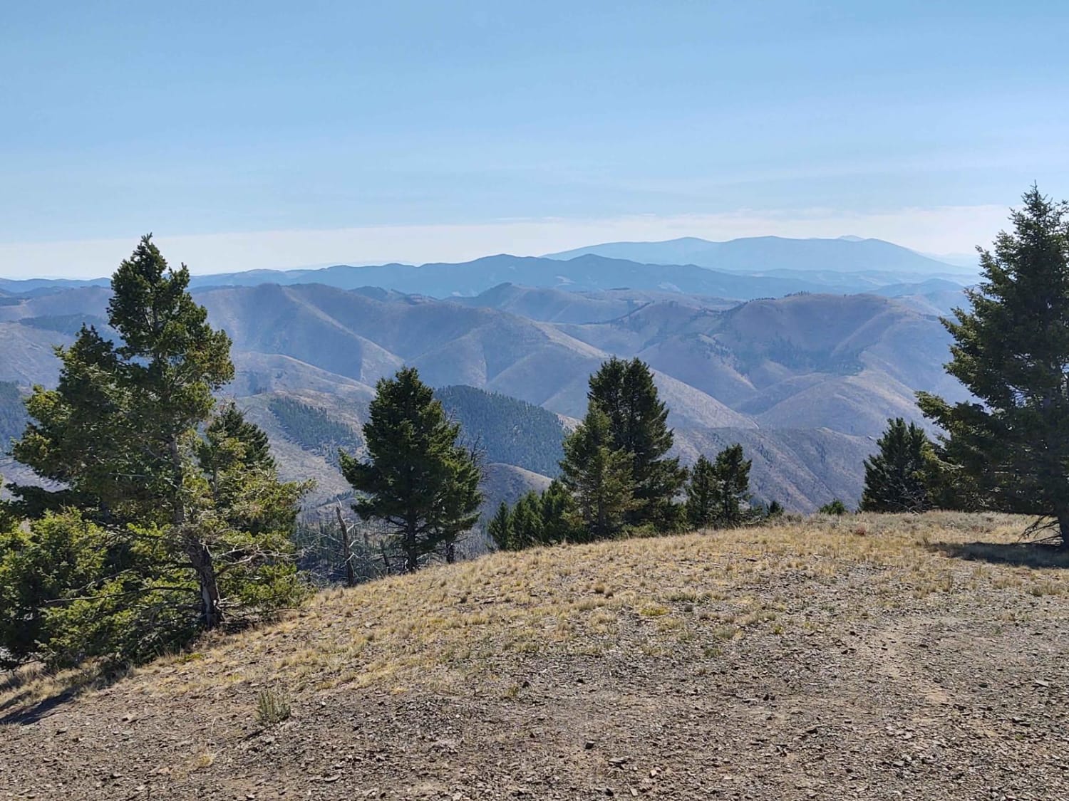
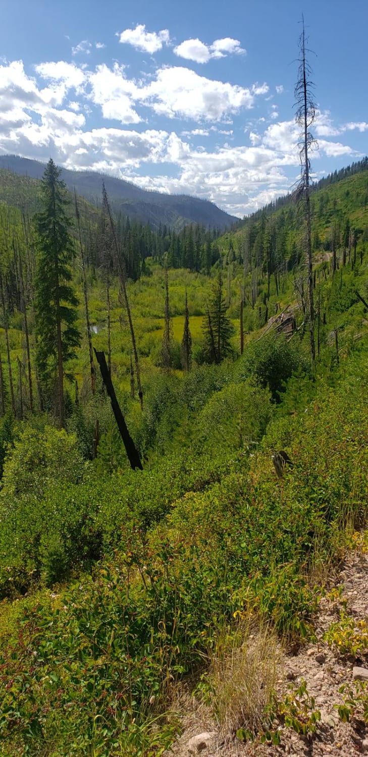
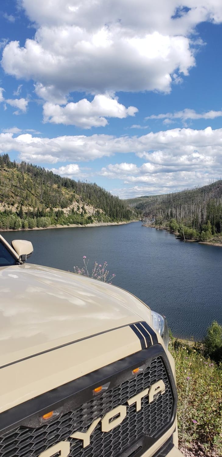
This is a scenic shortcut from Seeley Lake to Arlee. It is a rough and rocky dirt road that is 1-2 vehicles wide. The Jocko River and Lake system is visible for most of the trail. There's a waterfall that cascades next to and then under the road. Abundant undeveloped camping sites are available. Several trails depart this main trail and allow you to explore the Mission and Swan Mountain Ranges. Cell service is available for most of the trail. Be aware of recreation and fishing regulations, as part of the trail is on Flathead Tribal land. This means the Jocko Lake system is only allowed to be used by Flathead Tribal members. Signage is posted.
Photos of Jocko Canyon
Difficulty
This is just your average rough dirt mountain road. There are no obstacles.
History
The Jocko Lakes Fire spread through this area in 2007. "Jocko" was named for Jacques Raphael Finlay, a trapper/fur trader in the area from 1806 to 1809.
Status Reports
Popular Trails

Hedges Mountain

Granite Mine Ghost Town

Lower Buck Ridge ATV
The onX Offroad Difference
onX Offroad combines trail photos, descriptions, difficulty ratings, width restrictions, seasonality, and more in a user-friendly interface. Available on all devices, with offline access and full compatibility with CarPlay and Android Auto. Discover what you’re missing today!


