Sluice Creek
Total Miles
10.5
Technical Rating
Best Time
Fall, Summer, Spring
Trail Type
Full-Width Road
Accessible By
Trail Overview
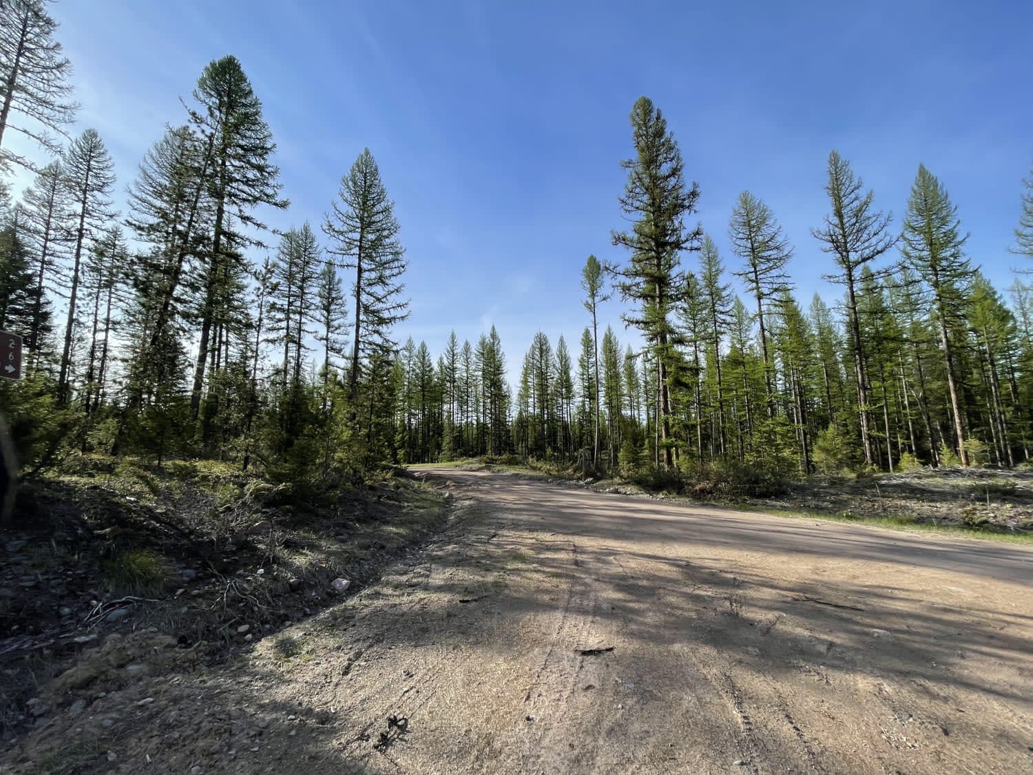
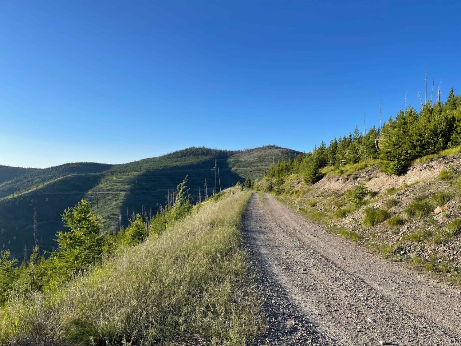
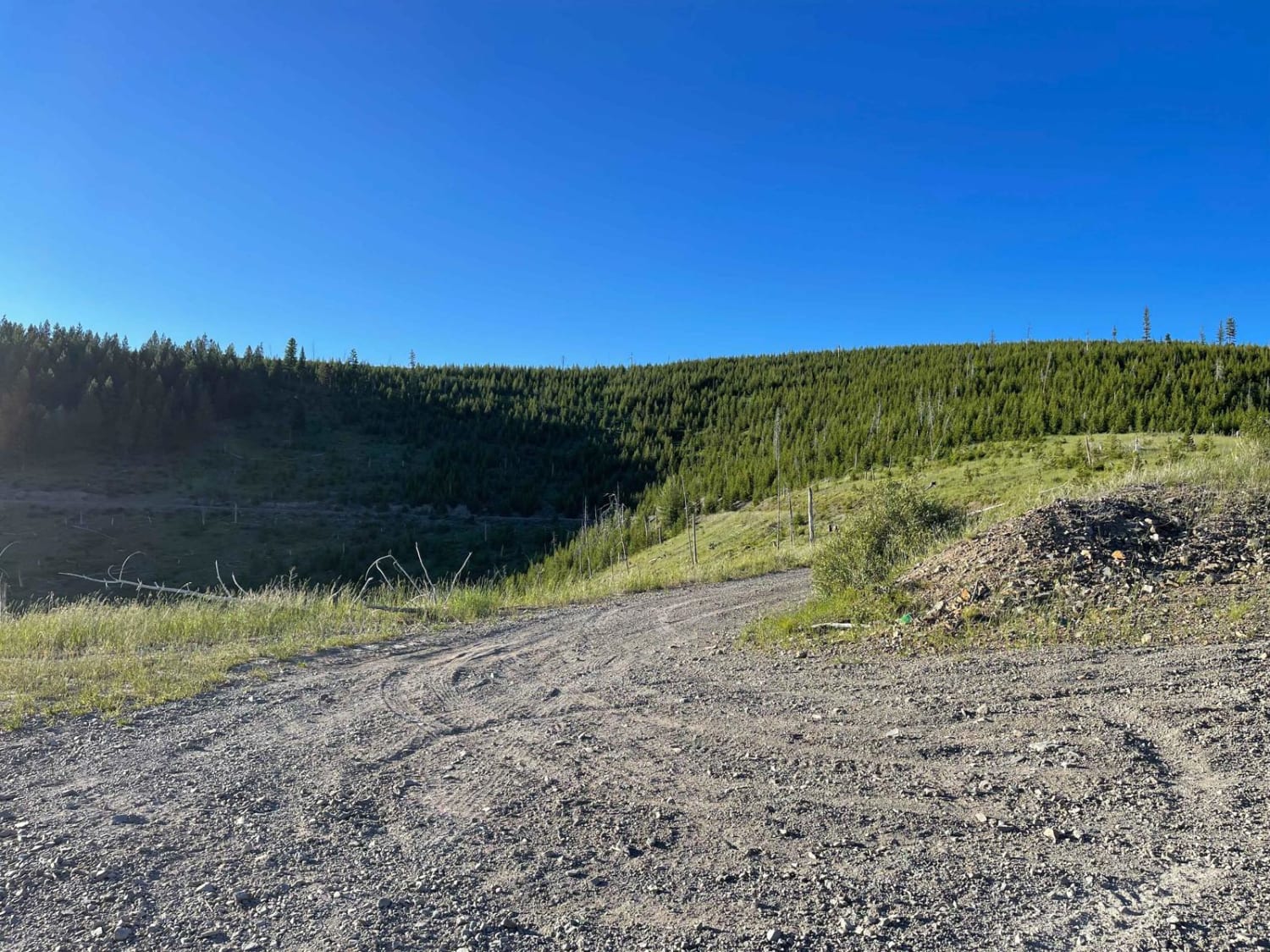
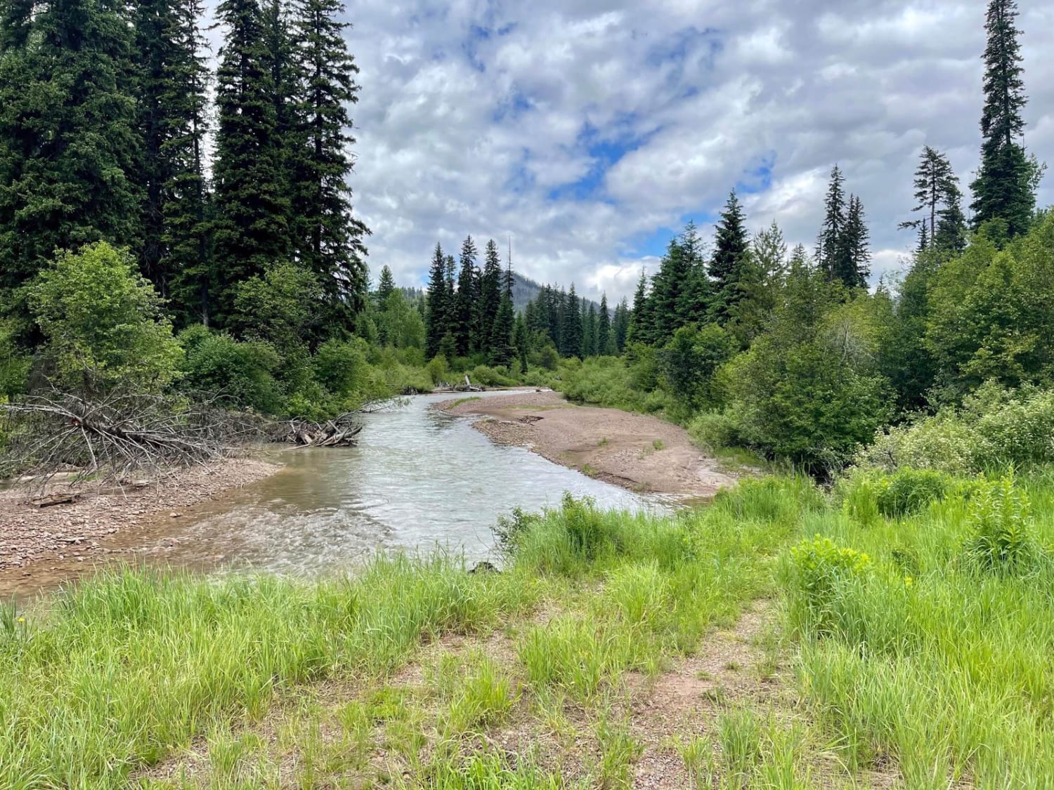
This is a rocky twisty ridge road. It's open seasonally with a gate near the first bottom switchback. The trail has fantastic views of the Bitterroot Valley and Sapphire Range. The trail is loose and rocky; in some spots, rockslides and loose hills could leave large impassable boulders in the way. There are a few deeper transitions and some waterholes from springs that appear to run year-round. Some sections are very narrow, with low trees and steep shelves that drop far to the valley below. If you enjoy camping, right along the main trail there are a few dispersed camping spots. This is a great connector trail with the 8-mile trail to make a nice loop. There is full LTE cell service at the top and none in the valley at the bottom.
Photos of Sluice Creek
Difficulty
This trail is primarily easy, but it does get narrow with low trees. Rockslides and winter weather could make it impassable. There are some deeper transitions with waterholes from the springs. There are a few tighter switchbacks as well. Paint damage is possible.
Status Reports
Sluice Creek can be accessed by the following ride types:
- High-Clearance 4x4
- SUV
- SxS (60")
- ATV (50")
- Dirt Bike
Sluice Creek Map
Popular Trails

Salish Trapper

Powerline Road

Bridger Mountains
The onX Offroad Difference
onX Offroad combines trail photos, descriptions, difficulty ratings, width restrictions, seasonality, and more in a user-friendly interface. Available on all devices, with offline access and full compatibility with CarPlay and Android Auto. Discover what you’re missing today!


