Trail 21
Total Miles
3.0
Technical Rating
Best Time
Spring, Summer, Fall
Trail Type
50" Trail
Accessible By
Trail Overview
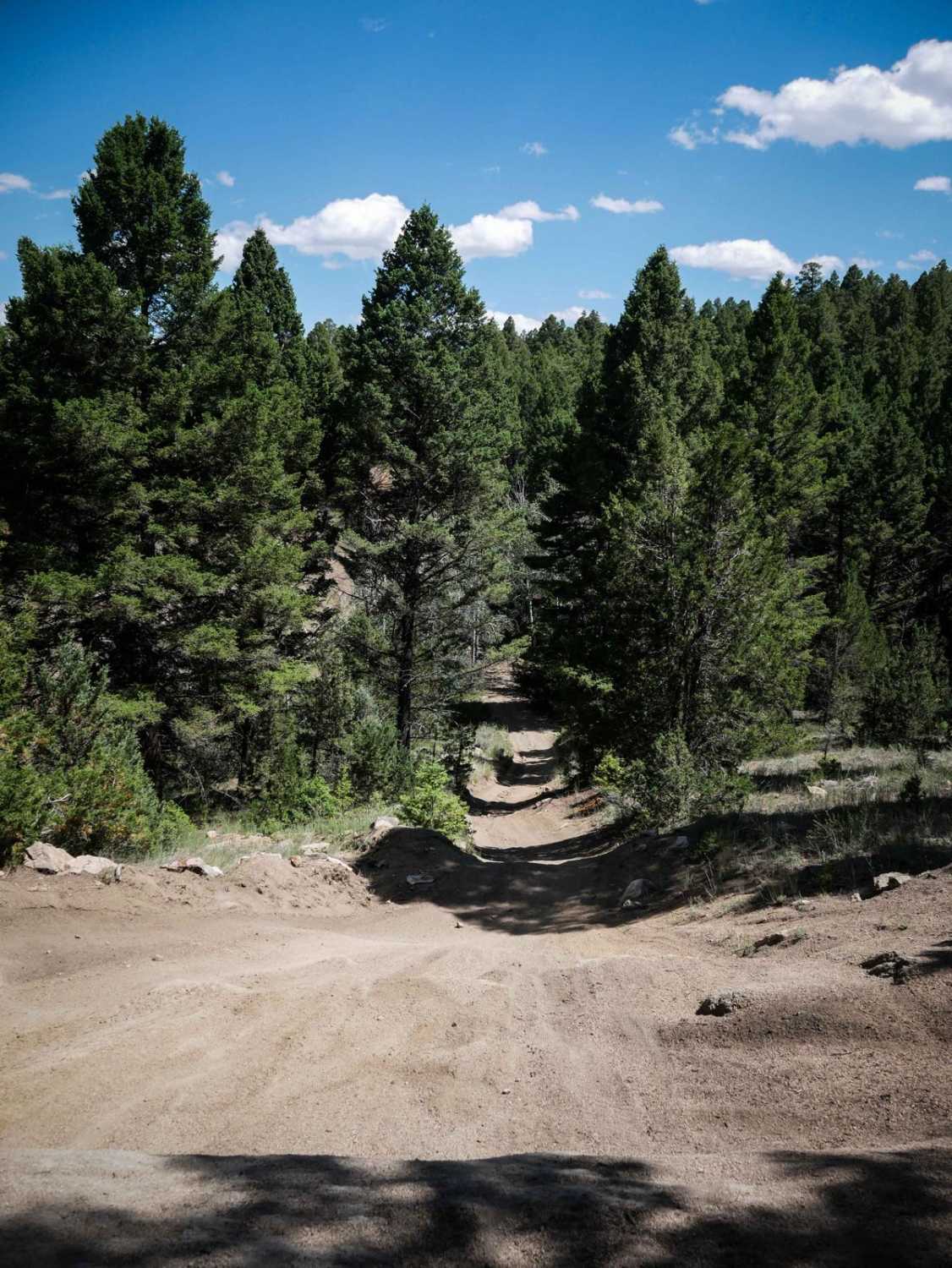
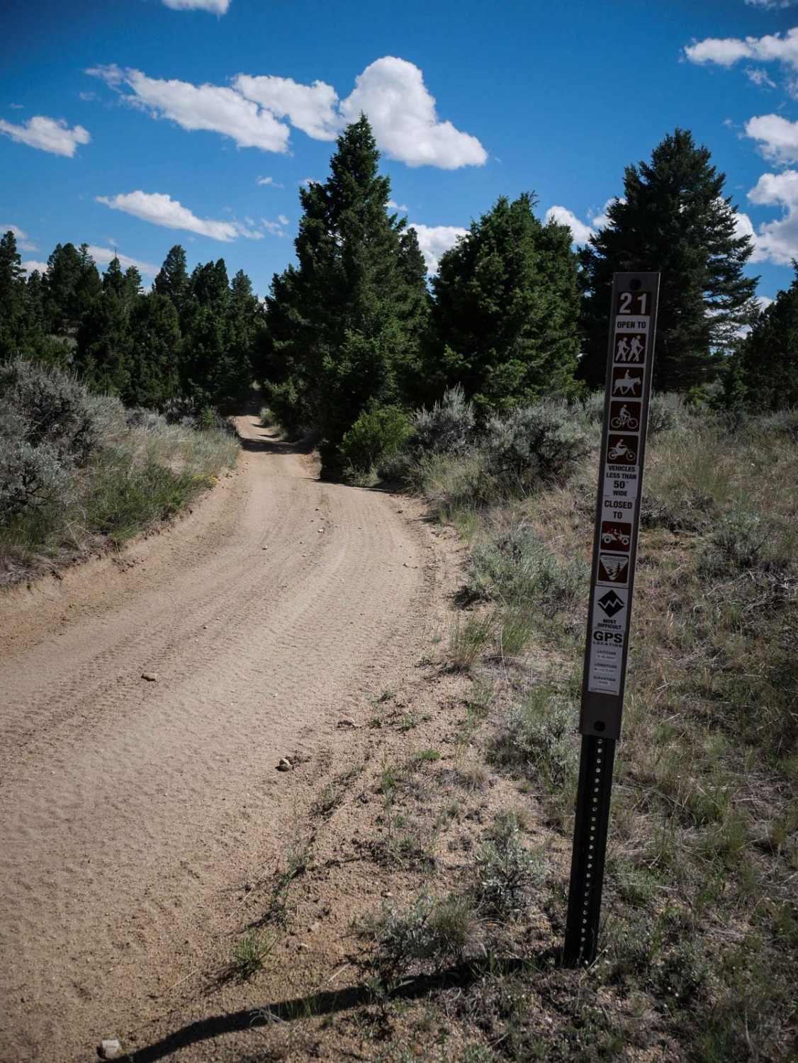
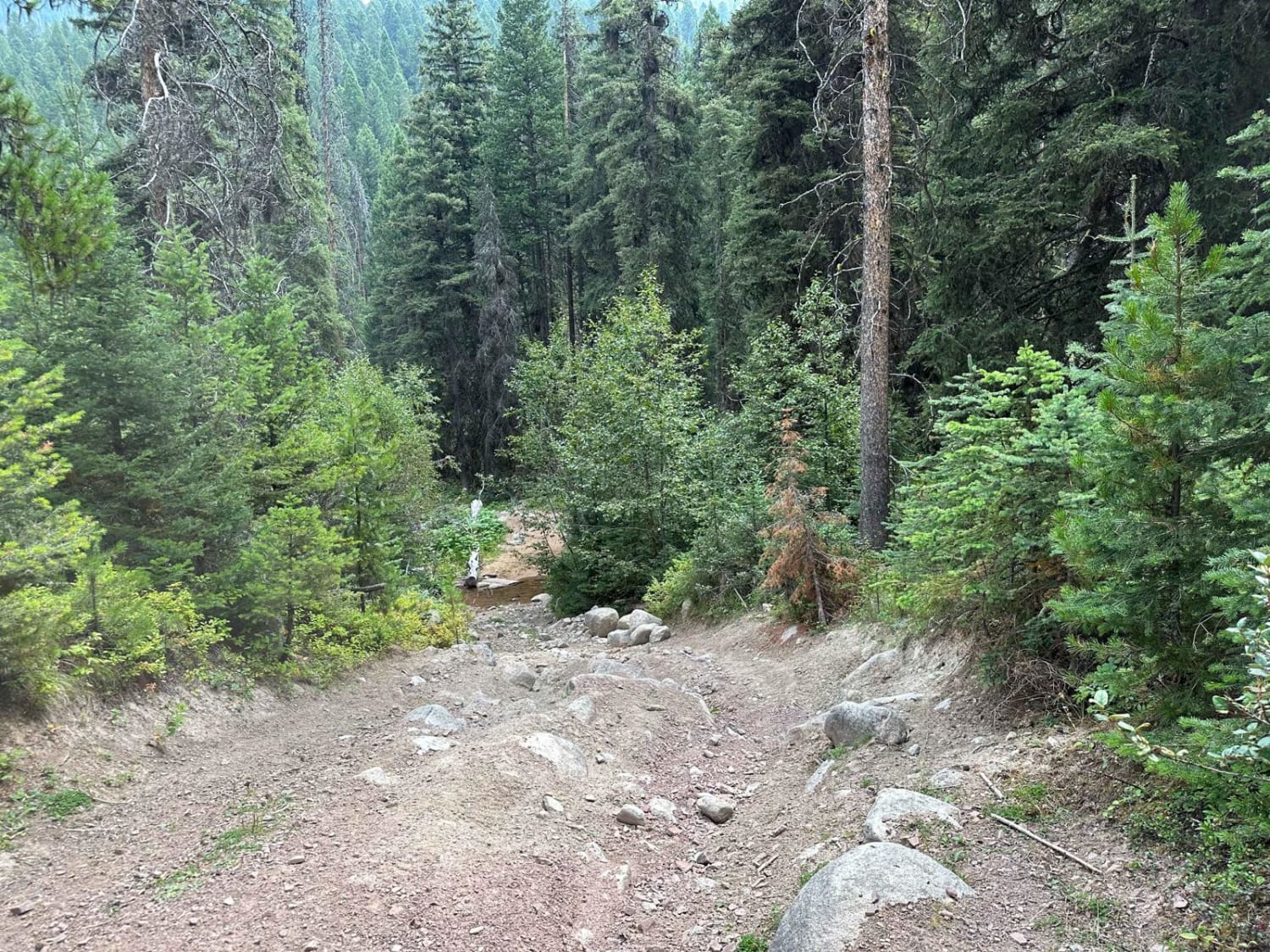
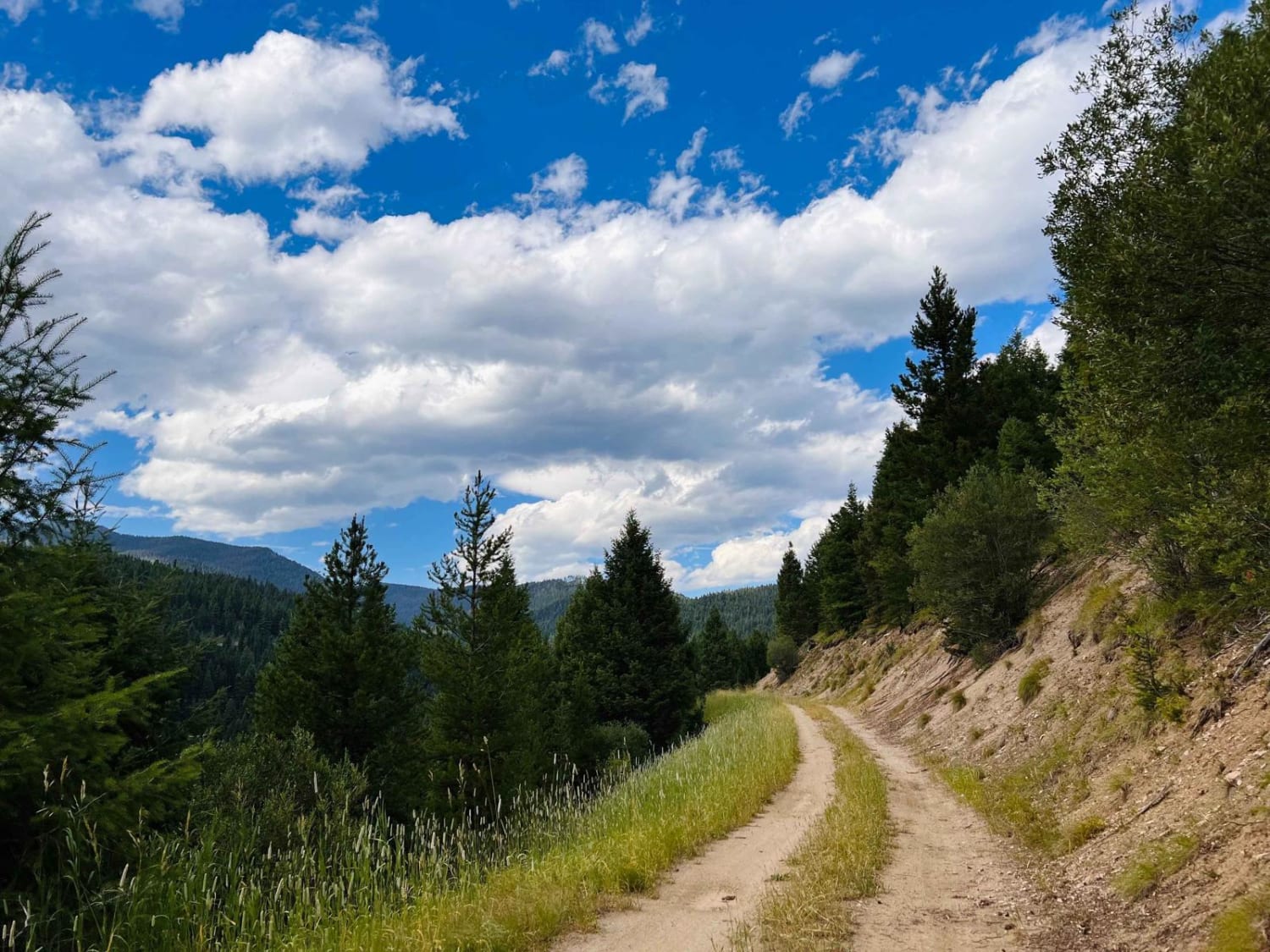
Trail 21 is a 3-mile long trail designated for vehicles 50" or less. It's unmarked at the north end, but has several trail signs and 50" pinch points later throughout the 3 miles. From the north end, in the beginning, there is a harder hill climb with embedded rock and ruts, but there is an easier way around it. There are also a couple of steeper spots on loose dirt. Most of the trail is easy though, being wide and smooth next to pine trees. Be prepared for lots of curvy turns though. This trail connects between two other segments of 50" trail, so it can be ridden as part of a bigger day ride in the Pipestone OHV area.
Photos of Trail 21
Difficulty
This is an easy ATV trail with a few steeper hills, tight turns, and some embedded rock.
Status Reports
Trail 21 can be accessed by the following ride types:
- ATV (50")
- Dirt Bike
Trail 21 Map
Popular Trails
South Boulder Creek Loop
Bush Moose Ridge
The onX Offroad Difference
onX Offroad combines trail photos, descriptions, difficulty ratings, width restrictions, seasonality, and more in a user-friendly interface. Available on all devices, with offline access and full compatibility with CarPlay and Android Auto. Discover what you’re missing today!
