Waddell
Total Miles
5.6
Technical Rating
Best Time
Summer, Fall, Spring
Trail Type
Full-Width Road
Accessible By
Trail Overview
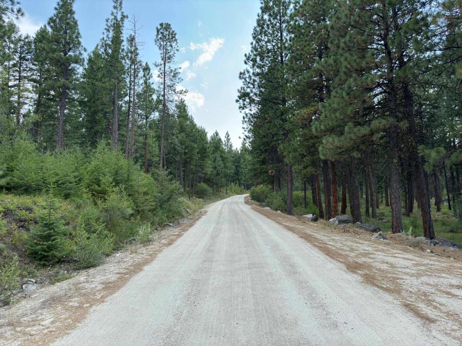
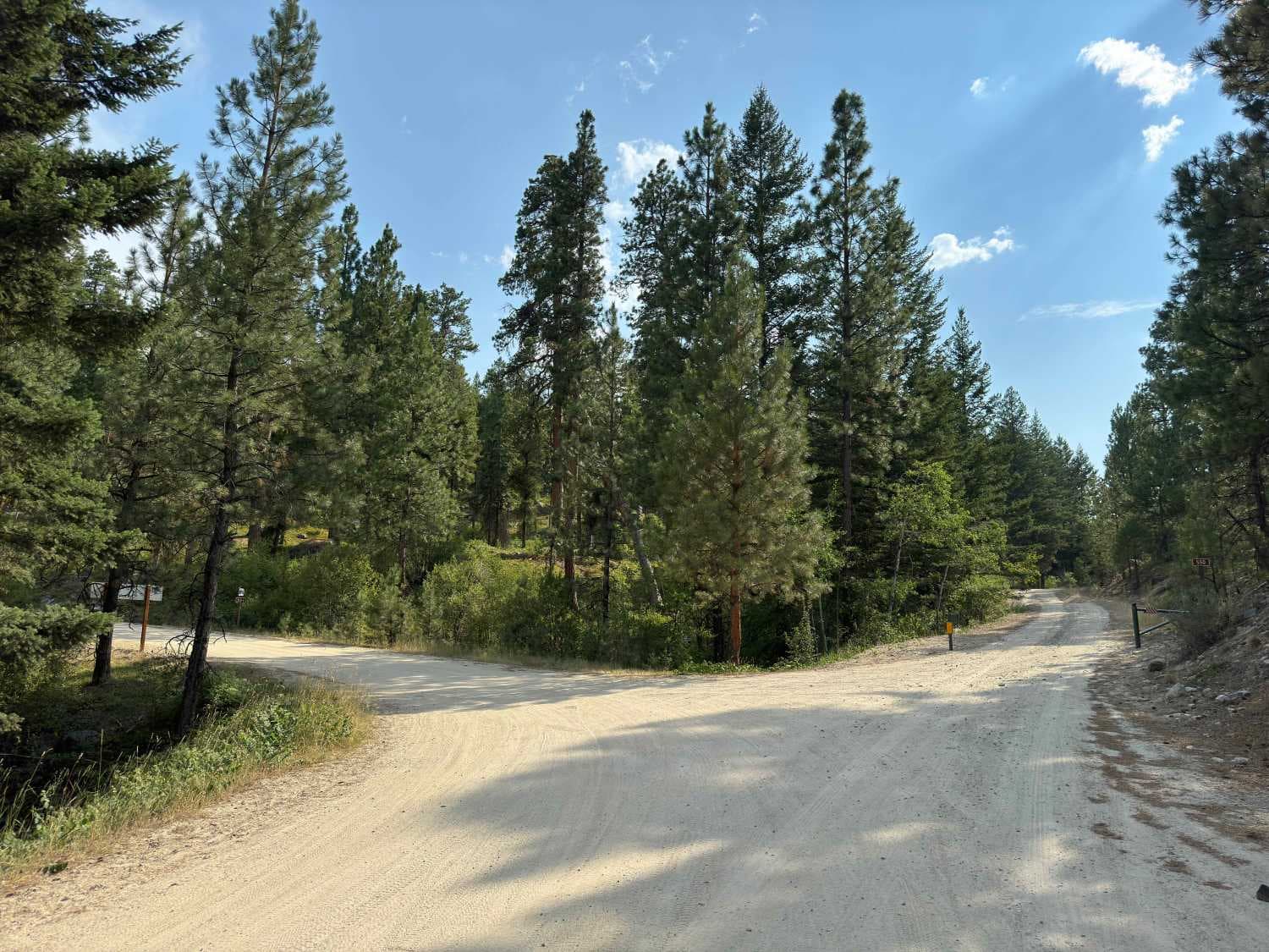
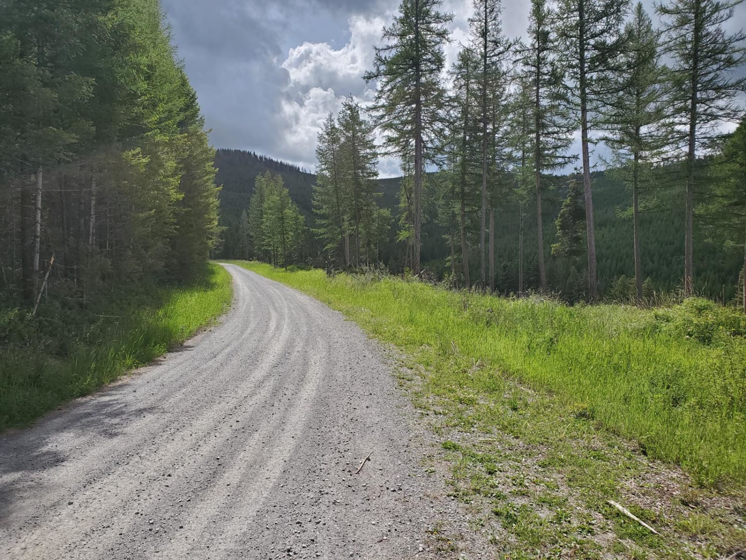
If you are in the Como area and have a little extra time to kill, it would be worth doing this trail. The first half of the trail is nice and wide so passing other vehicles won't be an issue. Once you pass the winter gate which is a few miles up the trail, the trail does start to slowly narrow until the end where it is barely wide enough for a full-size vehicle. The first half of the trail is also very sandy and dusty but that does lead to some smooth riding. Towards the end of the trail, it gets rockier but not too bad. The reason that this trail is fairly lackluster is that it doesn't change in elevation much and you won't see much other than the trail since it rides up the bottom of a gully for a while. There are also a lot of trees lining the trail, blocking any potential views there may be. The end of the trail is pretty much a dead end. There are also lots of wild raspberry bushes at the end of the trail as well. If you are someone who picks them, this might be a nice little spot.
Photos of Waddell
Difficulty
This is a very easy route. There is very little elevation gain/loss, it is mostly soft sand so it is smooth for the majority of the trail. There really aren't many rocks that have any real size to them.
Status Reports
Popular Trails

Upper Brackett Creek
Long Draw Road
Patrick Creek to Emmons Creek
The onX Offroad Difference
onX Offroad combines trail photos, descriptions, difficulty ratings, width restrictions, seasonality, and more in a user-friendly interface. Available on all devices, with offline access and full compatibility with CarPlay and Android Auto. Discover what you’re missing today!
